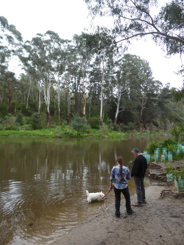
We enjoyed an amble alongthe Warrandyte riverside with Denise and Hamish (about 4km).
Trev Mowed the lawns.
We got in touch with Liz Wrigley (from our Vienna to Budapest tour) to arrange a catch up and also with Bill Teluk to tee up a time to see that family.
We planned a BBQ with Denise and Gary, but just as the meat was about to go on the plate Trevor received a text from Bill, saying that they were at the restaurant waiting for us! WOOPS!!! Hurried replanning and thank goodness for garmin navigators and we were at the place to meet them in about 30 minutes.
It was great to see Bill, Audrey, Fred and Albert and to share a bit of a disorganised meal with them. It jsut happened to be Fred’s birthday. We had meat floating in soup for our meals and it was quite tasty and very cheap.
They hope to be in Adelaide in middle of next year, so maybe we can put them up at our place for a few days or at least catch up again then.
Why didn’t I take a photo of that Teluk family while I had them with us???
The miracle is that we finally went to visit Gary and Denise in Melbourne. We haven’t been to their place for a few years so we were all a little surprised.
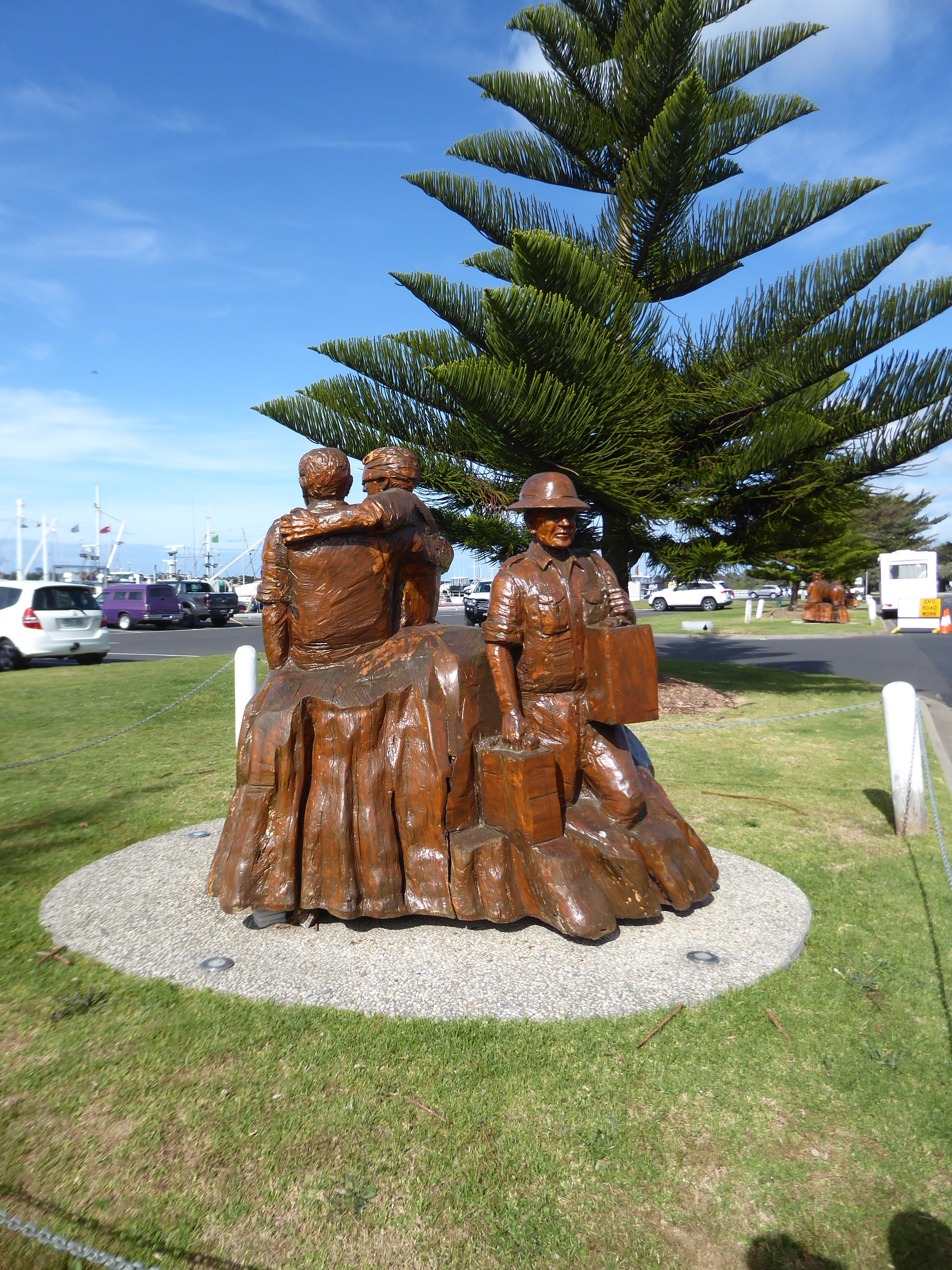
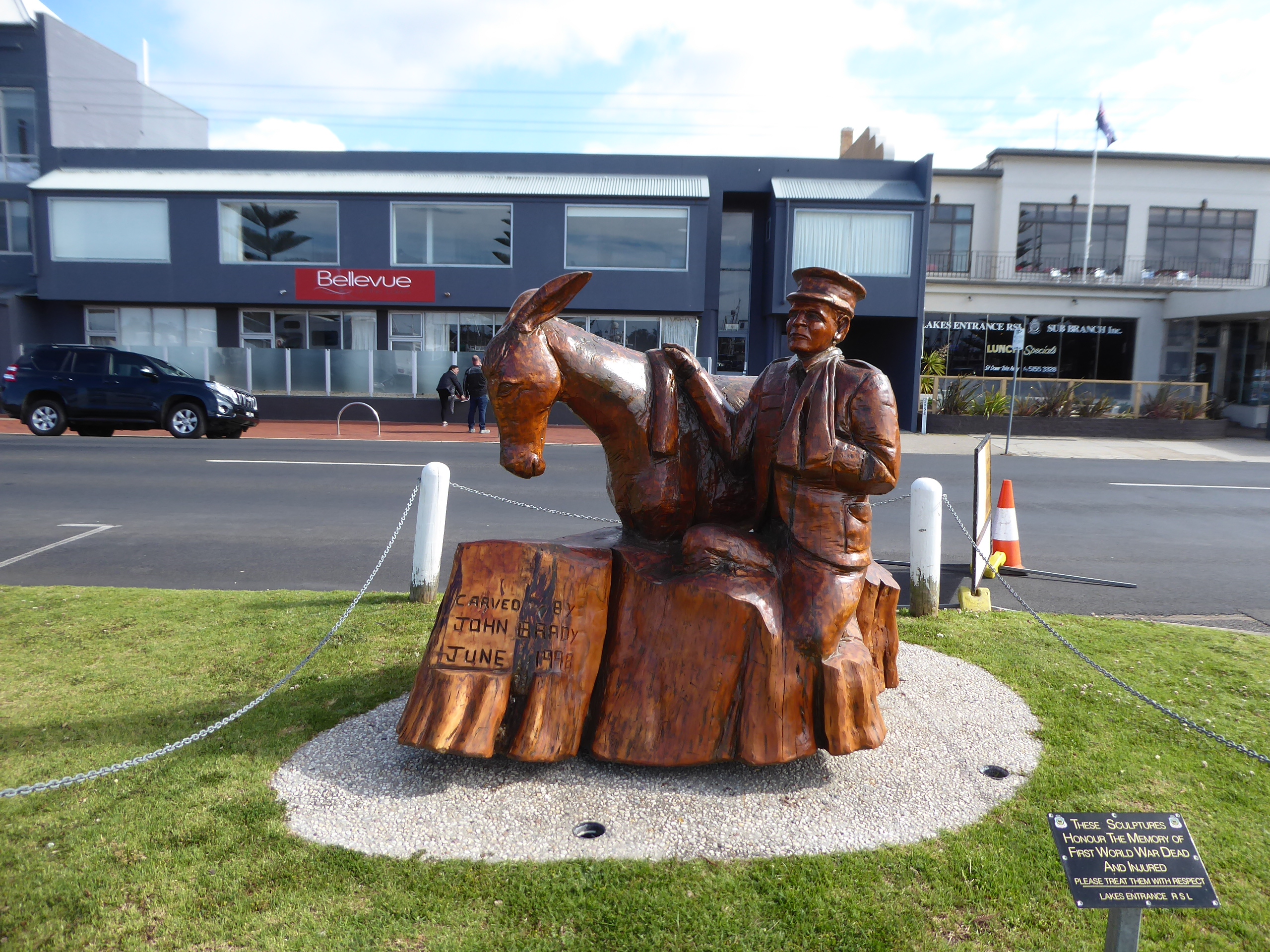
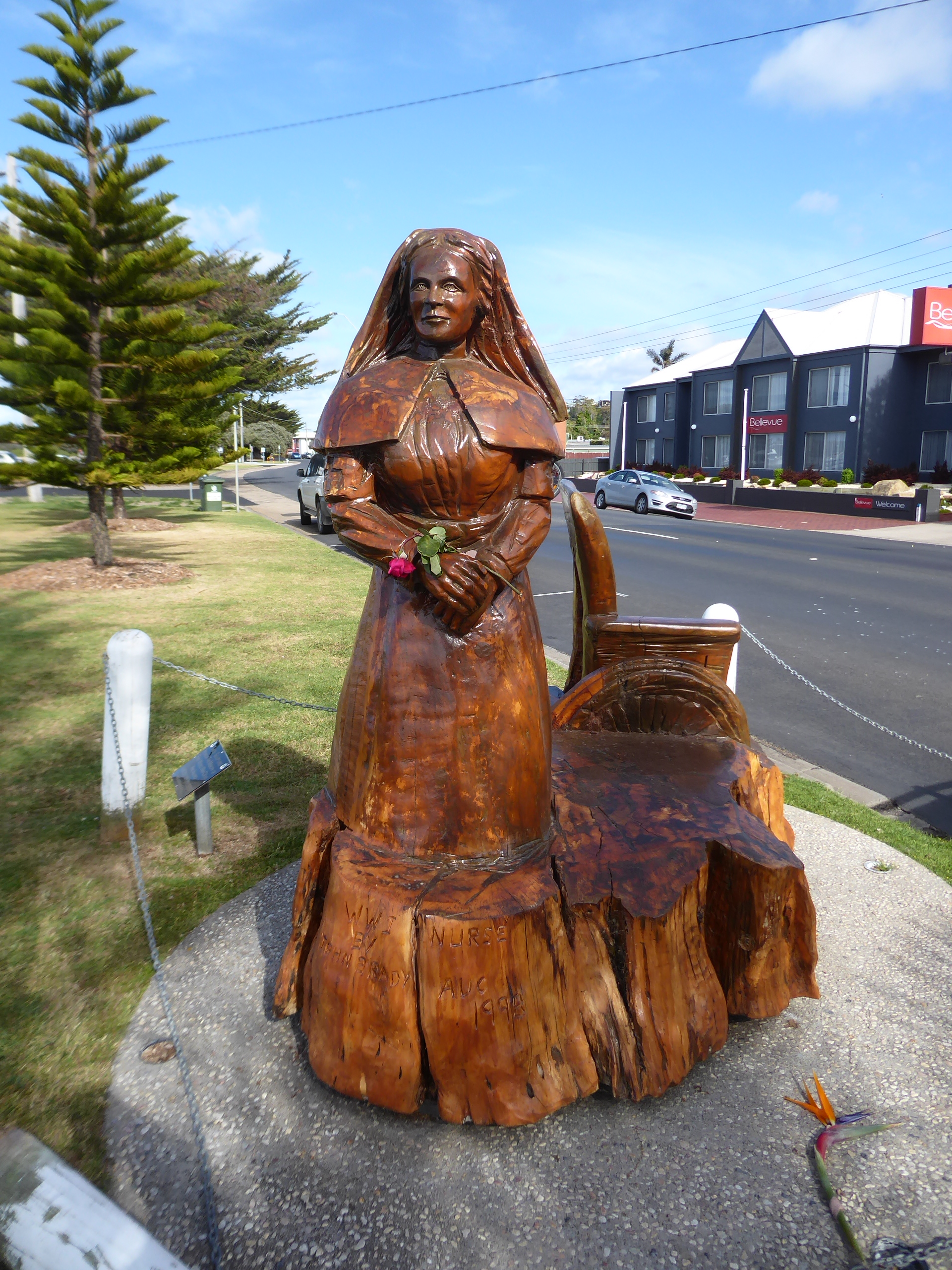
First stop was to take some photos of the wood carvings along the road in front of our hotel at Lakes Entrance.
We enjoyed a cooked breakfast at a little cafe facing on to the river before heading off from Lakes Entrance.
The Victorian roads offered lovely long straights, but we were not allowed to pass on them, and they were further ruined by the fact that there were long barriers in the centre of the road which are like the ones on the sides of the roads so that you don’t hit trees! This all seemed very unnecessary and frustrating to us .
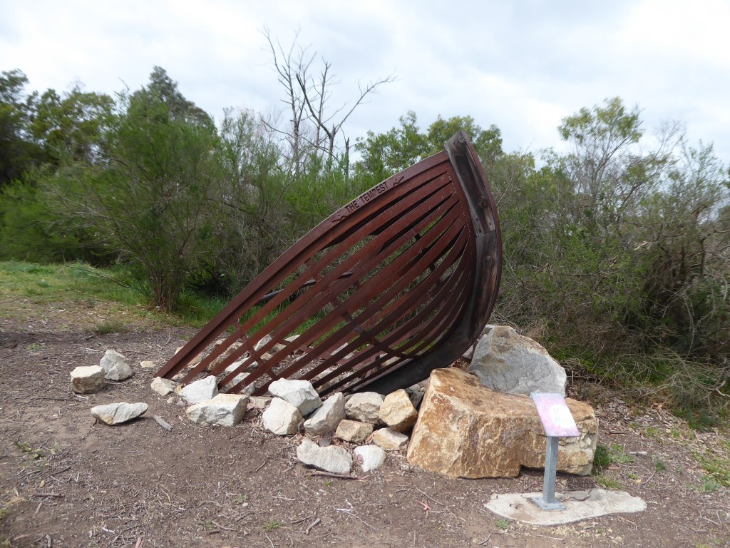
We stopped for a loo stop and cuppa at an Apex park on the outskirts of Stratford with a medieval playground! They also have a walking path that goes along here, and a sculpture trail.
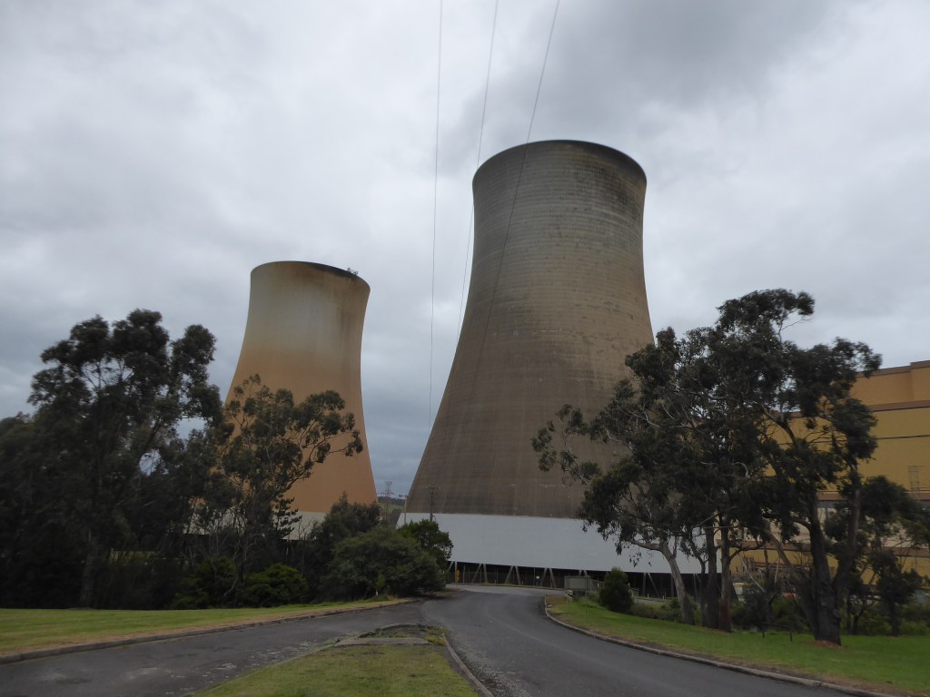
Rather than taking the main road, we decided to head off and went past the Latrobe power plant (according to google this is the Yallourn W Power Station) , where we did what we could to get a view of the Station. It was a bit hard to find the best way to go.
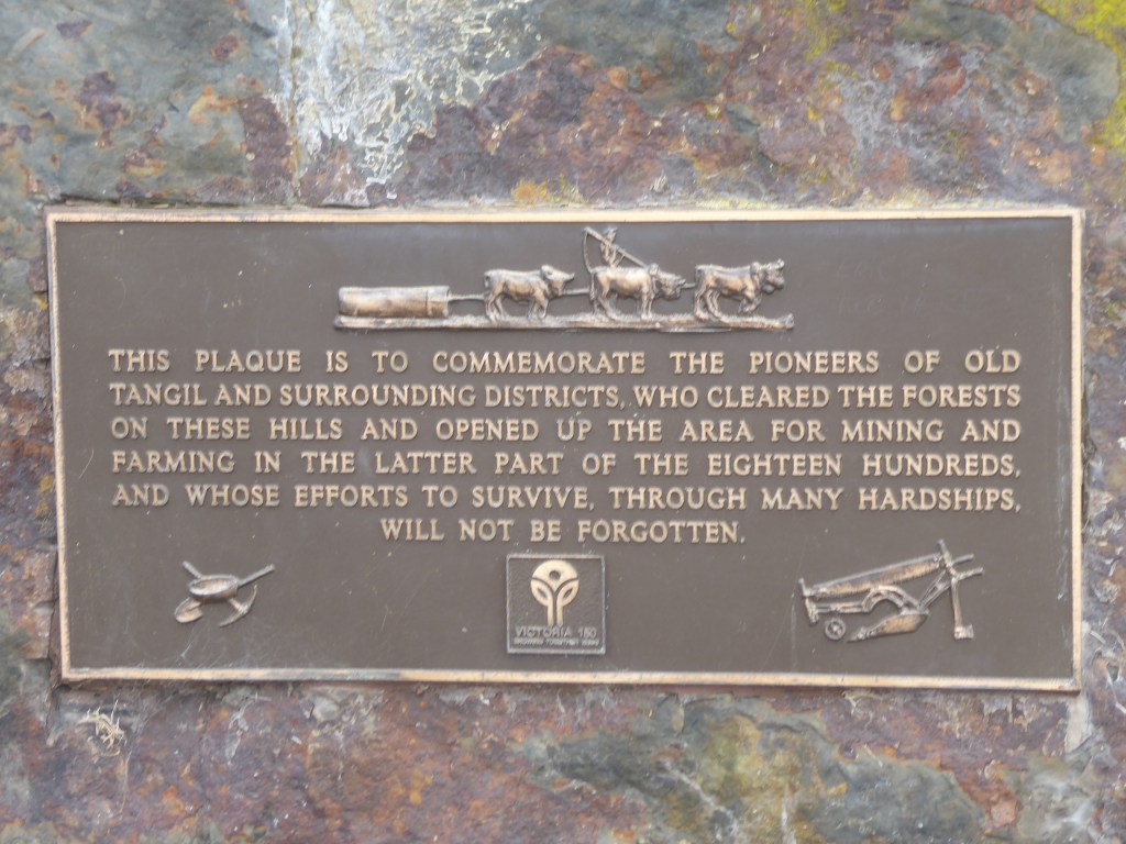
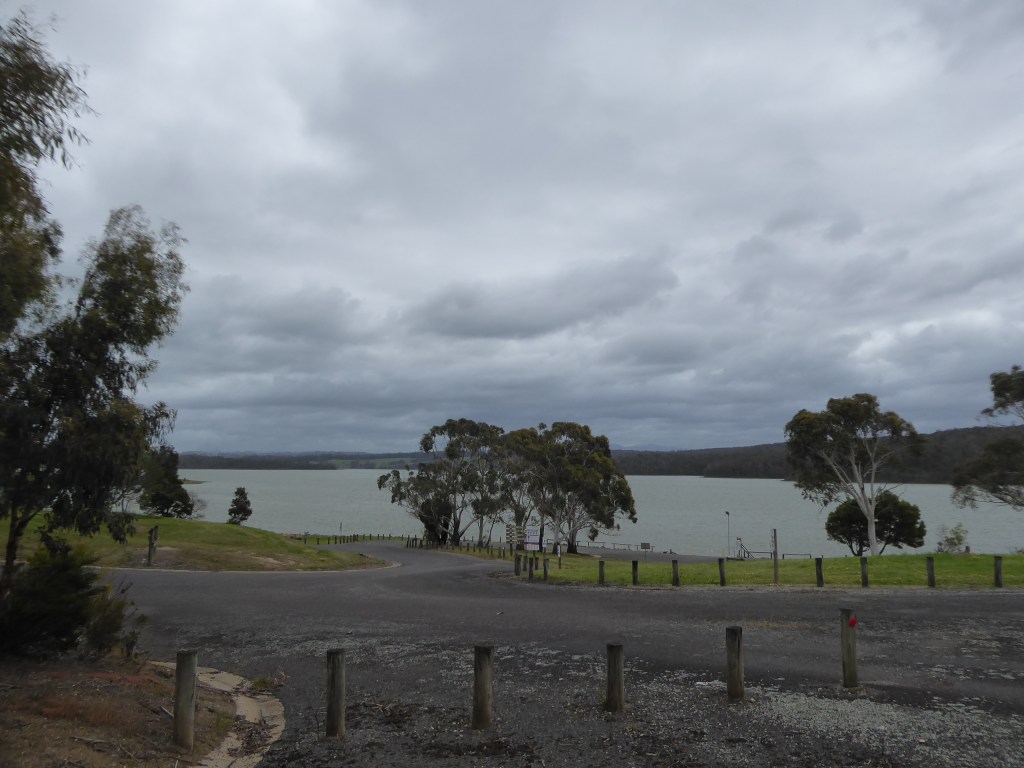
Then we headed into the hills towards Willow Grove and the Blue Rock Lake – where we wedged ourselves into a corner and sheltered from the gale force wind as much as we could to eat lunch overlooking the lake. The lake was built to provide water for the power stations down the mountain and a number of farms were swallowed up by it. There is a lovely memorial to the early families of the area here.
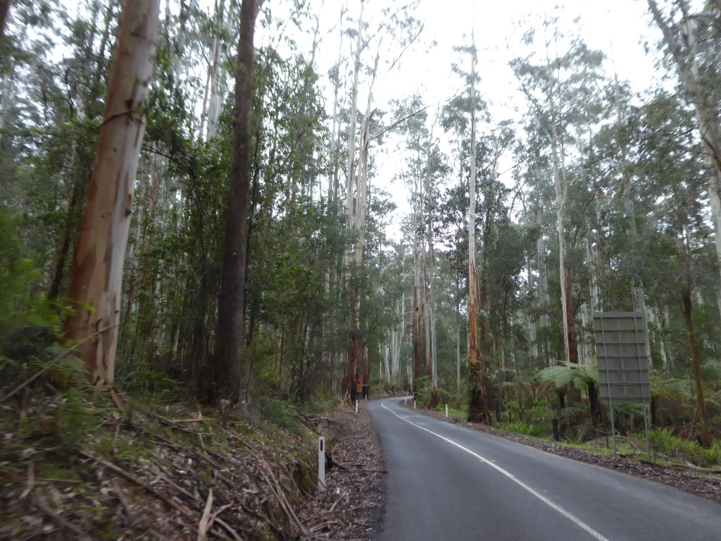
The road became more and more winding as we headed into the hills and soon we found ourselves coming through the tall forest areas.
We did make one attempt to follow a “short cut” per the Garmin car navigator, but turned around when we ended up on a forest track which was rapidly becoming steeper, slippery and narrower. Definitely not the best way to go.
We came in to Melbourne via Yarra Junction and arrived at Denise and Gary’s place in Warrandyte at about 4pm – already sick of Melbourne traffic and ready for a cuppa.
It was good to see the developments they have made to their place since our last visit and to hear of their plans for the future renovations of kitchen and family room areas.
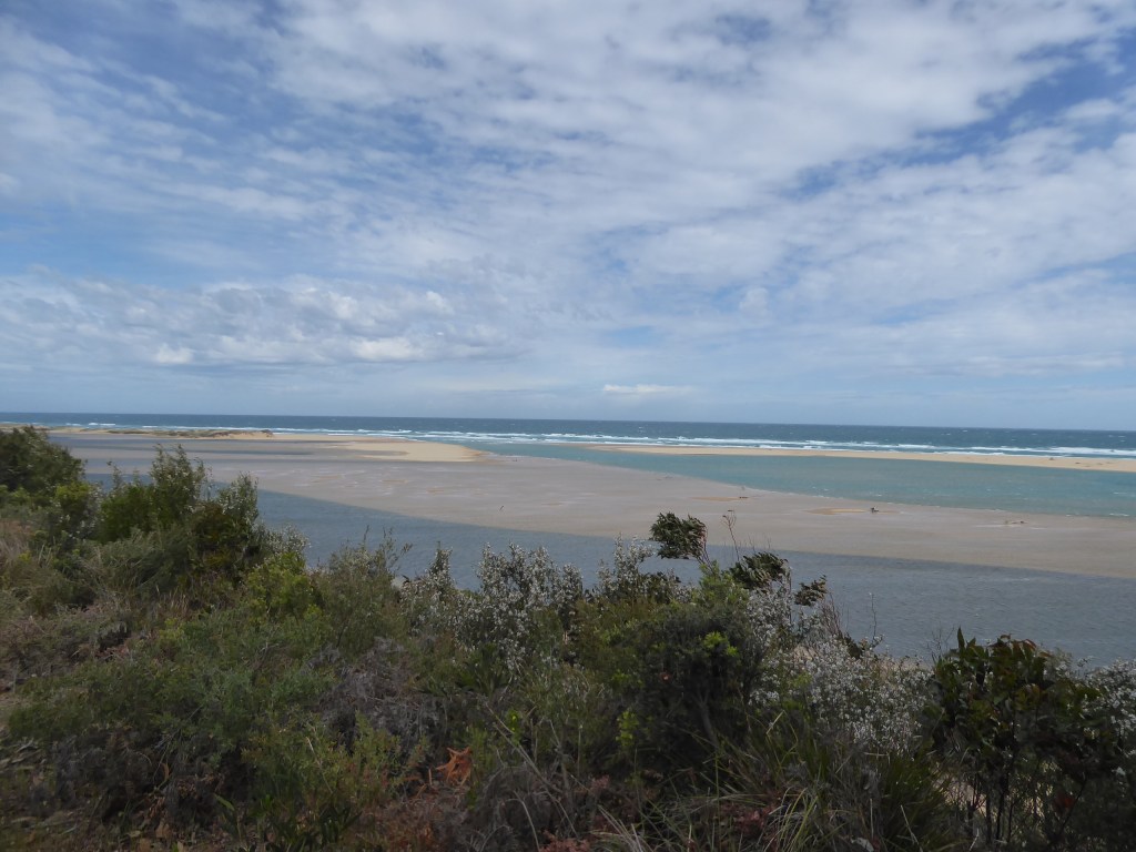
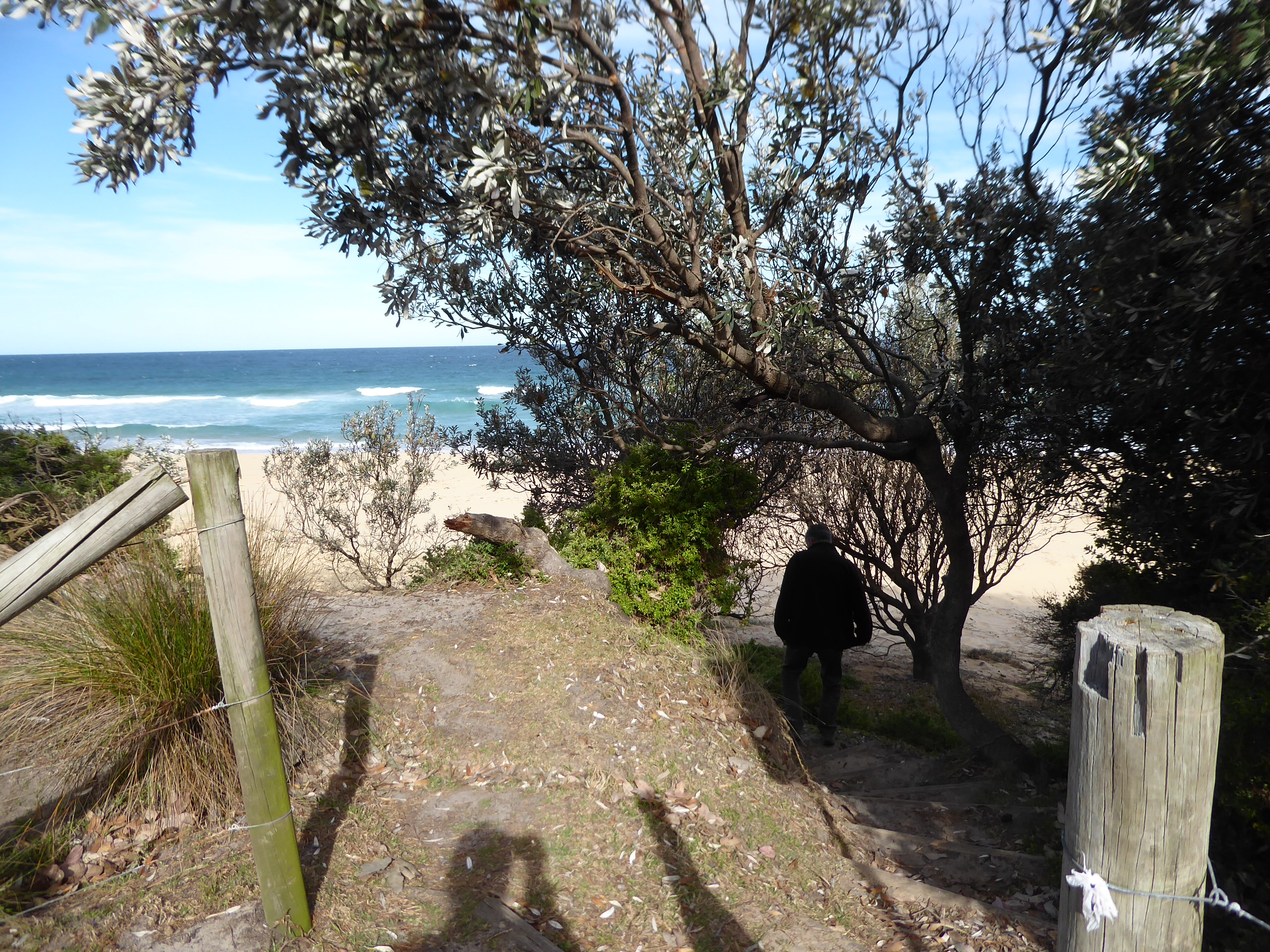
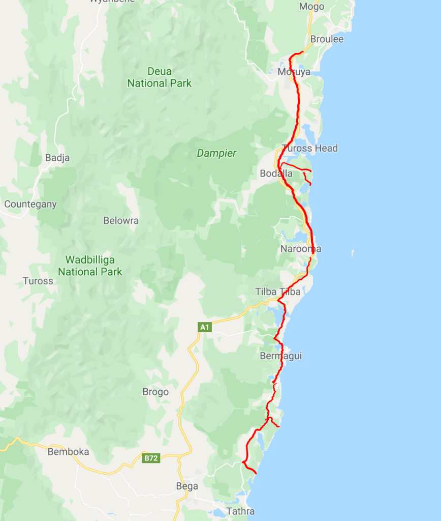
We travelled 350km today, not dropping in to so many beaches as we went.
It still seemed that we spent the day admiring beautiful places.
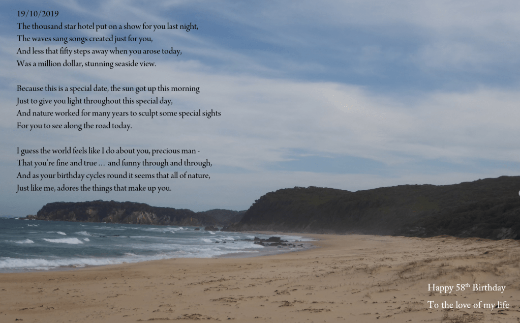
I wrote a poem in the night for Trevor, so it had better go here for the record as well.
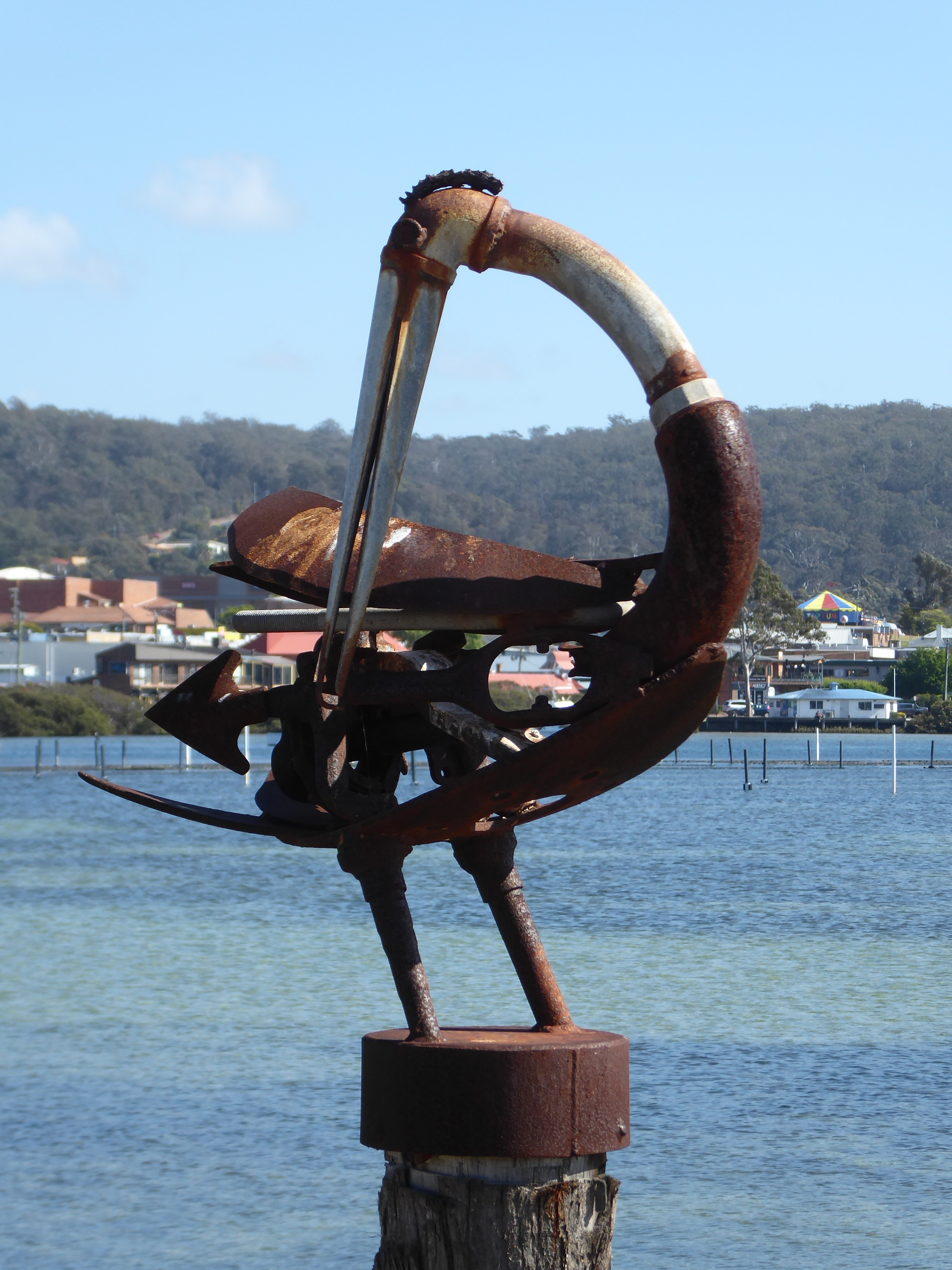
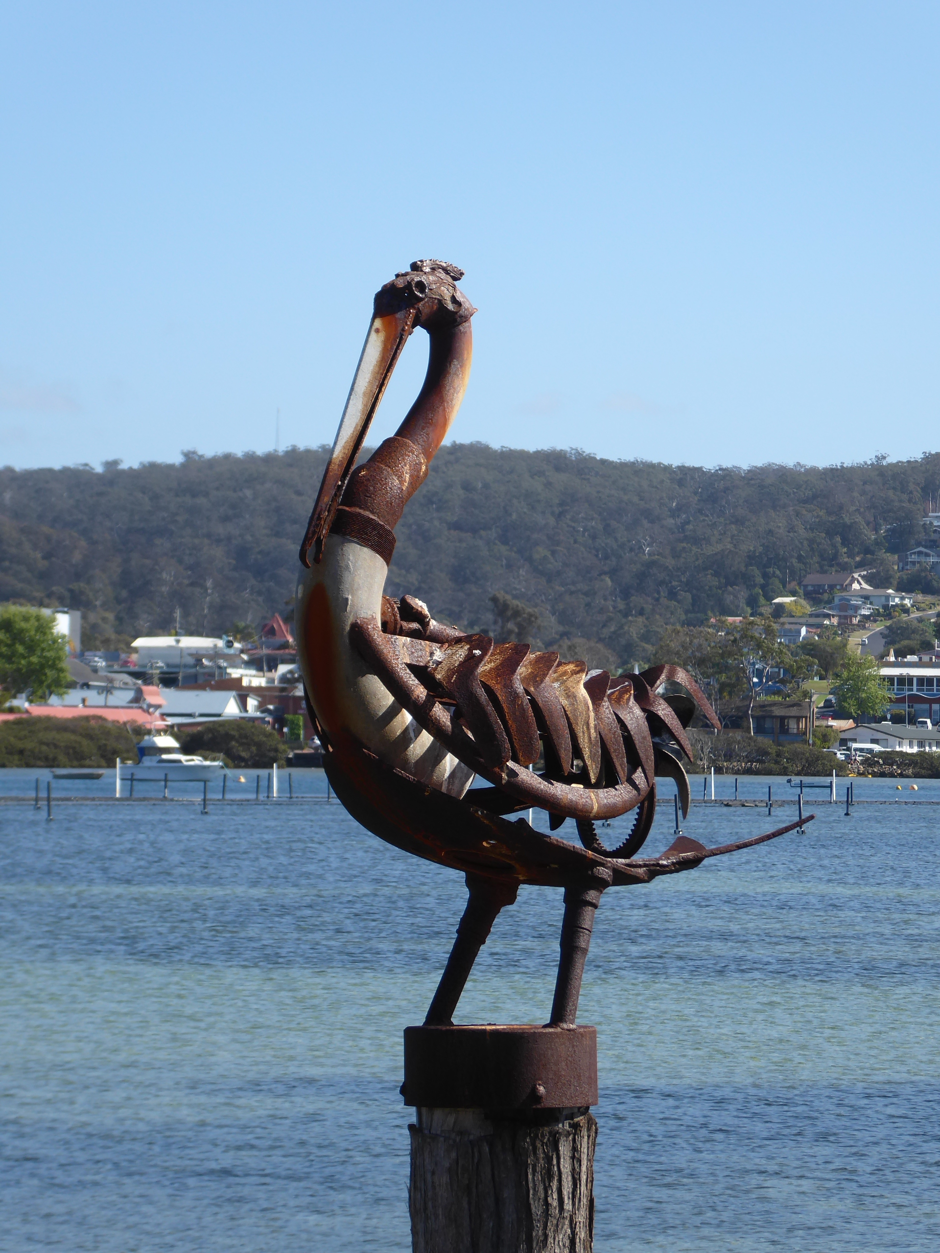
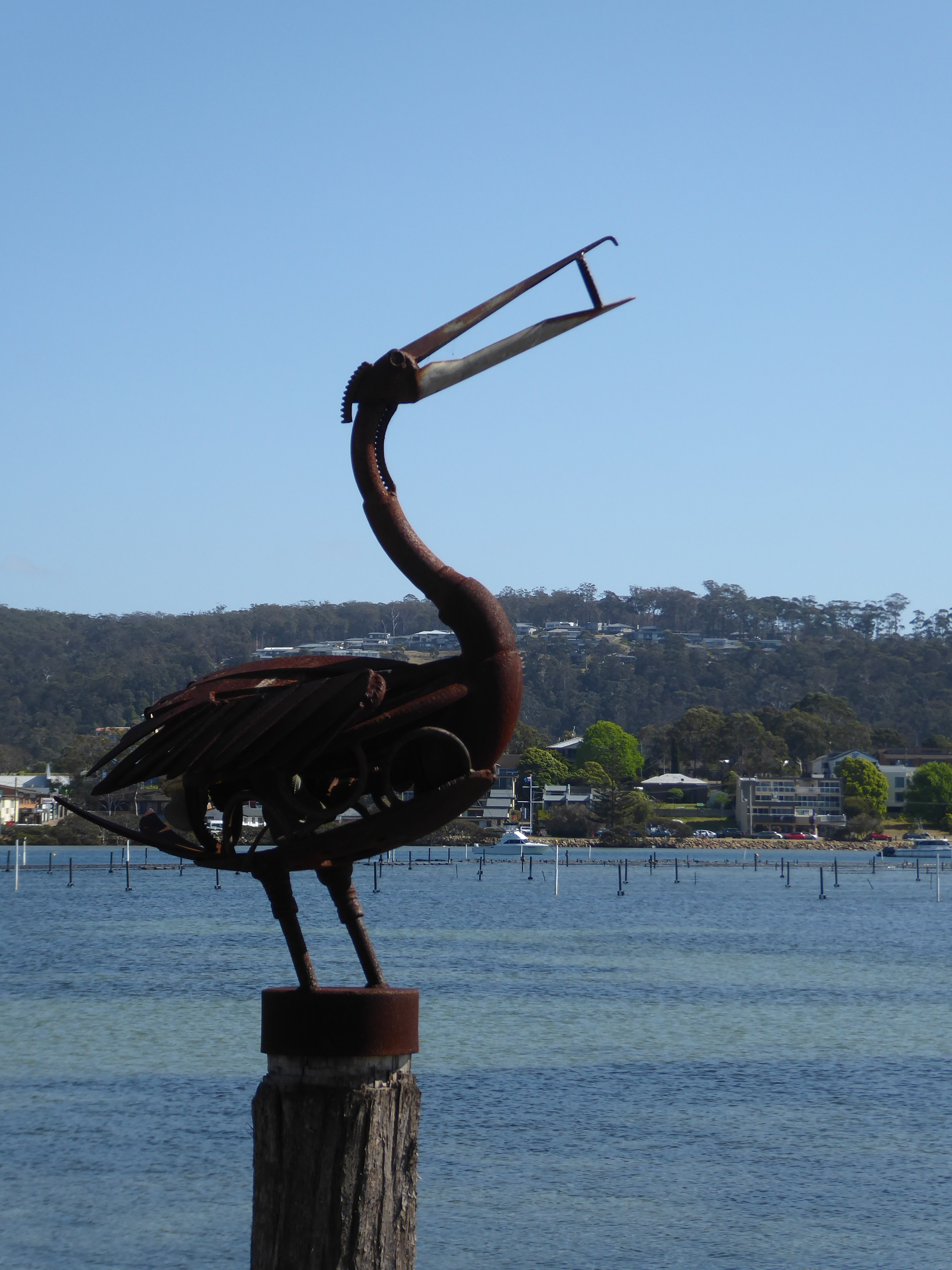
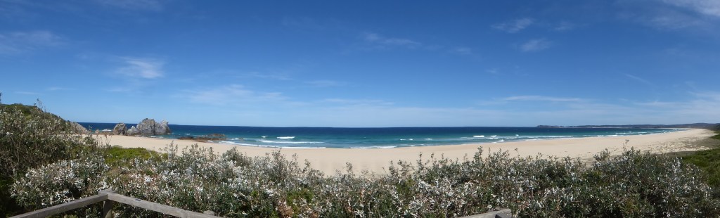
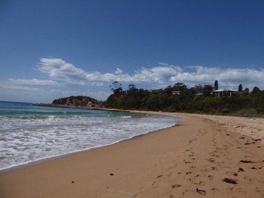
Tathra was stunning and Merimbula looked to be oyster heaven. Another lovely spot with clear, enticing water and views to die for. We took photos of the bird sculptures along the foreshore.
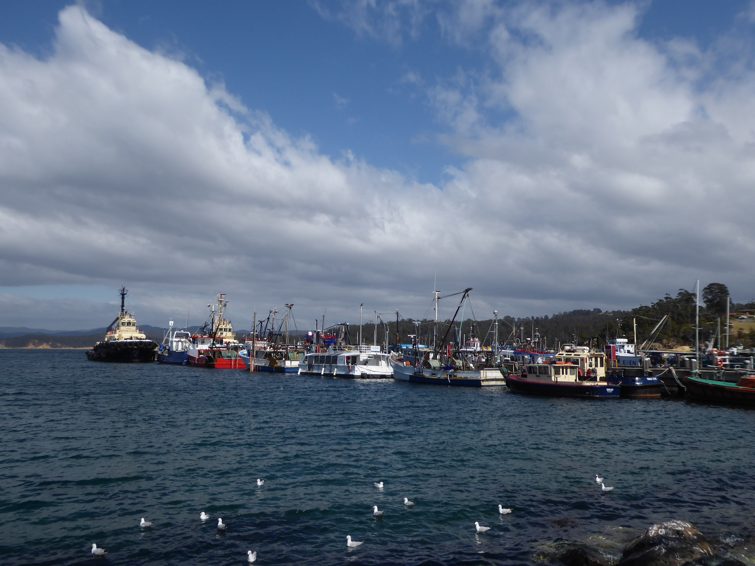
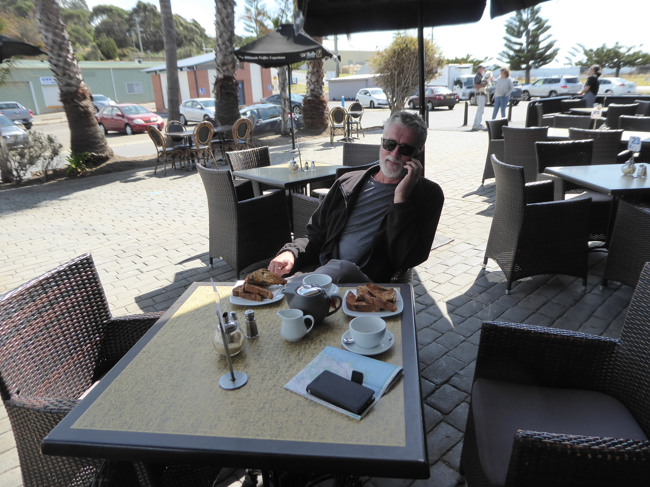
Morning tea, of raisin toast, was enjoyed at a cafe in Eden, at the wharf, where Trevor took the first of his Happy Birthday phone calls, despite the sketchy reception.
We tried to find the local community garden in town (there was a sign post) , but were unsuccessful. We thought a sign saying “Garden of Eden” might have been a great photo opportunity.
We enjoyed a quick cold sausage in bread for lunch at a roadside spot just on the border of NSW and Victoria, and soon after that we knew we were in Victoria because it started raining and just kept on going. AT 2pm it was 10 degrees compared to 21 degrees first thing this morning!
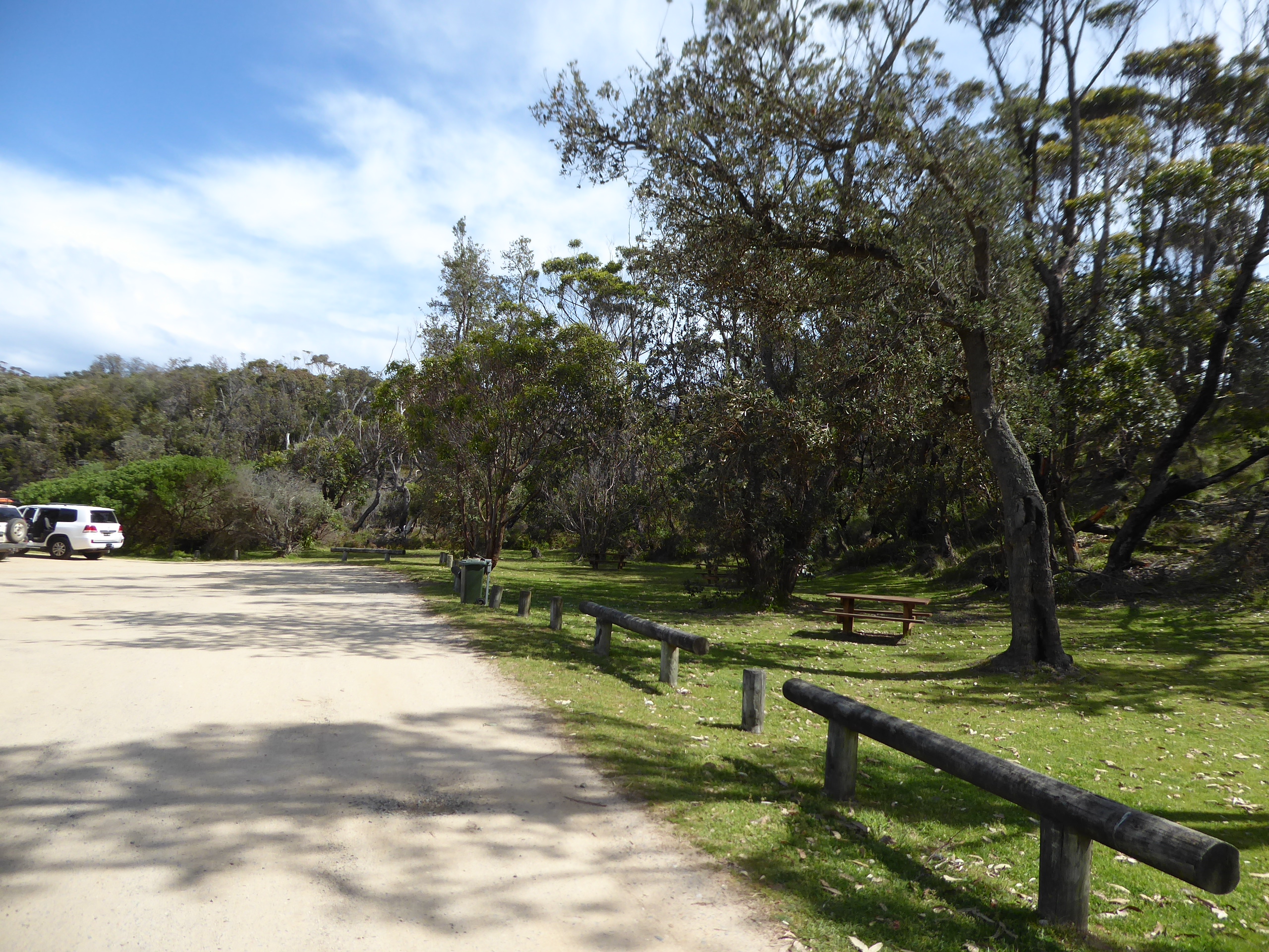
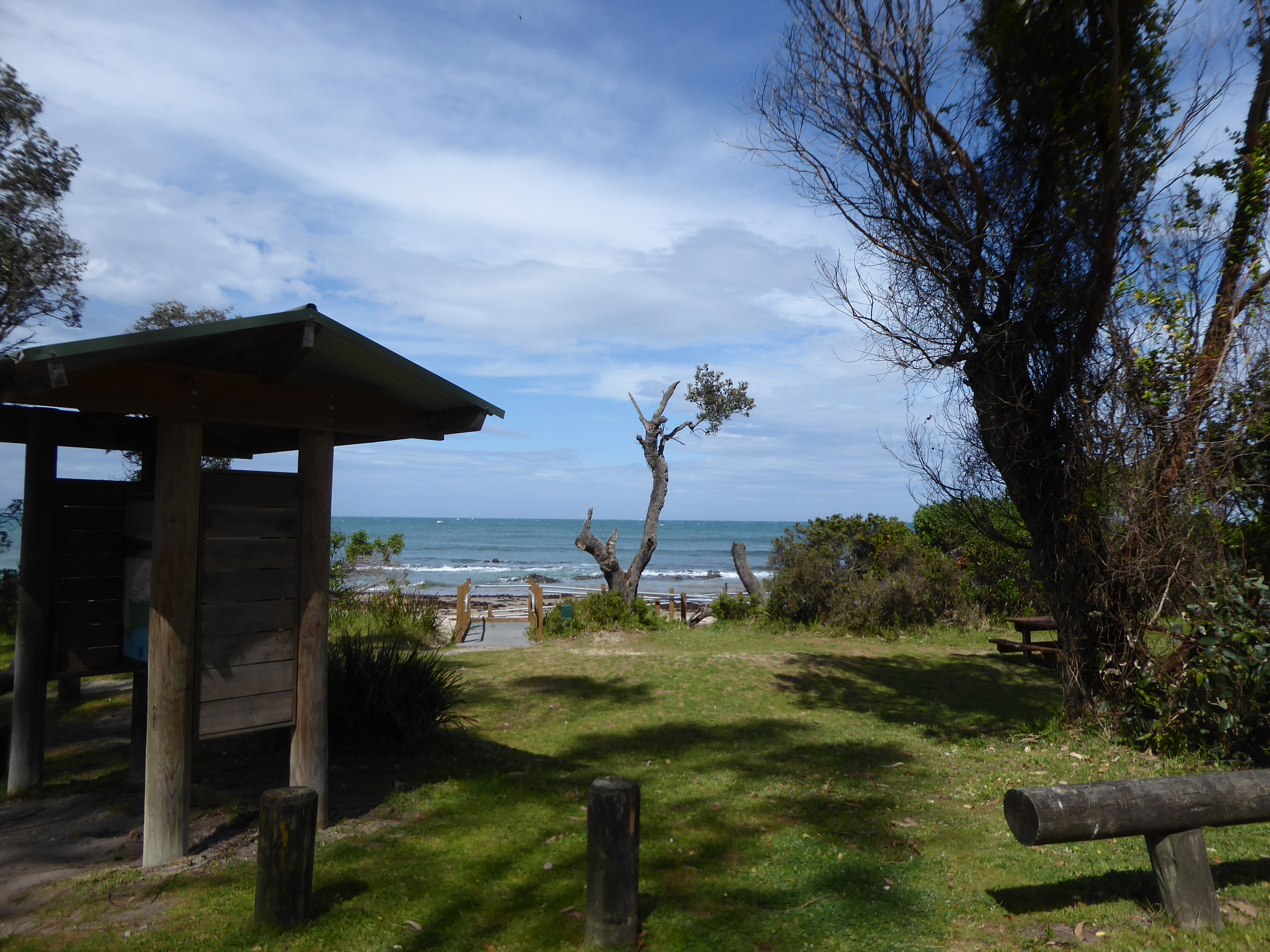
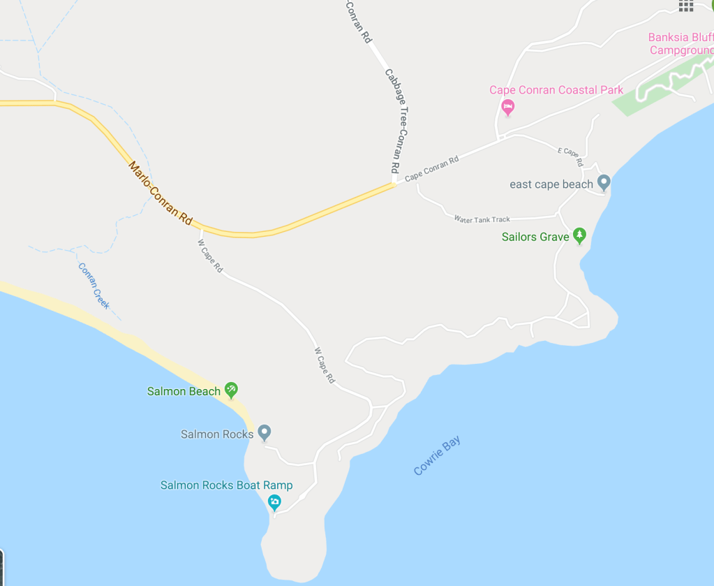
At Cabbage Tree Creek we turned off towards the coast, and followed the tourist drive to Cape Conran, and found Sailor’s Grave beach, which would have been an ideal place for camping, except that it is a “Day Use Only” area. This would be a fantastic place for a lunch stop if you timed it correctly.
We came to the estuary of the Snowy River at Marlo and followed along the side of the Snowy, to emerge at Orbost.
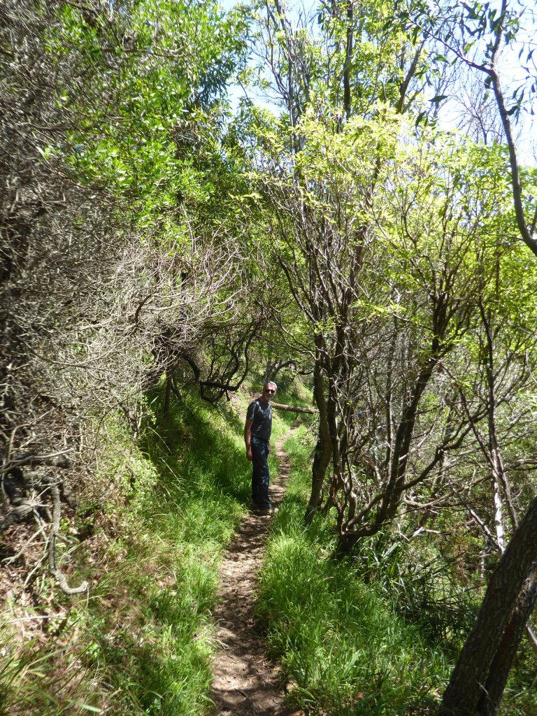
There were a lot of walks along this stretch of coast , but given the current situation with Trev’s foot, we took it easy. Maybe we will come back this way another time and see what we can find.
Eventually the rain persuaded us that it would not be a camping night for Trev’s birthday. We settled on Lakes Entrance for the night and went to check out the views before we tried to find a resting place.
We settled on the Bellevue Hotel and nabbed ourselves a room with a view over the harbour, and a King and Single bed.
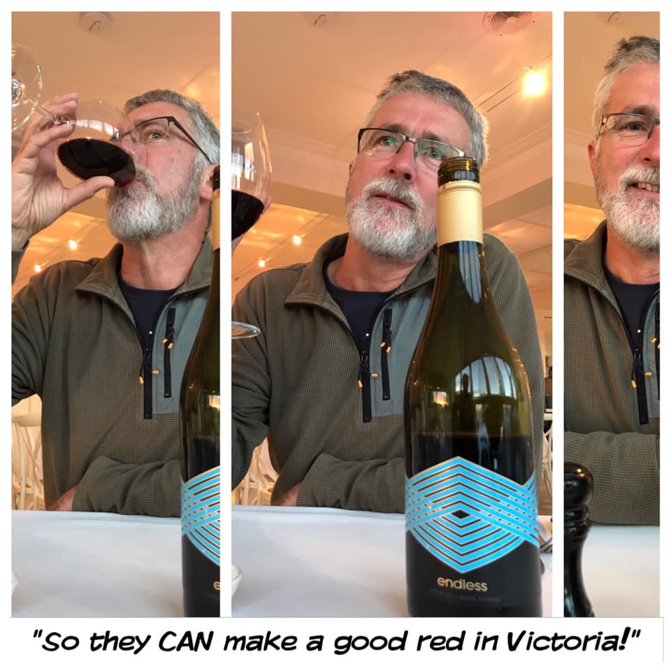
We enjoyed a lovely dinner and a surprisingly good bottle of wine.
Gillards Campground is in Mimosa Rocks National Park.
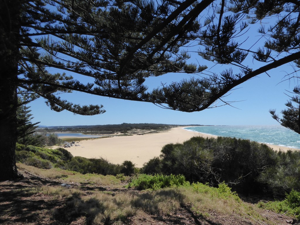
We left Tomakin with 11 minutes to spare and our first stop was Bingie point, where we did a very short walk (1/2 km) and saw a snake on the path in front of us- The bush was thick enough to hide many more on this warm day, so we were discouraged from doing more walking here, even if Trev’s heel had been feeling good enough for it.
the view form Bingie Point
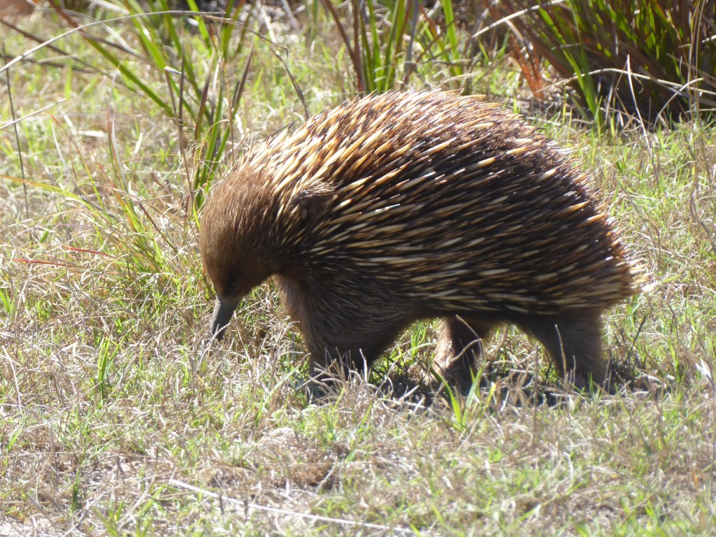
Just south of here we followed a track in from the end of a road and out the other side of the park , where we located a lovely camping ground area. We also came across an echidna happily snuffling along.
not spooked at all by out presence.
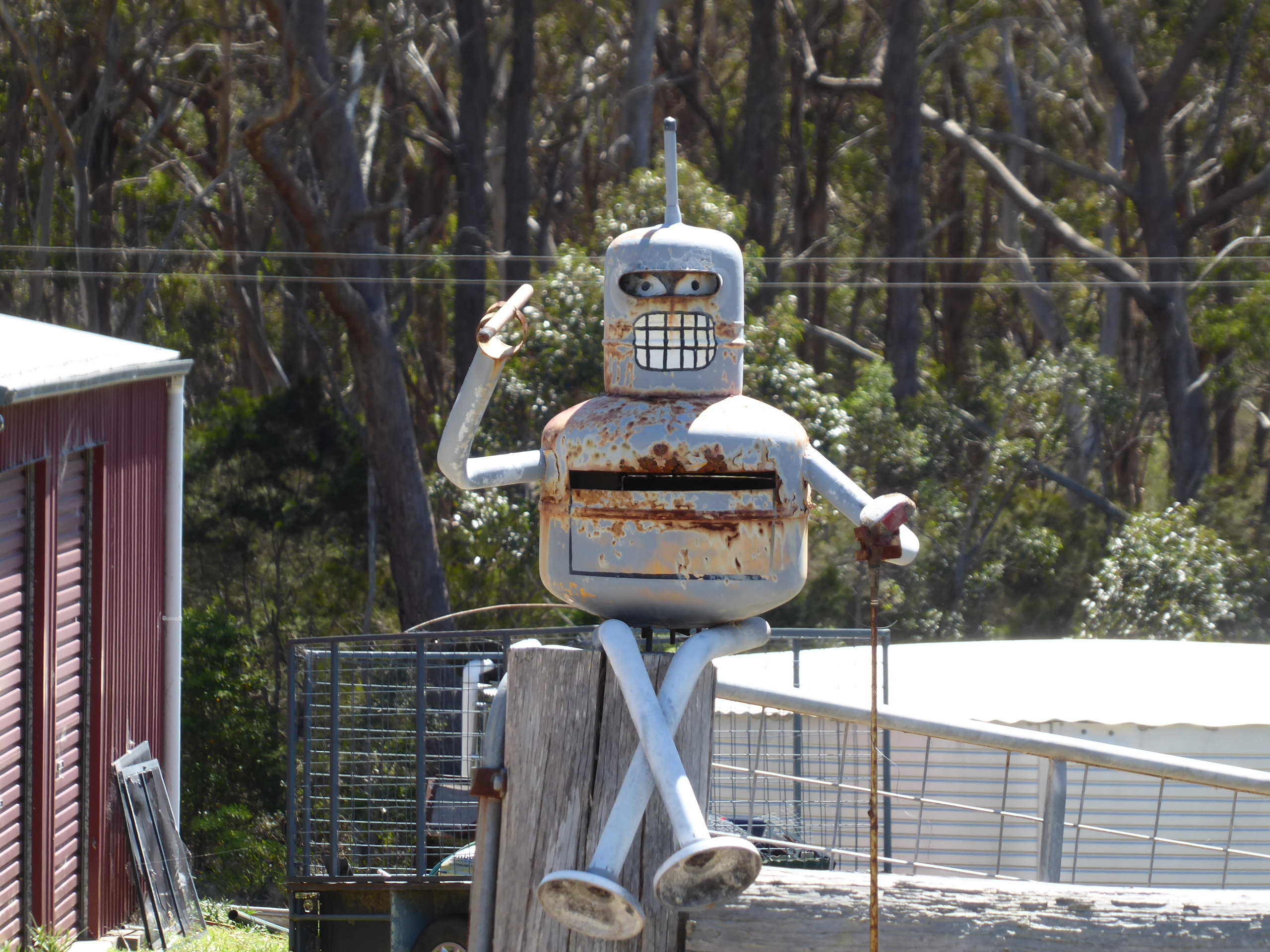
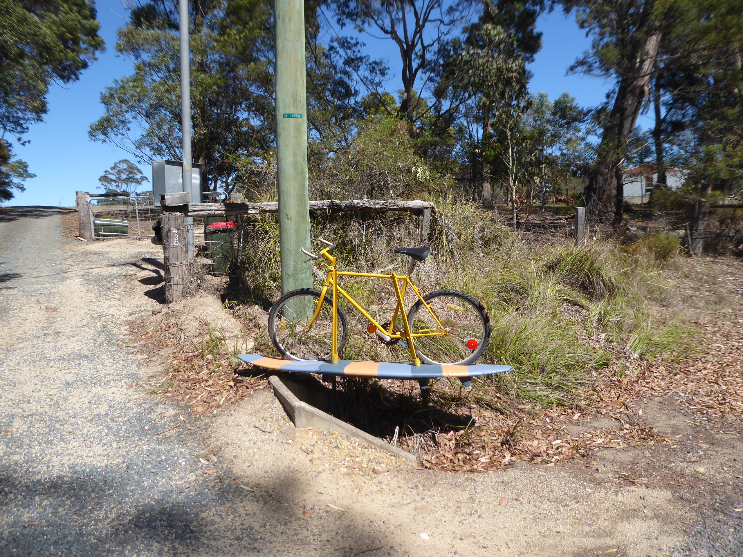
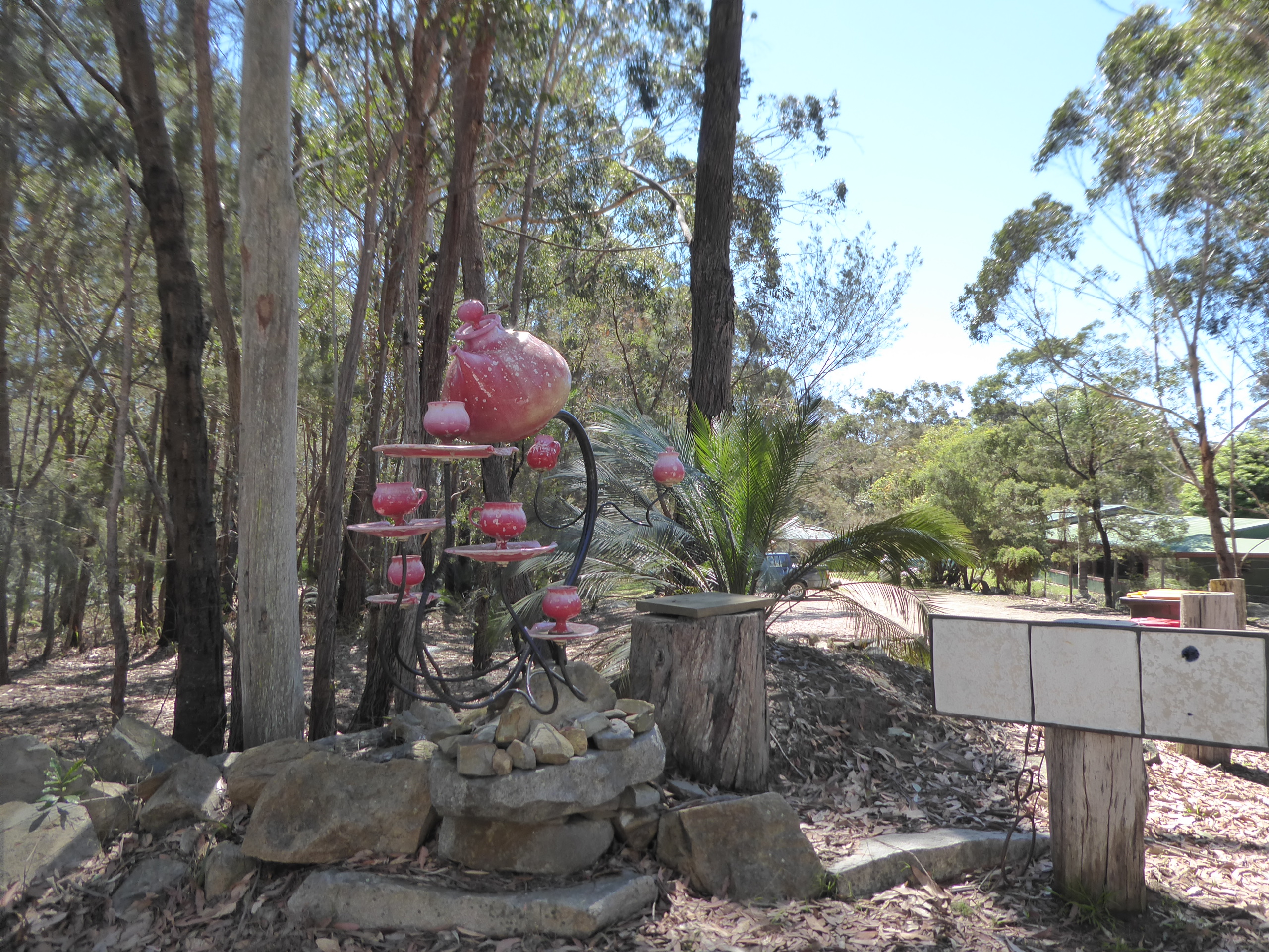
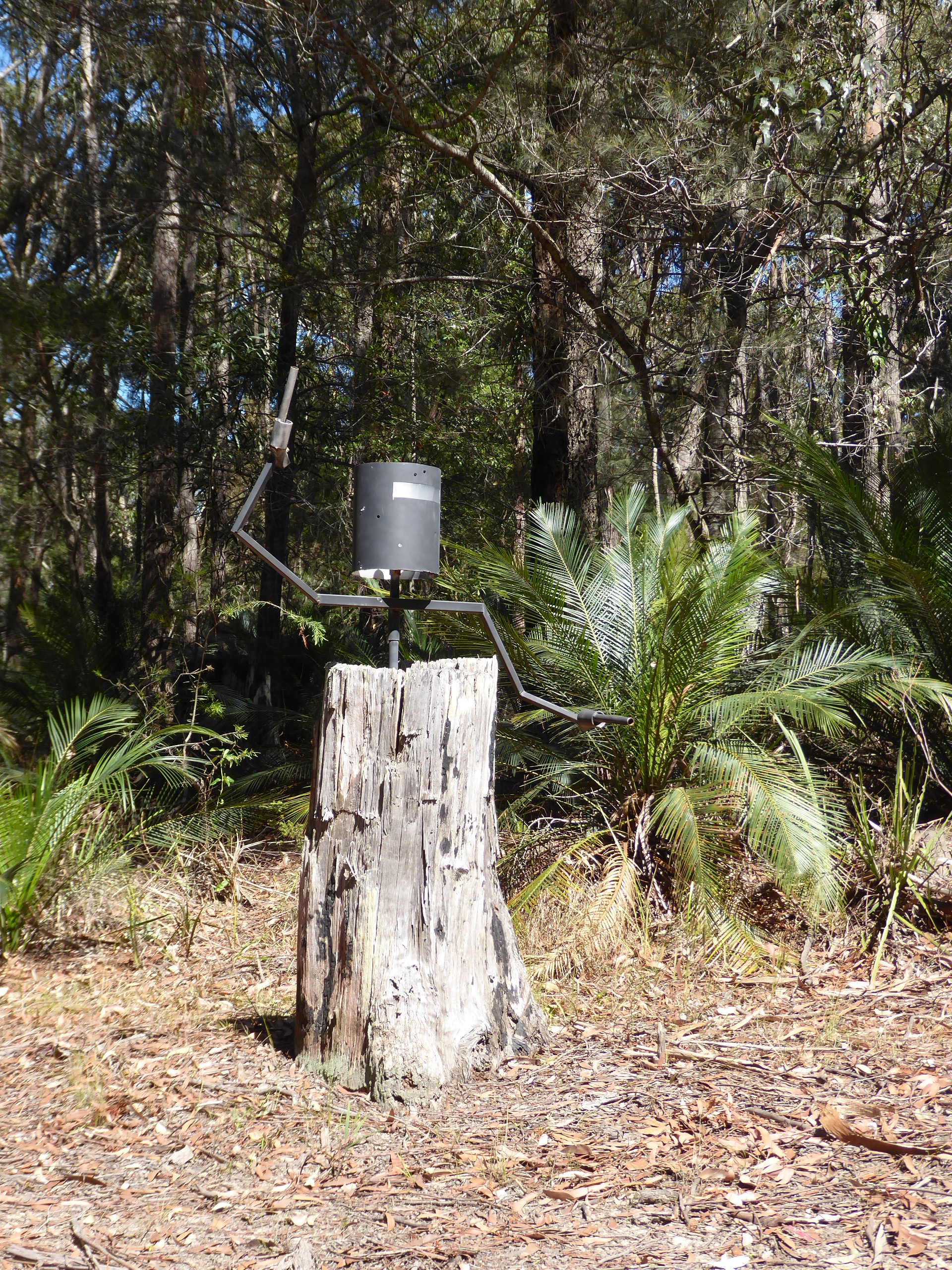
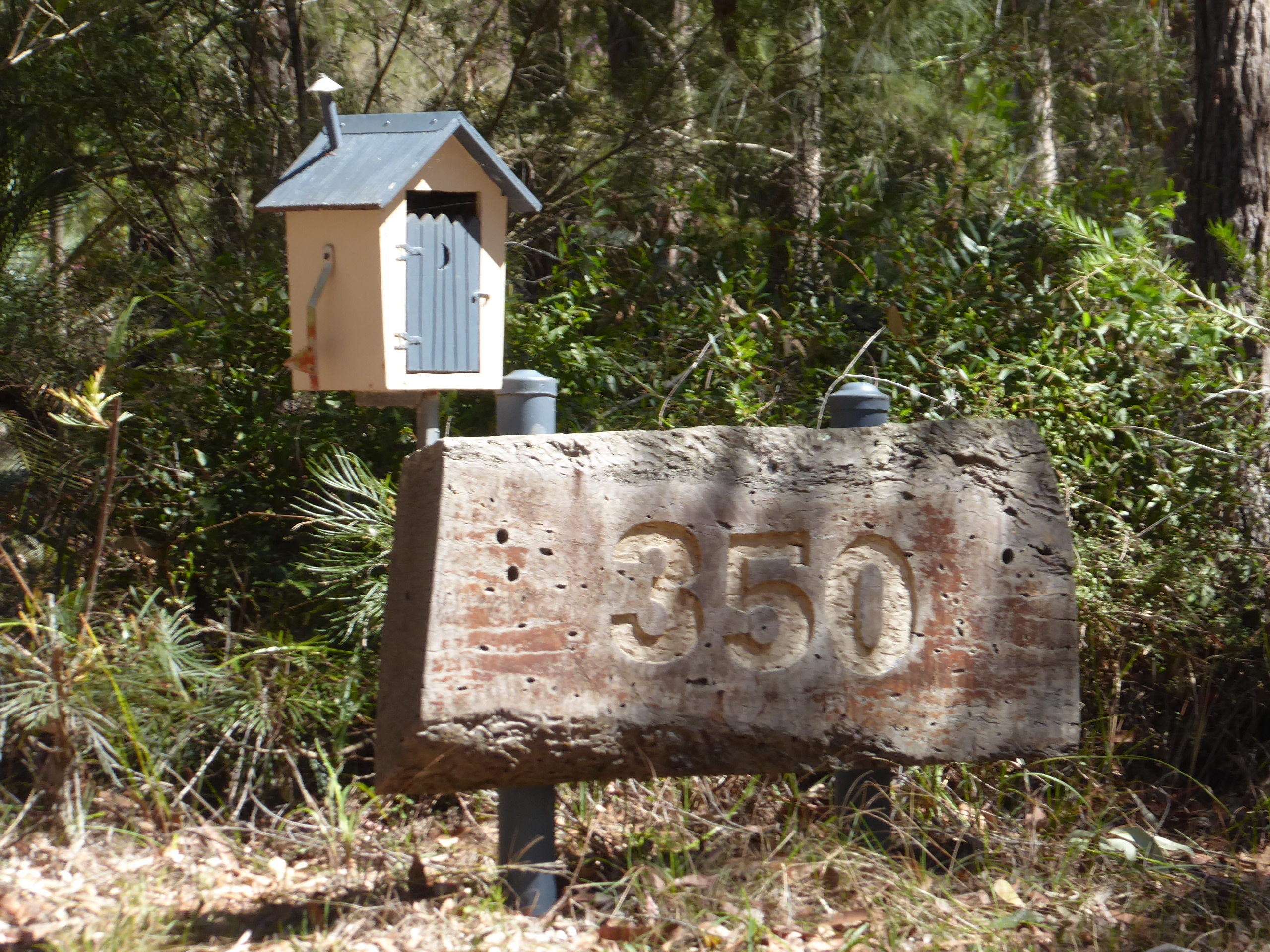
As we followed the road back to the main highway we stopped to take some photos of the unusual roadside letterboxes etc that we had enjoyed on the way down.
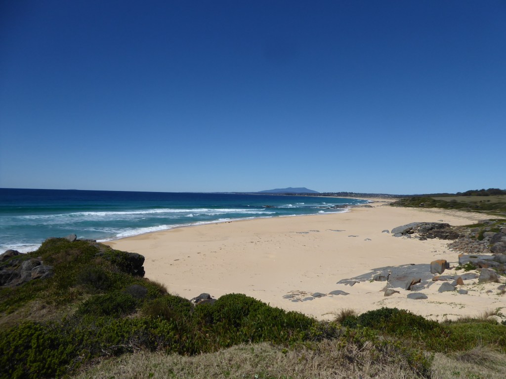
We took the scenic route to Tuross Head past Coila Lake, and looked out over the narrow spit of land called Coila Bar Beach with a steep slope of sand to the ocean protecting the calm lake and enjoyed the waves crashing on to the sand.
The walk to here from Bingie Bingie point would probably be rather nice on a cooler day, but you might have to check tide times to make sure you could get across the inlet, which we assume is sometimes open.
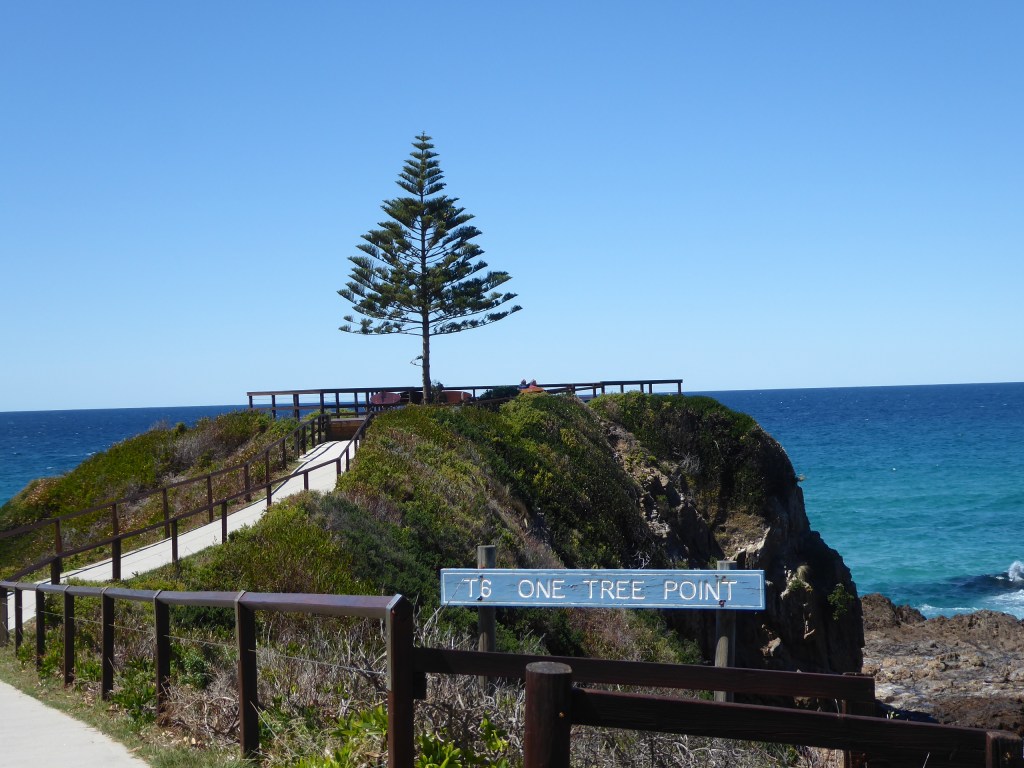
At One Tree Point, just a little further along, we sheltered from the crazily strong wind, to make a cuppa, after a quick walk out to the tip of the point to admire the views.
not sure why they call it this!
There is a natural spa here, but I think you would have got a bit too much buffeting today if you chose to use it.
At Tuross head we stopped at a little fish and chips cafe hidden away on the bay, had great lunch and watched a kid fish from the family boat as they waited for theirs to be cooked as well. He lost plenty of bait with lots of nibbles, but caught nothing.
We drove on to the south, taking a detour to Duesburys beach for a bit of a quick look and look out over Montague Island (Barunguba) before continuing on.
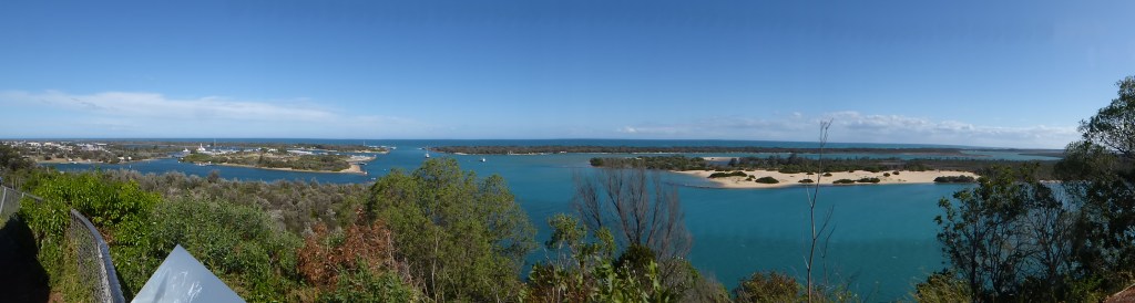
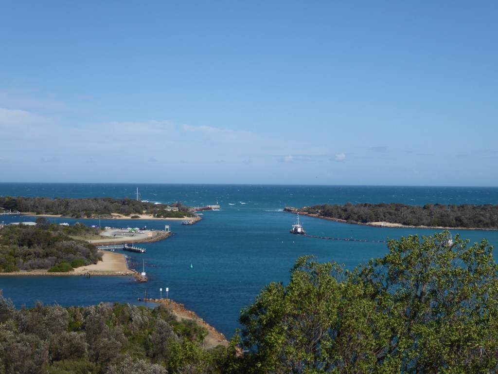
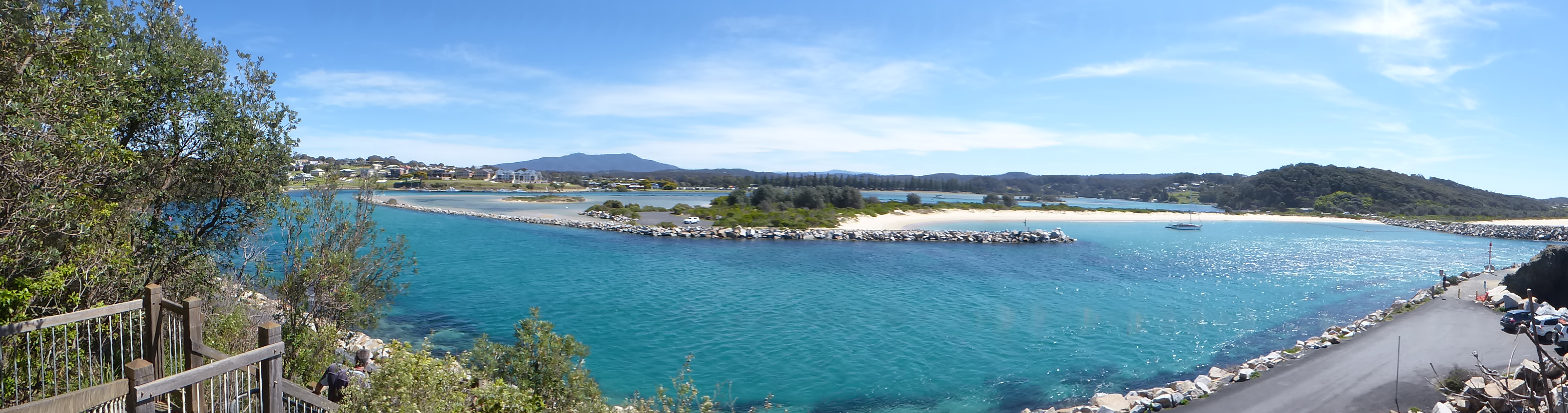
At Narooma we looked out over the sandbar and sparkling clear water and understood again why people flock here for holidays. We admired Australia Rock and walked to the top of the viewing platform to admire the amazing long distance panoramas.
A little later we stopped for a cuppa at Mystery Bay, where the boat of Lamont Young (a NSW surveyor) was found empty on the 10th of October 1880, with no explanation for how the 5 men who had been on it had disappeared.
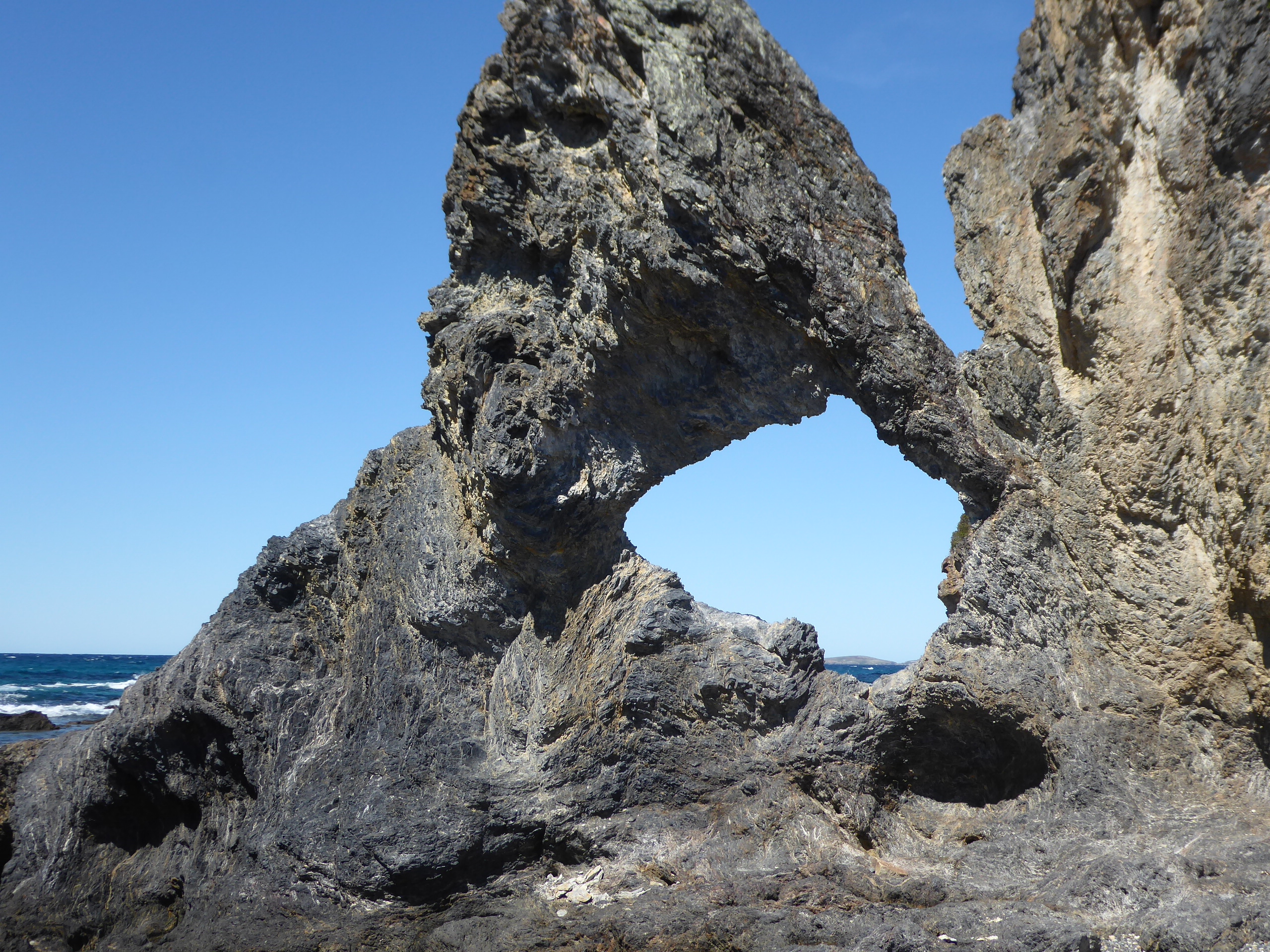
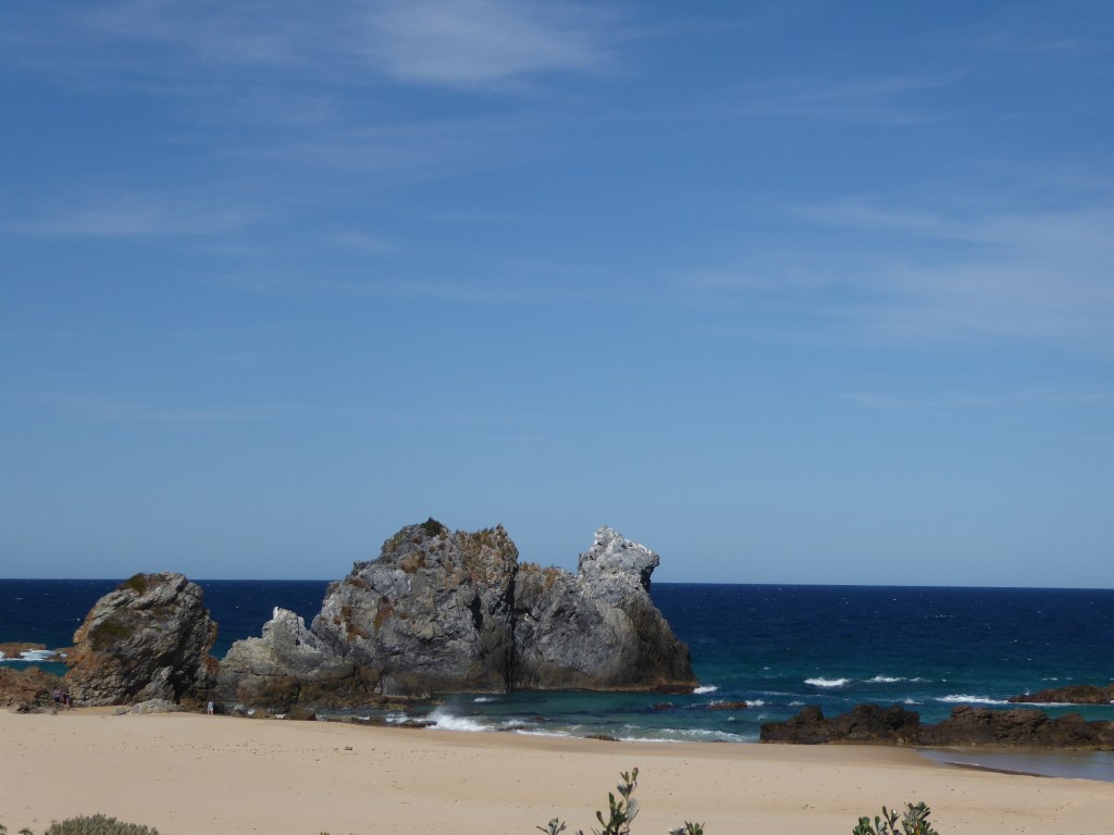
We took the Bermagui Scenic Drive to see Camel Rock where a woman’s face can be seen in the rock if you look from the correct angle (or a camel, or both)
and admired yet another beautiful beach.
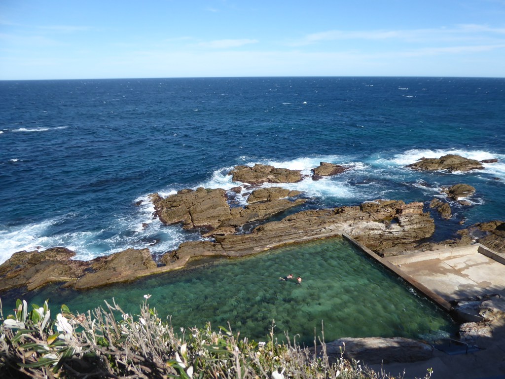
We saw the stunning Bermagui Blue Pools (complete with a couple of fellows swimming in the chilly looking water)
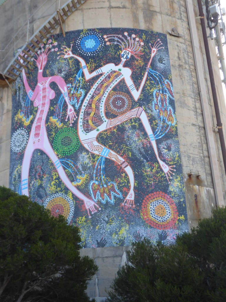
..and took a photo of the local dot painted water tower.
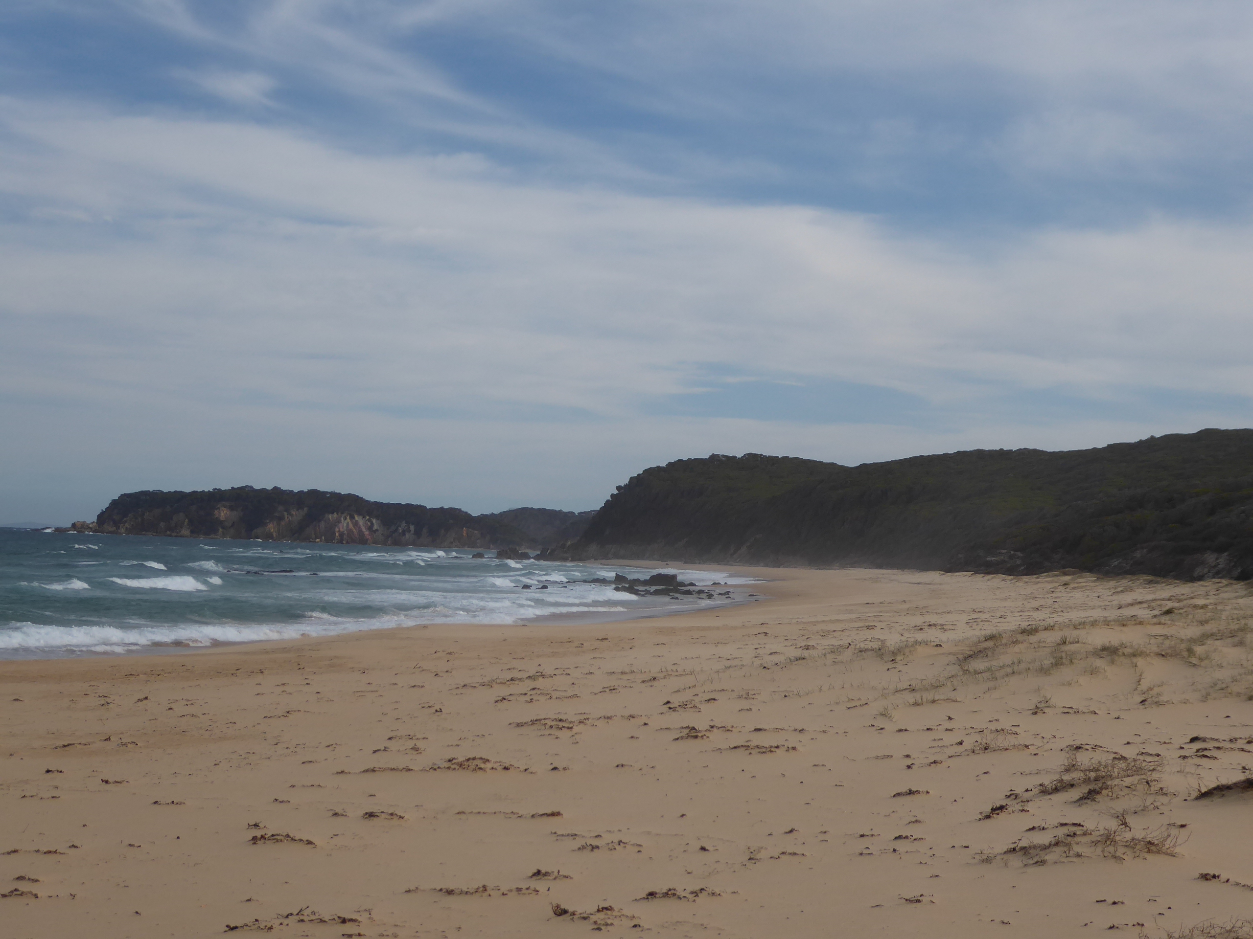
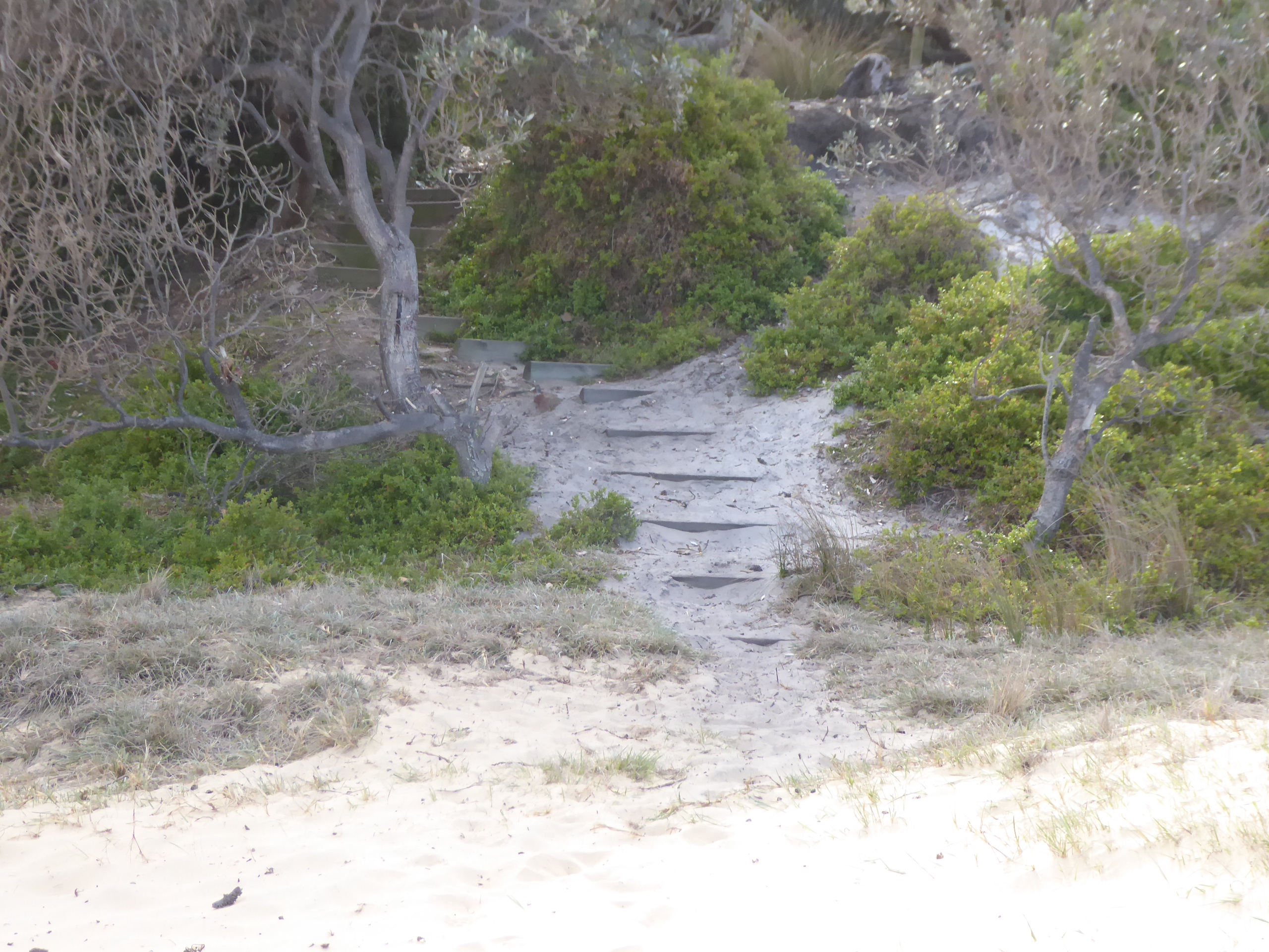
We continued on our way South, starting to keep a lookout for somewhere to stay tonight, and eventually made our way down the 4km steep dirt road into Mimosa Rocks NP, where we found quite a few nice flat camp spots at Gillards camp, separated by patches of native trees. The beach was very near , and turned out to be very noisy all night.
The fee ($24) was supposed to be collected by someone, but they never turned up to collect it, so we suspect that this is only the case in the busy times of year.
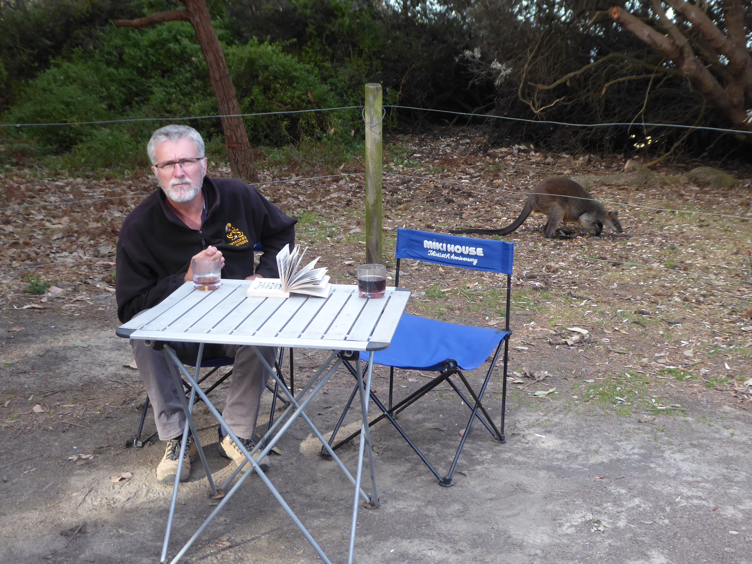
The beach was empty and was the only place to get phone reception. A few wallabies cruised around the campground, unphased by the people camping, and we heard quite a few birds, but couldn’t see most of them, let alone identify them.
This was our first bush camp for quite a while, and we enjoyed a soothing scotch, a quick heated up meal, and a bit of quiet crossword solving, before dropping into our swags just after dark.
Today we decided to take a trip to the south after we had another sleep in, followed by delicious eggs and bacon. Lyn and Wendy had already gone on their way when we surfaced.
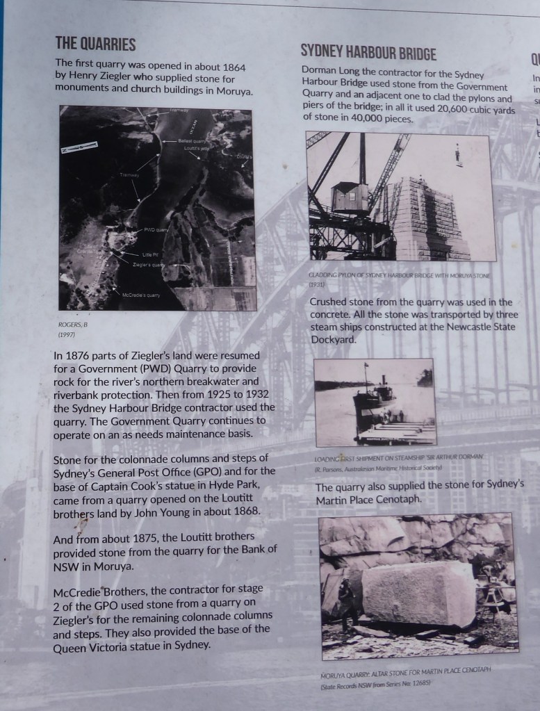
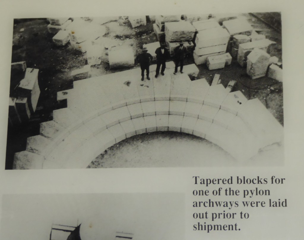
We stopped at the old quarry site, where the stone for the Sydney Harbour Bridge was quarried, cut and transported from.
We took a bit of a drive around the town of Moruya before heading back across the river to the local pub to eat cheap chicken tacos ($10 each)
We drove out to Moruya heads , where we wandered to find a cache before standing out in the blustery wind looking out from the excellent lookout at the wide view. We were able to spot dolphins cruising along the coastline and seals playing in the waves on the rocks far below us.
We had a bit of a walk on the South Heads beach (by the Surf Lifesaving Club) and then drove back to beach looking back over Quandolo Island near the entrance to the Moruya River.
At Shelley Beach there was a platform with access to the beach, and deck chairs lined up on the platform!
Everywhere (like here) that looked like great camping (grassy flat area, toilets, beach, BBQ) was signed “No Camping” – which was a bit sad.
We drove towards Congo Point and entered the park boundary to find the track rapidly becoming rutted and more difficult to navigate – with water lying in puddles. As we continued we came across a couple of blokes bogged in one of the deeper holes and about to call a tow truck. Were they ever happy to see us! We pulled them out with our snatch strap, but we let them do the attaching in the puddle.
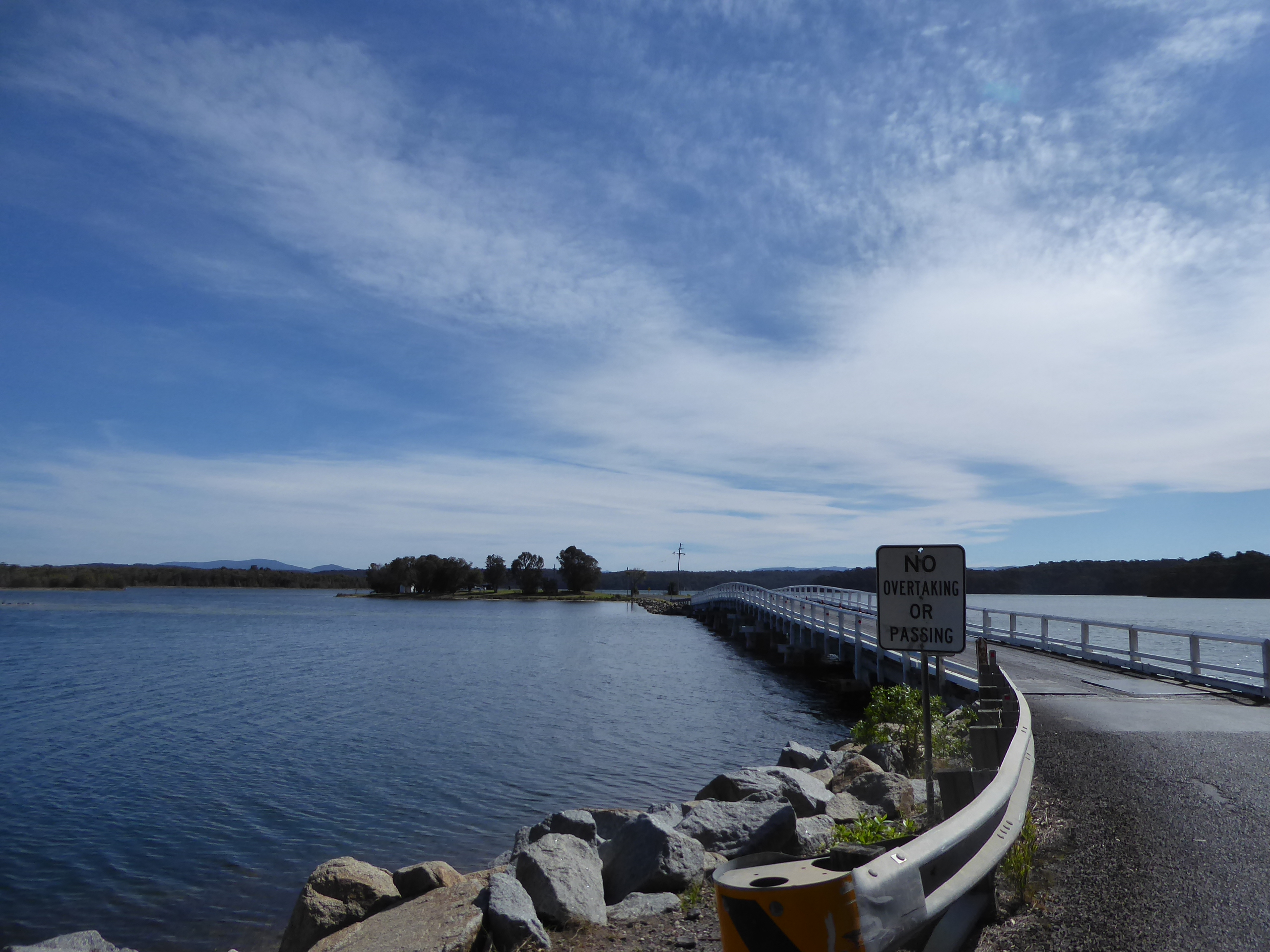
We decided not to keep on following that track on their advice, and walked down to Pedro Point (possibly a place for nude bathing??) near where we left the park, and then headed homewards via Brulee again. We used the bridge to Mossy Head.
Tomorrow we leave, so we need to shop a bit and prepare for some possible days of camping.
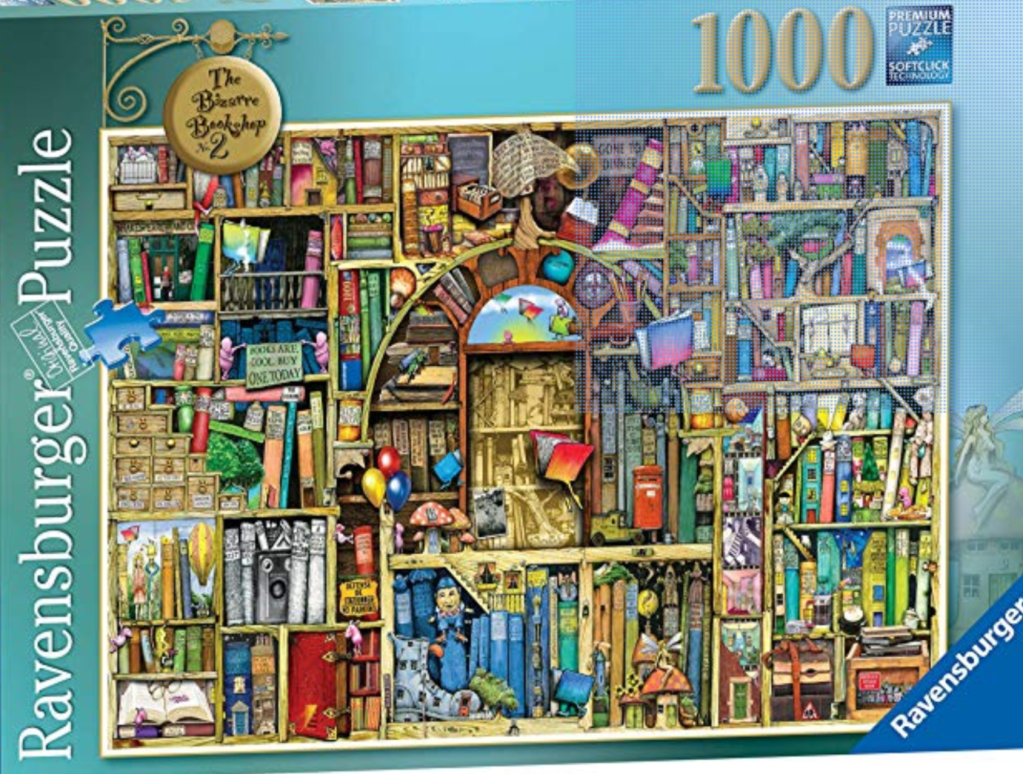
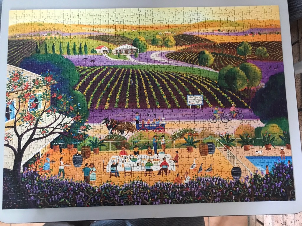
Somewhere in there we managed to finish another complicated puzzle that looked like the picture below.
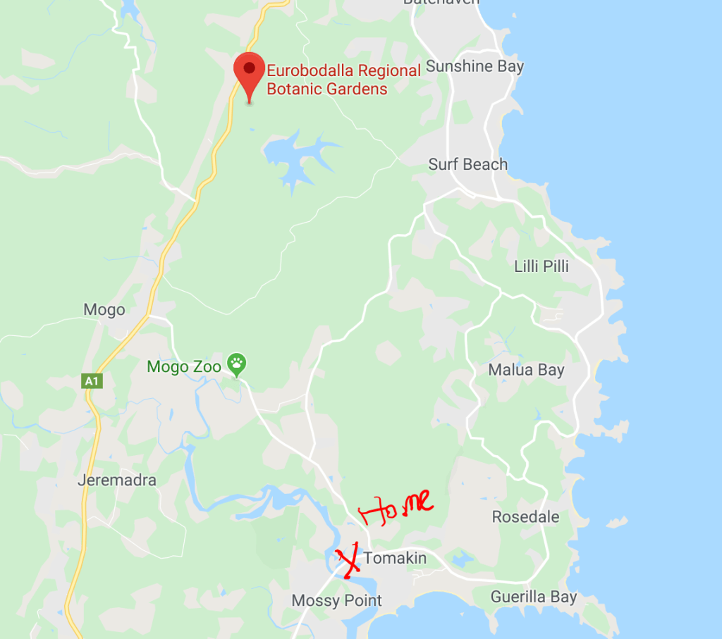
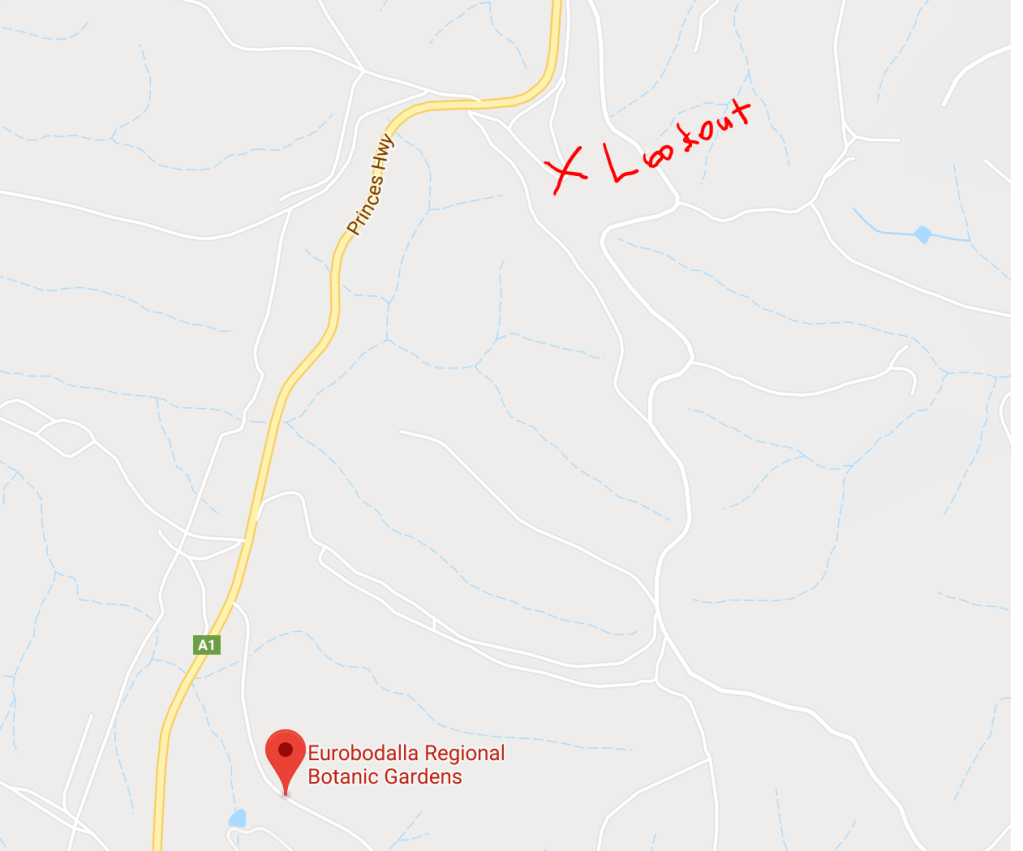
Today we visited the botanic gardens not too far away and did a bit of exploring as well.
We started the day with a long sleep in before heading for the gardens.
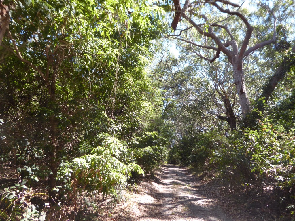
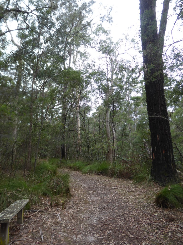
After eating a very late lunch at the lovely cafe in the Botanic Gardens we set out carefully to do one of the walks, knowing that we had limited time, but unwilling to push Trevor’s walking too much , given the pain in his heel.
We enjoyed the educational information and attempting to identify the plants the signs spoke of. We even found a geocache!
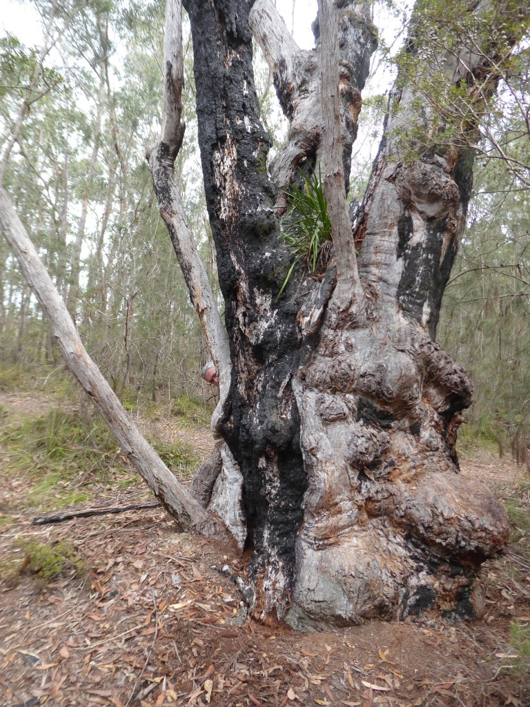
This is where we found the geocache. Fantastic old tree. – But I found something better than a geocache.
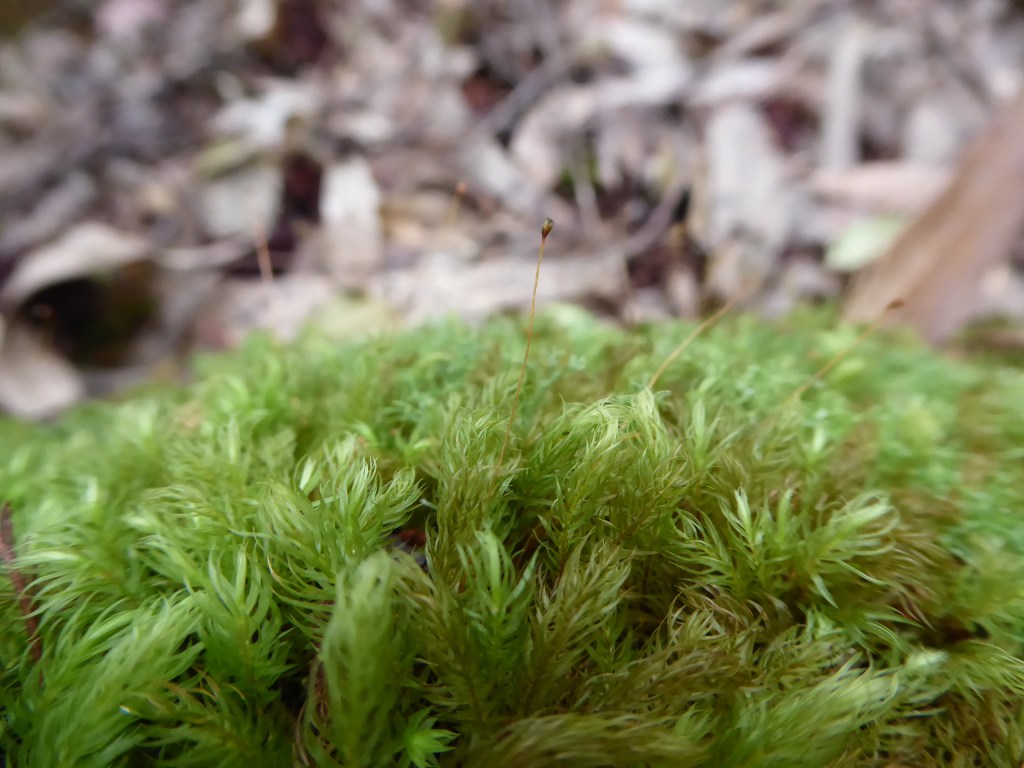
We were able to identify the tiny seed pods waving above the moss
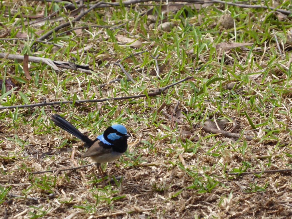
We enjoyed watching a Superb Blue Wren hopping about as well.
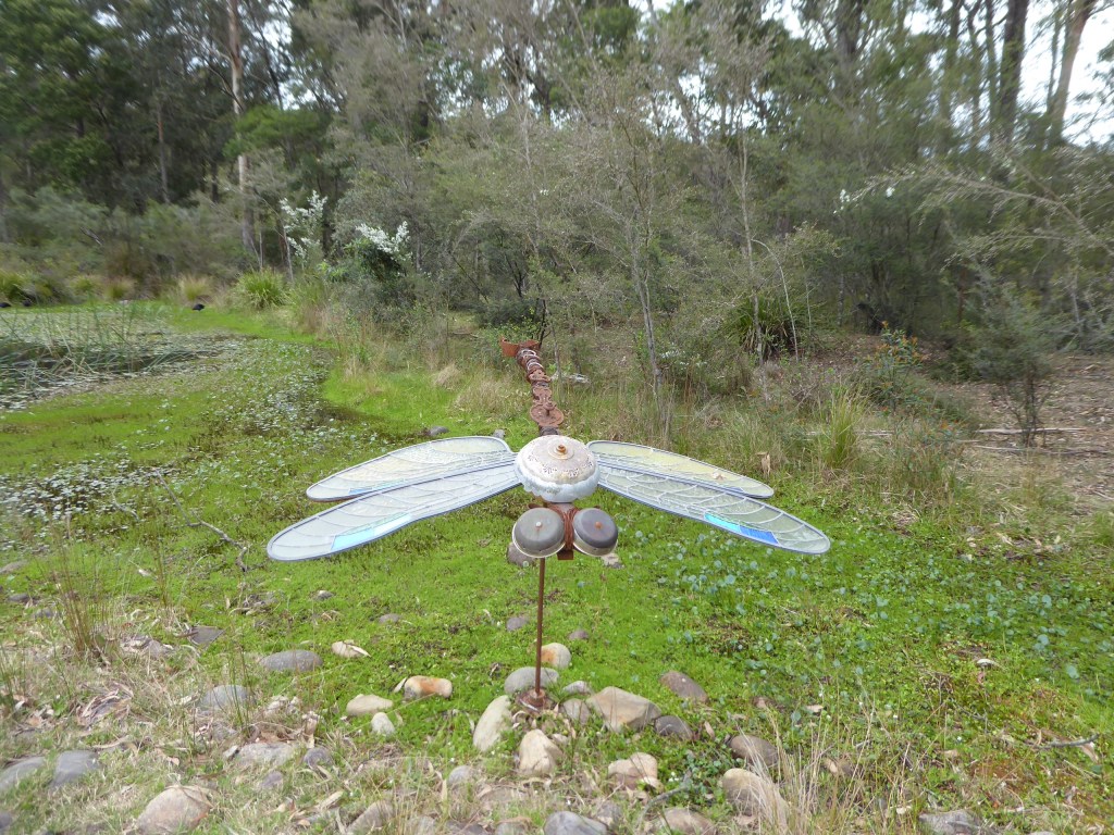
There were some lovely sculptures around. This one quite took my fancy.
I could have happily done a lot more walking here (maybe spent a couple of full days) as there were a good number of tracks which follow different types of terrain and climate. They even have a wheelchair friendly walk and an orchid house.
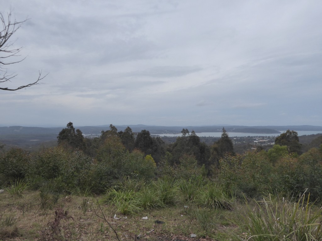
We took a detour towards Batemans Bay, to Round Hill Lookout that Trevor had spotted on the map. Apparently we had been here a few years ago, but neither of us remembered it – we only knew because we had already found the cache which is hidden there! Nice view over Batemans Bay.
As I write up the record of this trip from my notes more than 2 months later, I’m very glad of the photos and notes that I took on the day, as the memories fade so quickly. Hence this is likely to be briefer than it would have been on the day of the happenings.
On this day we decided to meander further up the coast to Batemans Bay and have a bit of a look around.
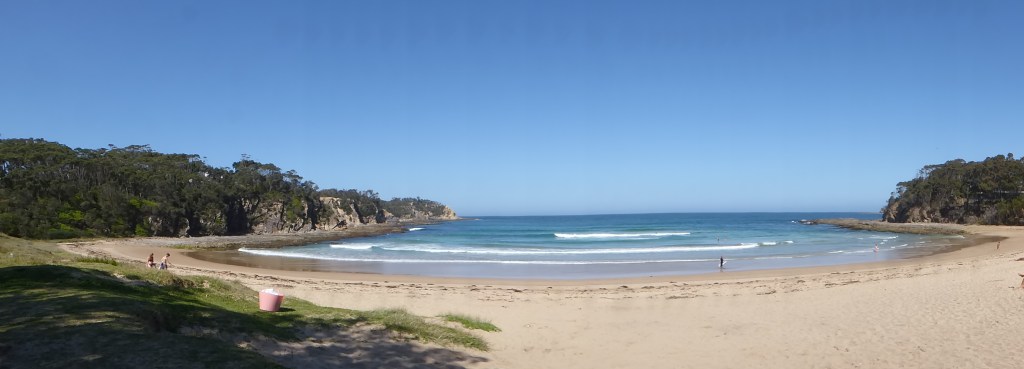
Our first stop was Rosedale beach. We found a small opening along the side of a dead end road and realised that this was the way to the beach. Following the narrow path between the trees
and ended up on a lovely beach . The houses off of the road we had come along had stunning views out across the water.
It really was a stunning position.
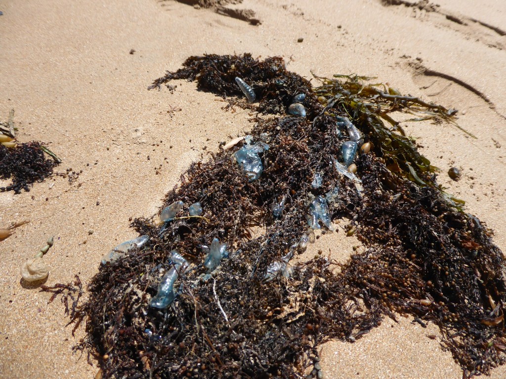
There were lots more of those blue jelly fish things wrapped up in the seaweed here too.
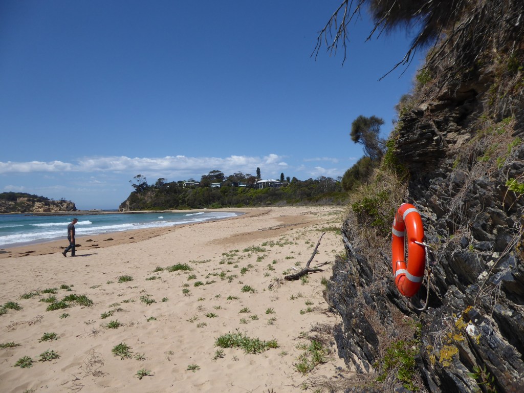
We whiled a bit of time beachcombing and admiring the fantastic beach before we decided to head on our way. I don’t think I’ve ever seen life bouys attached like this on a beach before. I think there must a a bit of a rip here. (as there is on many of these beaches, according to the signs)
Back up the path to the car. You can see how we almost missed that path.
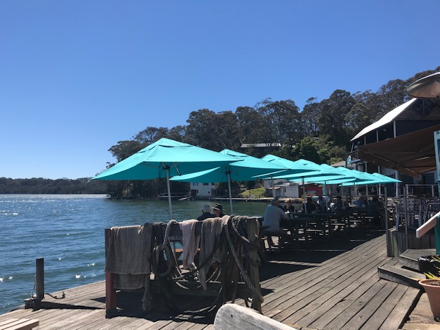
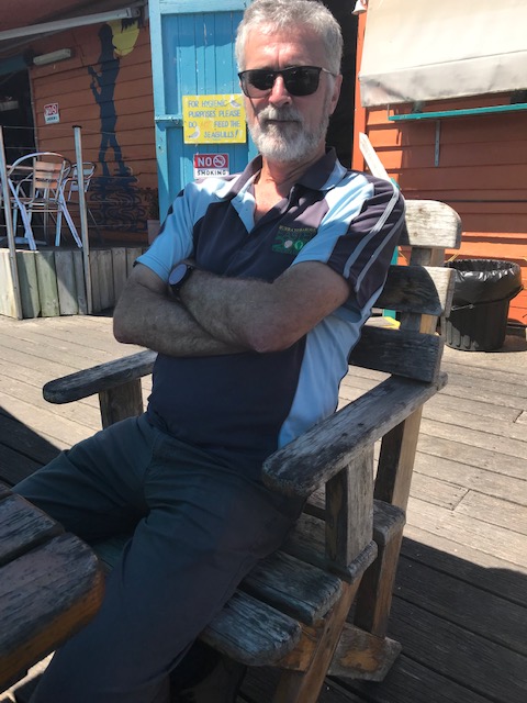
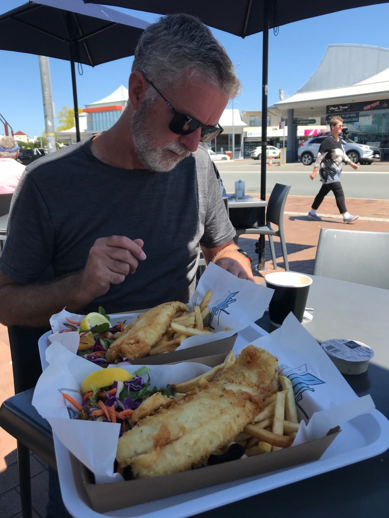
After negotiating ourselves around the numerous roadworks we finally came to a lovely little boathouse cafe at Batemans Bay right on the wharf where we bought fish and chips and lingered over their delicious crispiness as we sheltered from the sunlight under the handy umbrellas and shooed the seagulls away.
Then we slowly meandered our way homewards via every lovely beach and lookout that we could find – and there were a lot of them.
There are a plethora of lovely long, sandy beaches along the coast in this area and we can see why this is a holiday spot. It really is stunning. You obviously just need to be conscious of the rips.
I’ve no idea if we did anything else once we got home. Maybe a bit of jigsaw ???