Midweek Training at Wirra Wirra

Adrian asked if we could set courses some time this year for mid-week training. After our last disastrous effort we were a bit reticent, but said yes.

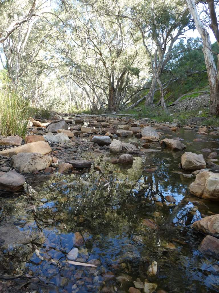
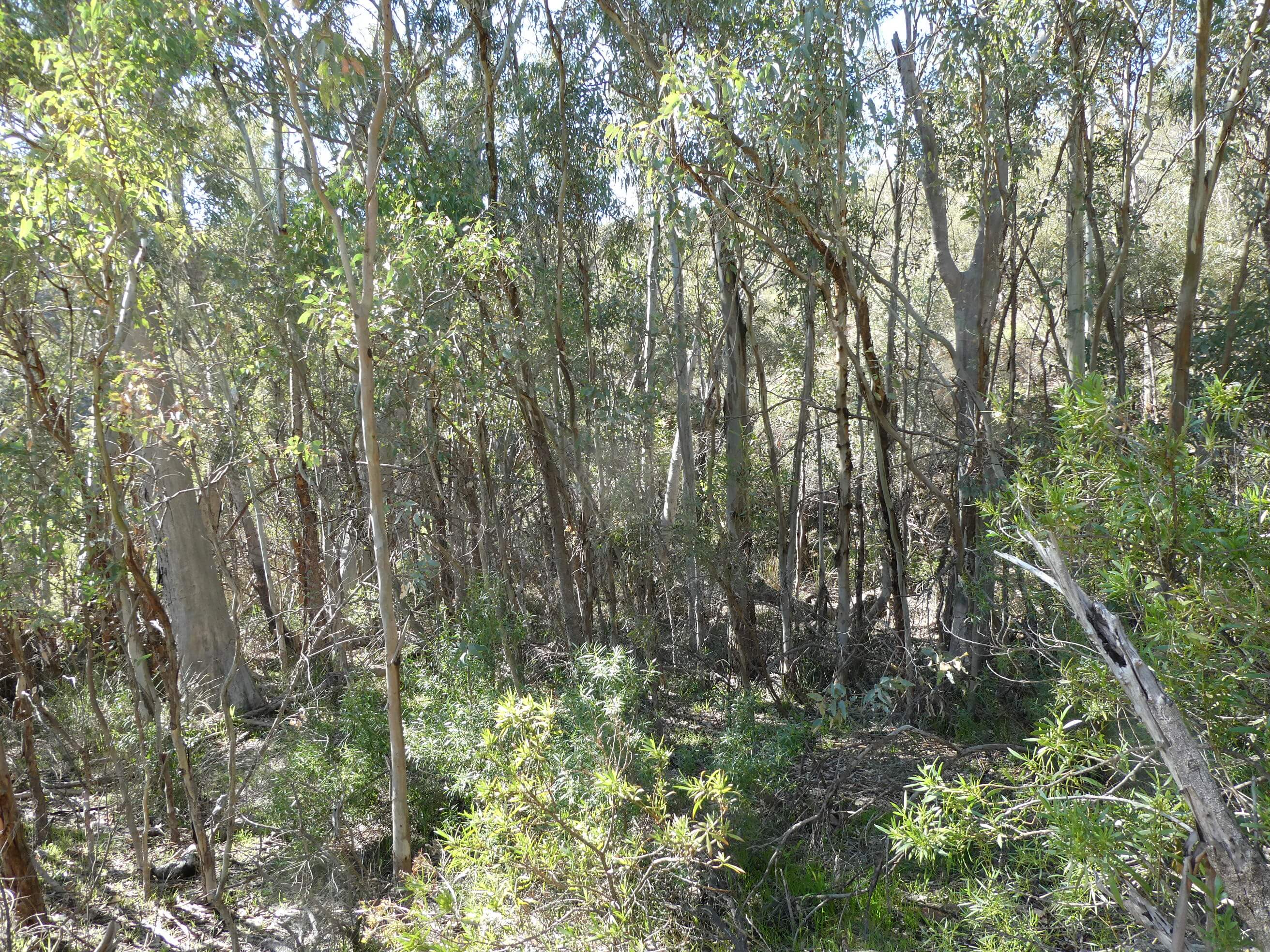
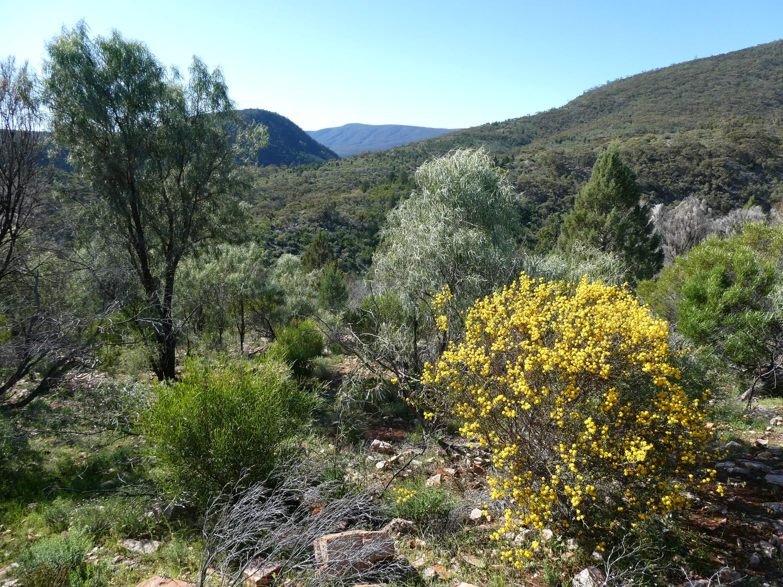
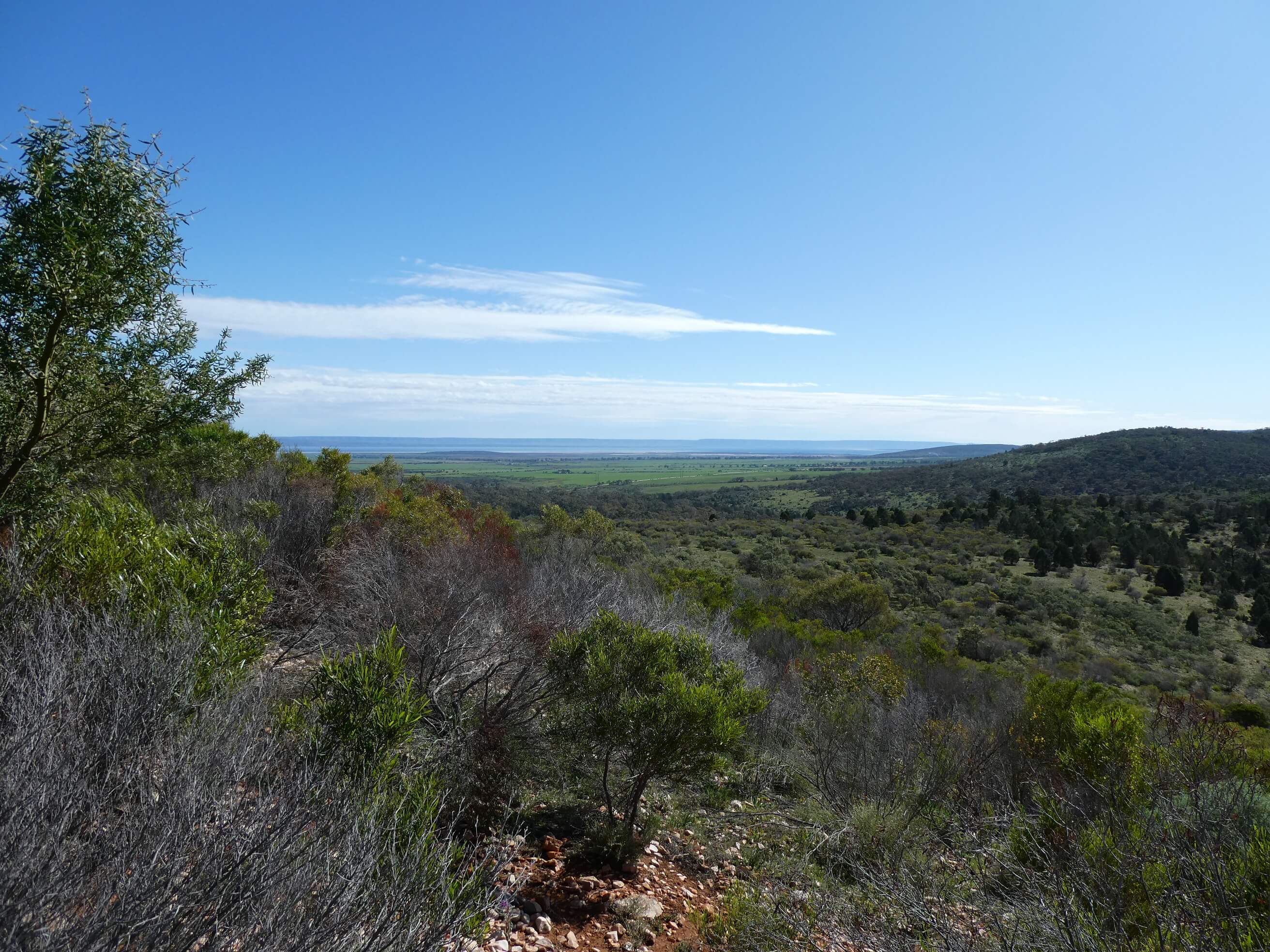
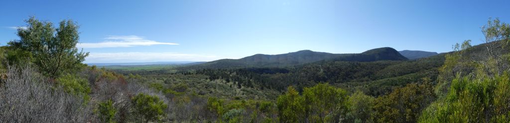
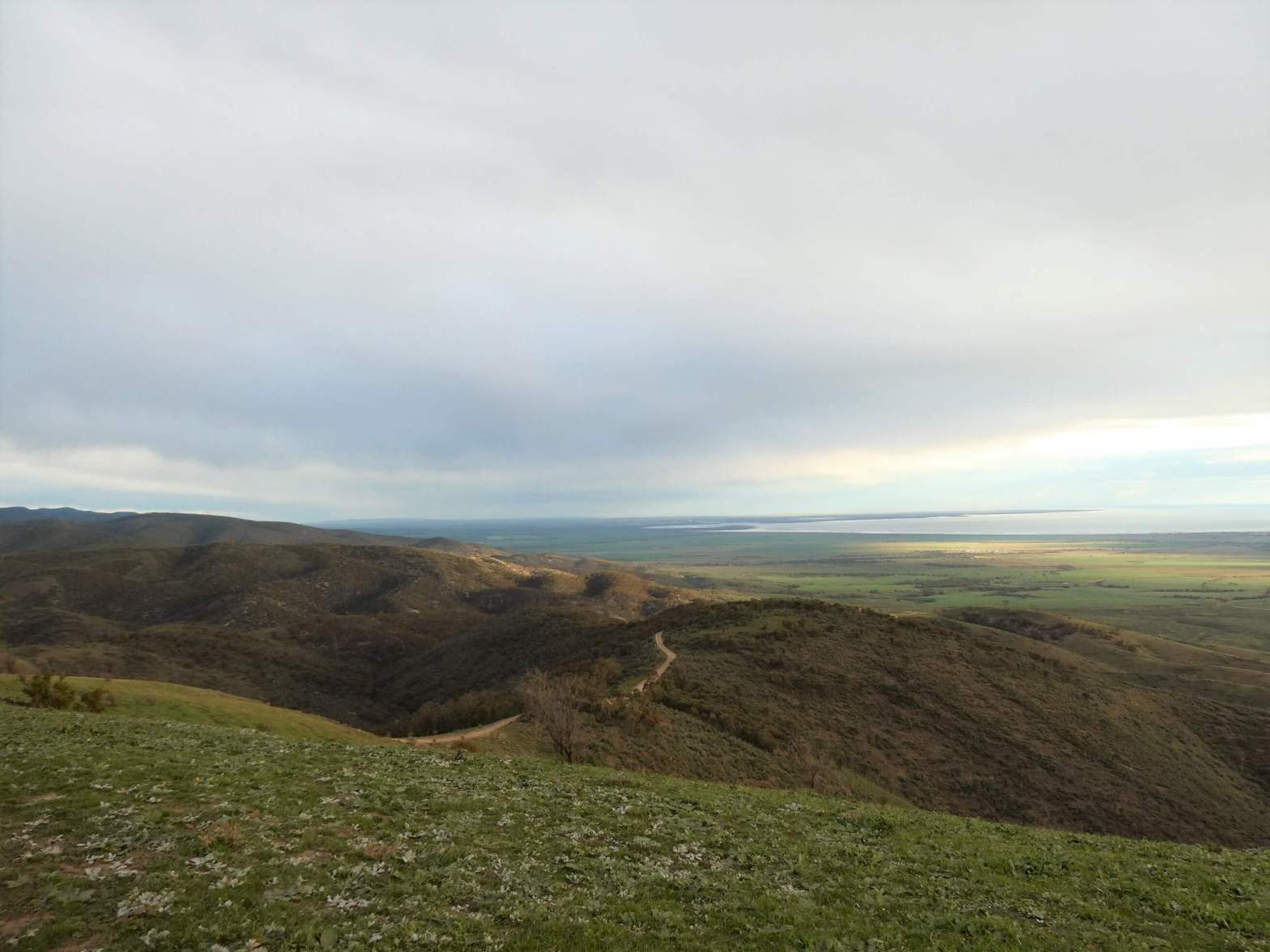
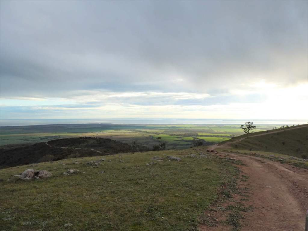
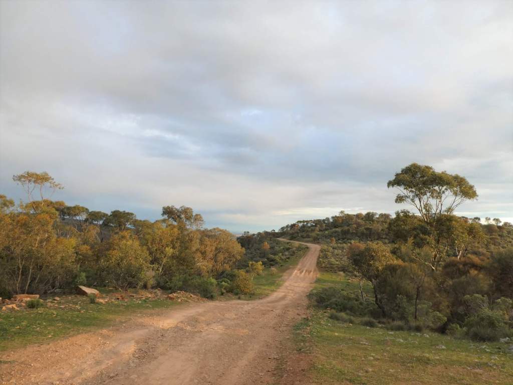
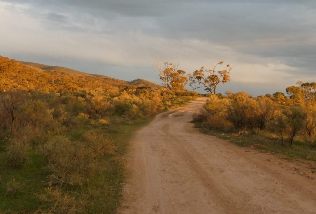
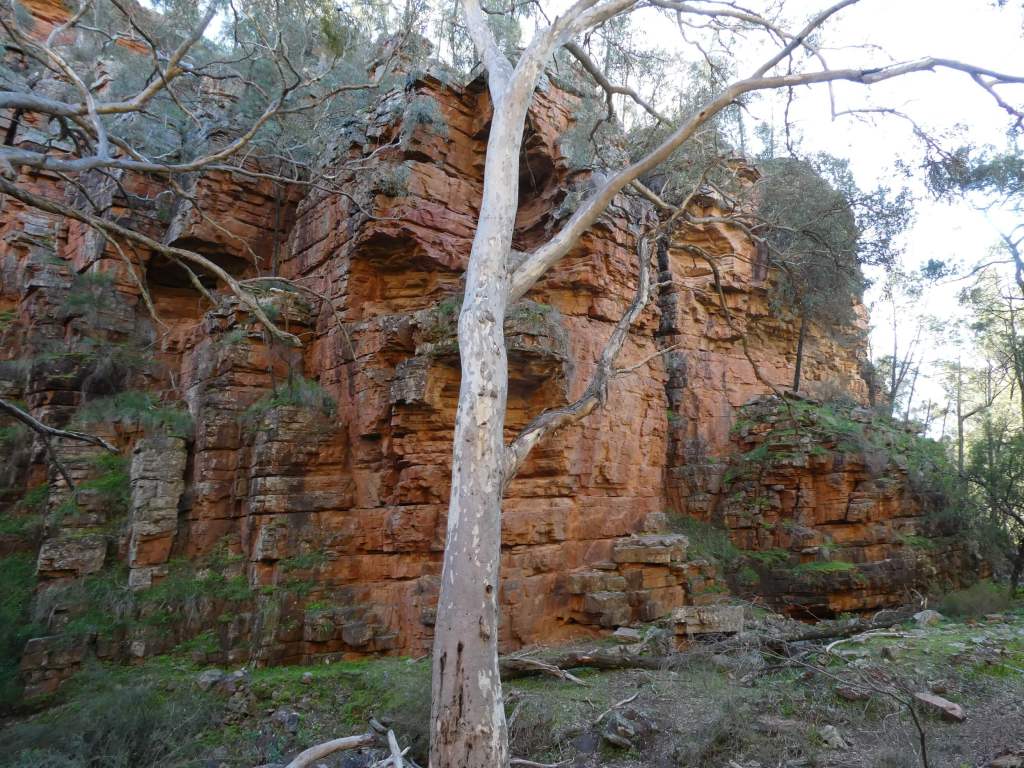
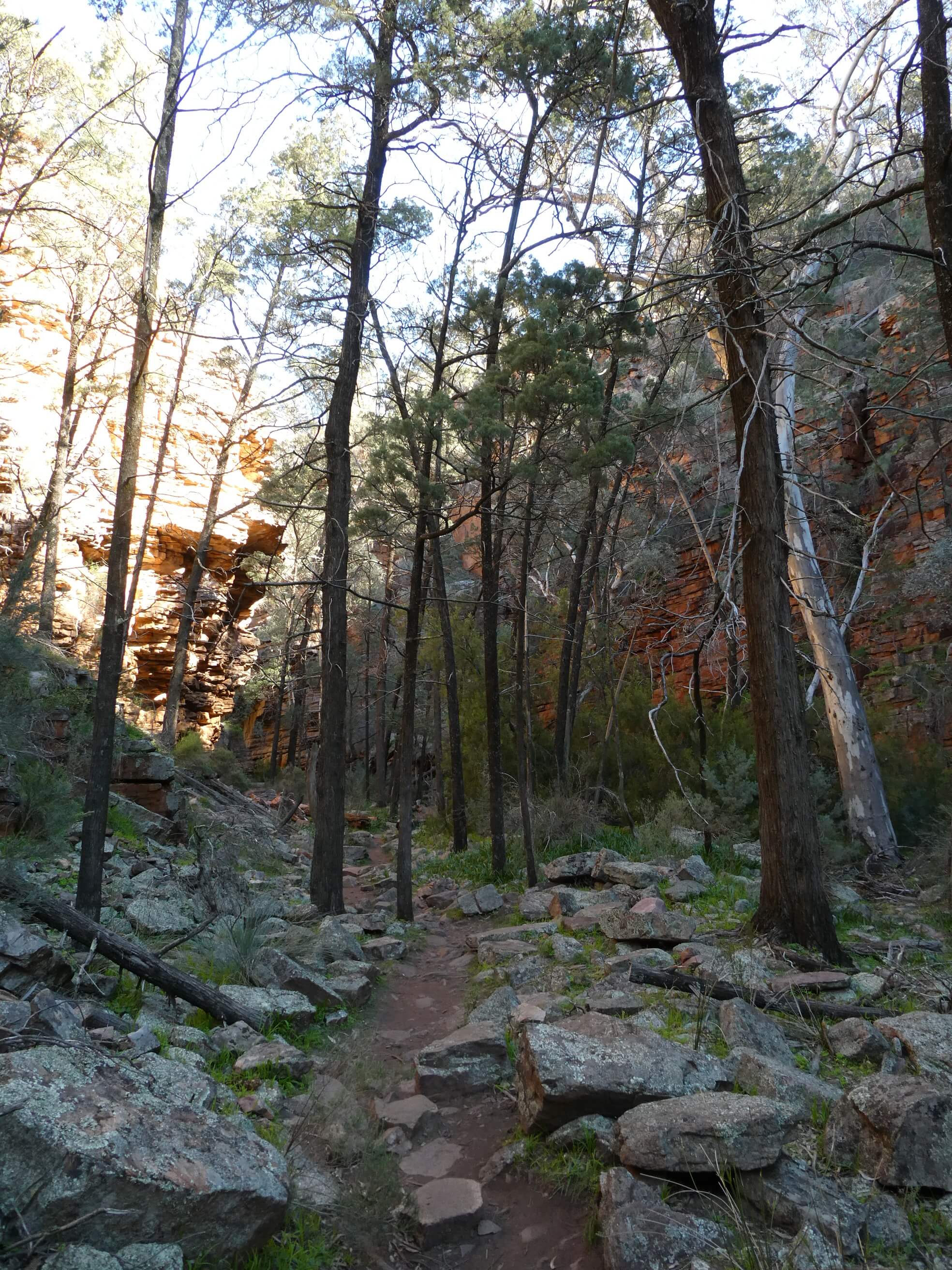
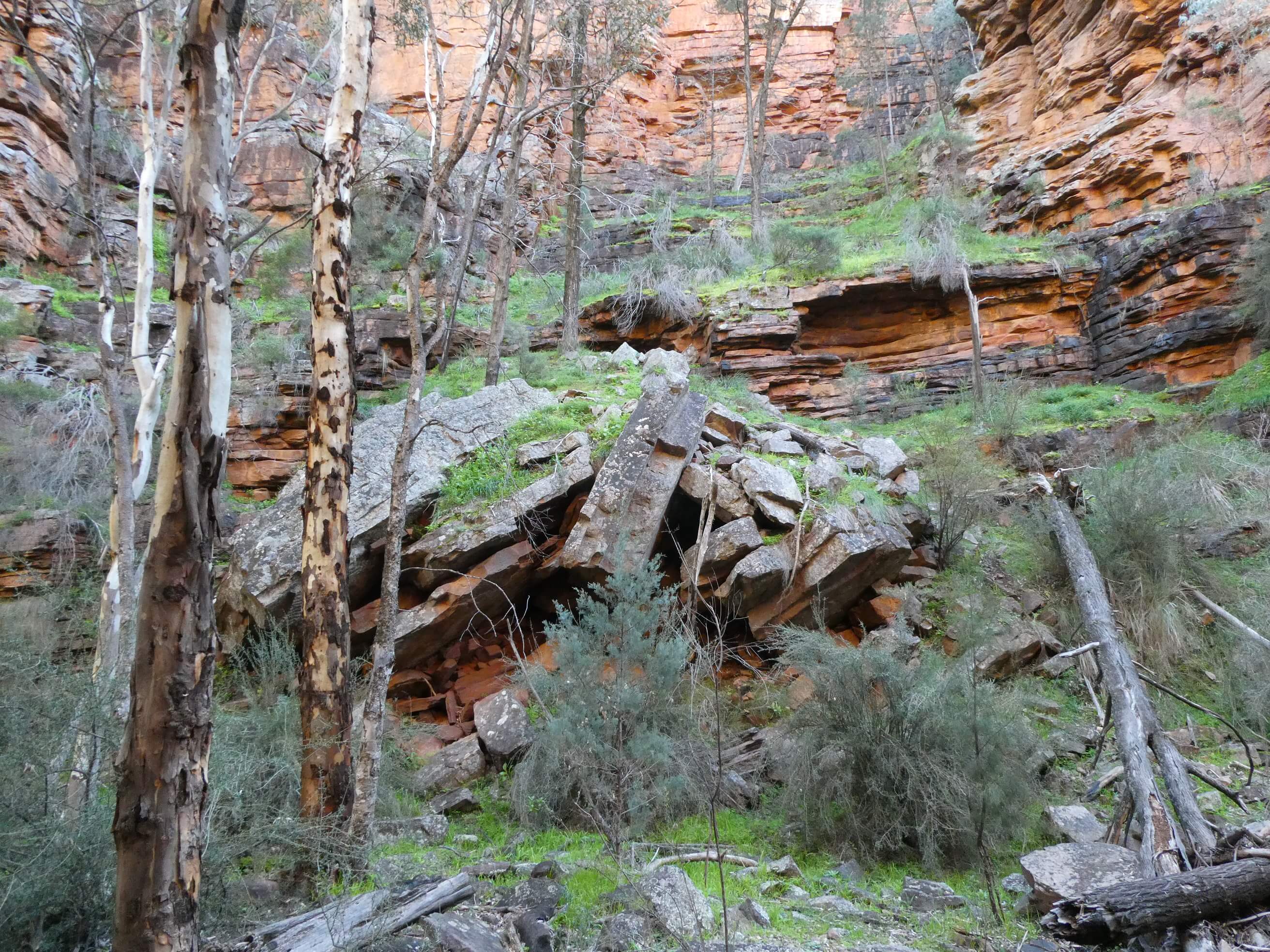
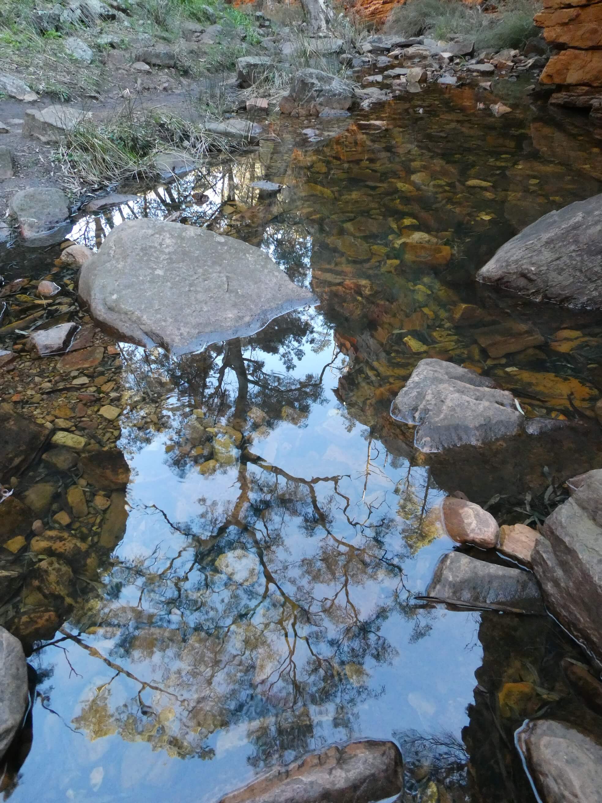
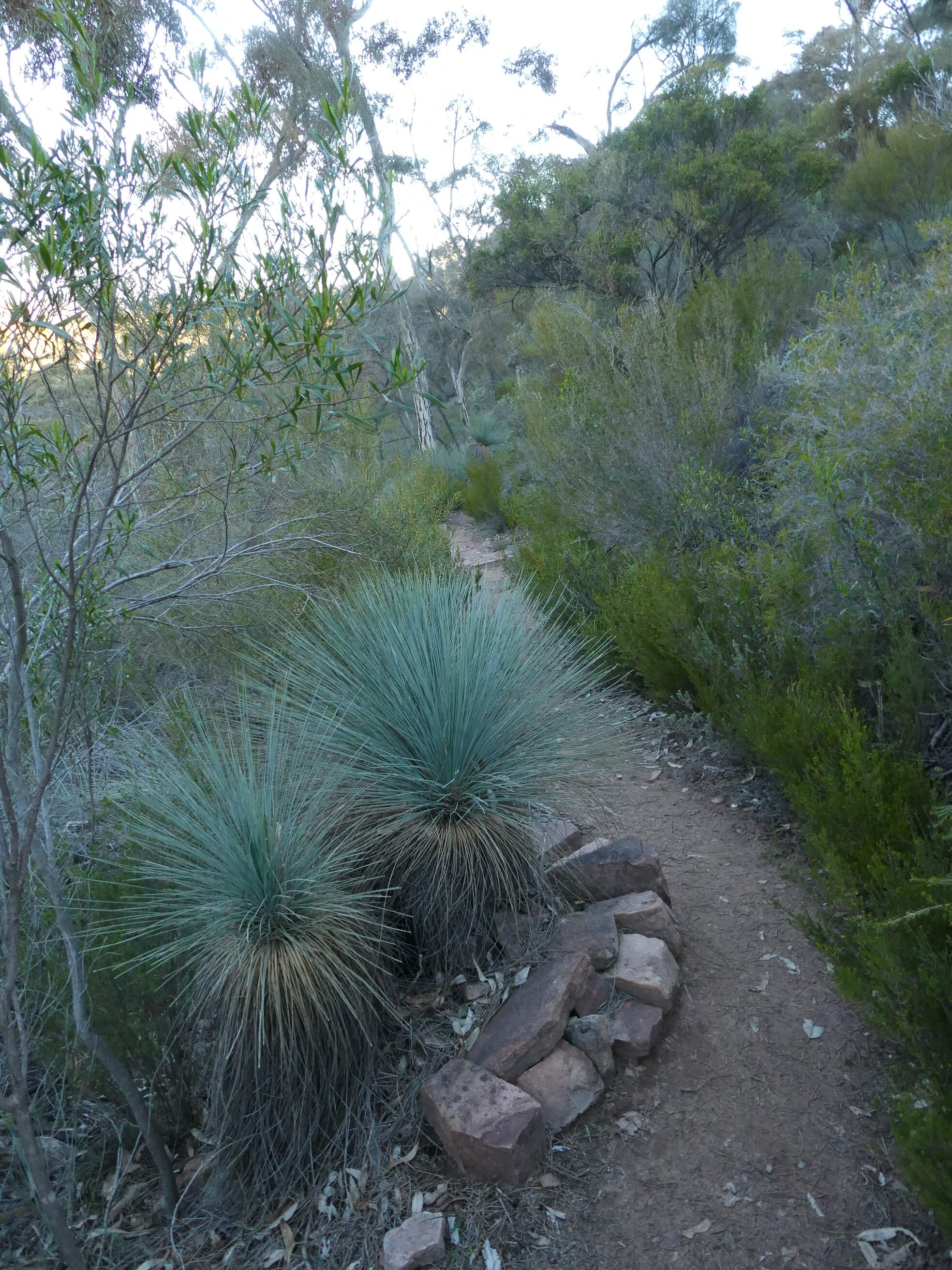
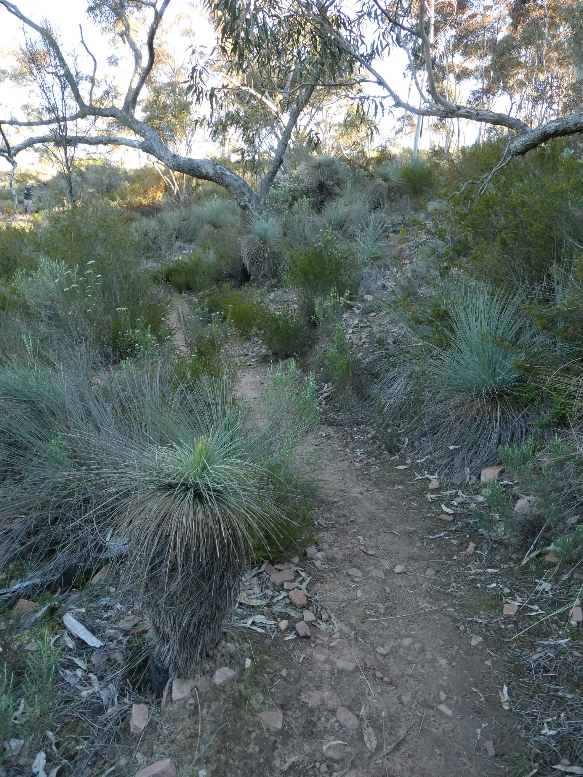
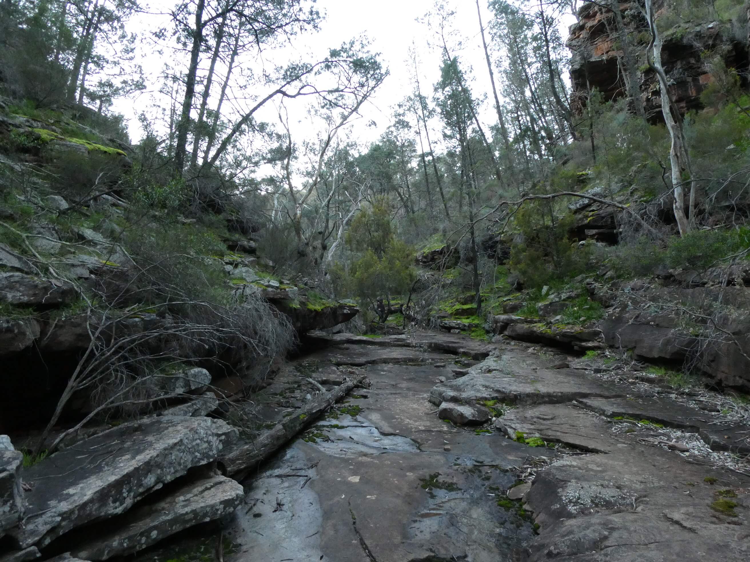
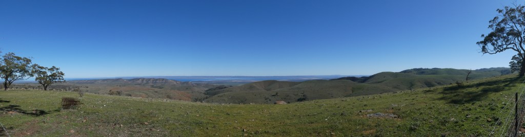
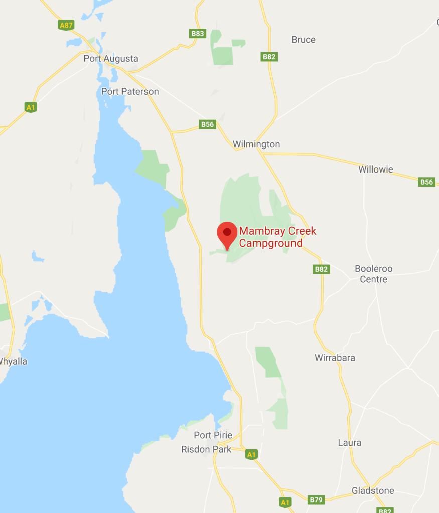
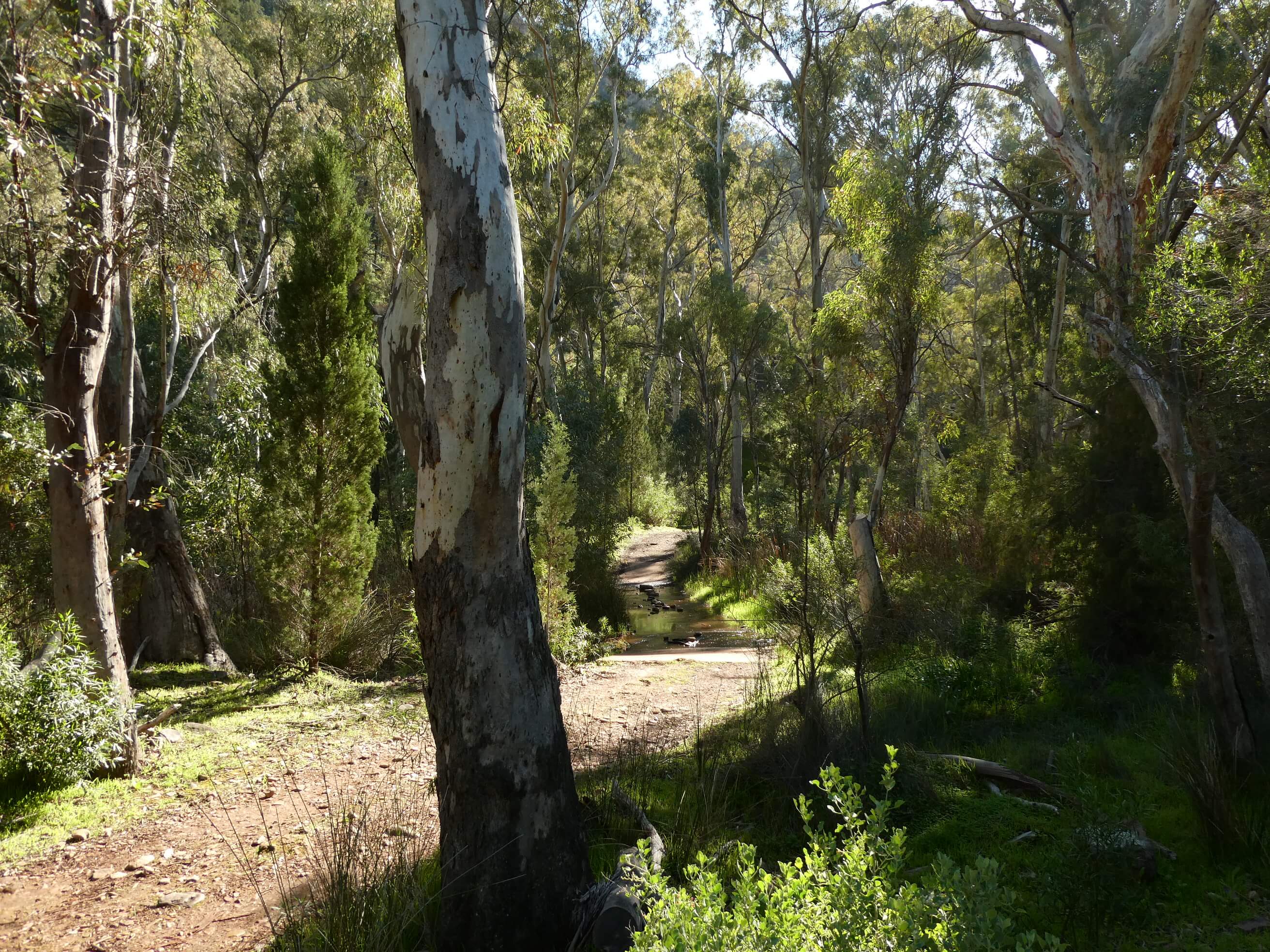
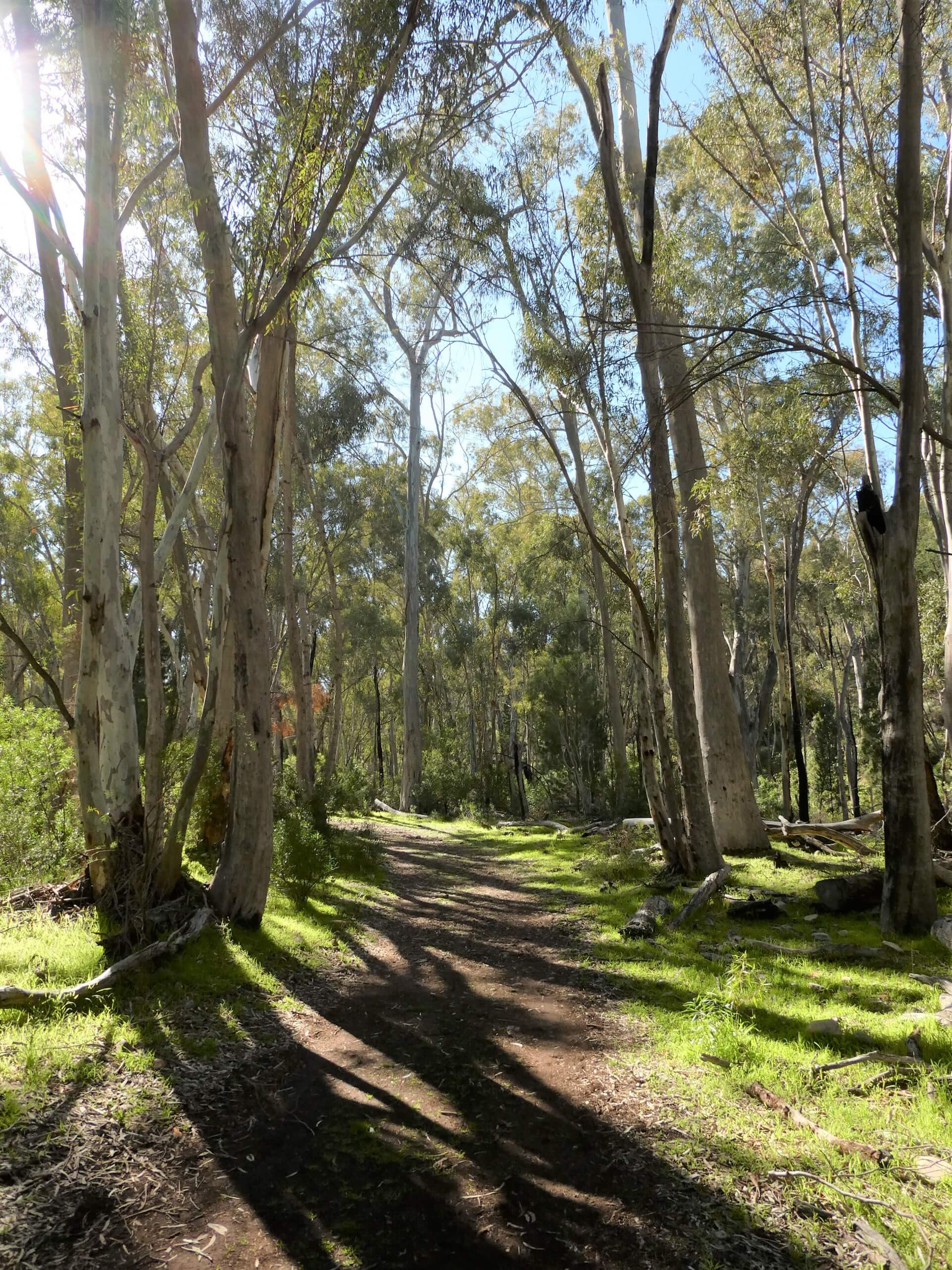
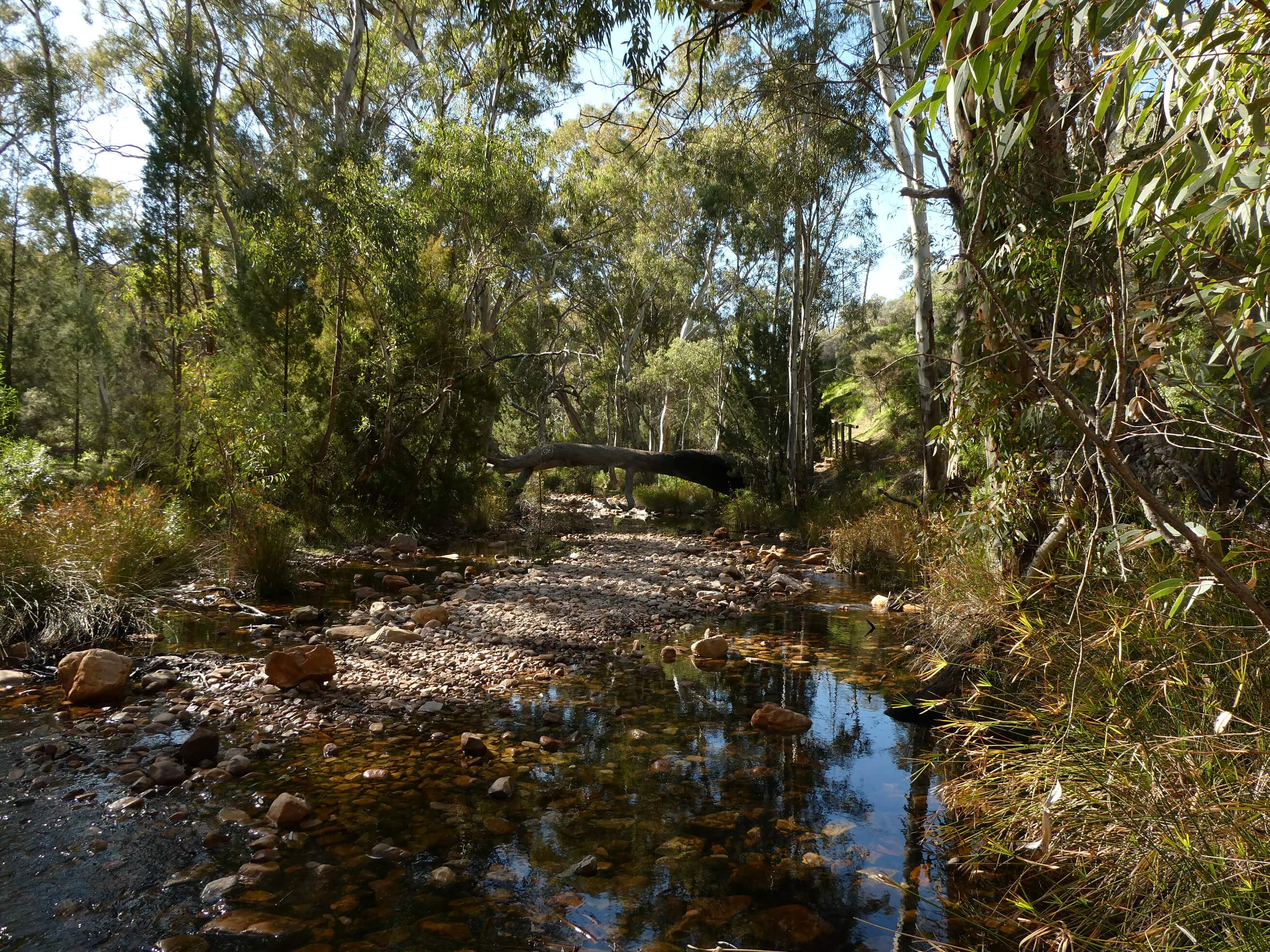
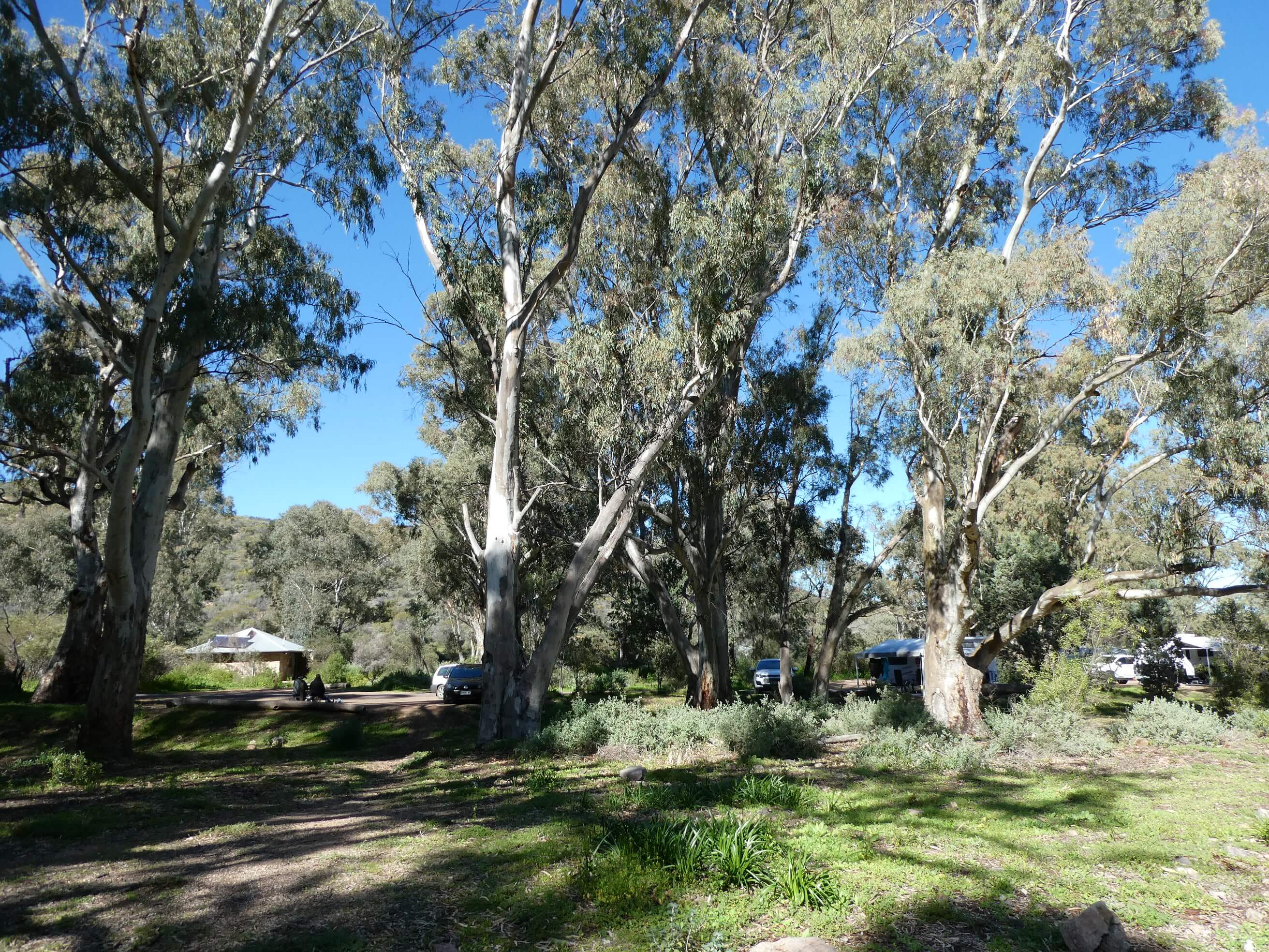
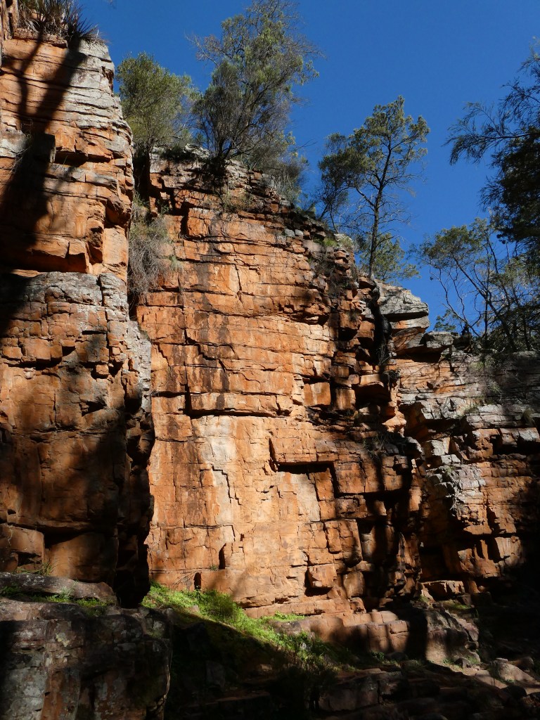
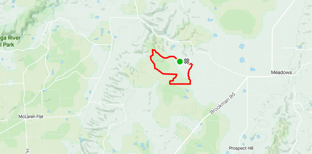
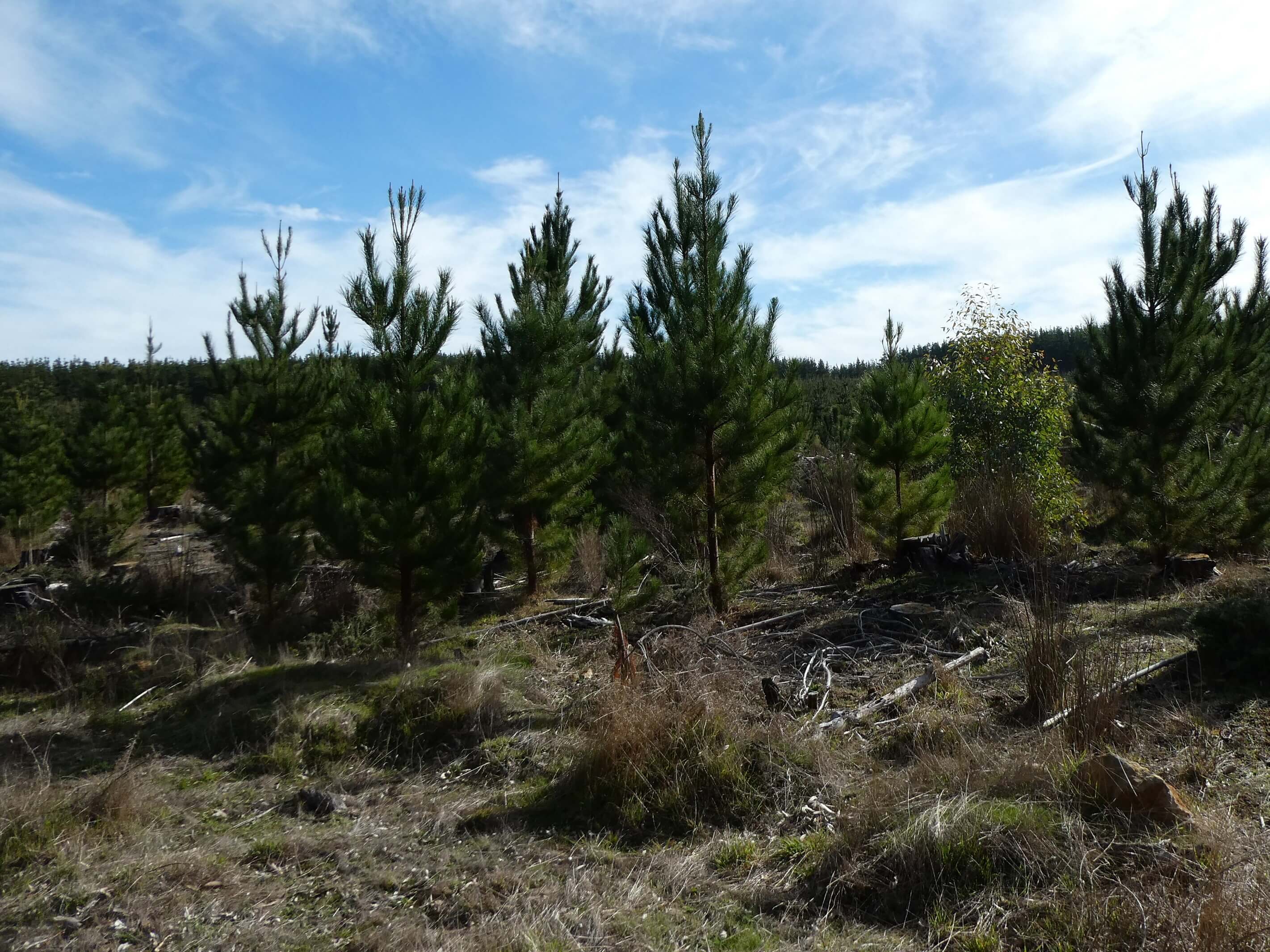
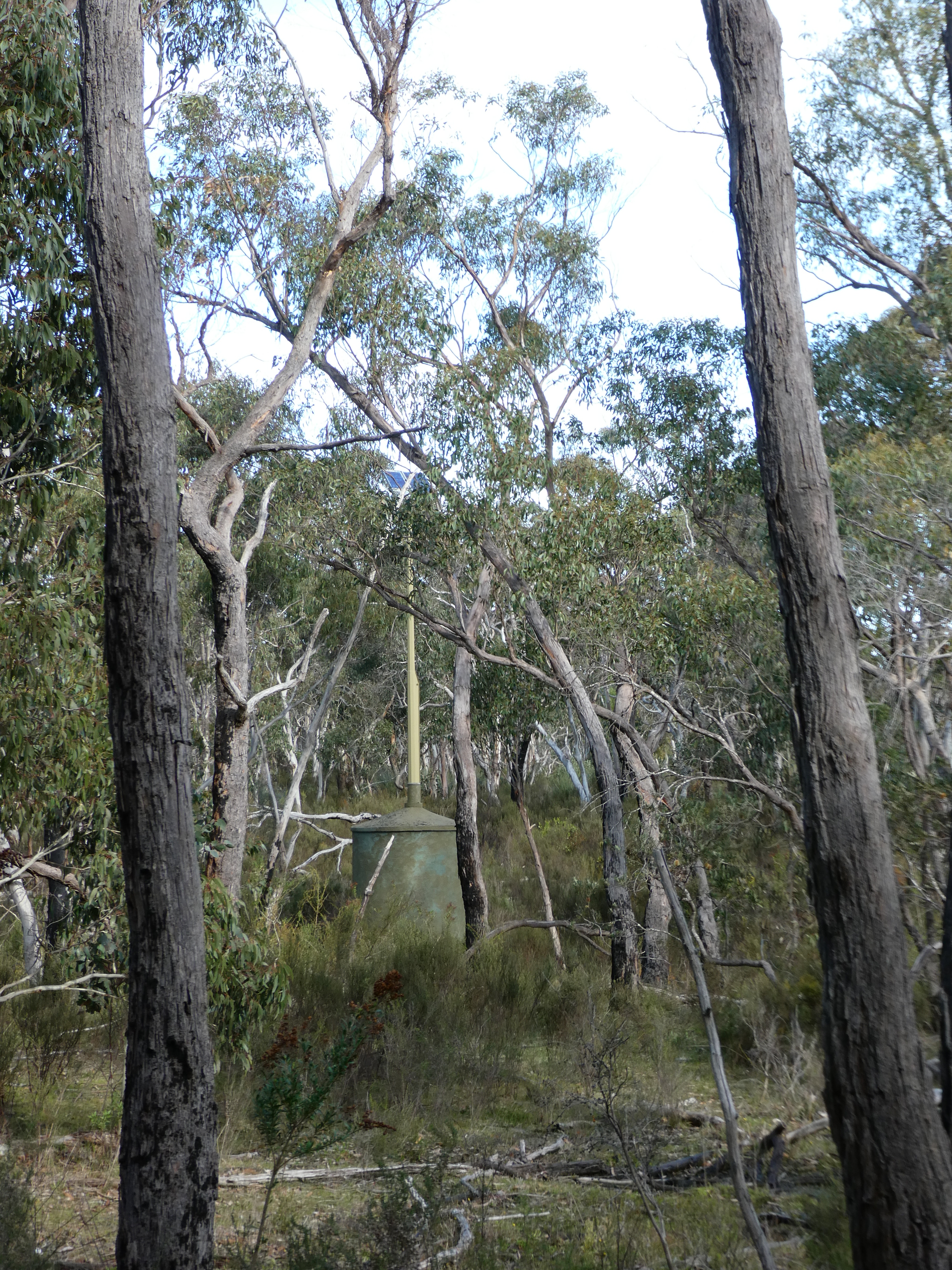
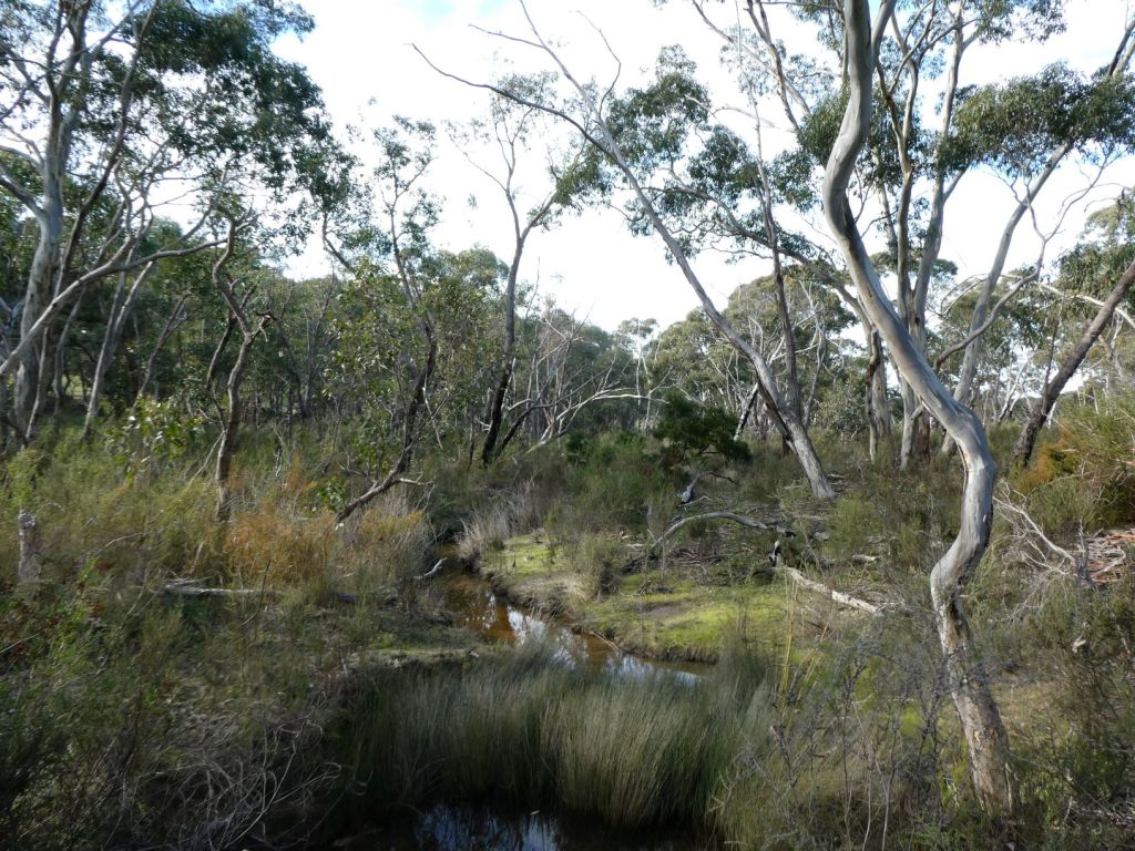
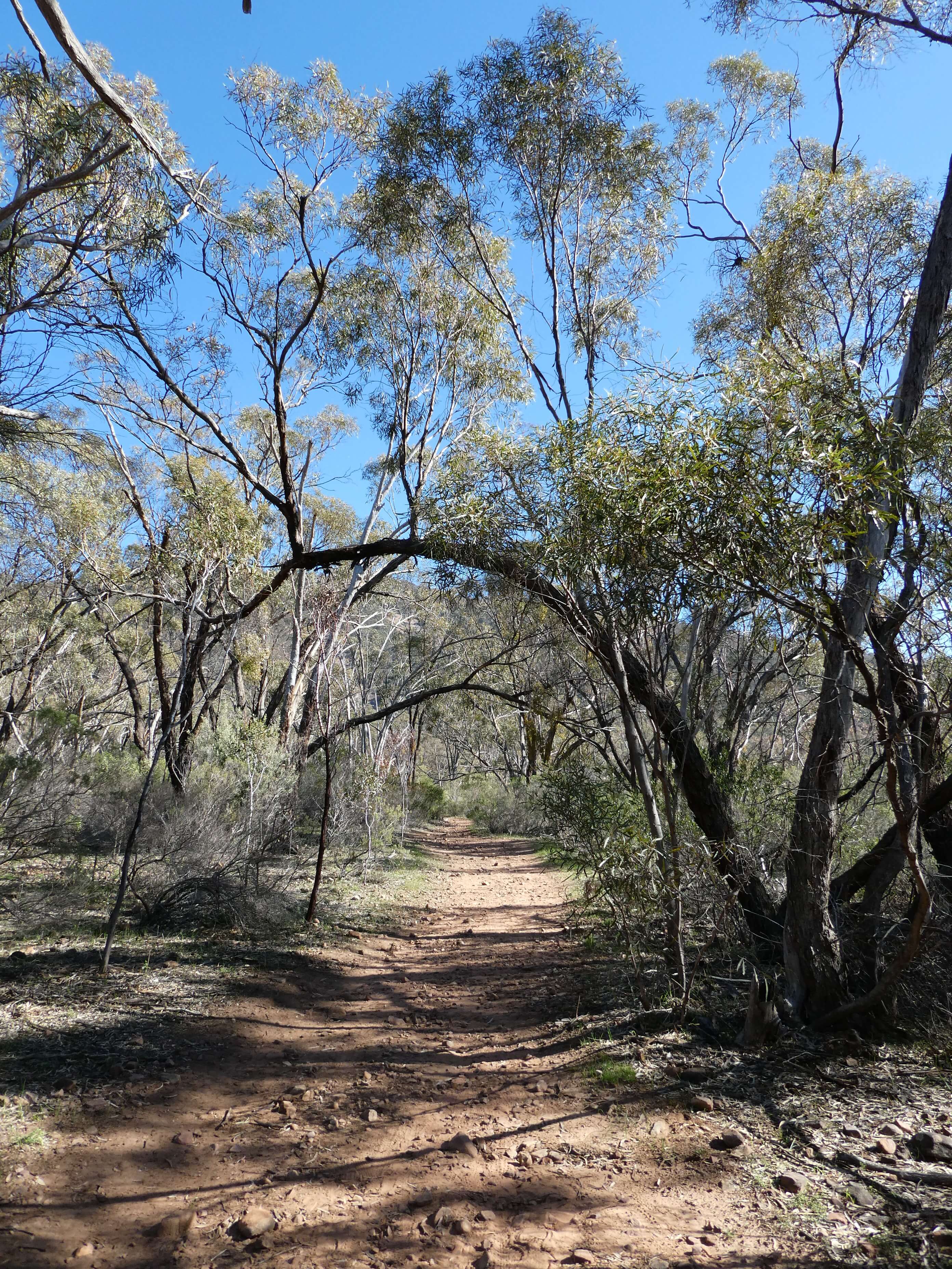
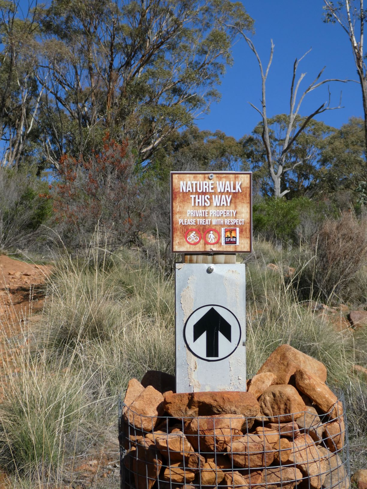
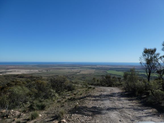
We thought that it might be good to have some training in the rocks and forest with fairly poor visibility at Wirra Wirra, so asked if we could do it there. Adrian organised the map and sent it through to us.

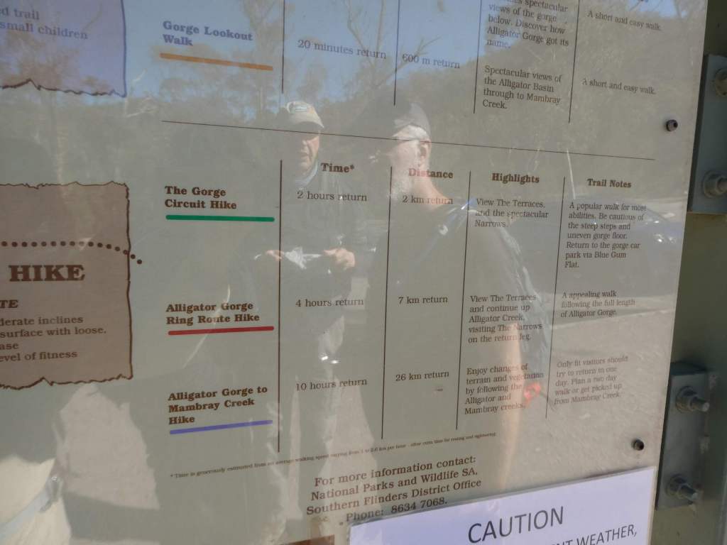
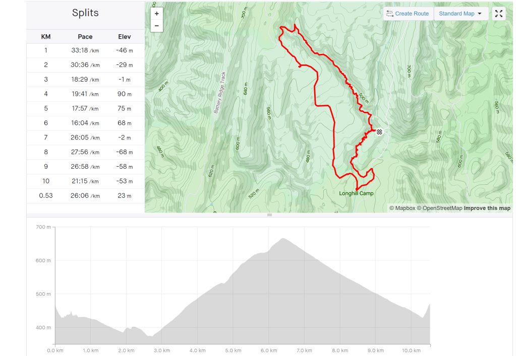
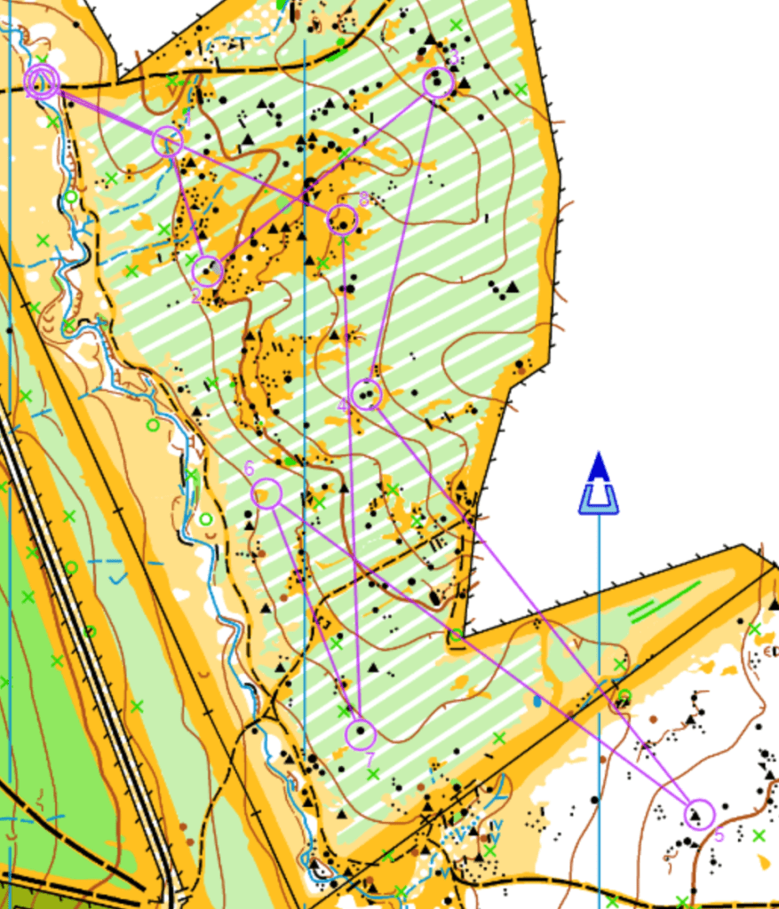
Trevor took the bull by the horns and sat down and “armchaired” (using purple pen) in mid May with the thought to make a course which could be shortened to cater for those who are getting less capable physically, but still want a hard challenge. We were also keen to use the SI timing that has been used for the school training as it is easy to use and gives split times to compare.

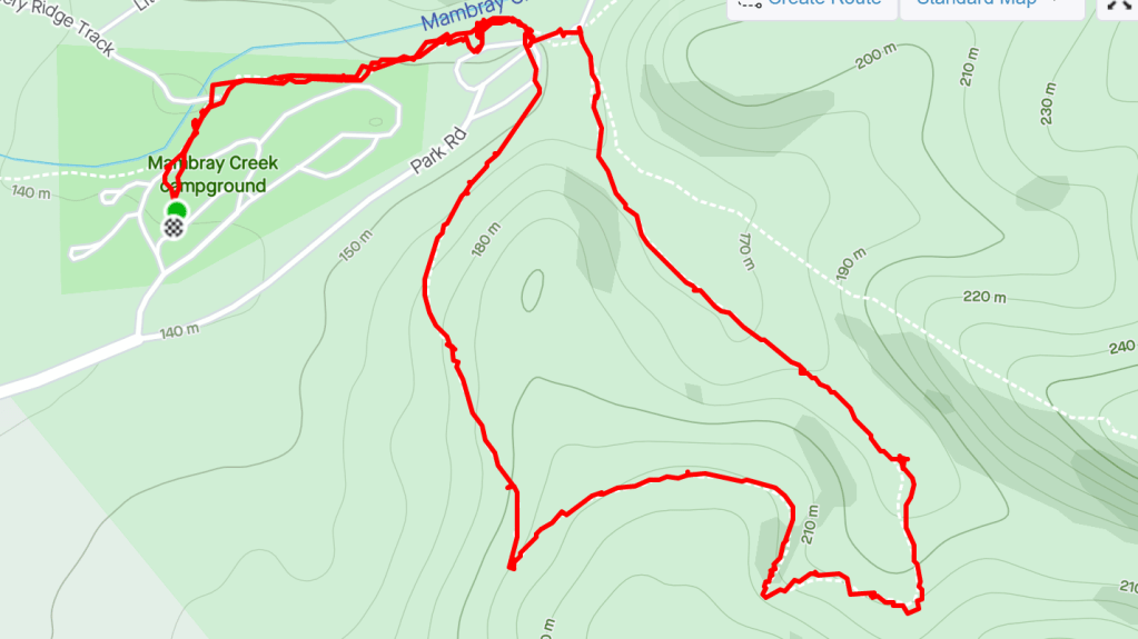
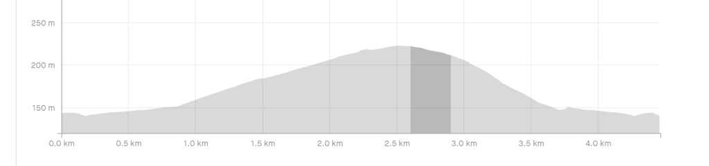
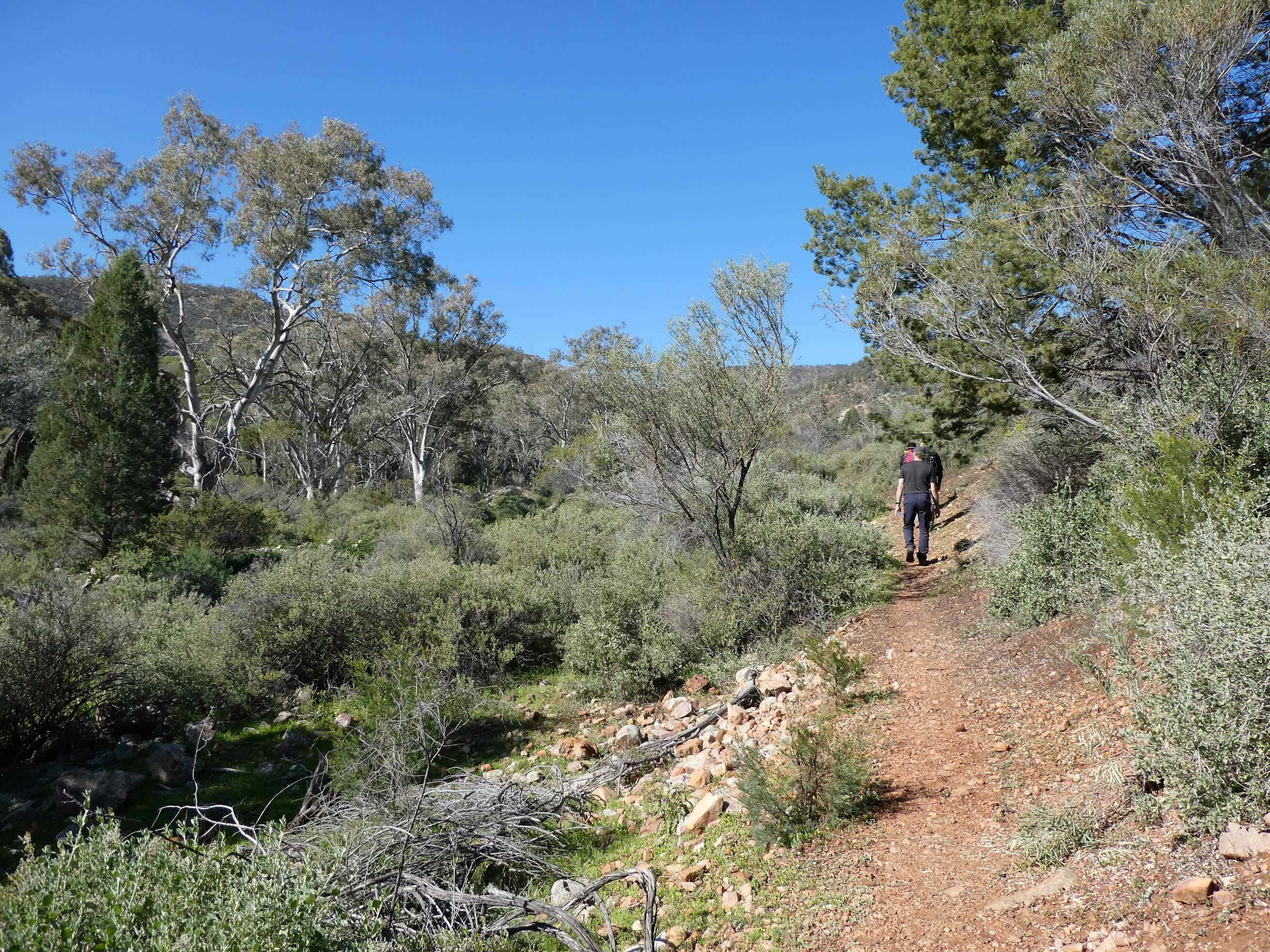
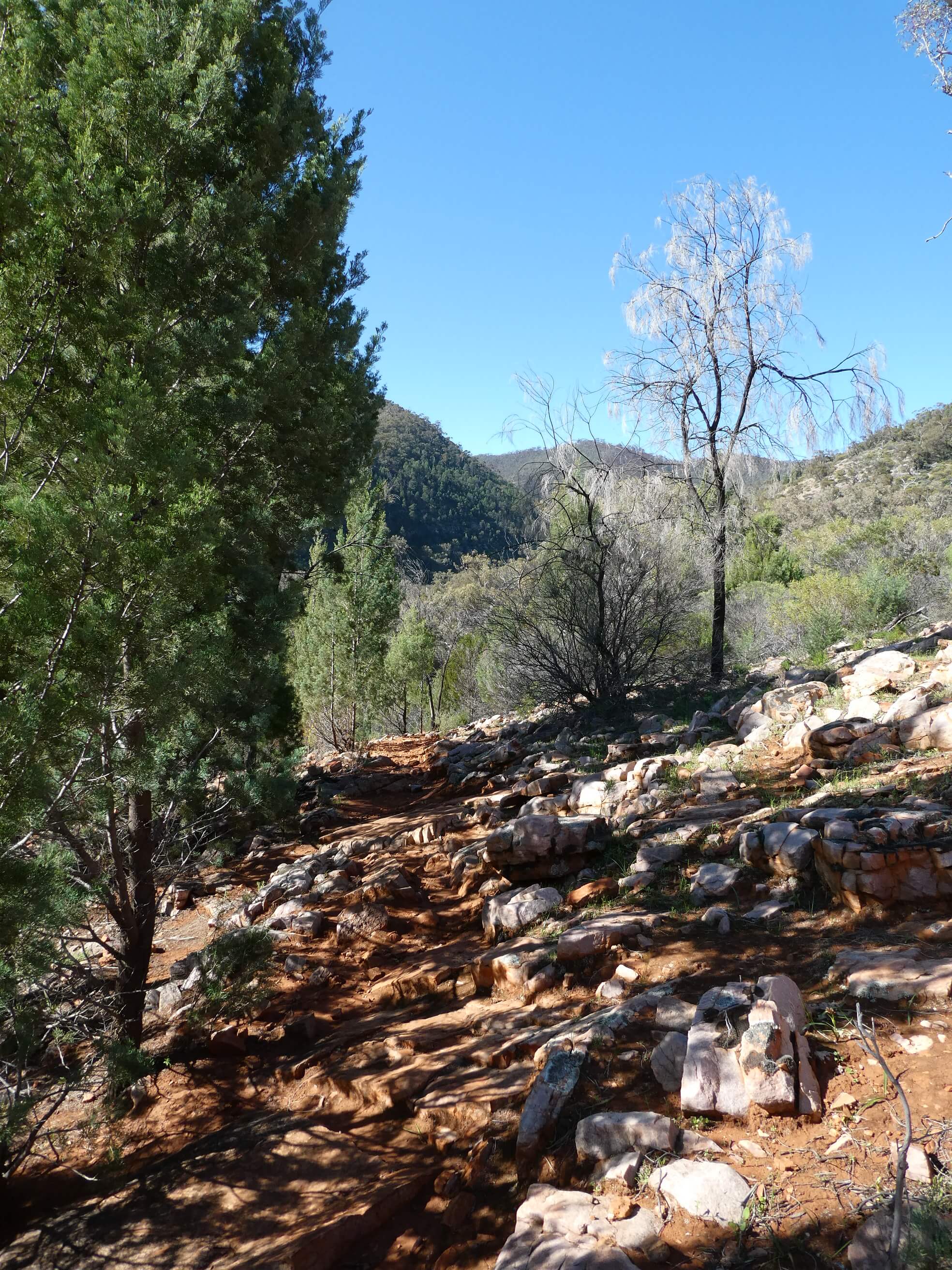
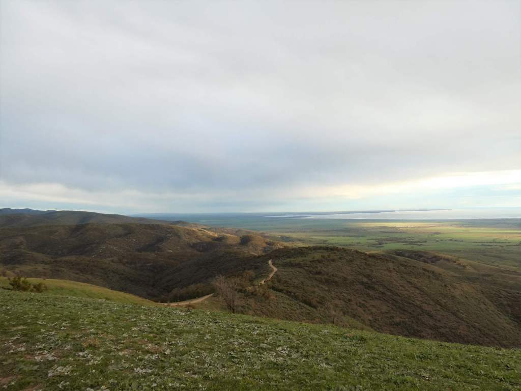
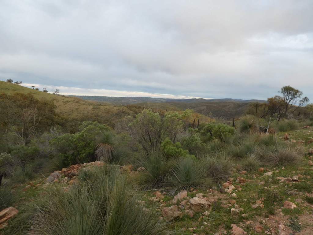
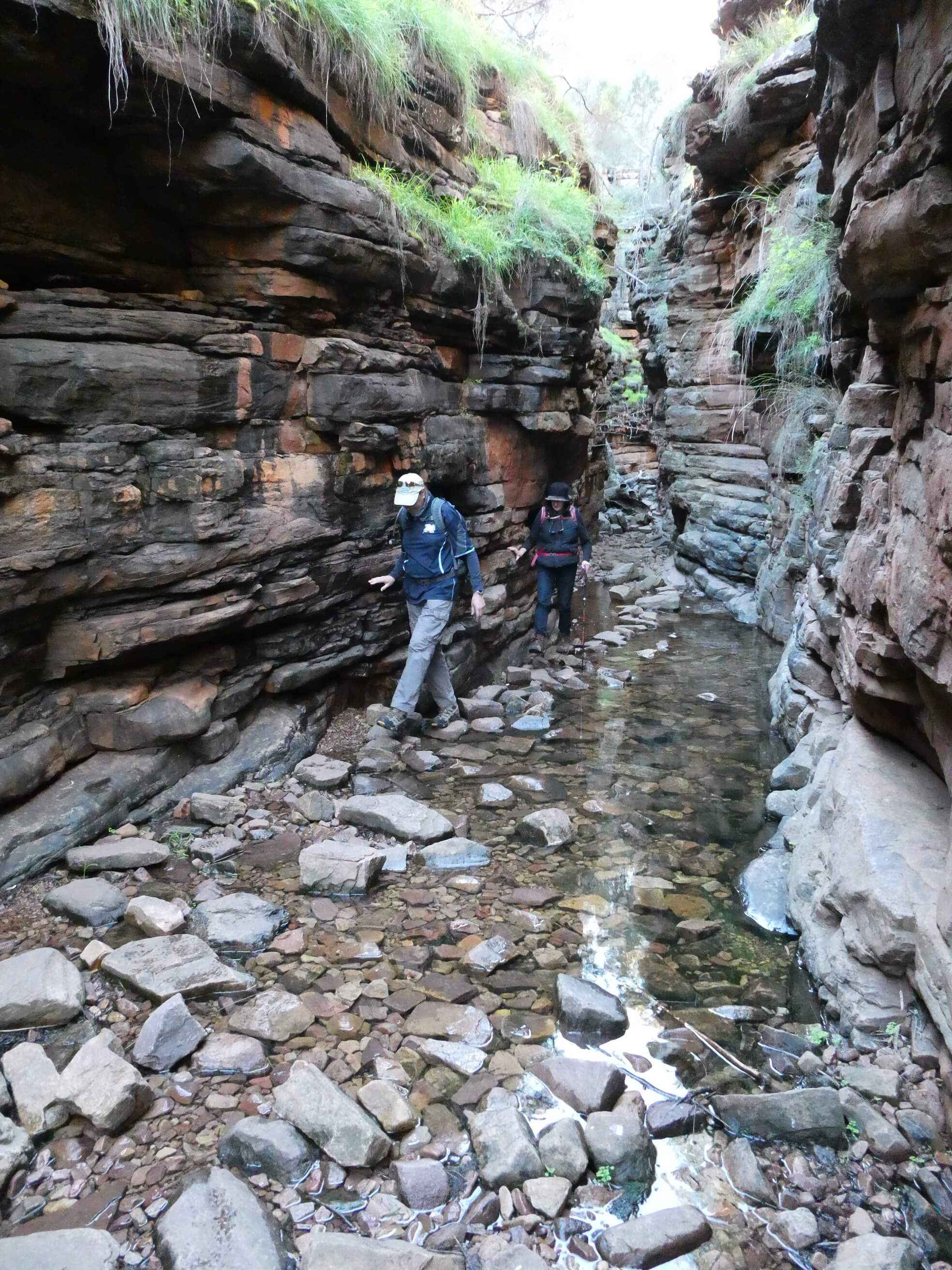
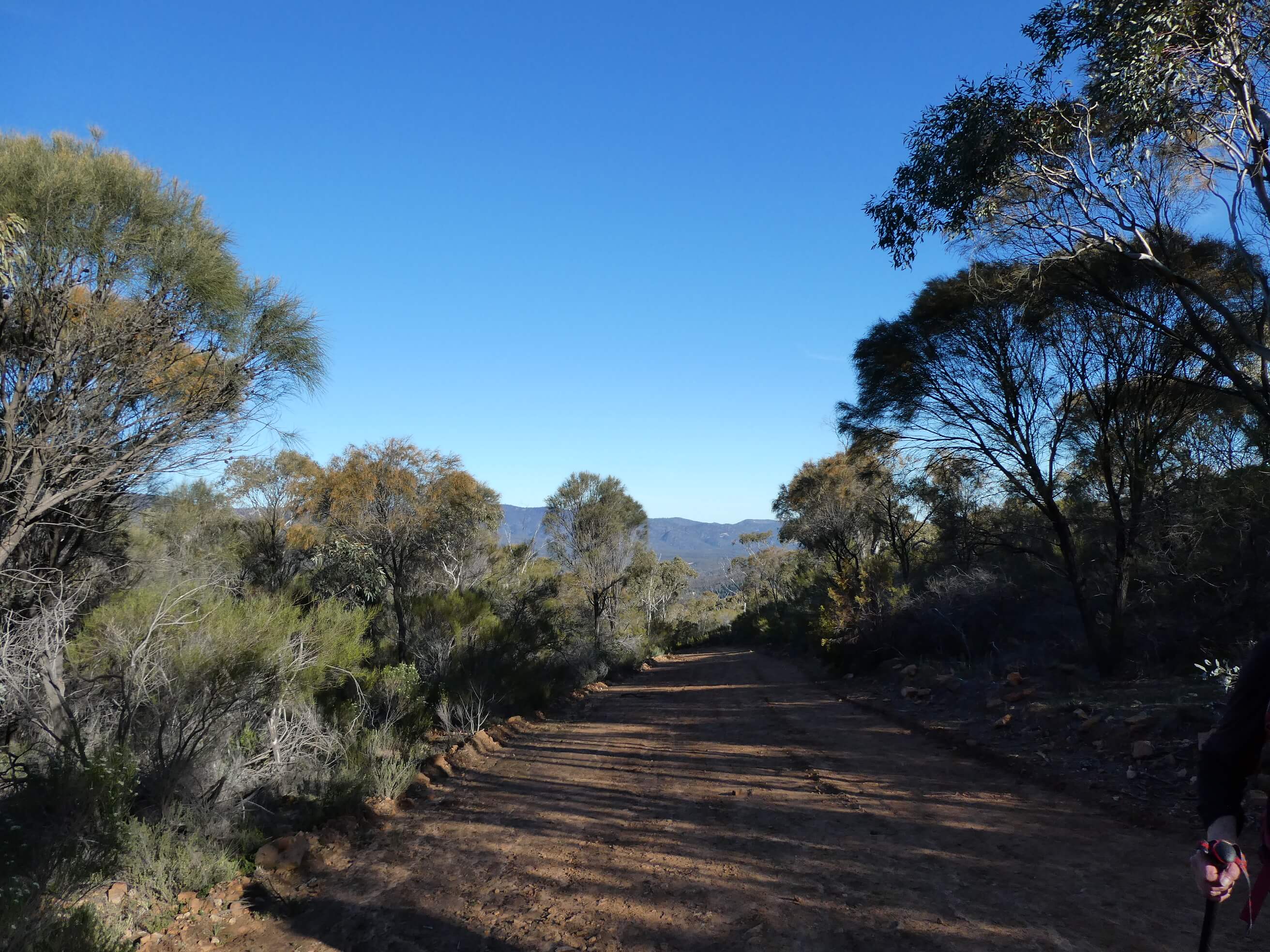
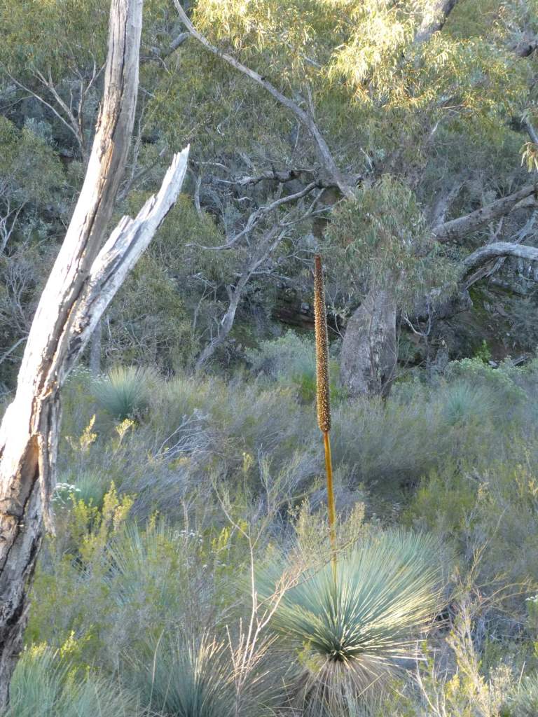
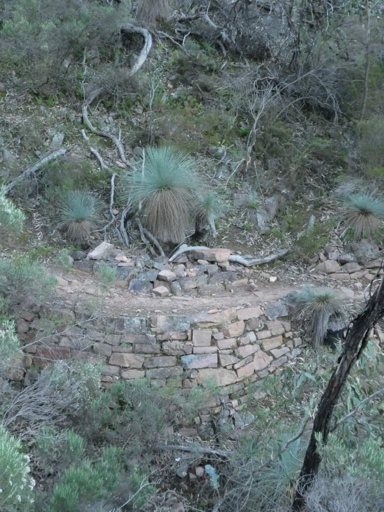
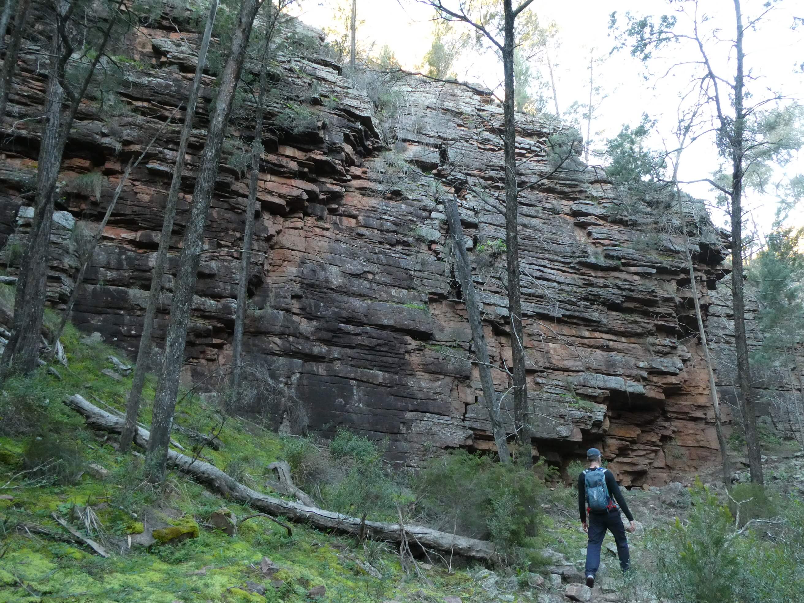
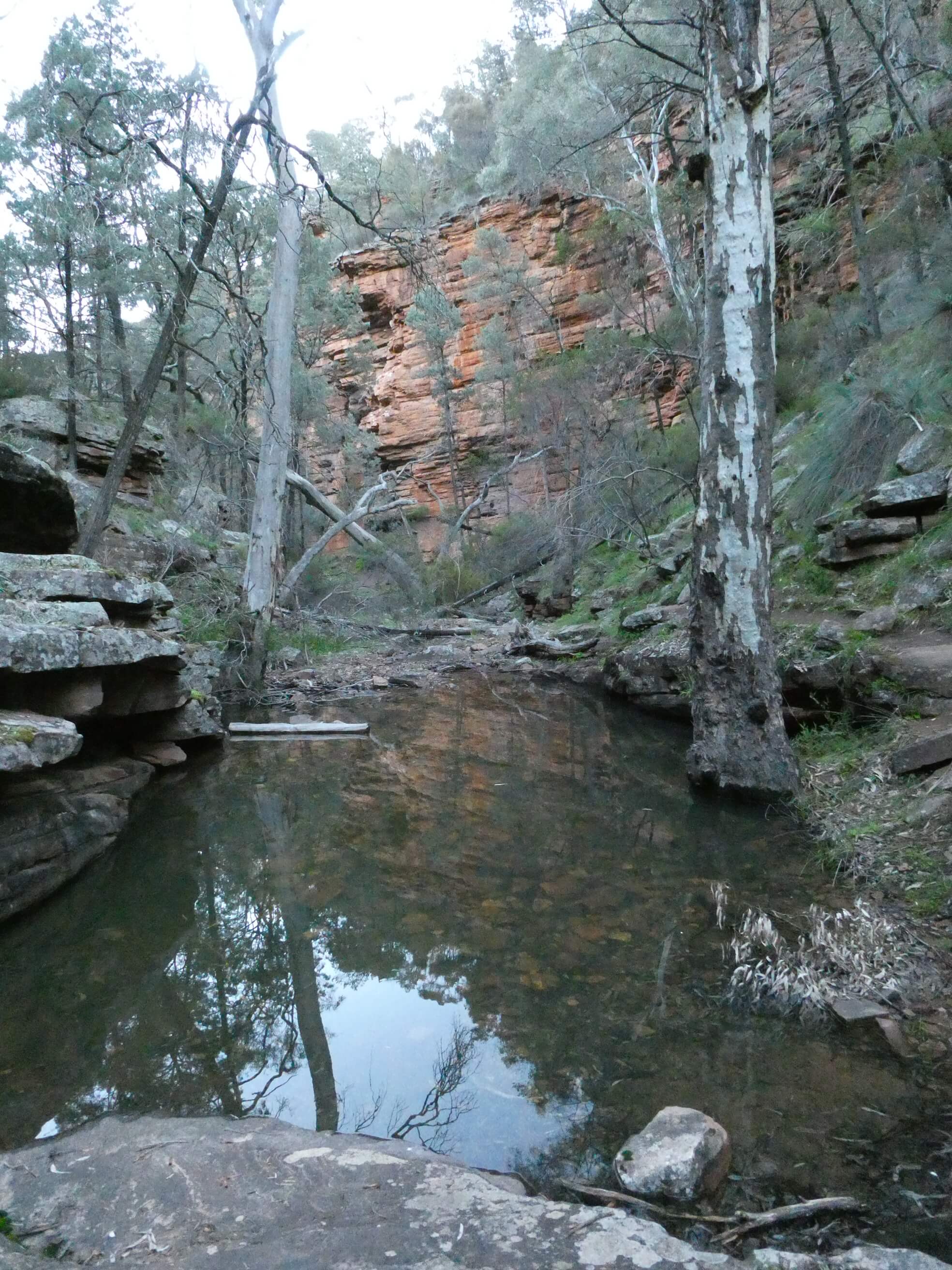
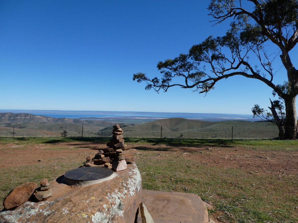
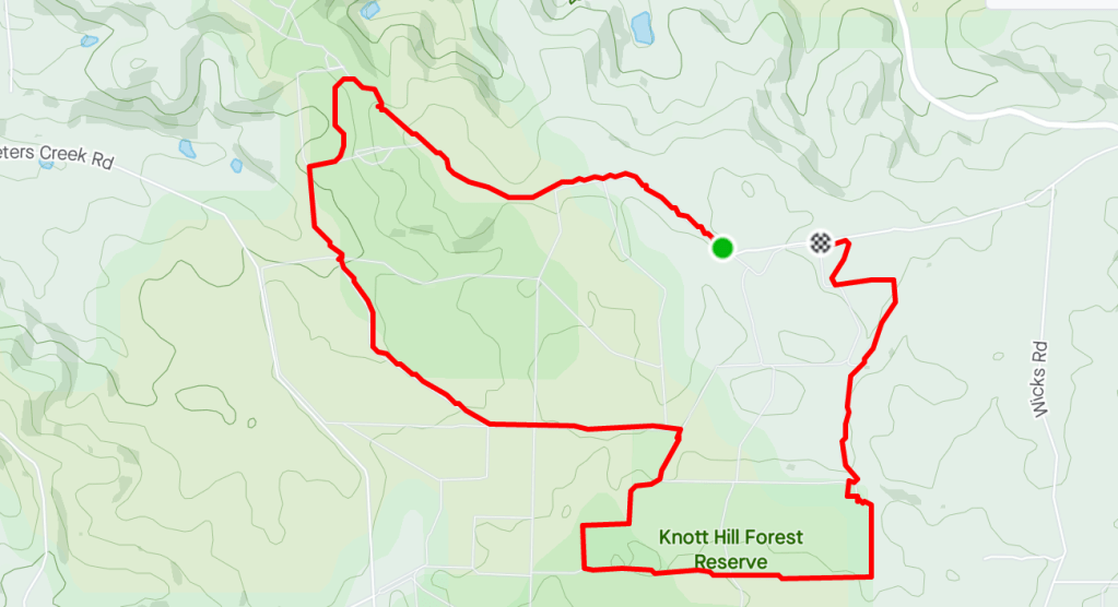
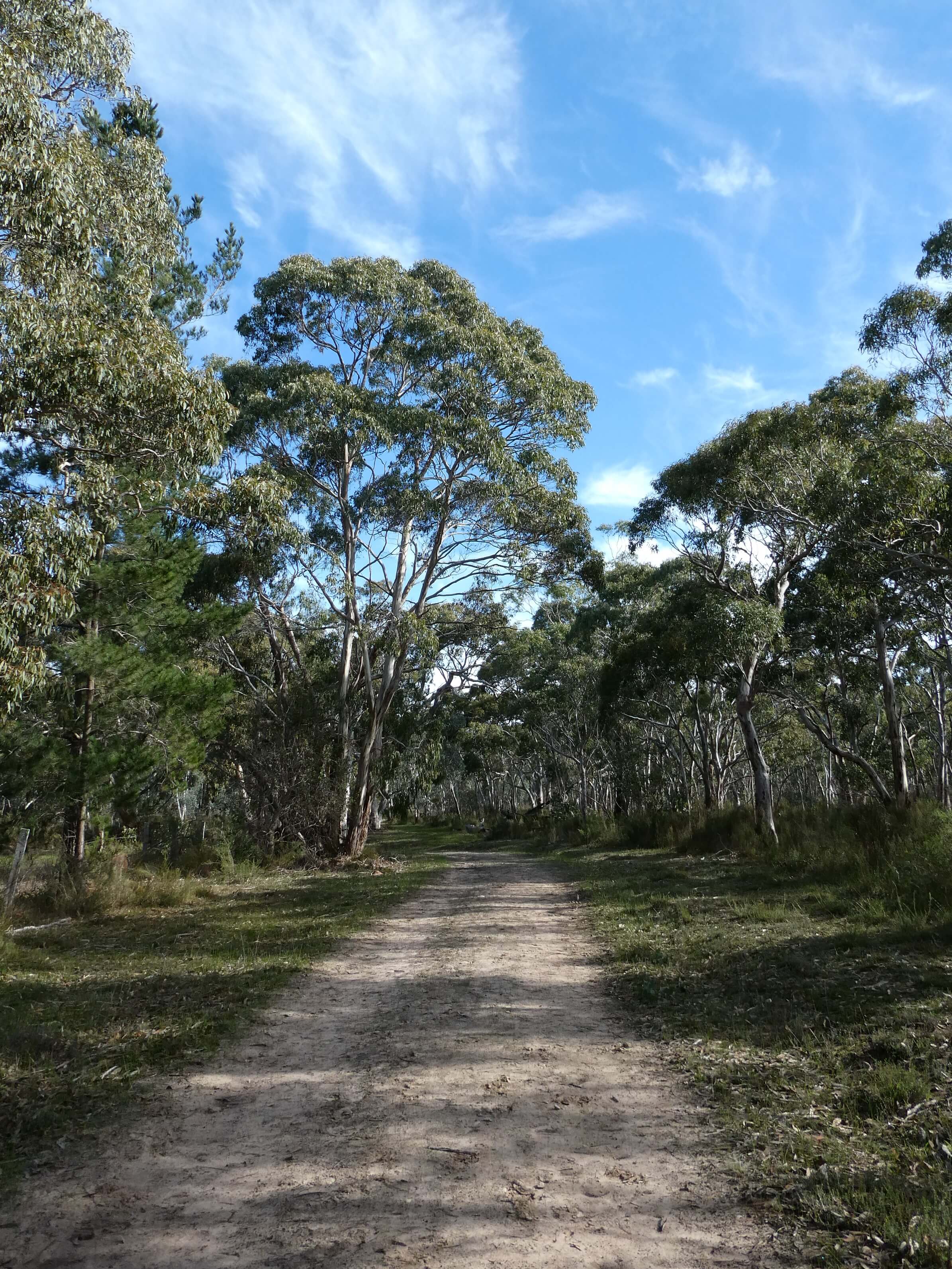
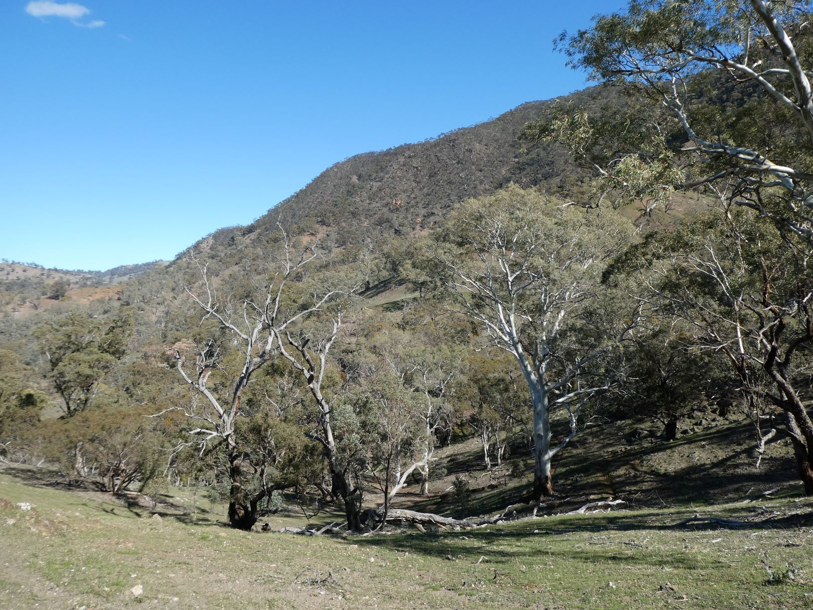
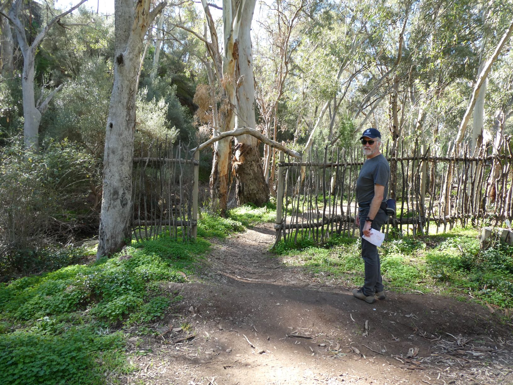
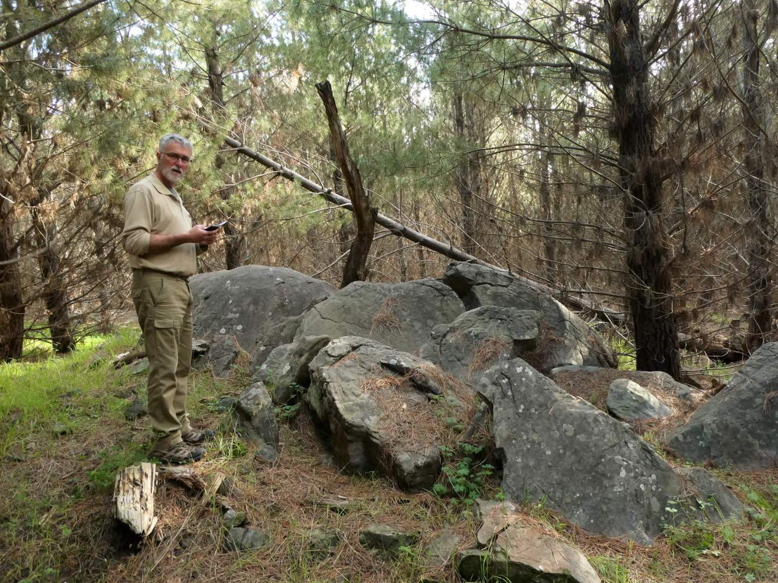
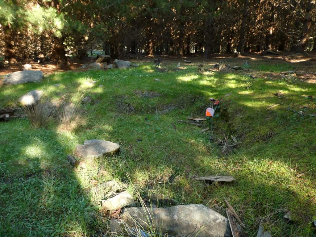
We went out to do an initial visit to the area and check whether the planned courses were OK in June. This involved visiting each planned site and making a few changes to control sites where the position was not easy to interpret from the nearby features. (mostly changes to rock locations, or ambiguous control descriptions).

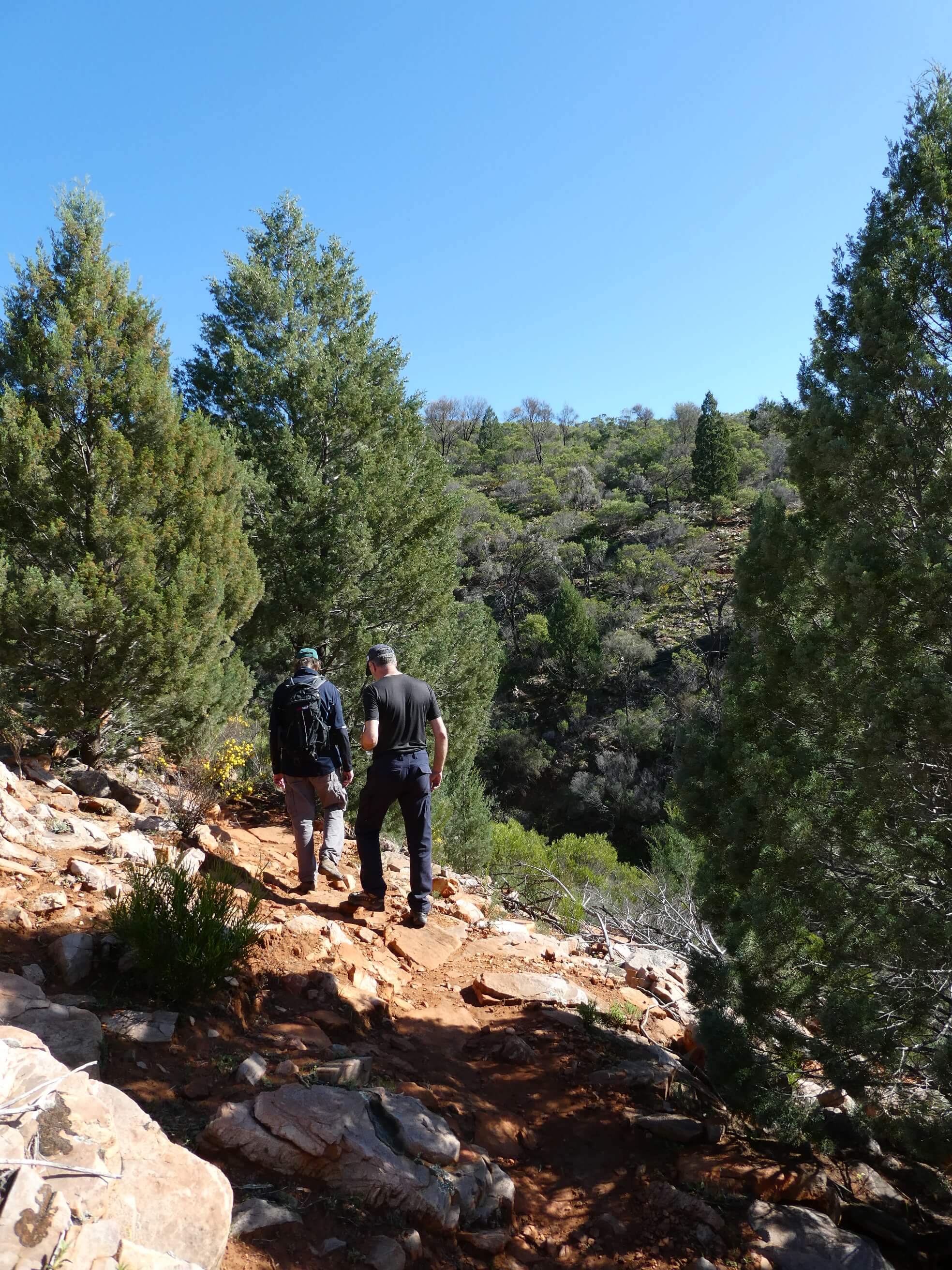
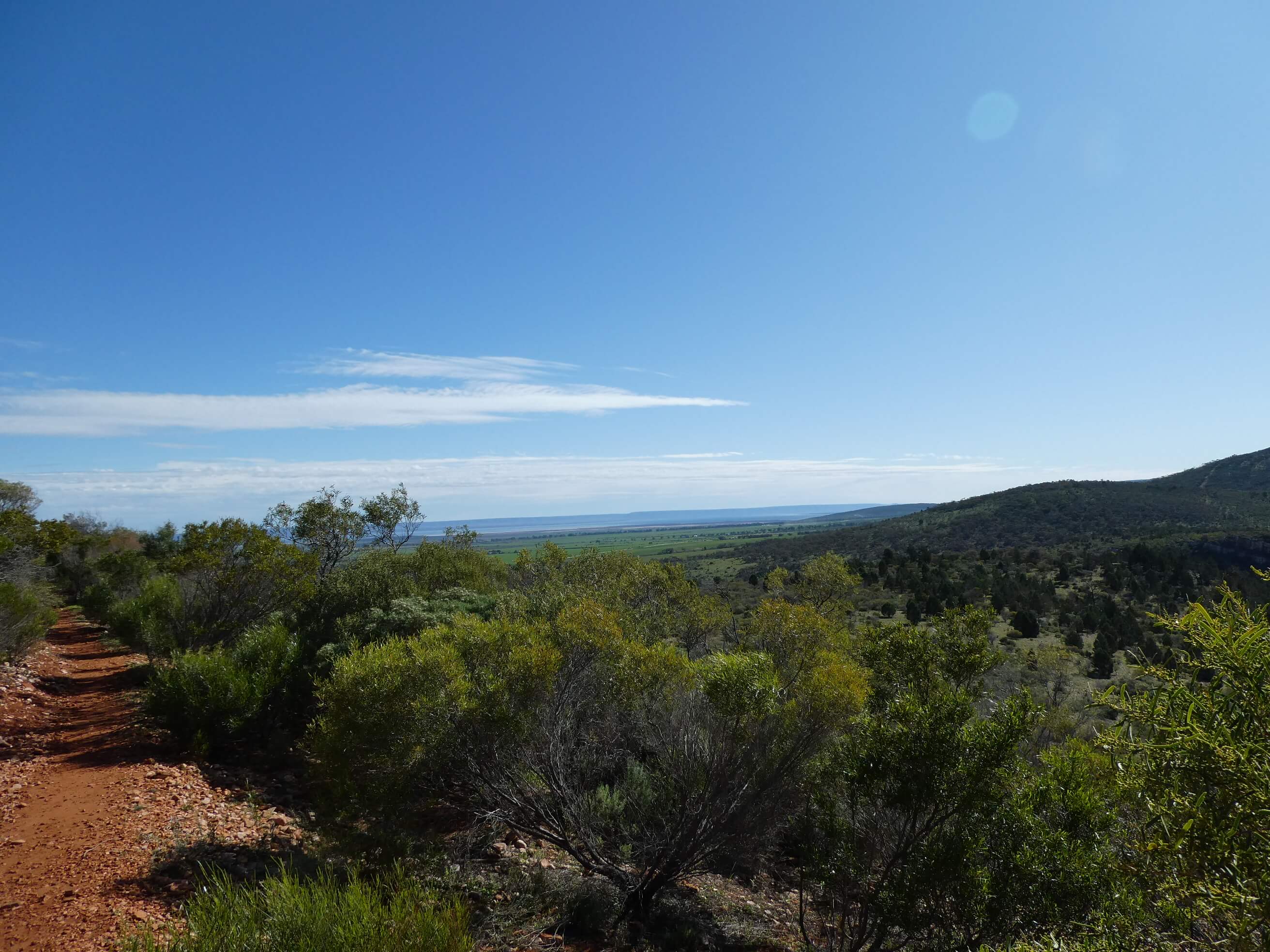
We were pretty happy to see that it could be tricky making our way through on a bearing and that choice of attack point and careful use of bearings and distance was vital for some of the controls to avoid wasting time. This would give plenty of scope for training on different skills.

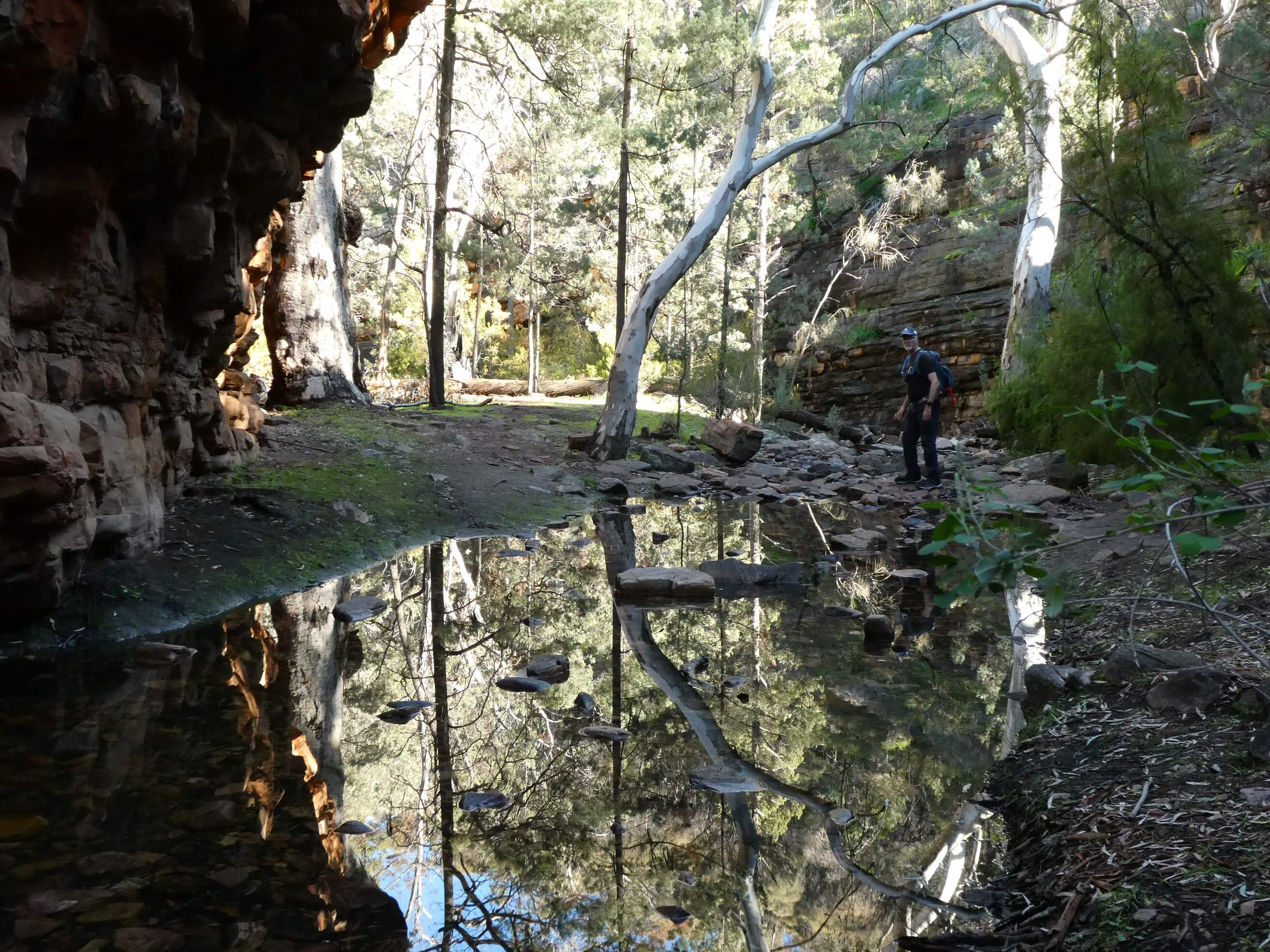
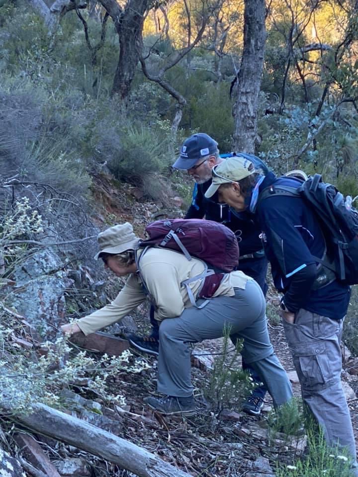
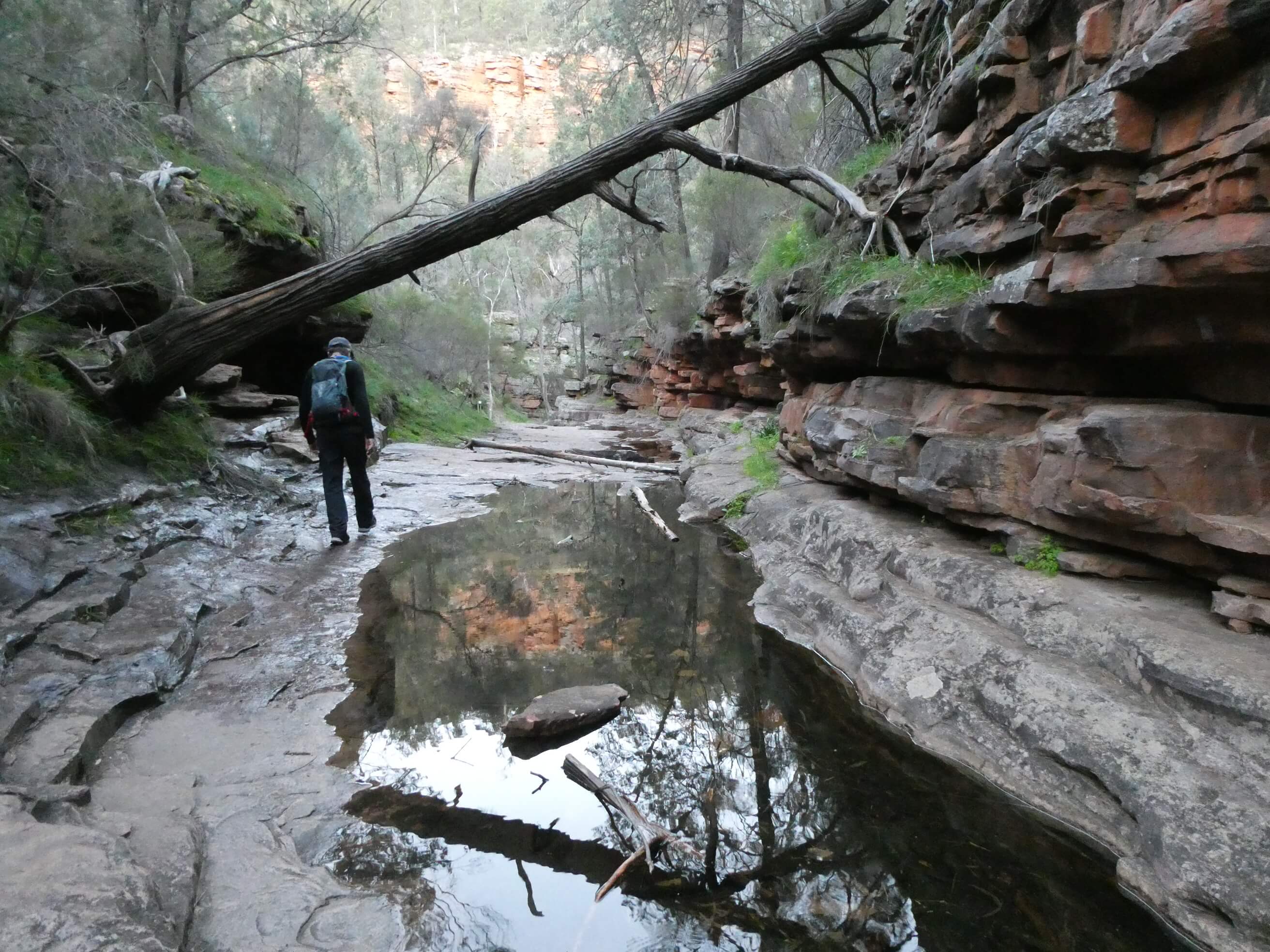
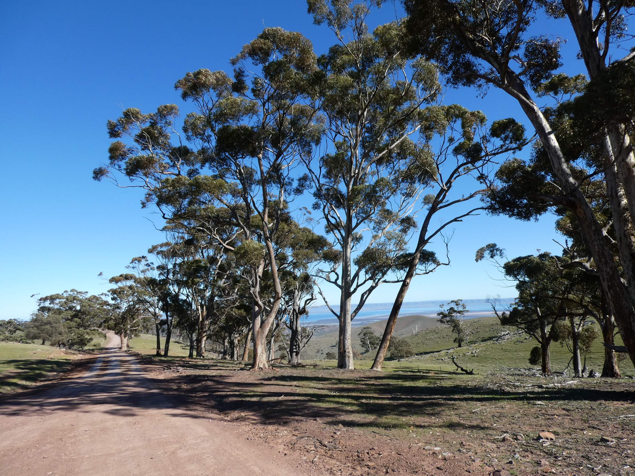
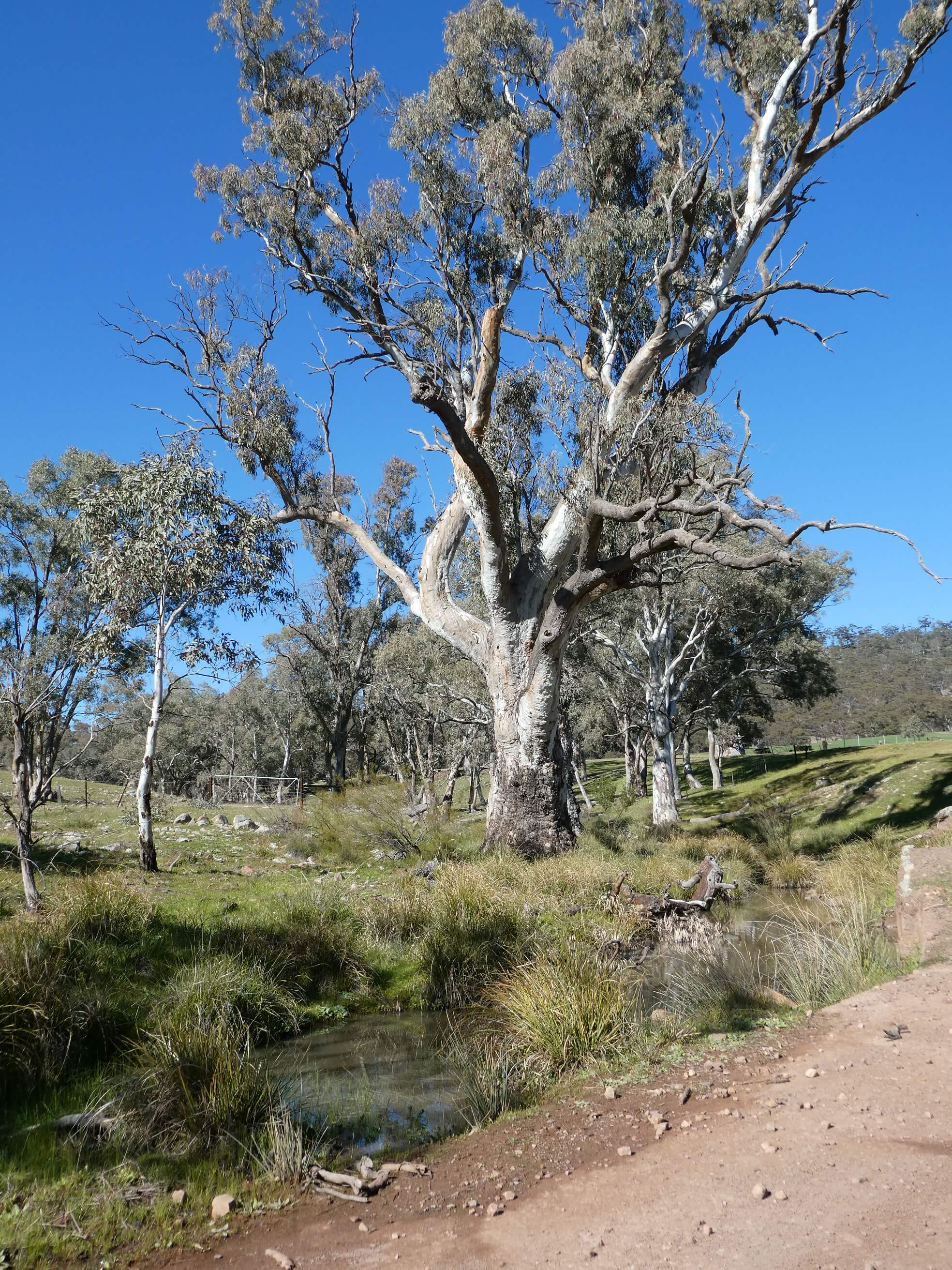
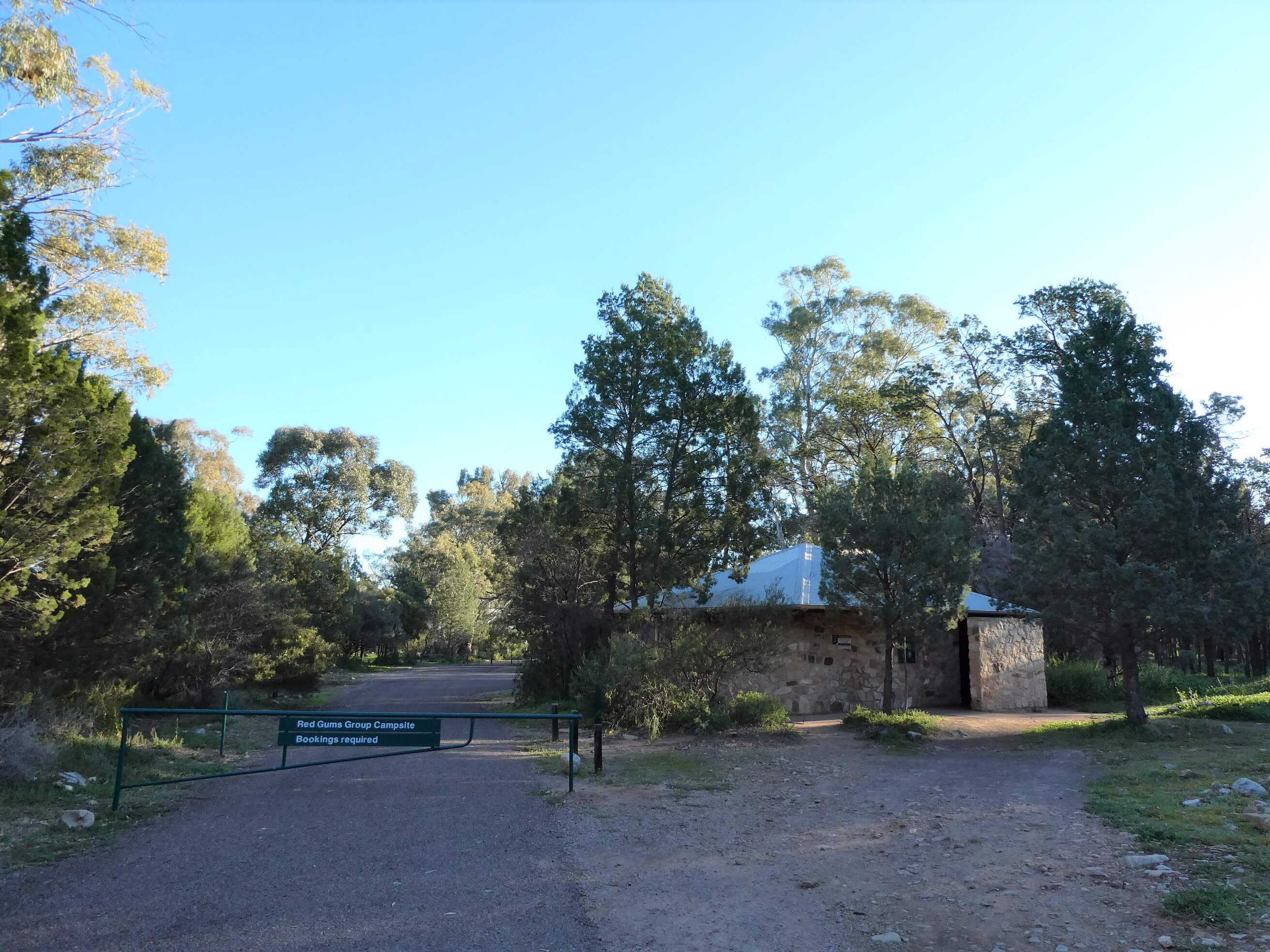
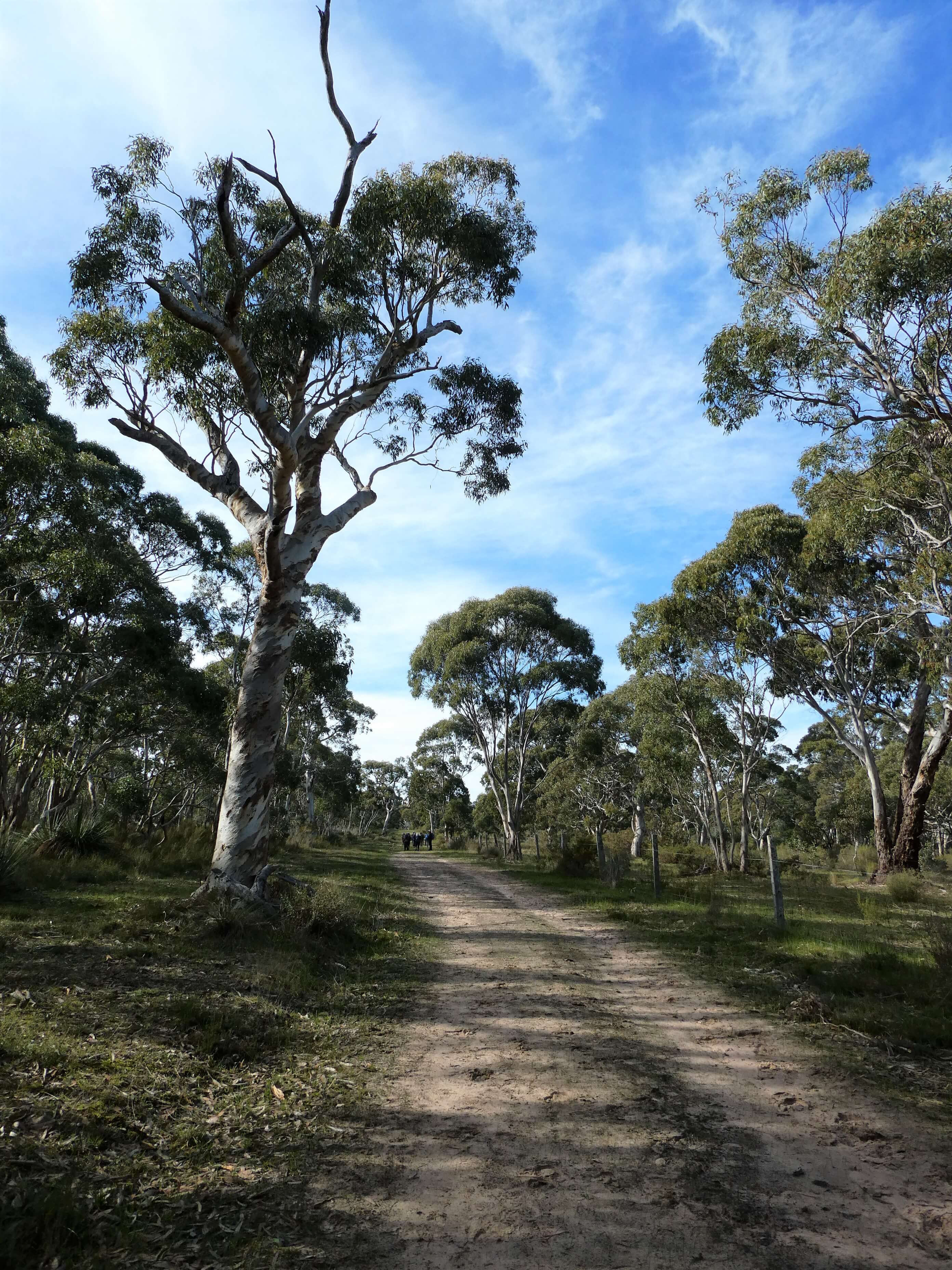
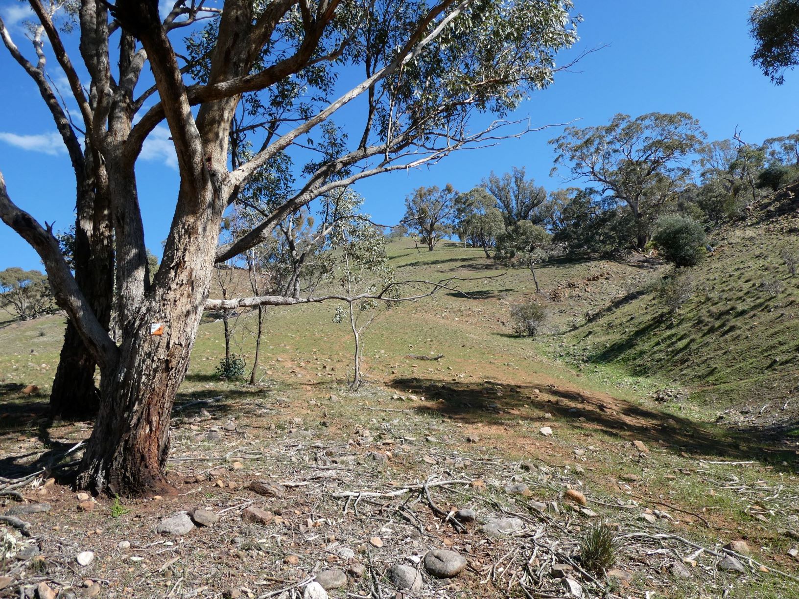
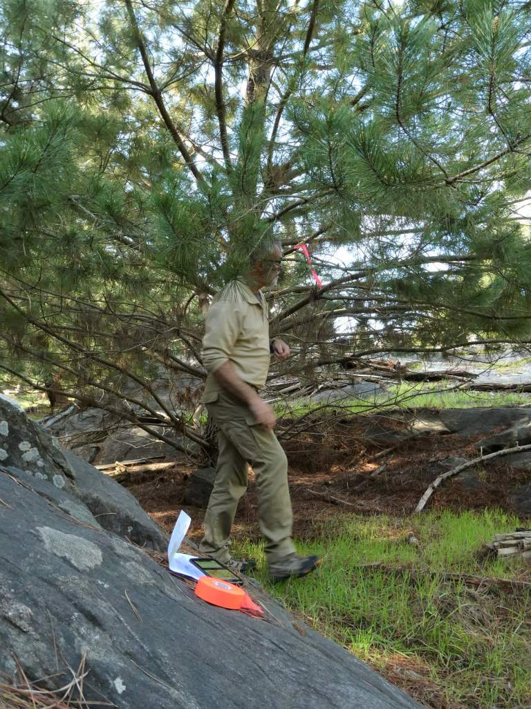
In late July we went out again to tape our control locations, and to pick up the key to the gate from forestry headquarters. Adrian had organised the key for access at our request. We walked around the controls together and agreed on the final locations, hanging tape at each to confirm it. Trevor had found out how to use open orienteering mapper (OOM) from David George, so that he could load the courses over the map and see this all on his phone screen. This enabled us to check that we were, indeed, where we thought we were.

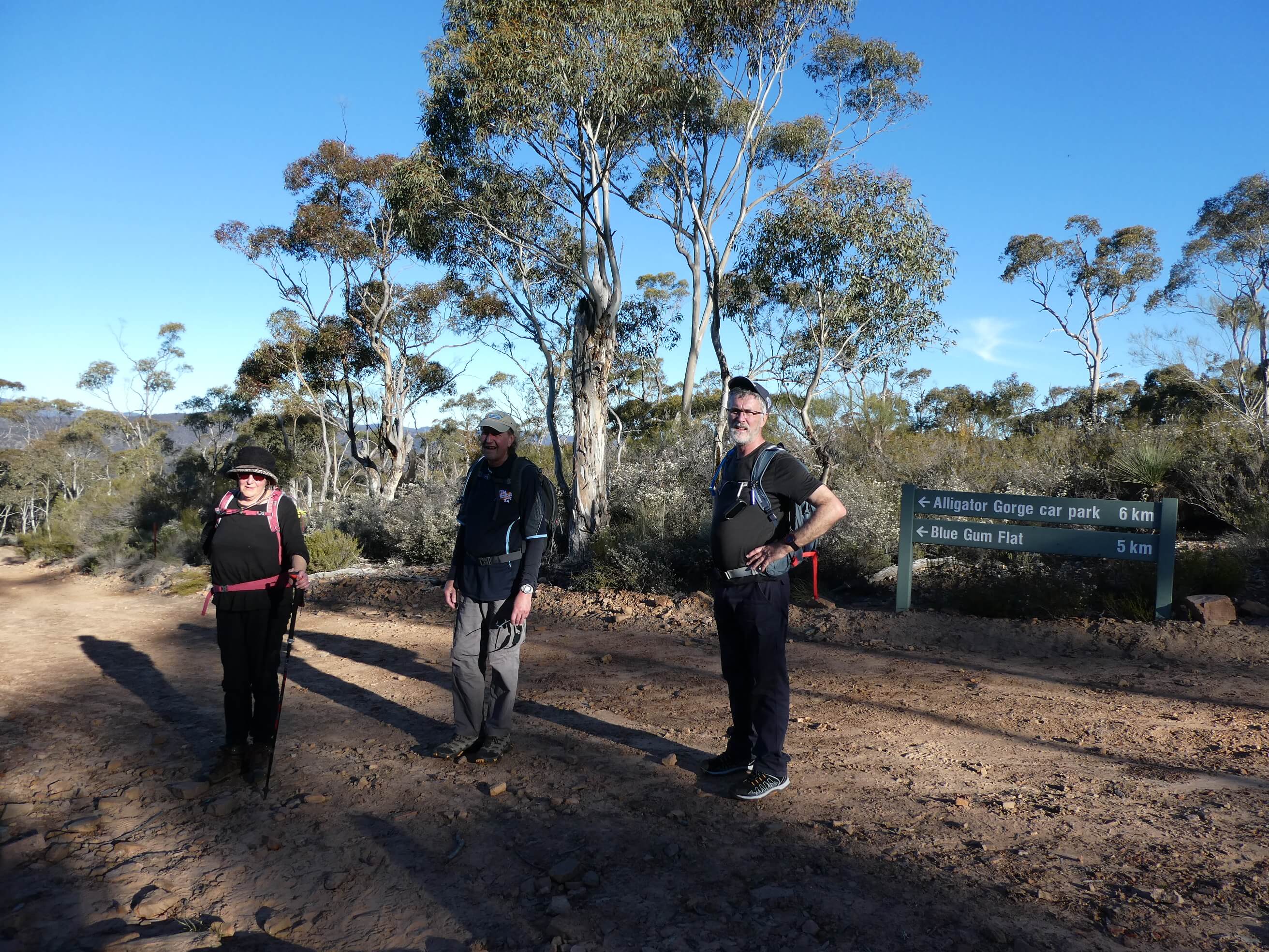
We had asked for people to pre-enter if possible due to COVID need to not share maps and to pre-pay to avoid handling of cash. For most this worked, and others phoned us to let us know that they were coming. This meant that we could print enough maps (we just printed a few more than we knew were coming at Officeworks the day before)

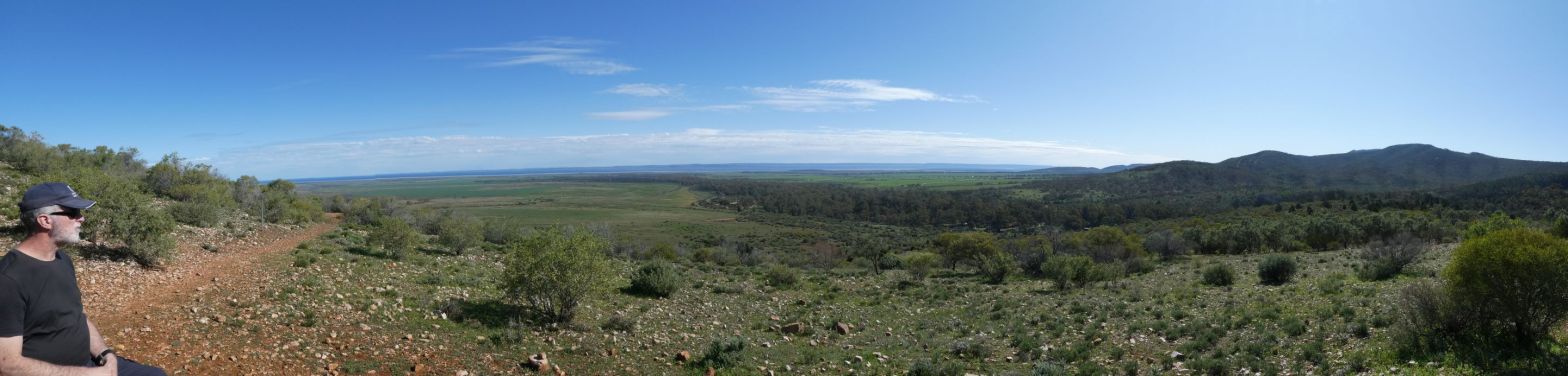
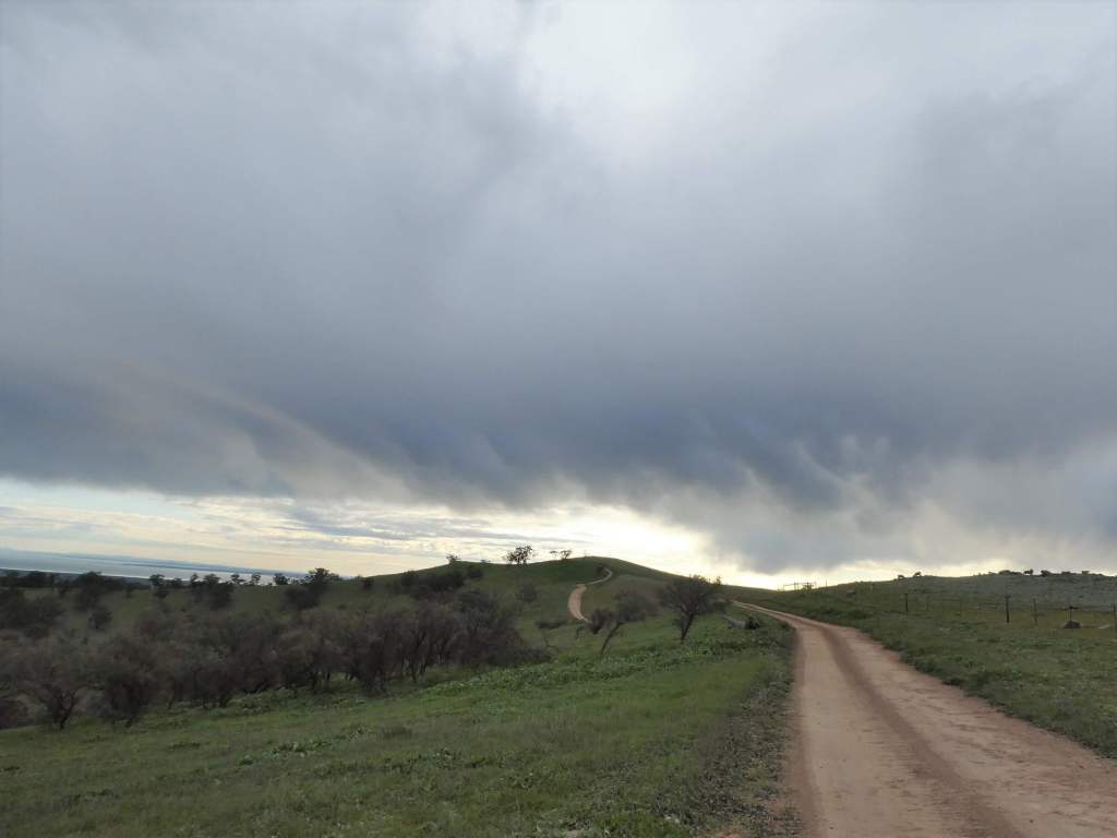
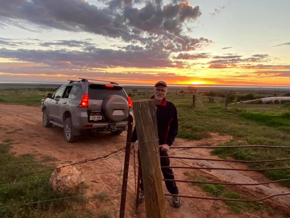
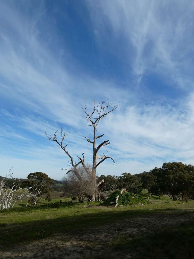
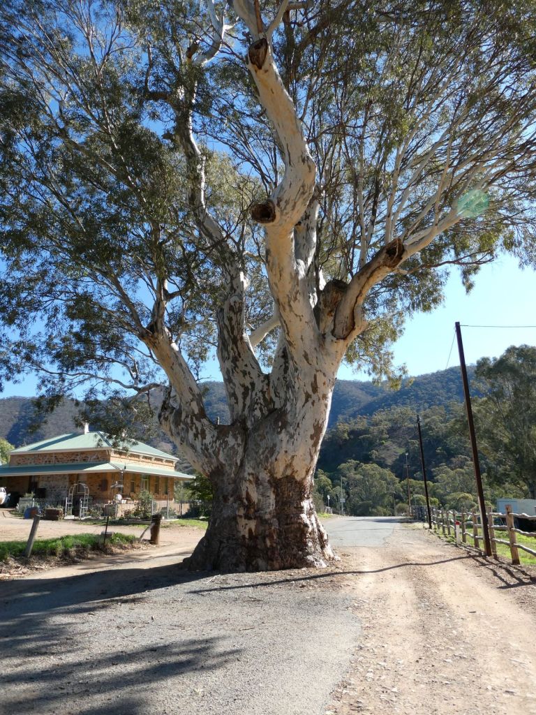
On the morning of the event it was very chilly.

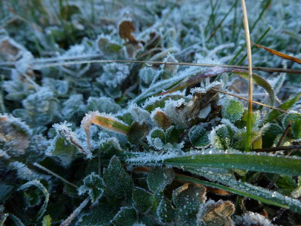
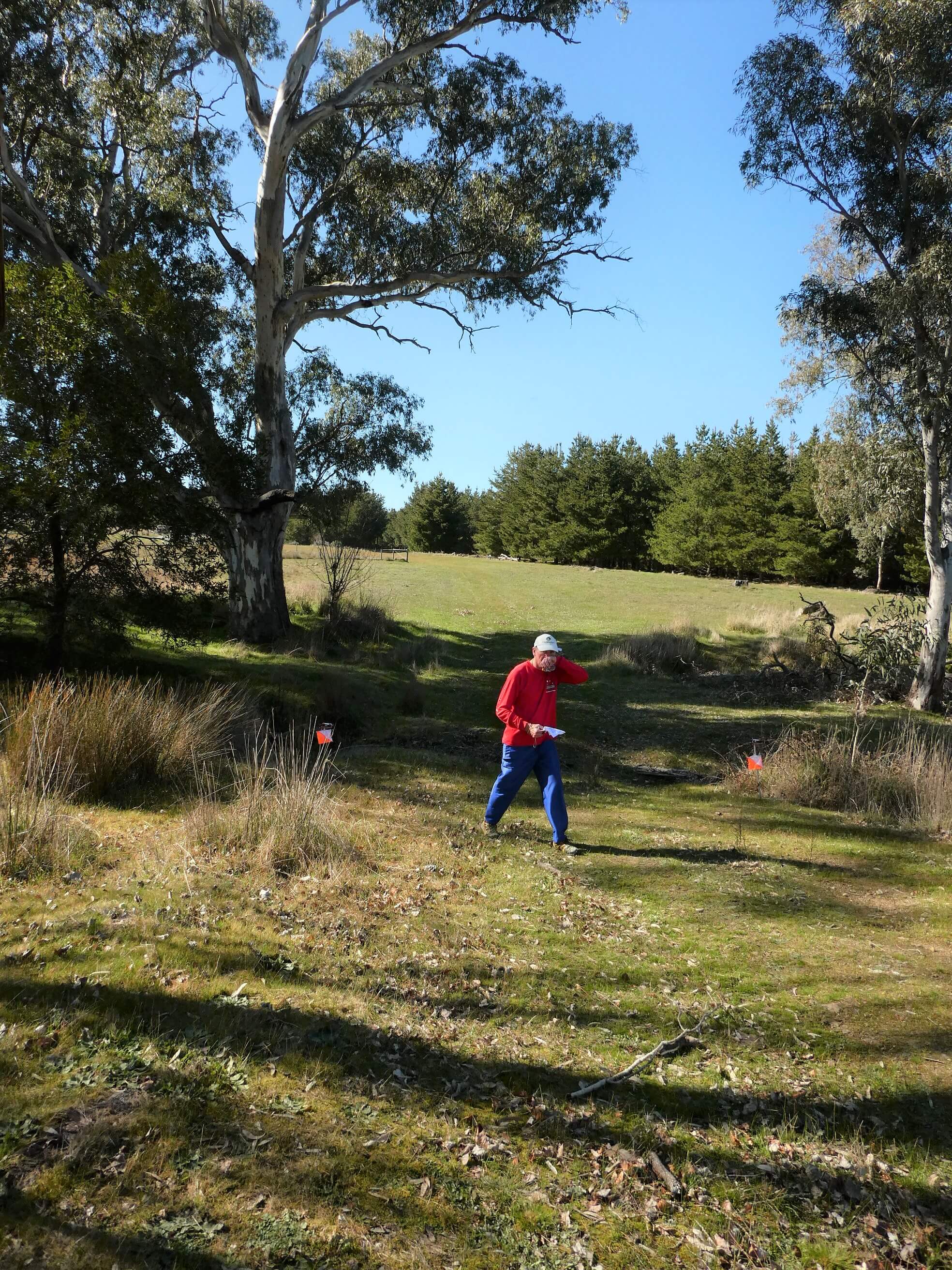
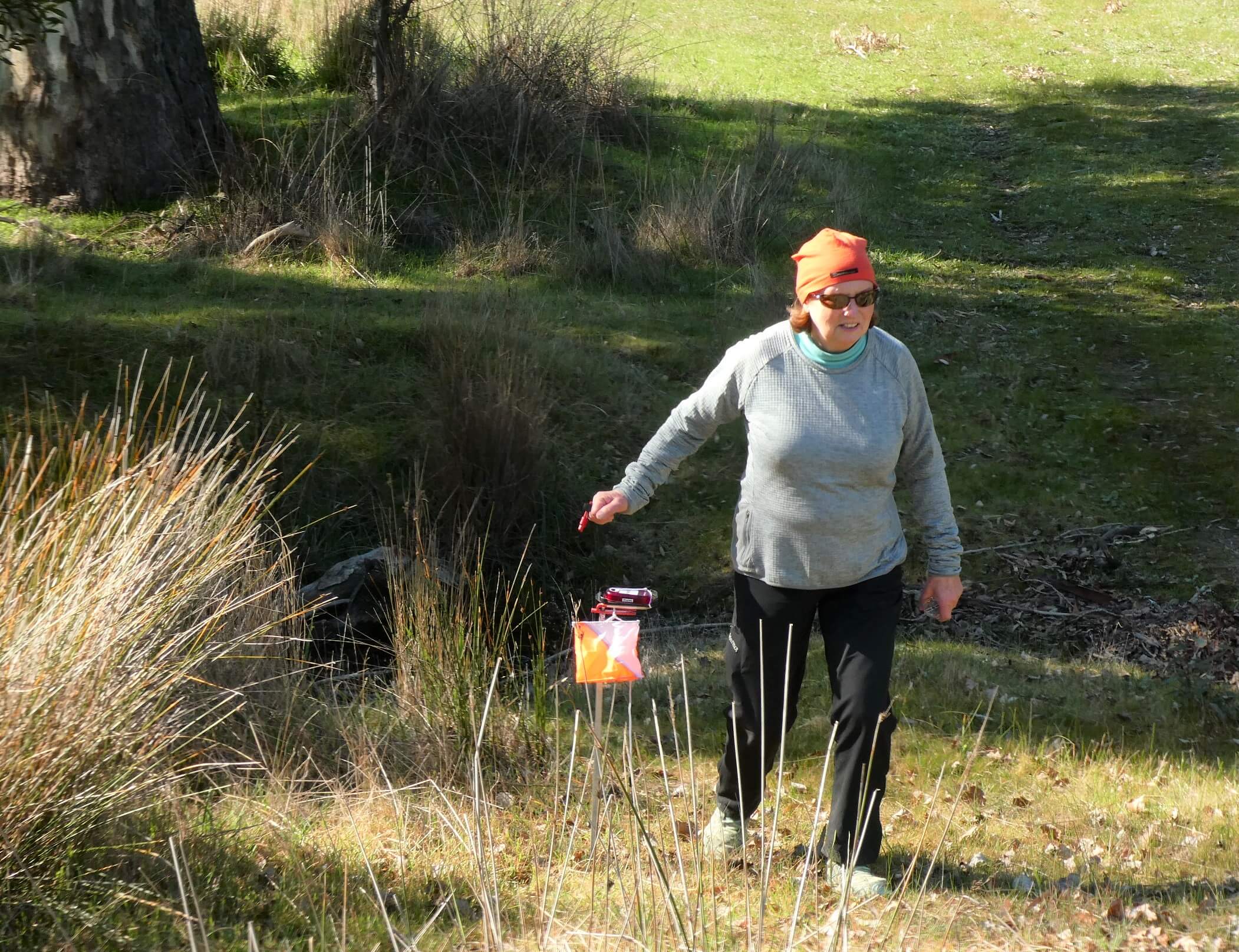
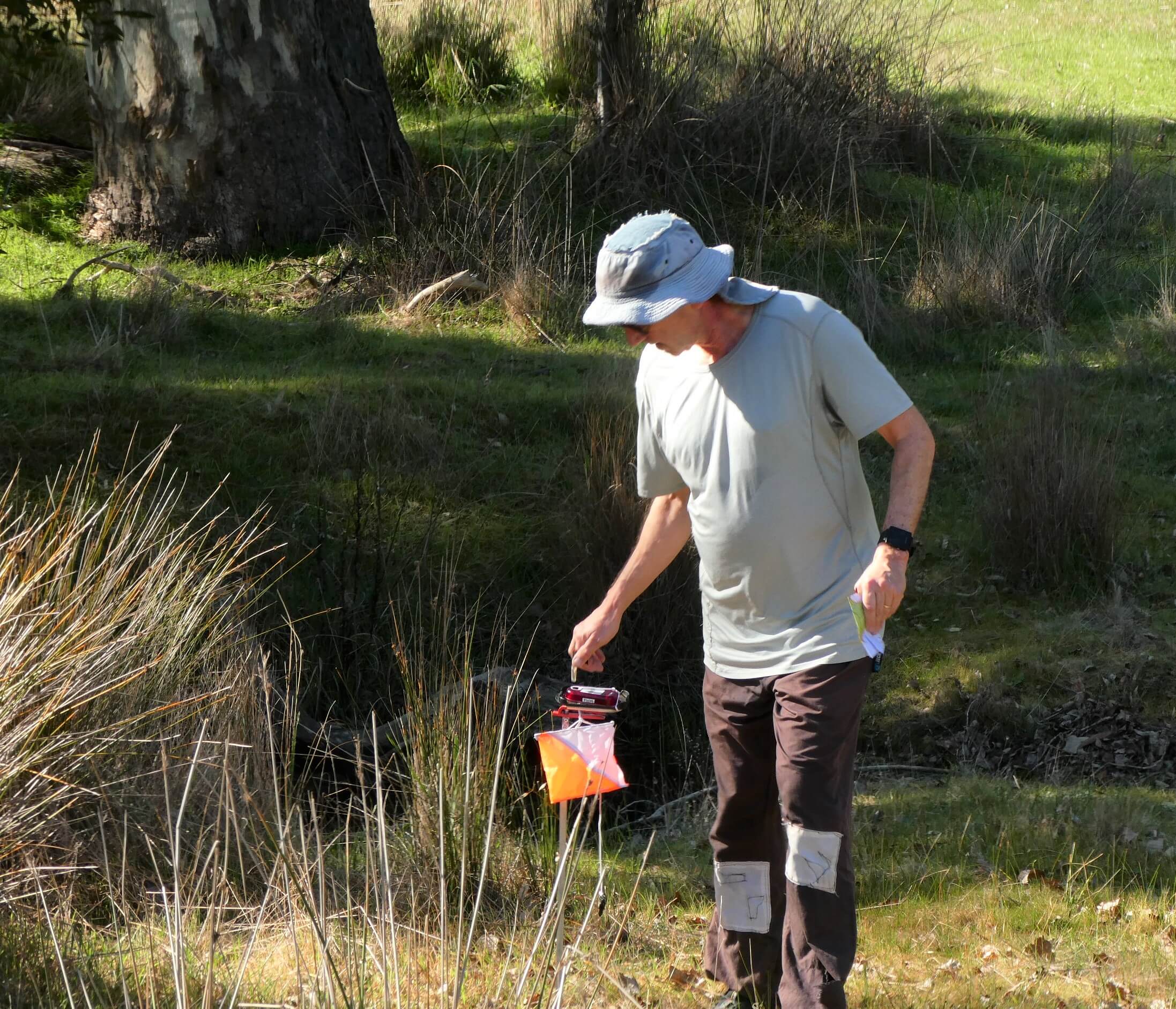
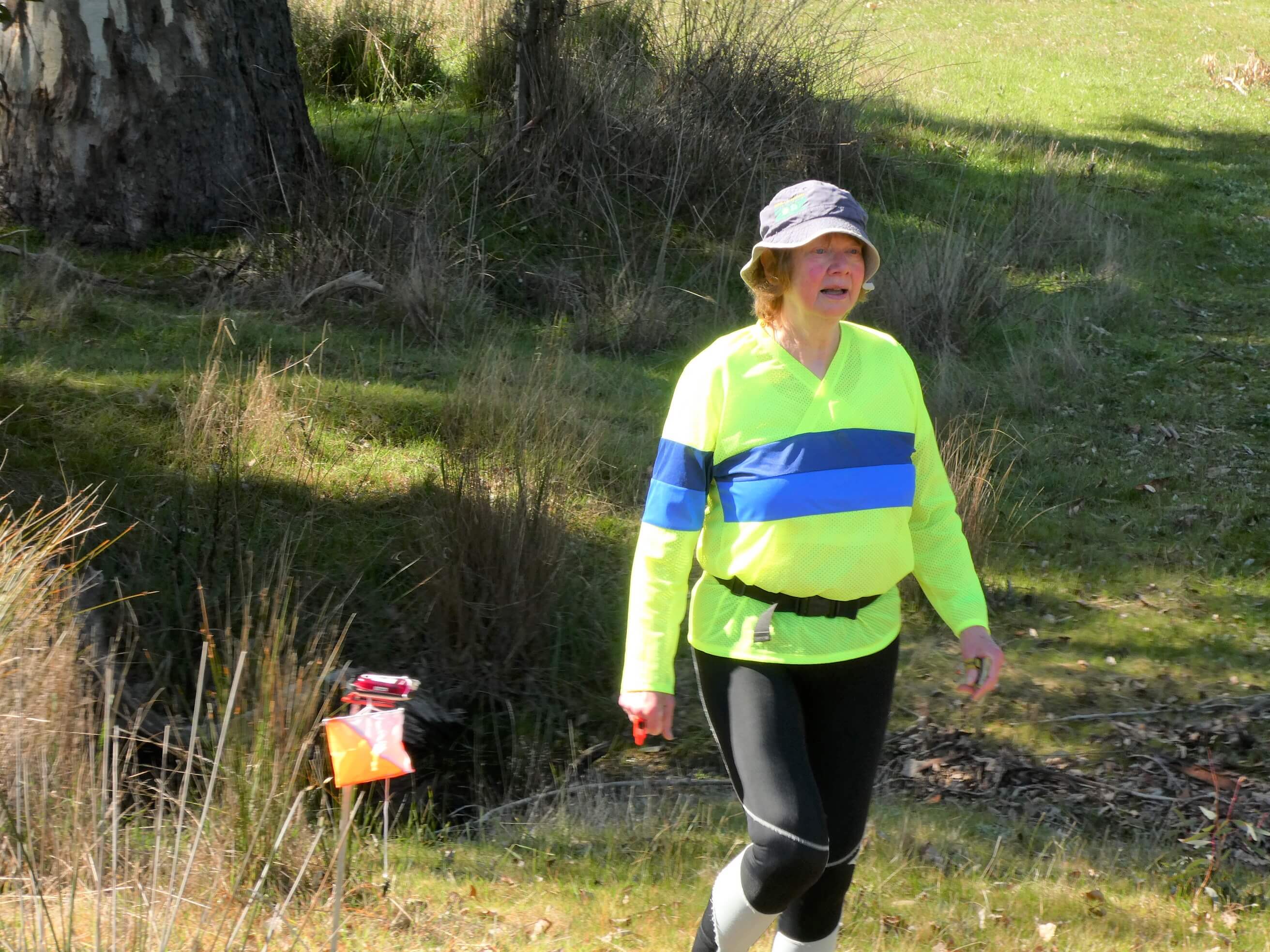
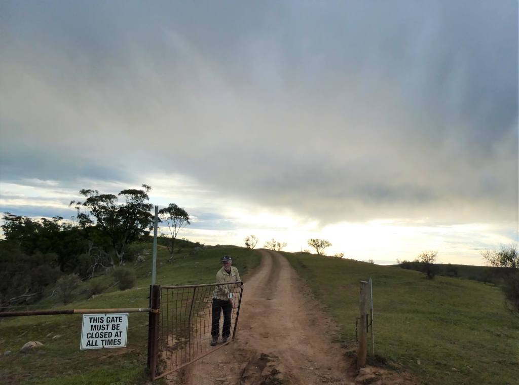
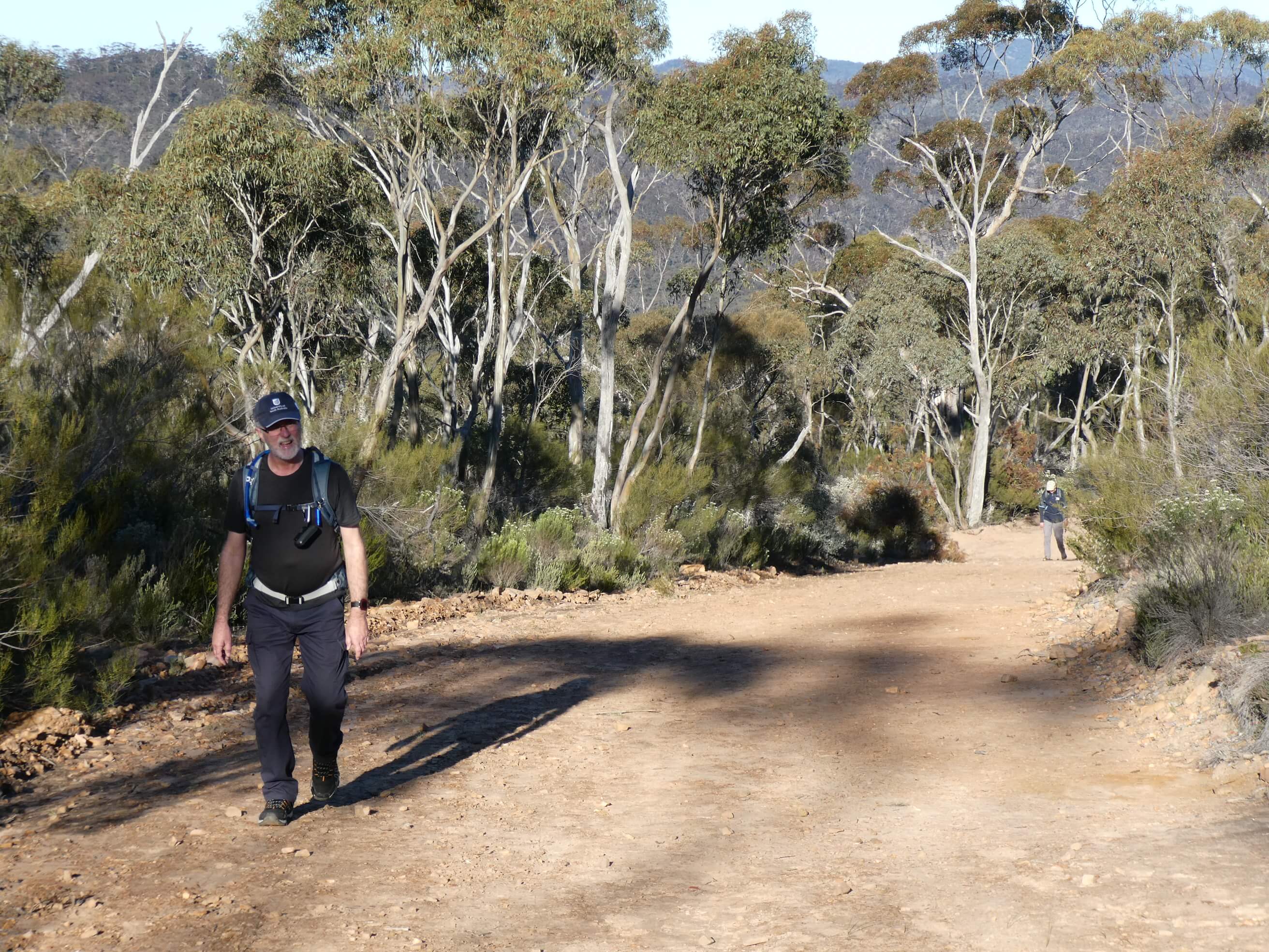
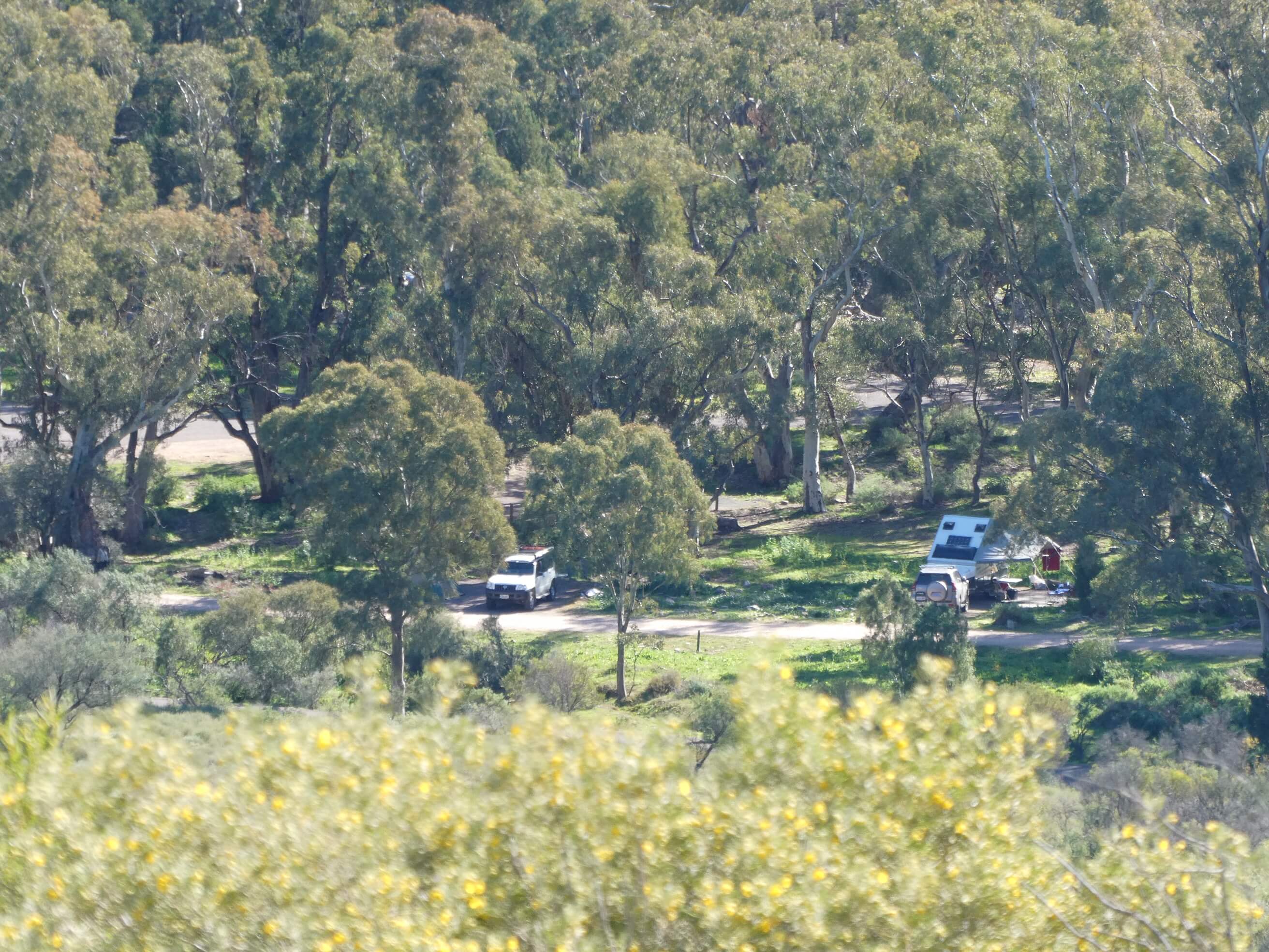
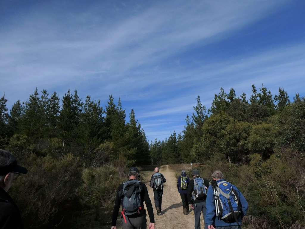
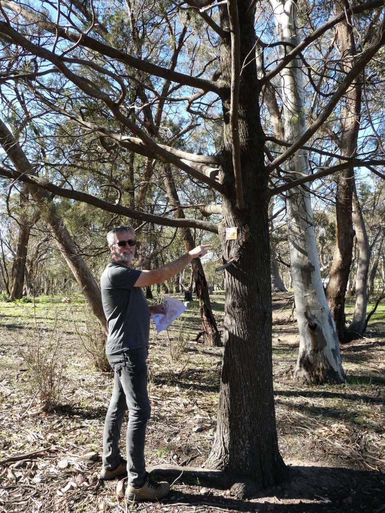
We arrived just before 9am after putting out signs at the corner. The grass was still icy. We split up, taking half of the controls each, and went to put them out (using mini training flags and the schools kit which we had borrowed from Aylwin Lim).

watercourse bend

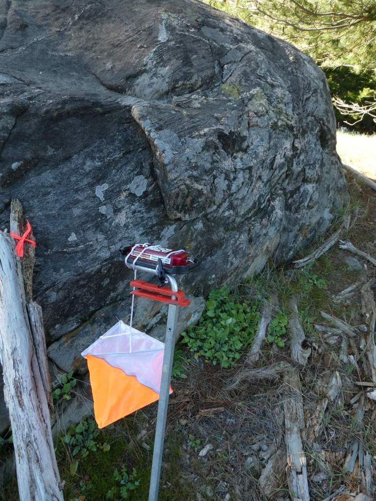
It was very reassuring to find the tapes still in place to confirm the locations. By the time we were back at the car there were already two customers waiting and only about fifteen minutes to spare. The frost was starting to melt away and the sun was shining even though the wind was still chilly.

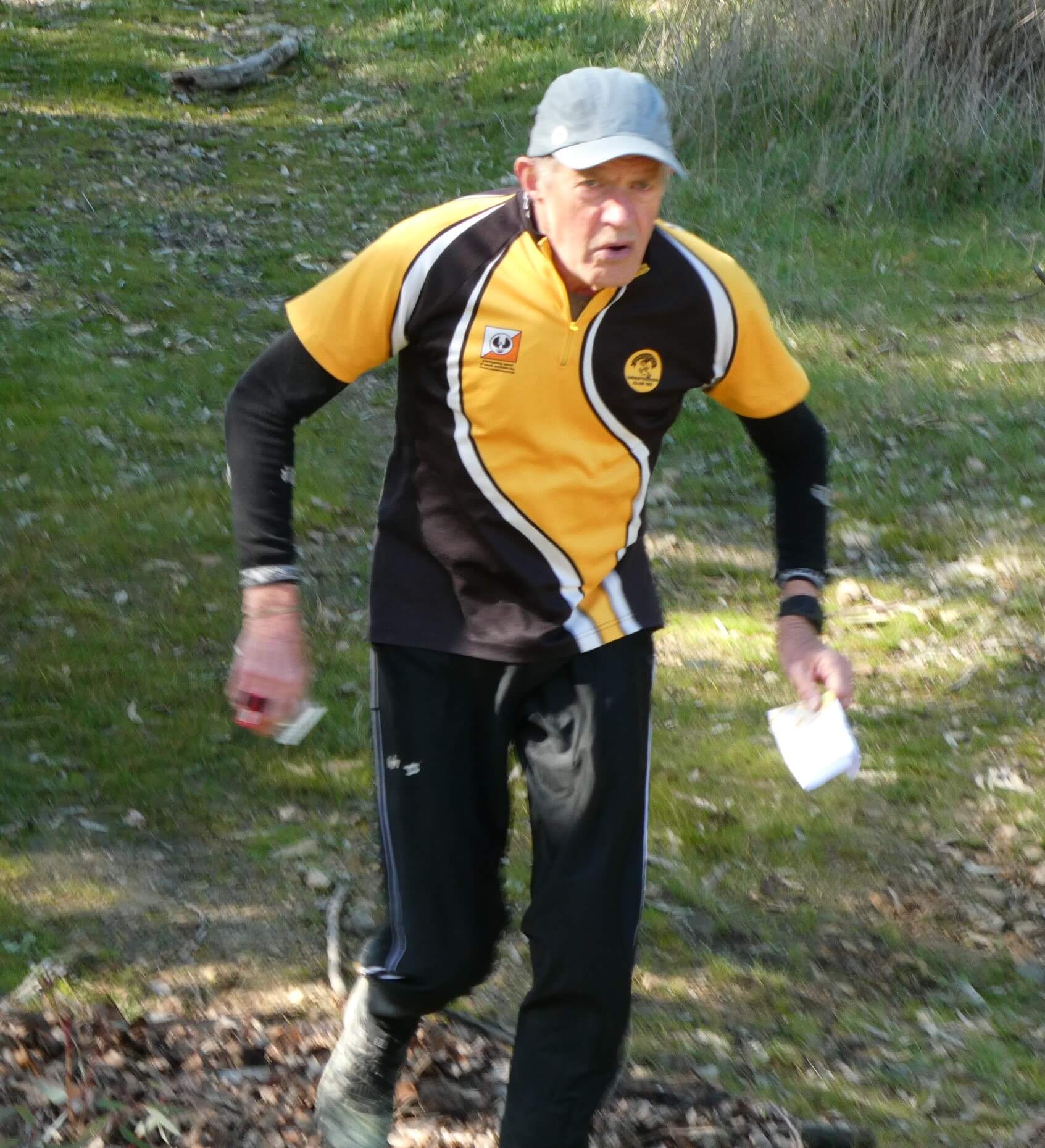
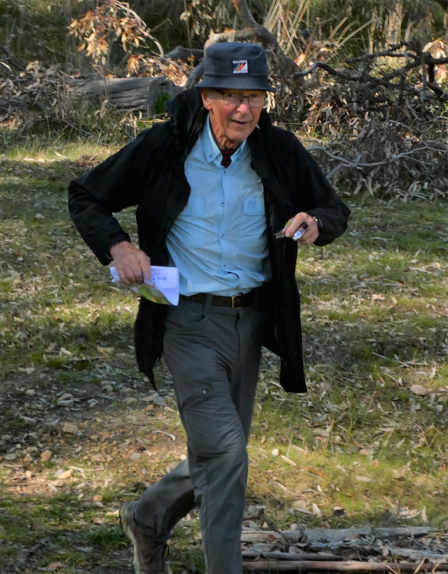
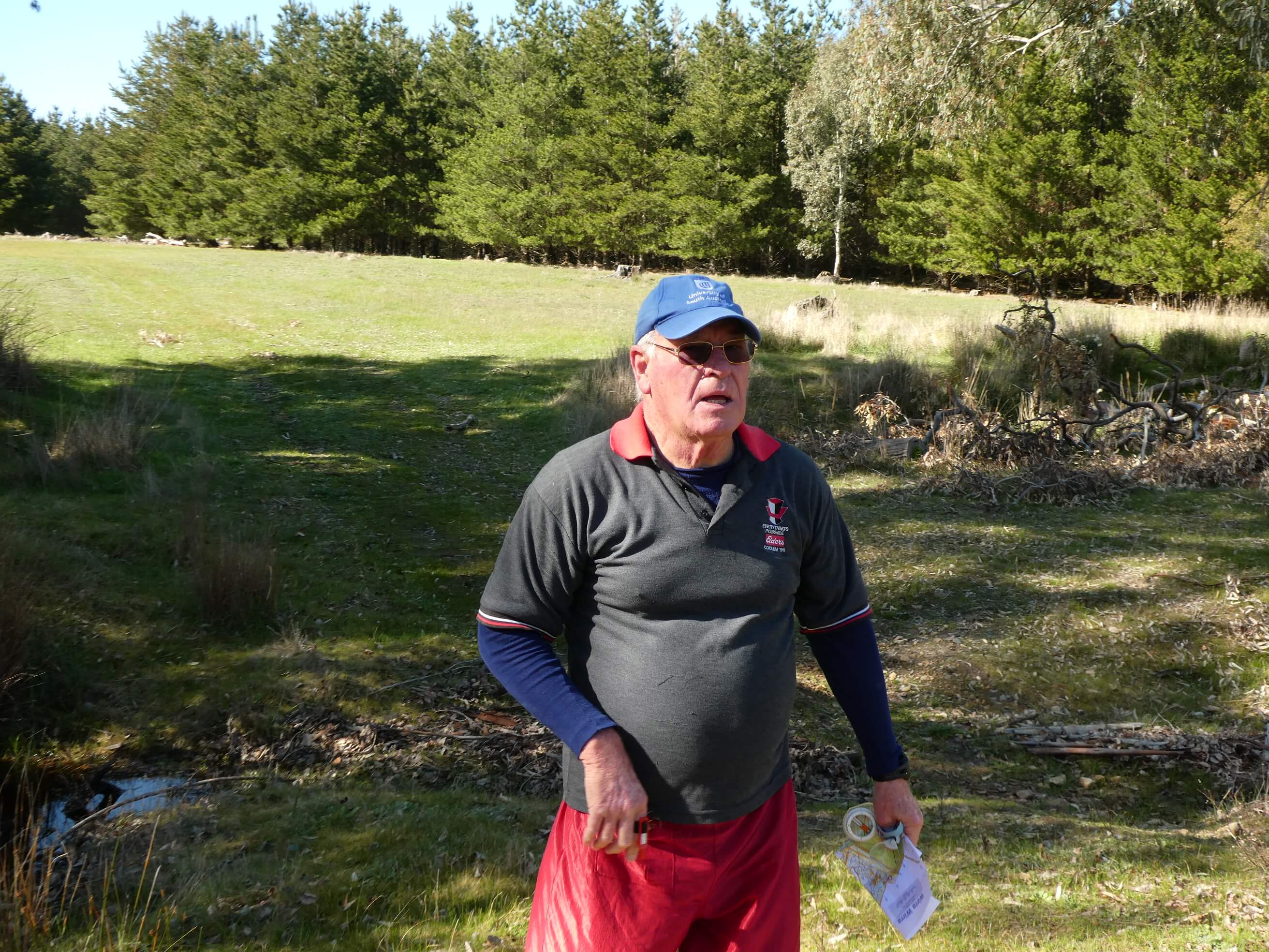
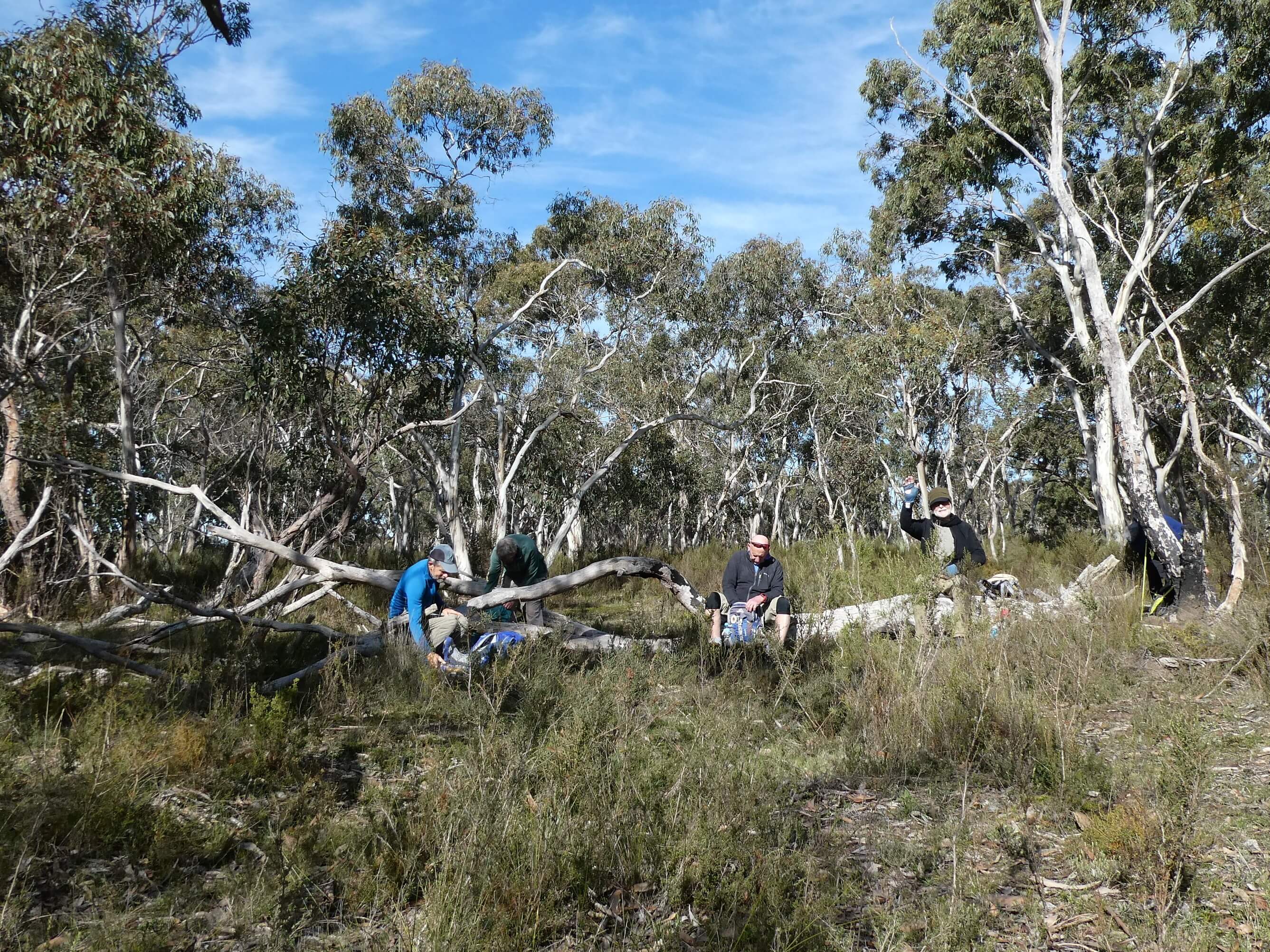
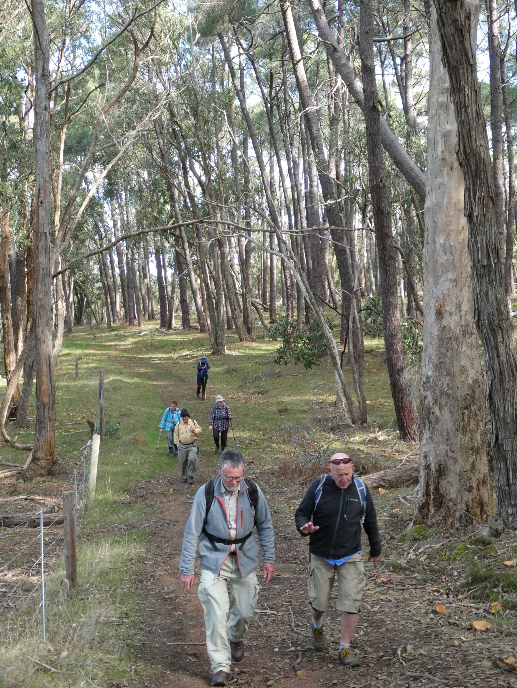
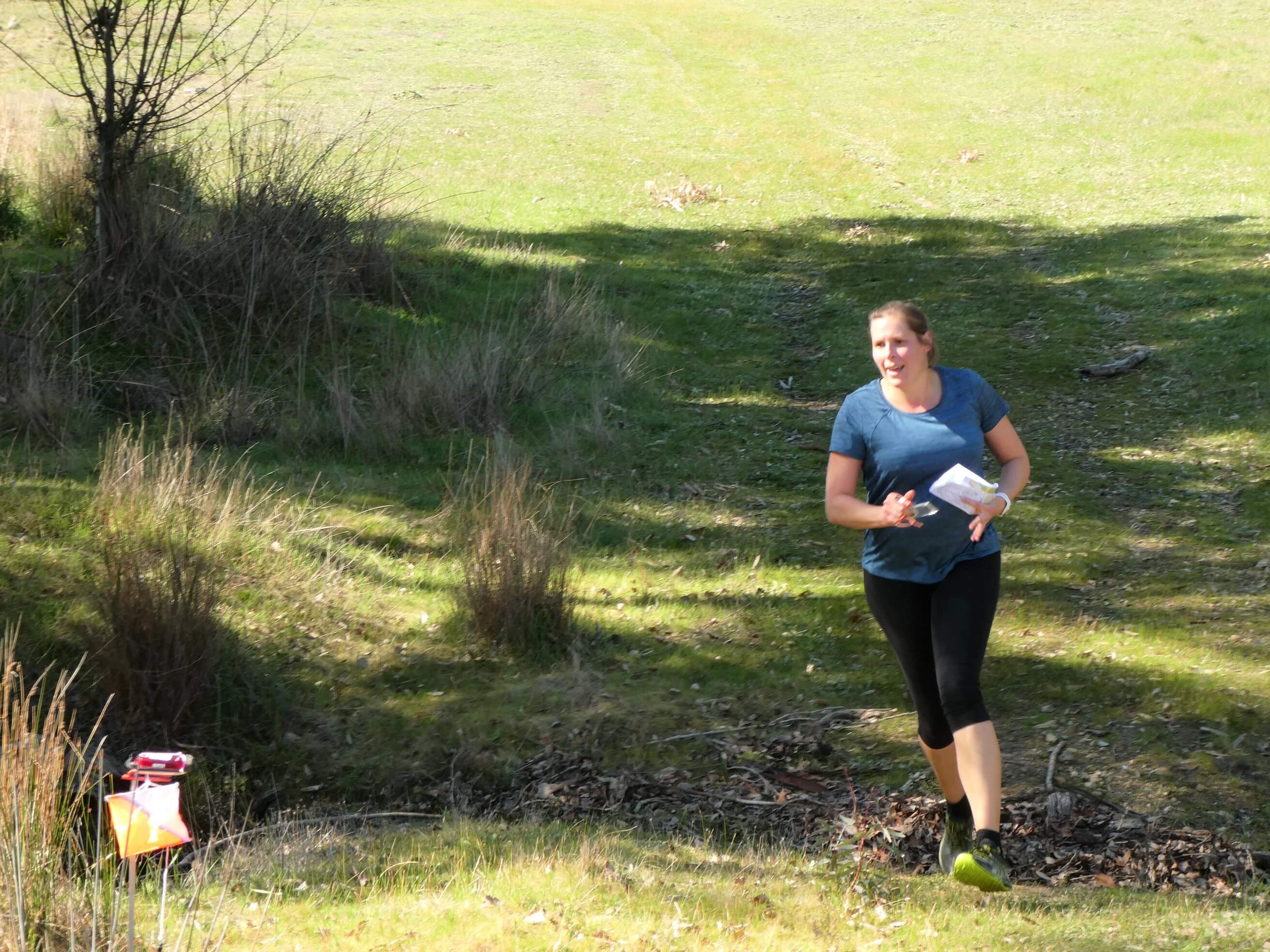
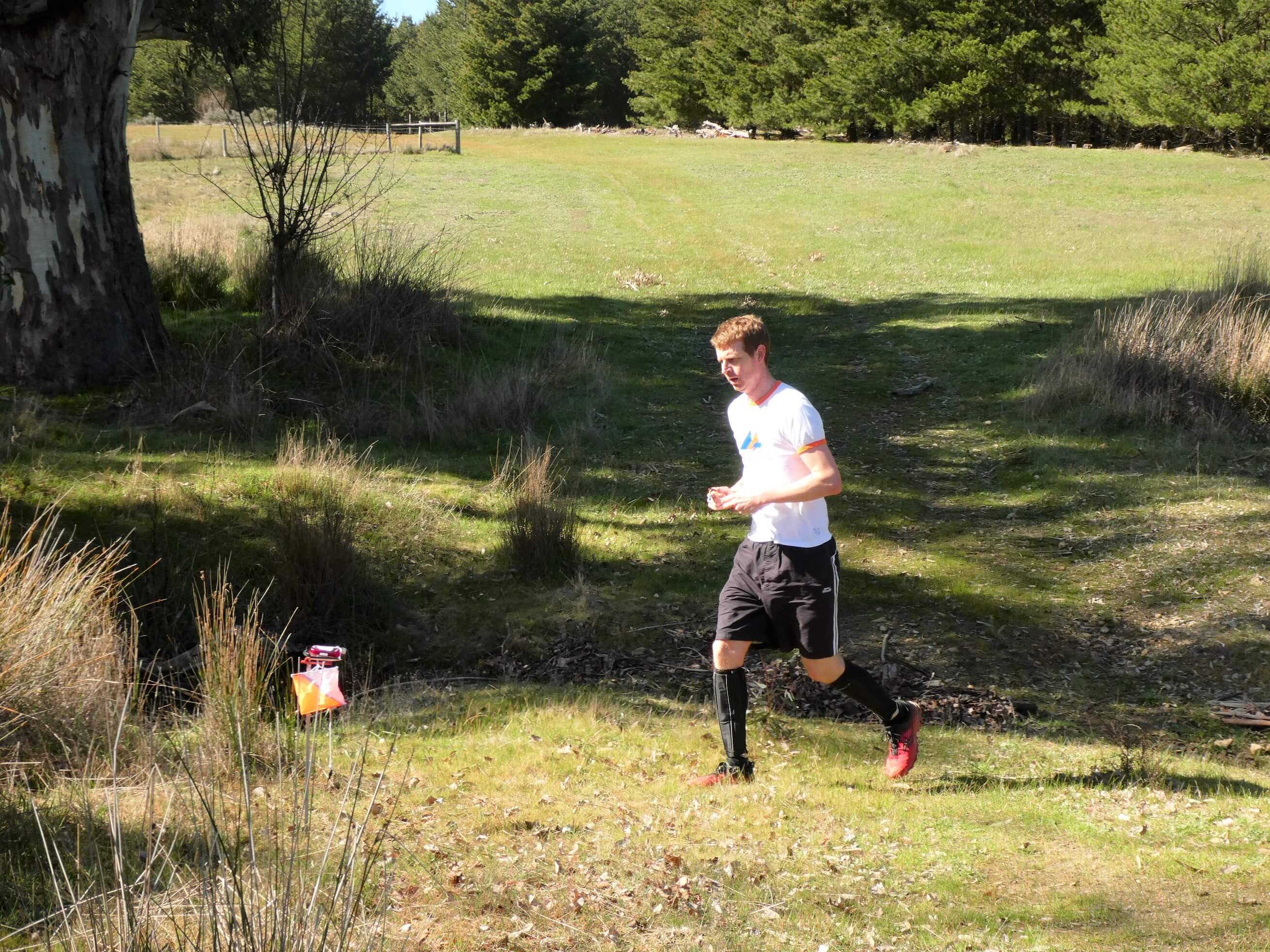
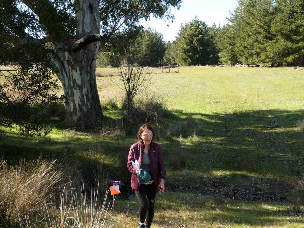
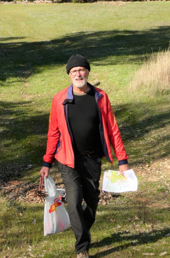
Everyone who arrived and went out on a course came back. This is always an excellent result.

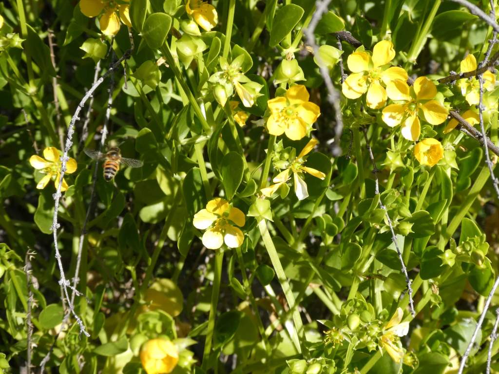
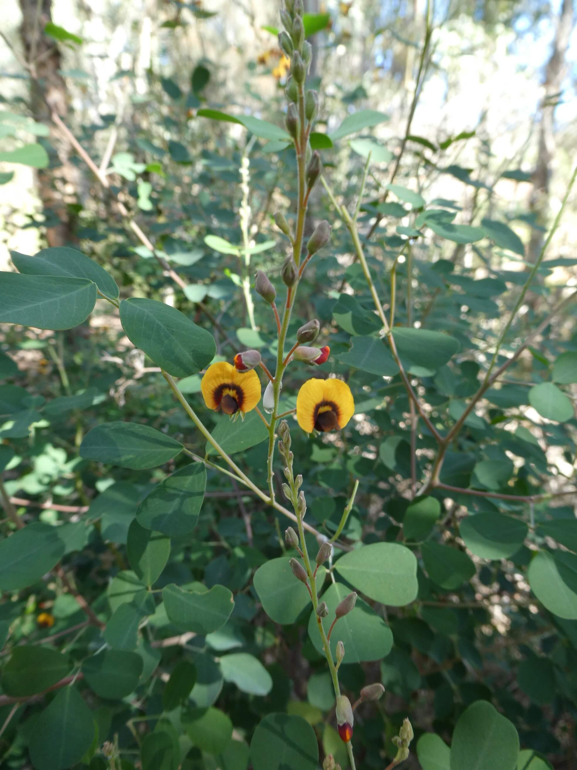
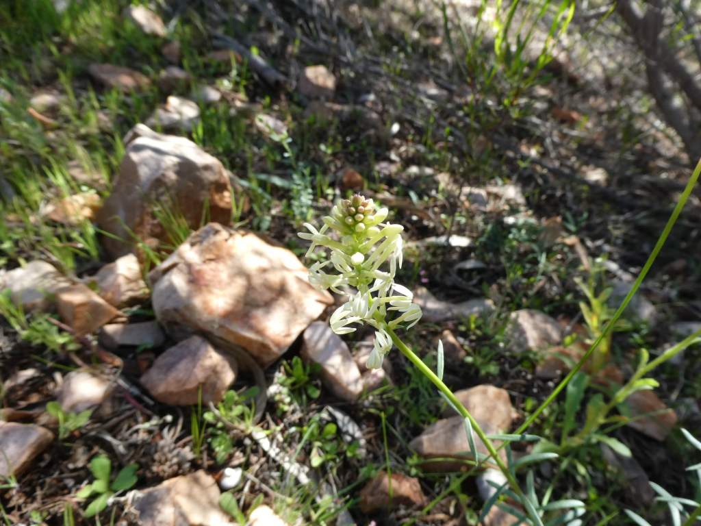
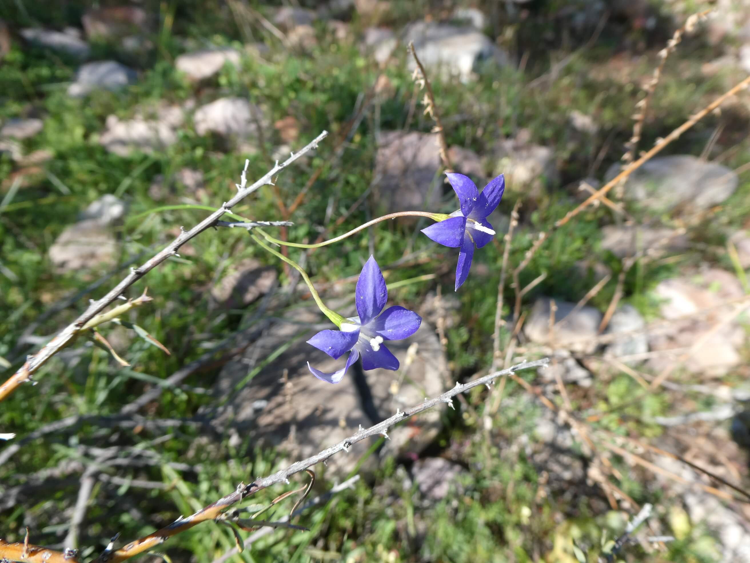
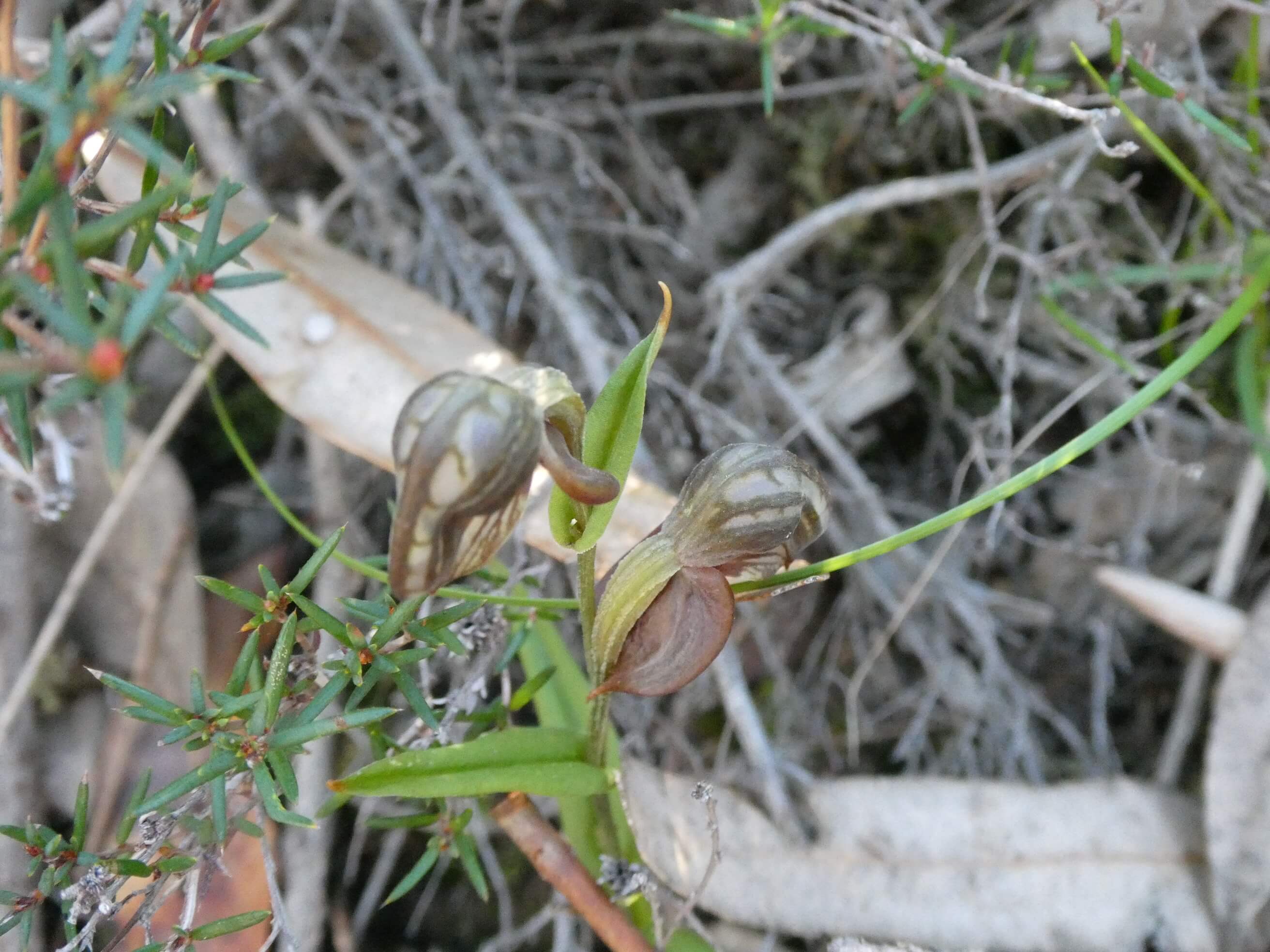
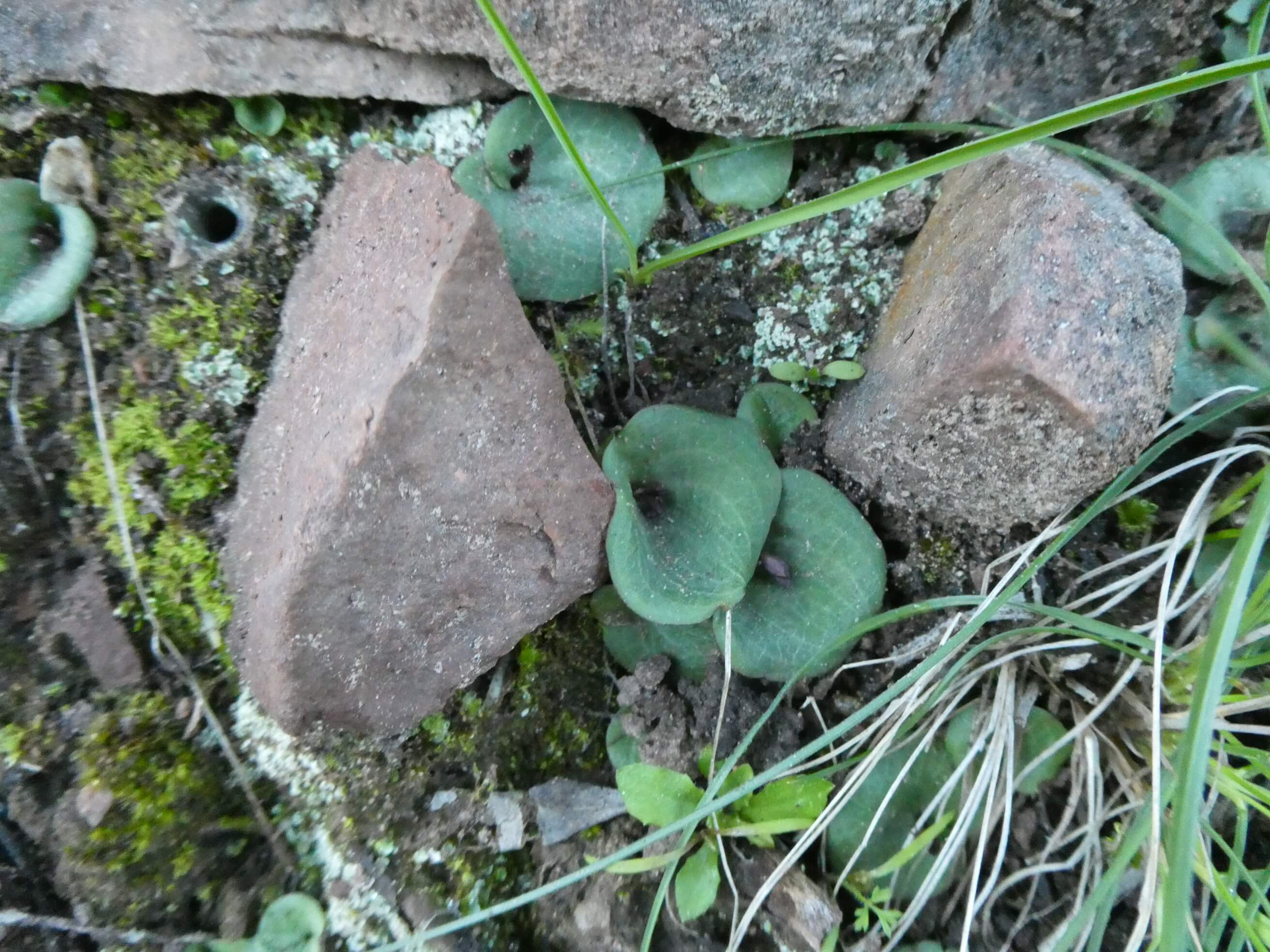
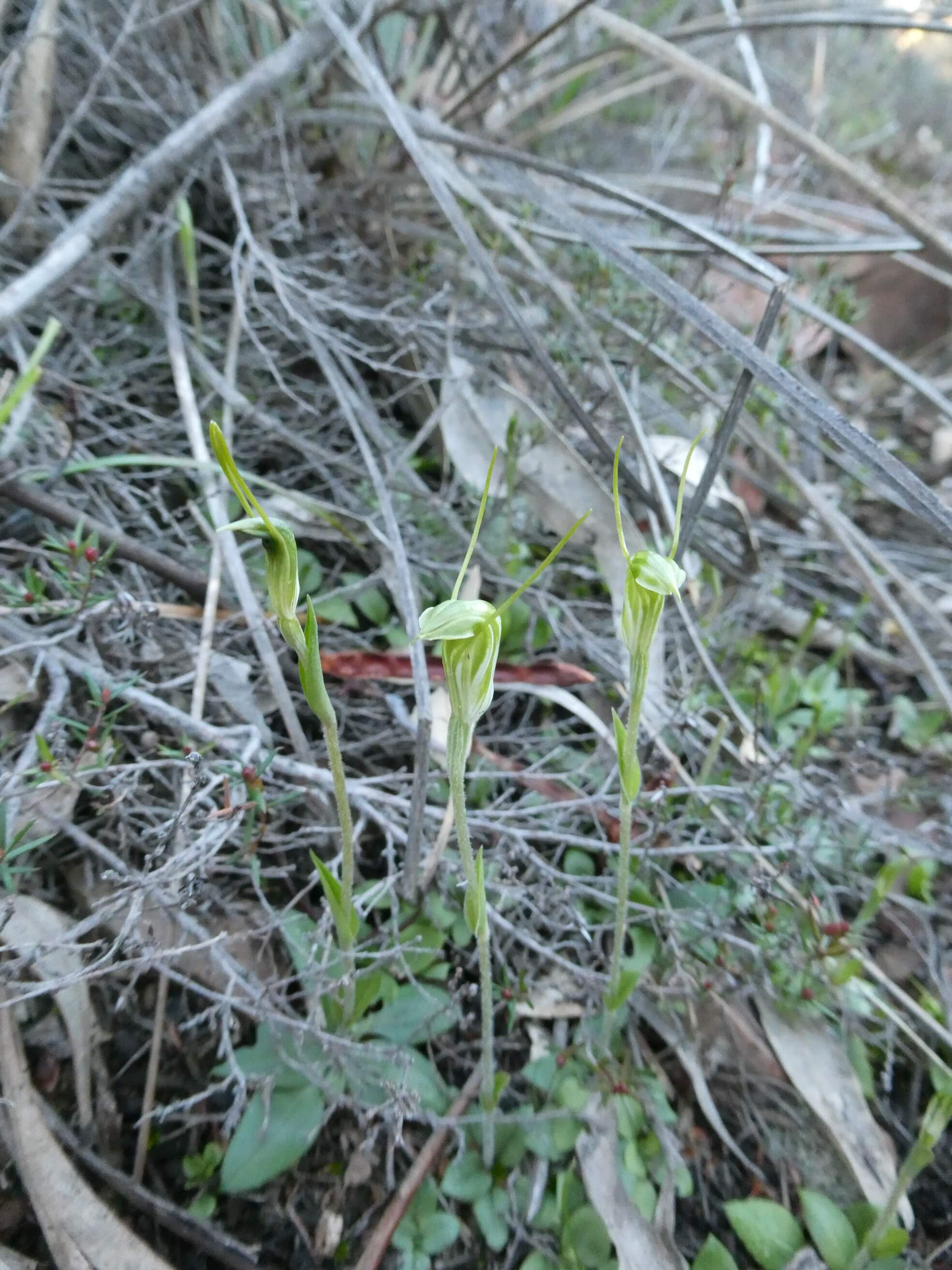
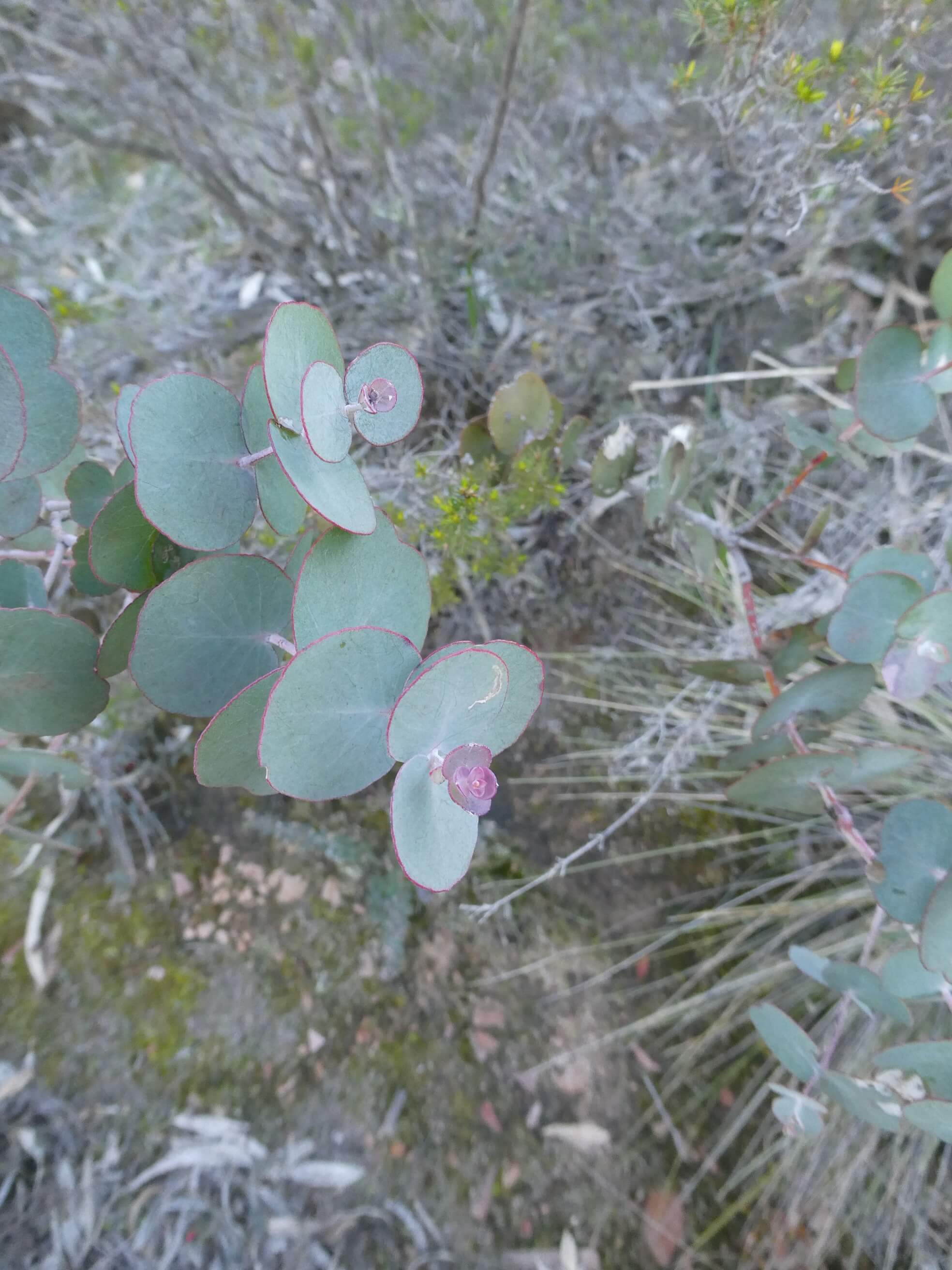
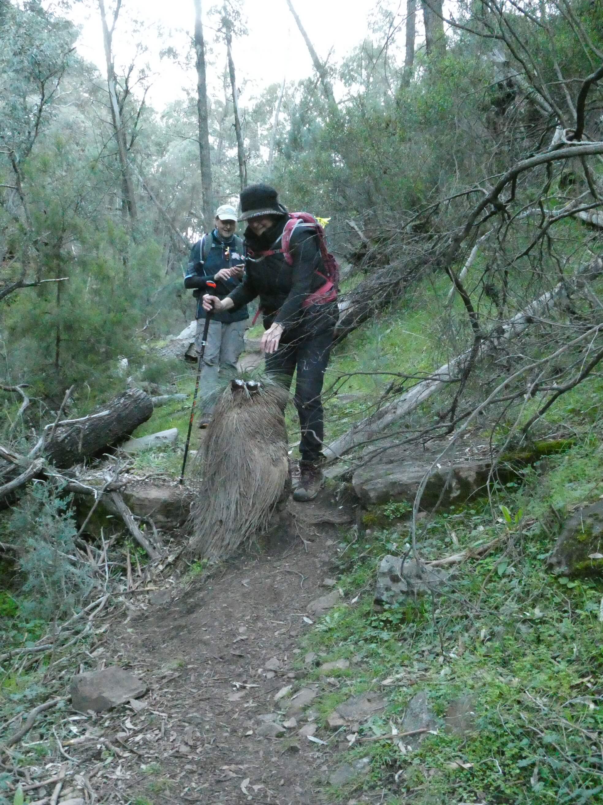
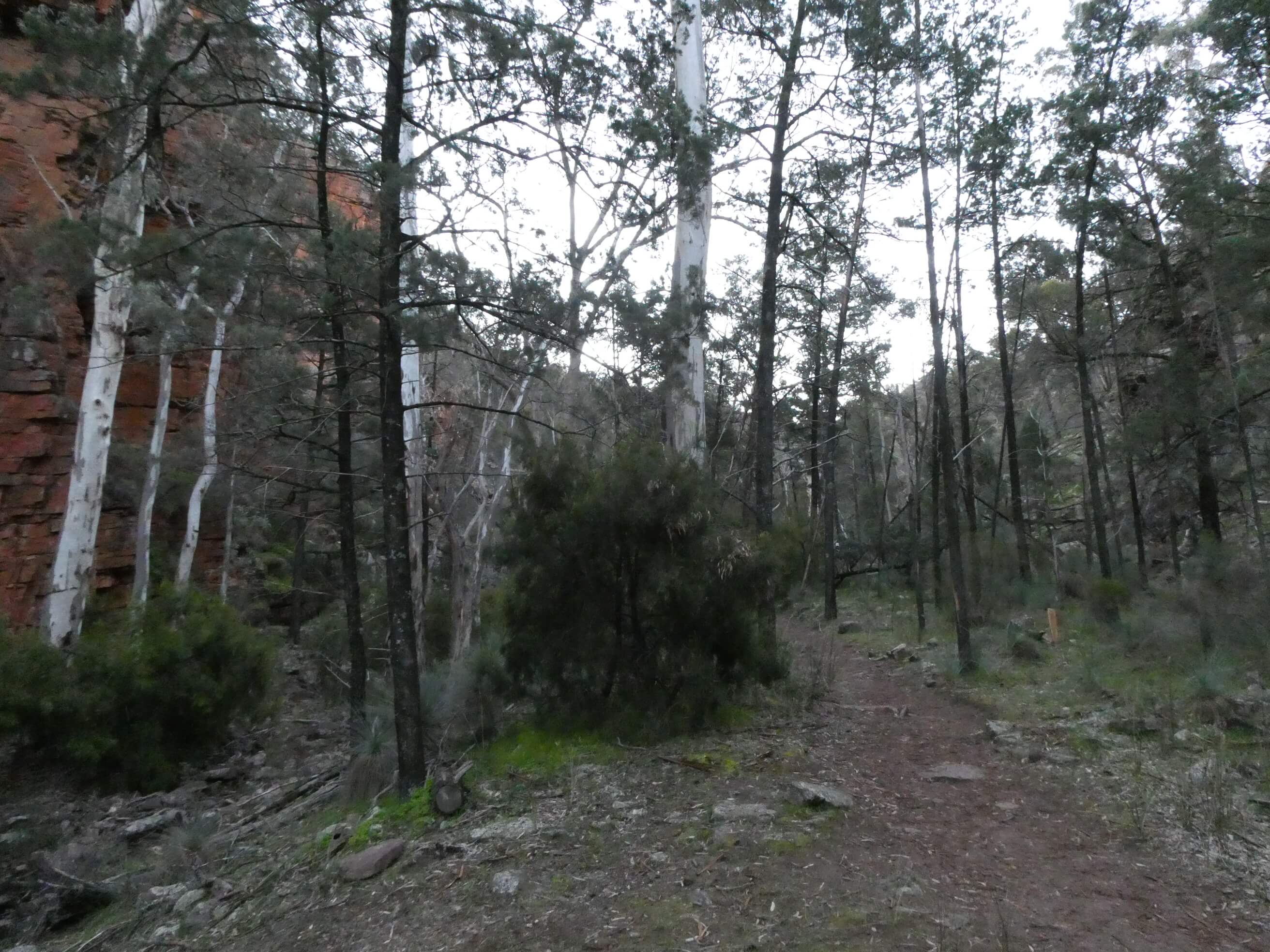
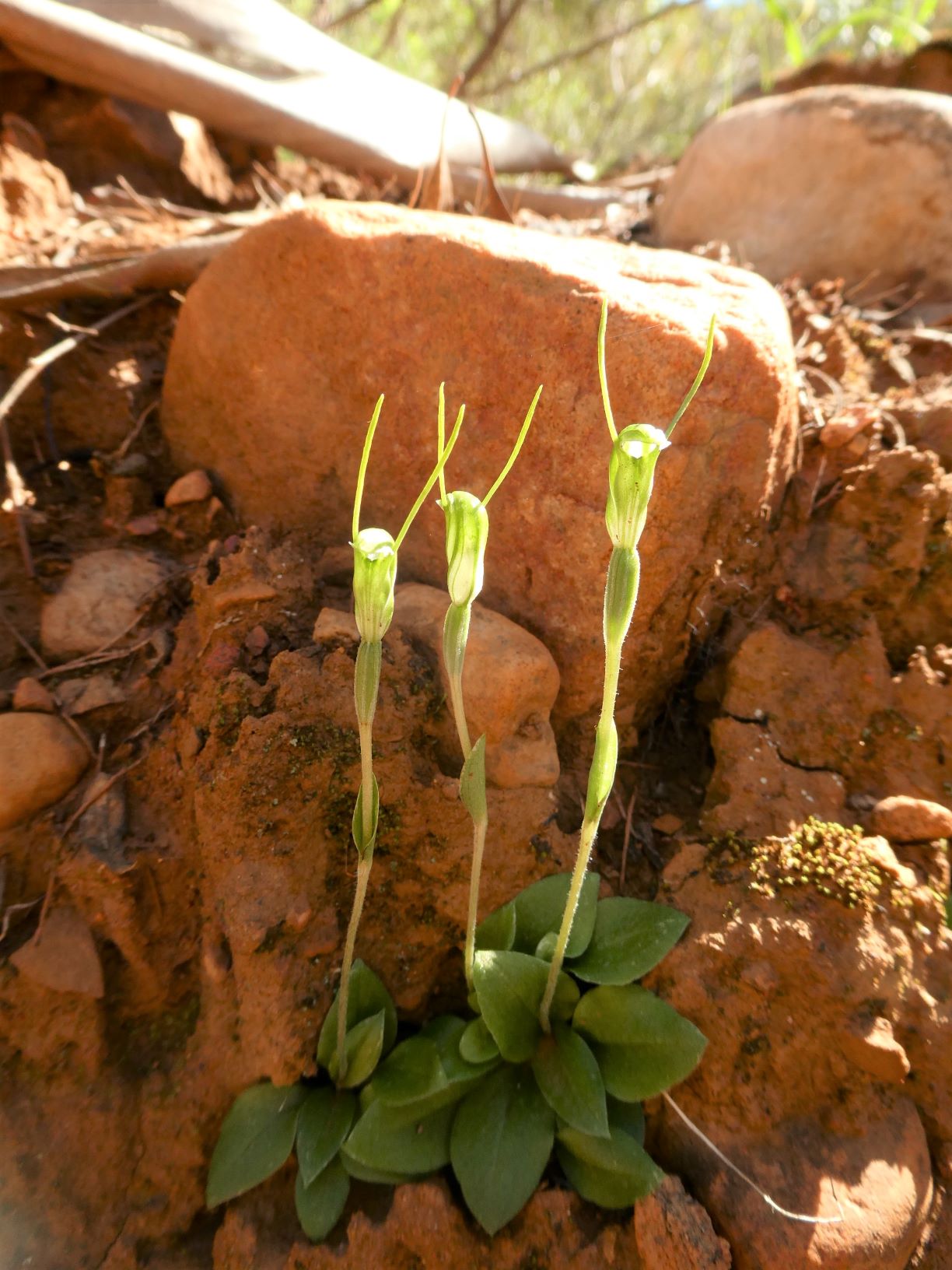
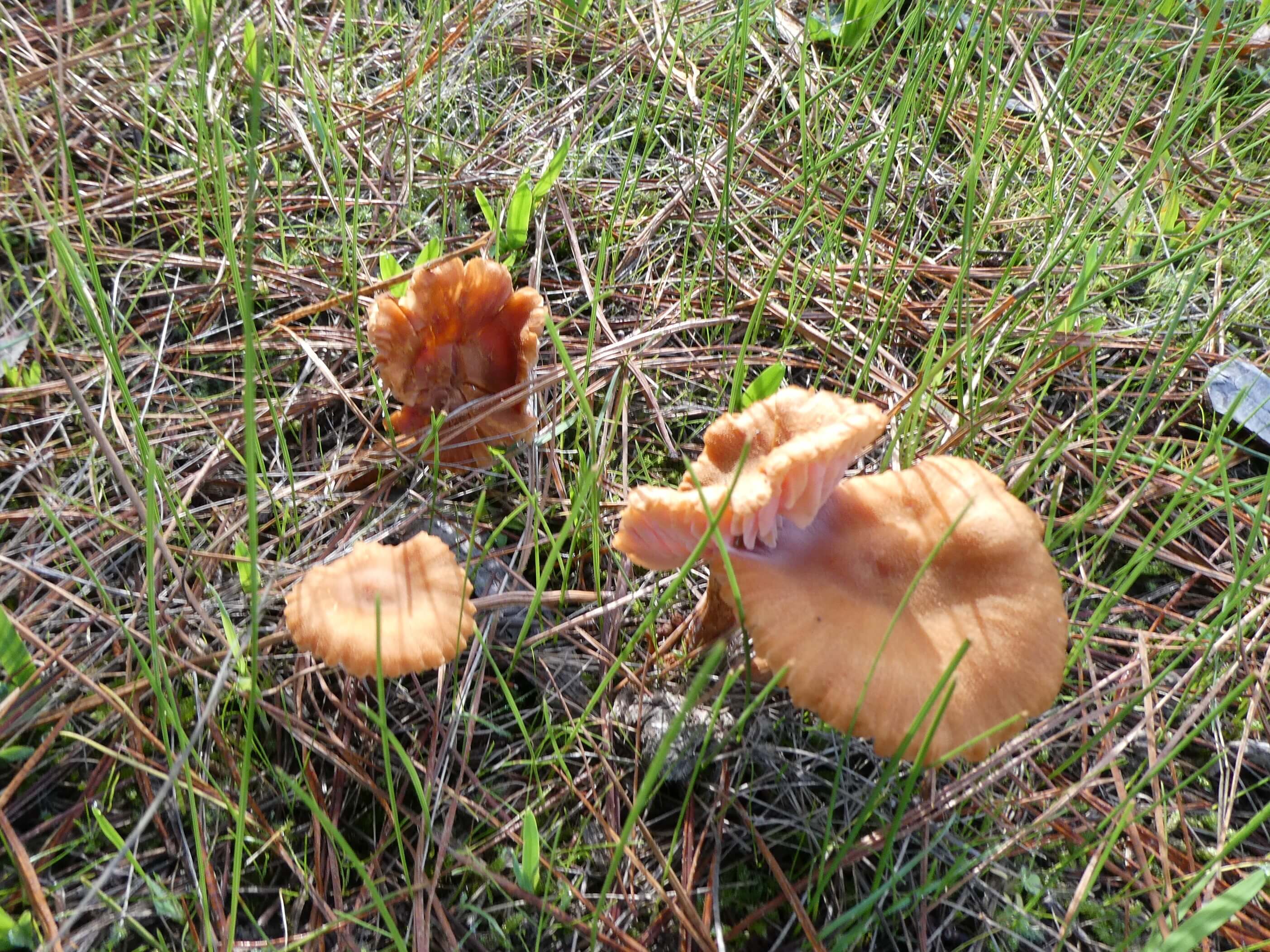
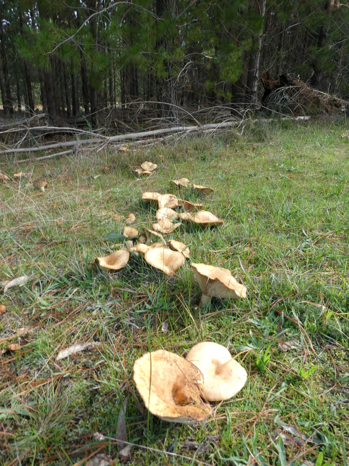
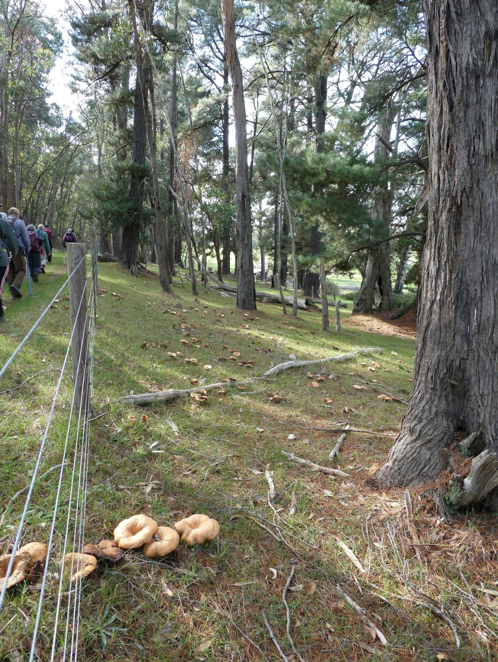
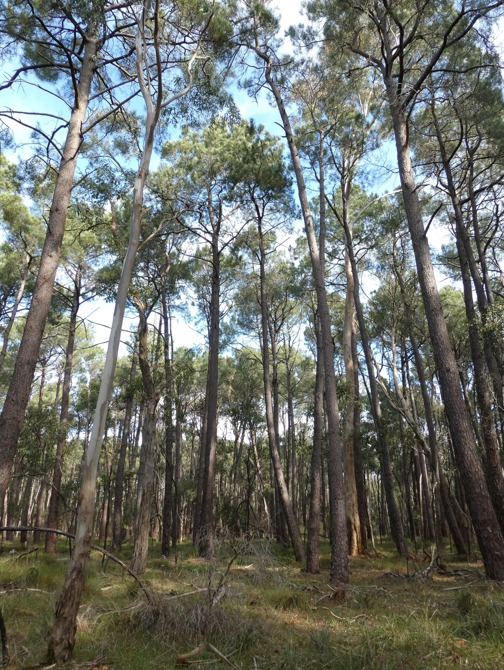
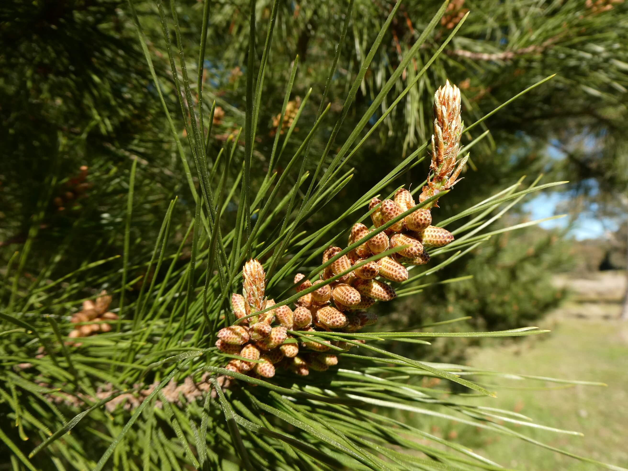
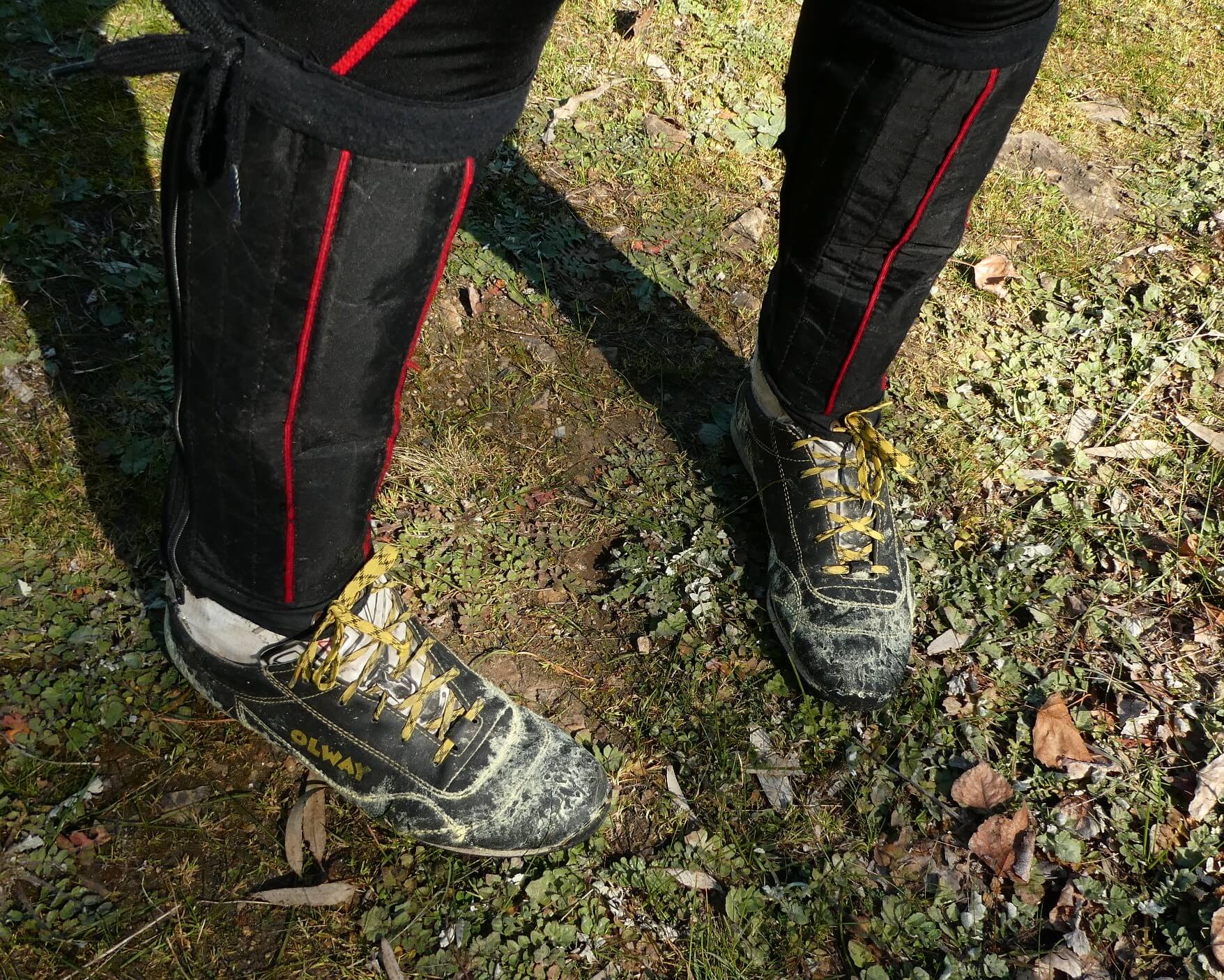
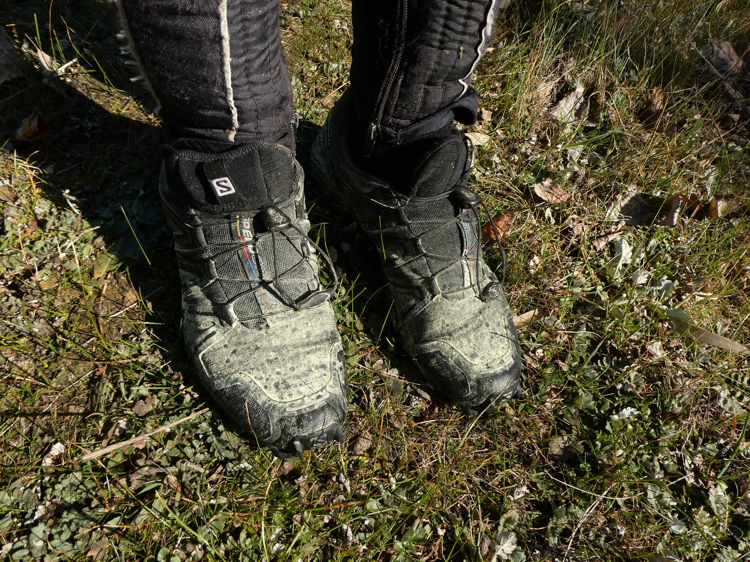
The pines were flowering and the pollen was all over the place.!! We all came back from the forest with yellow powder on our shoes.

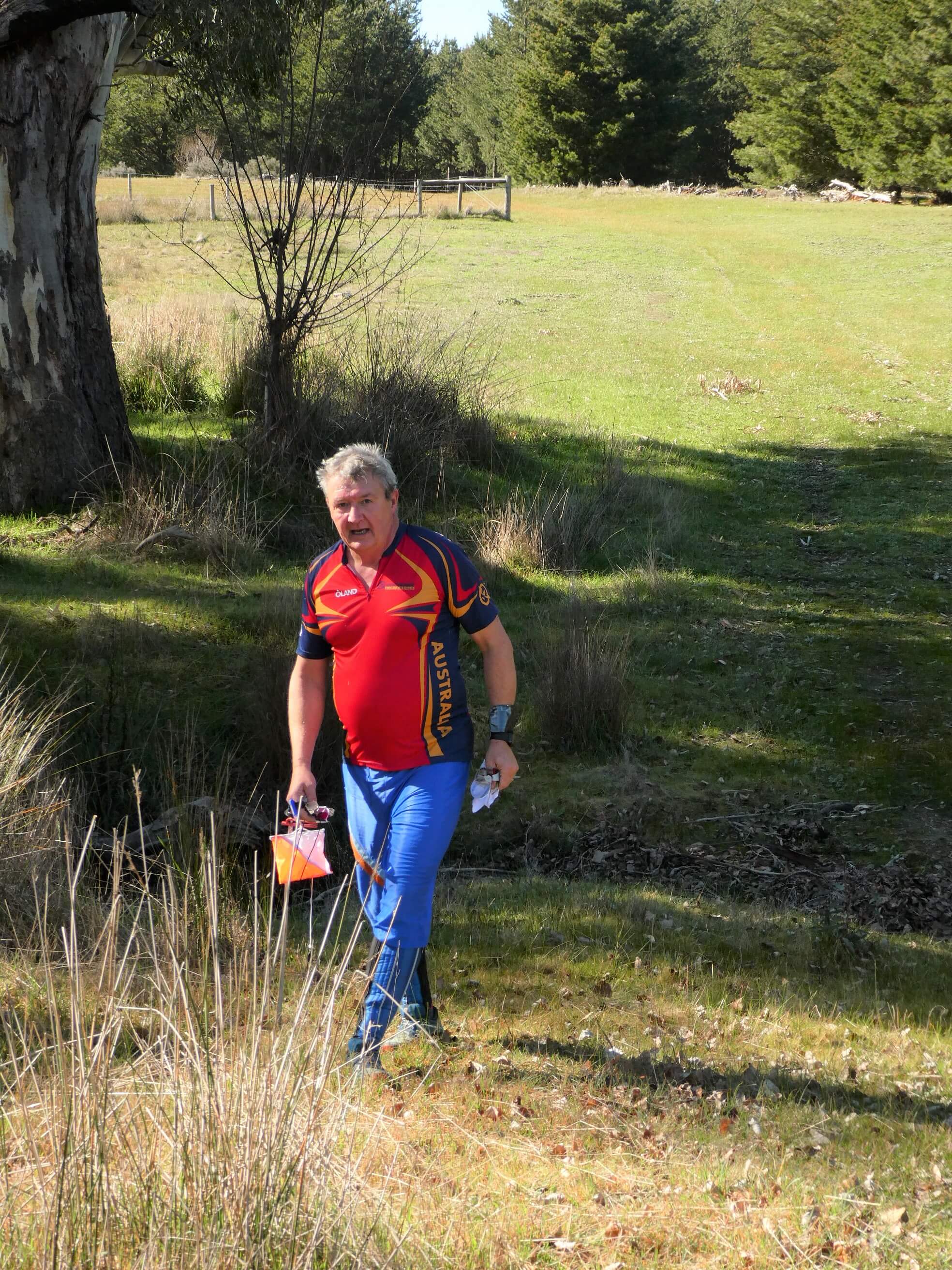
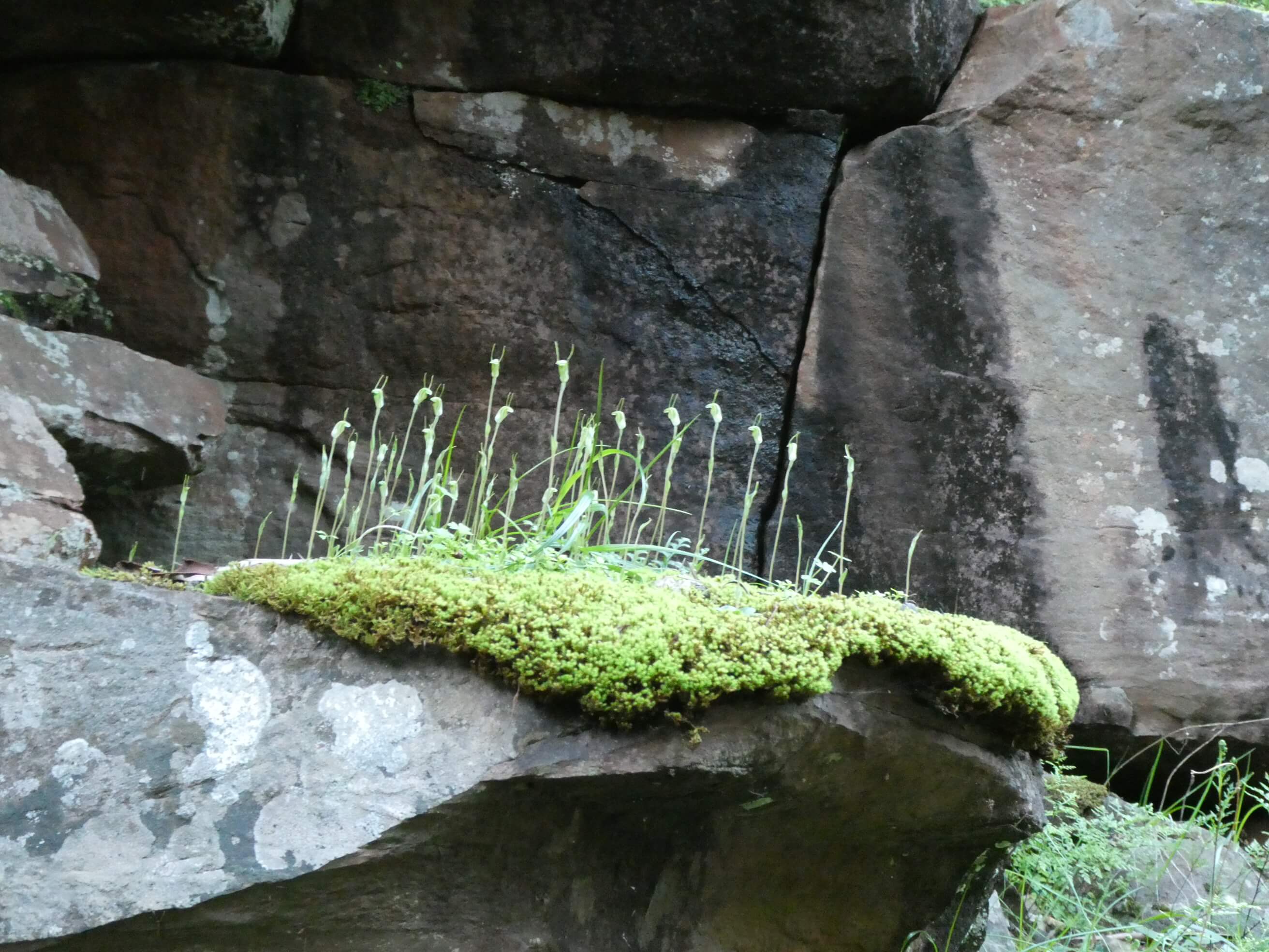
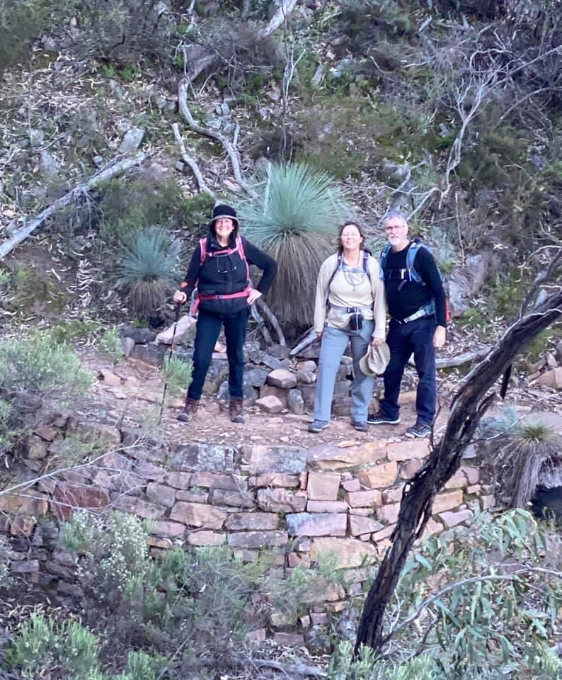
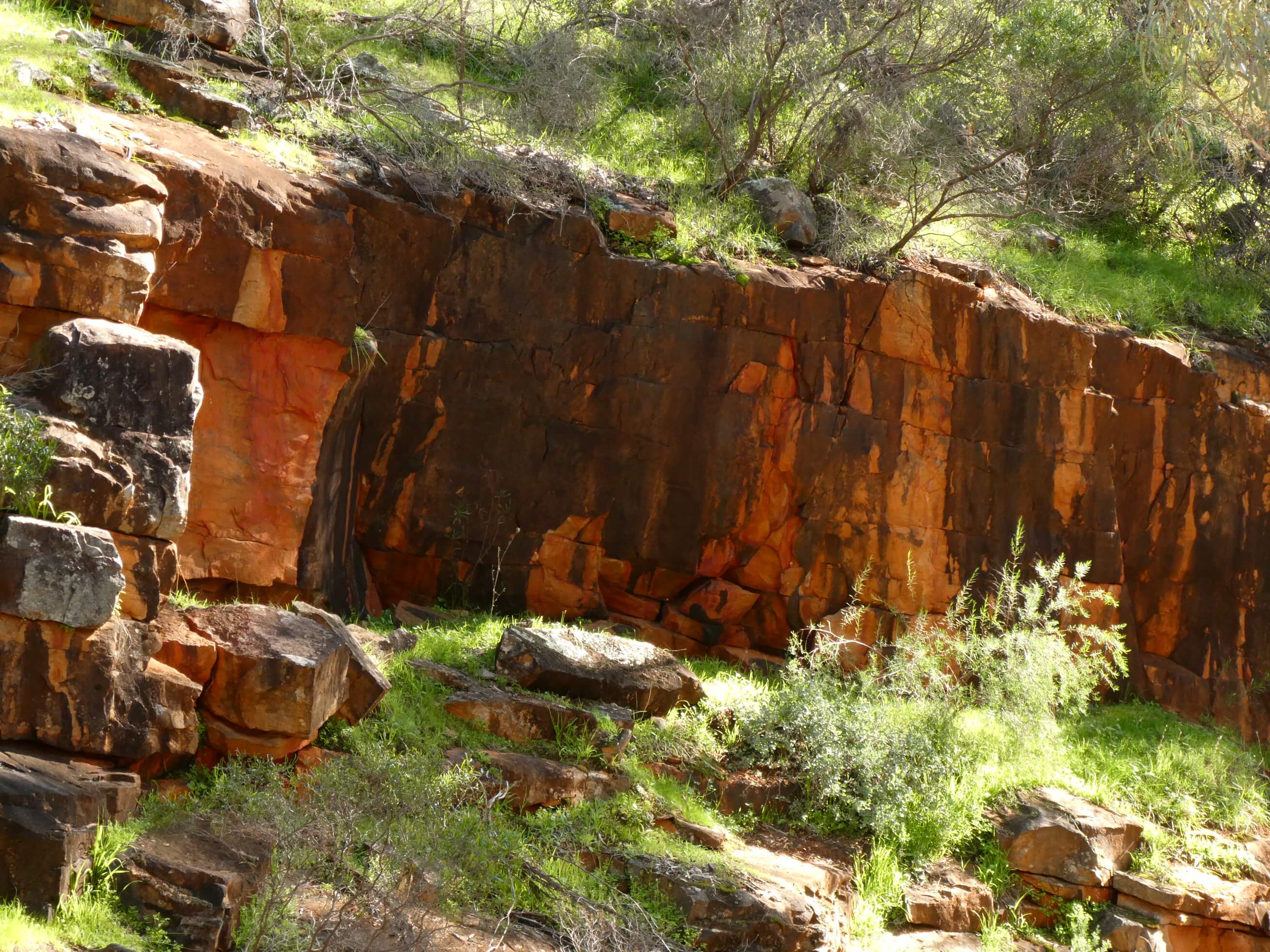
We were glad that the courses were found not too easy and many met a challenge or two along the way. A few tips were exchanged, and route choices were a hot topic for discussion. Hopefully the training will be useful in our development. For the course setters it was also a learning curve as we looked carefully at the rock areas and discussed in depth what the different markings on the map were actually representing.

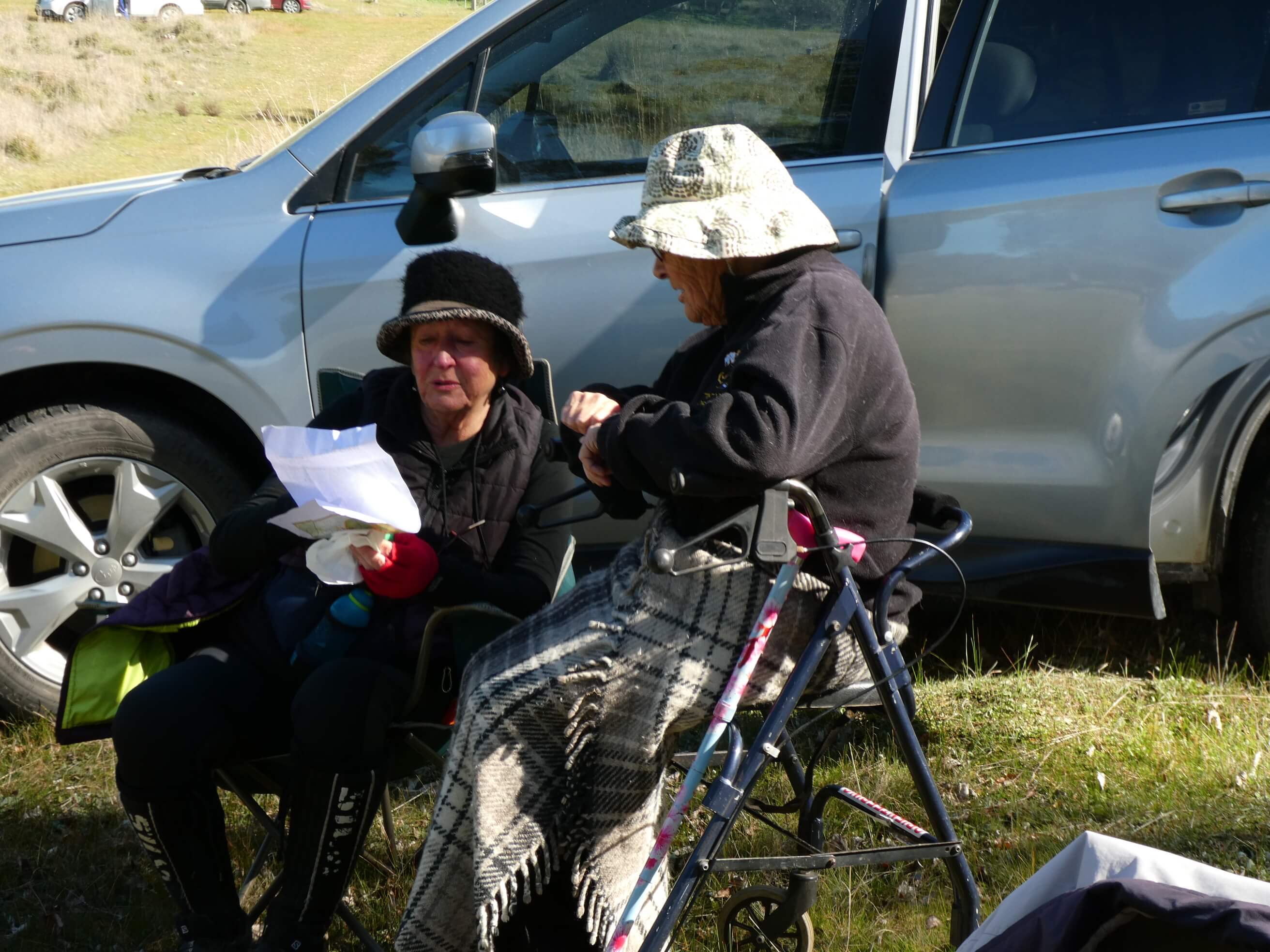
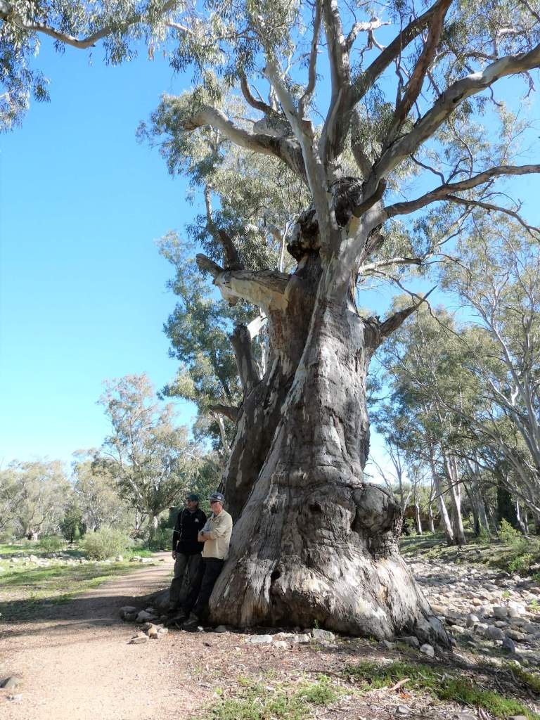
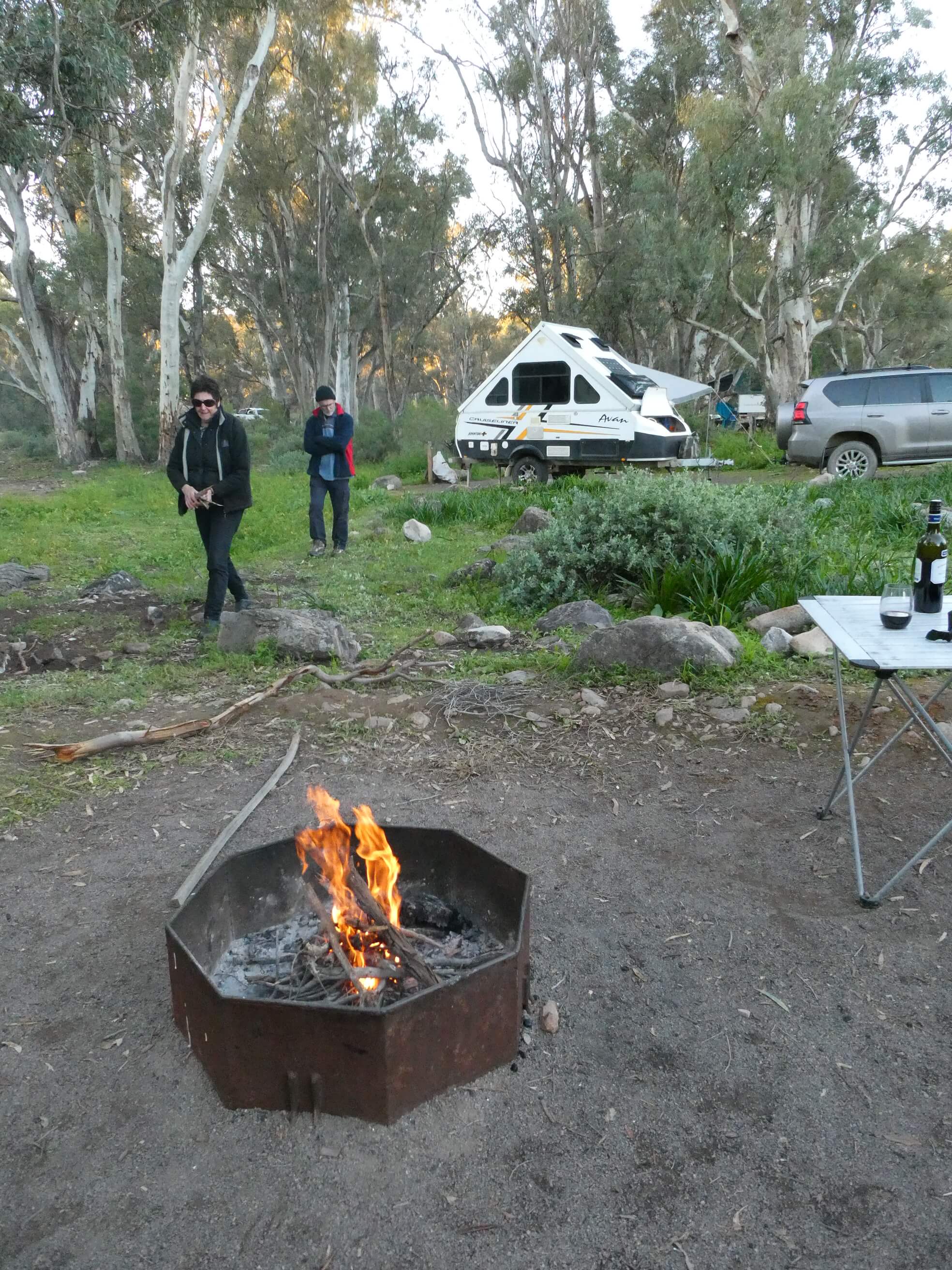
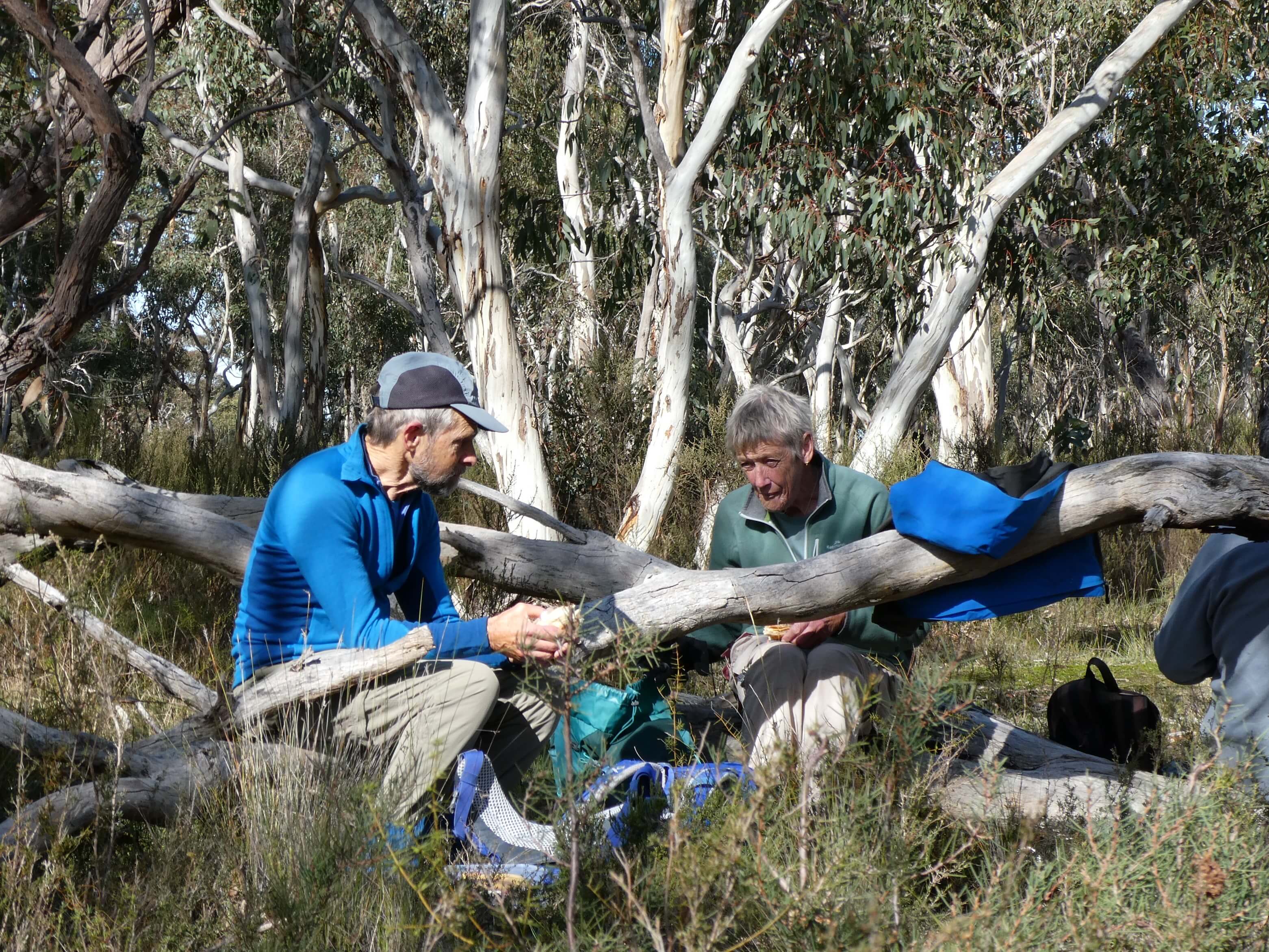
It was excellent to see Rachael and Peter, who usually work on weekends, so find it hard to get to events.

It was also really great to see the Milners back (Jill and Chris) with us.

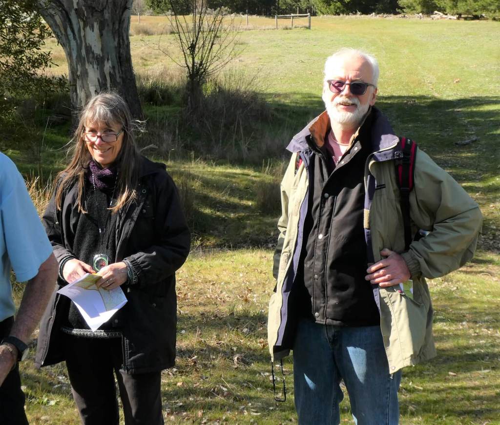
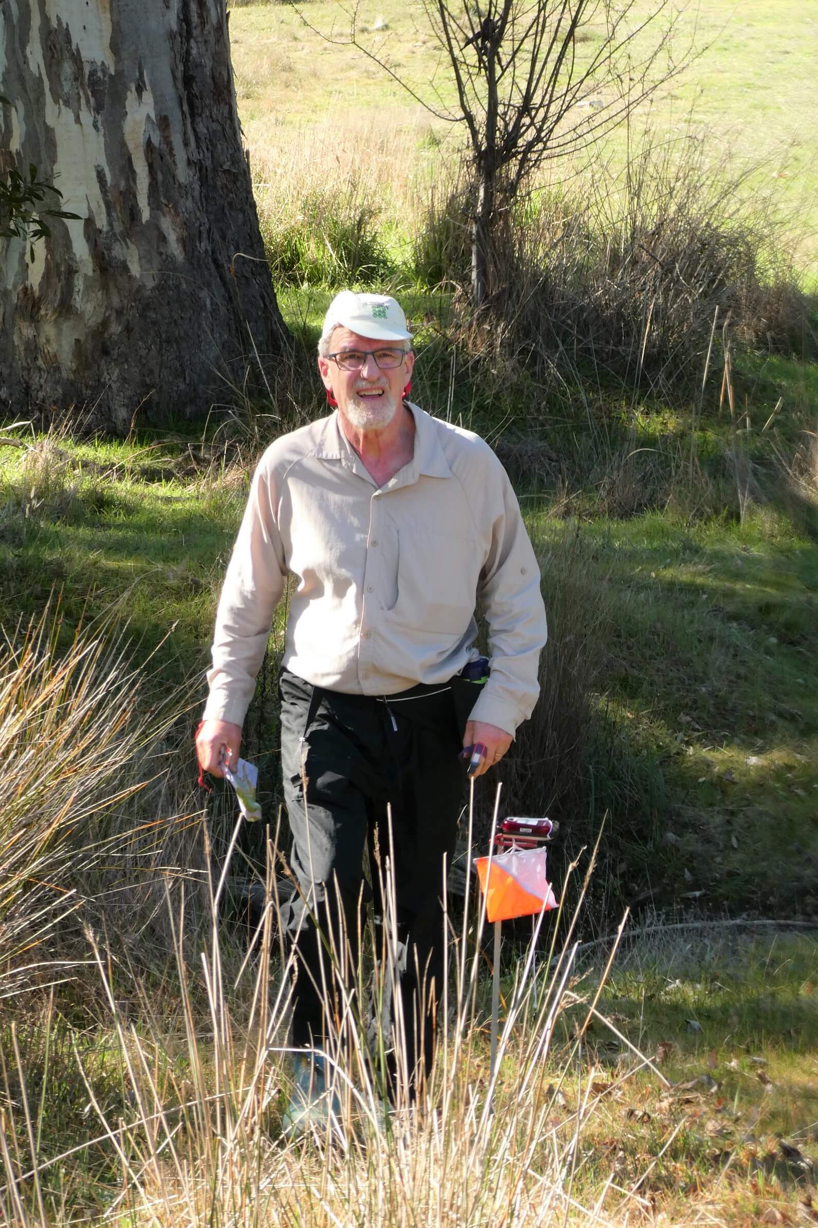
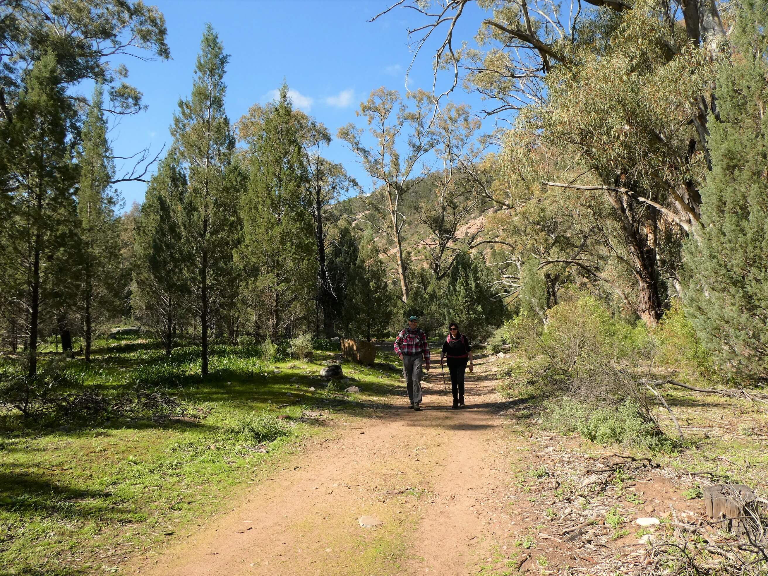
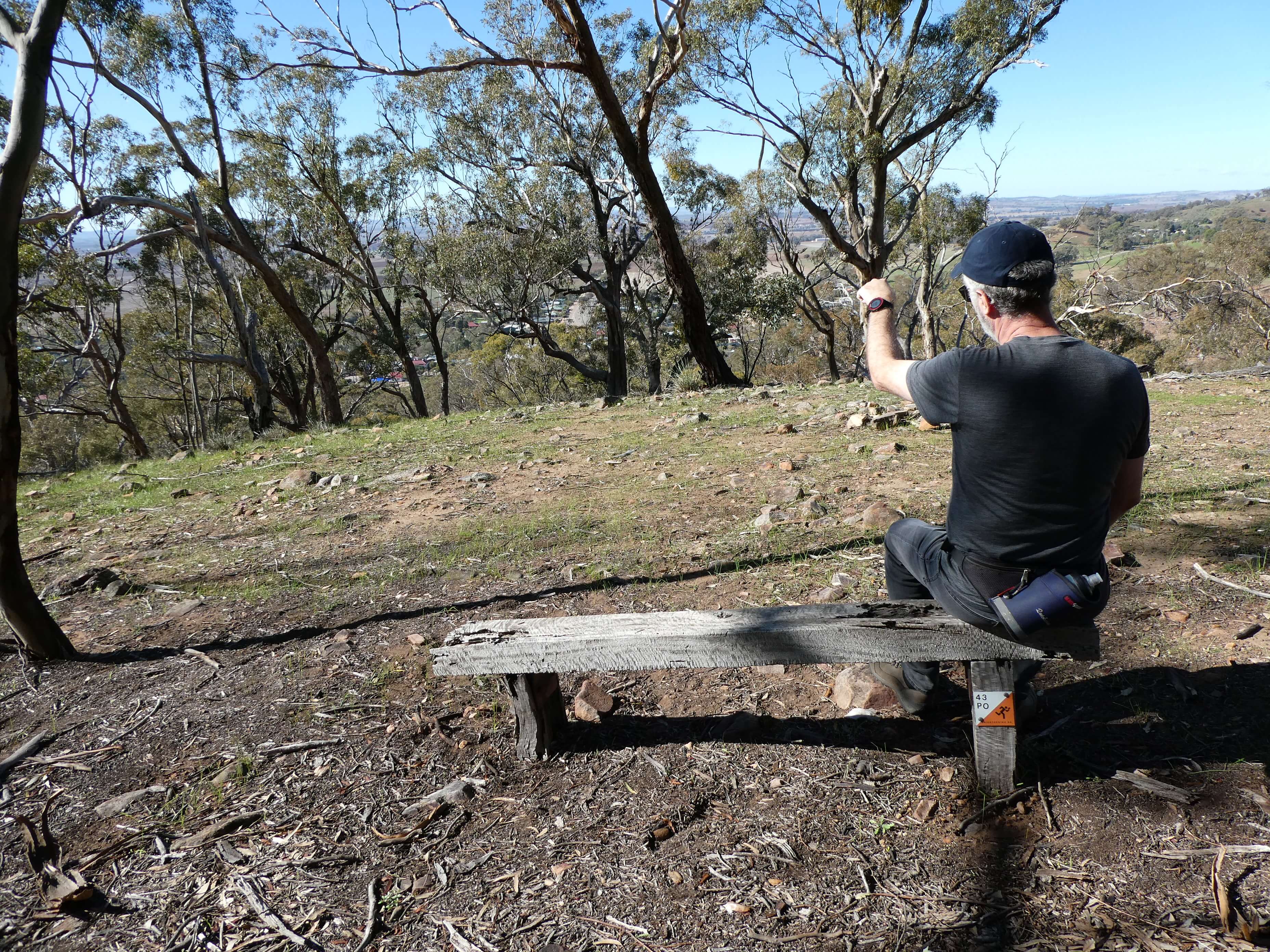
Welcome too to Nigel and Leila who are “practicing for retirement”. Nigel was too fast to catch with a photo.

To be with our special orienteering friends again is always a treat for us.

Thanks to everyone who came out, gave encouragement to the setter

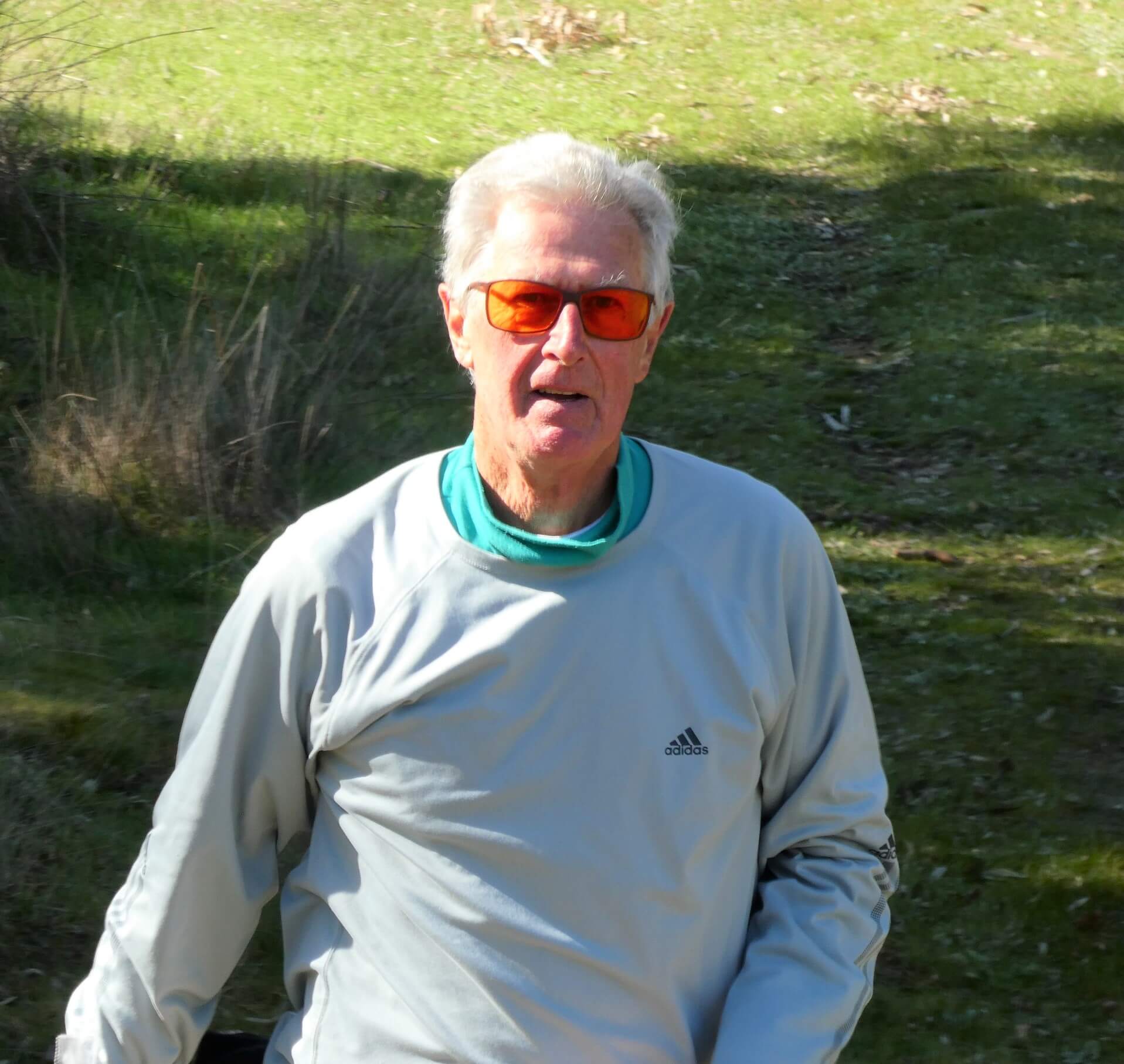
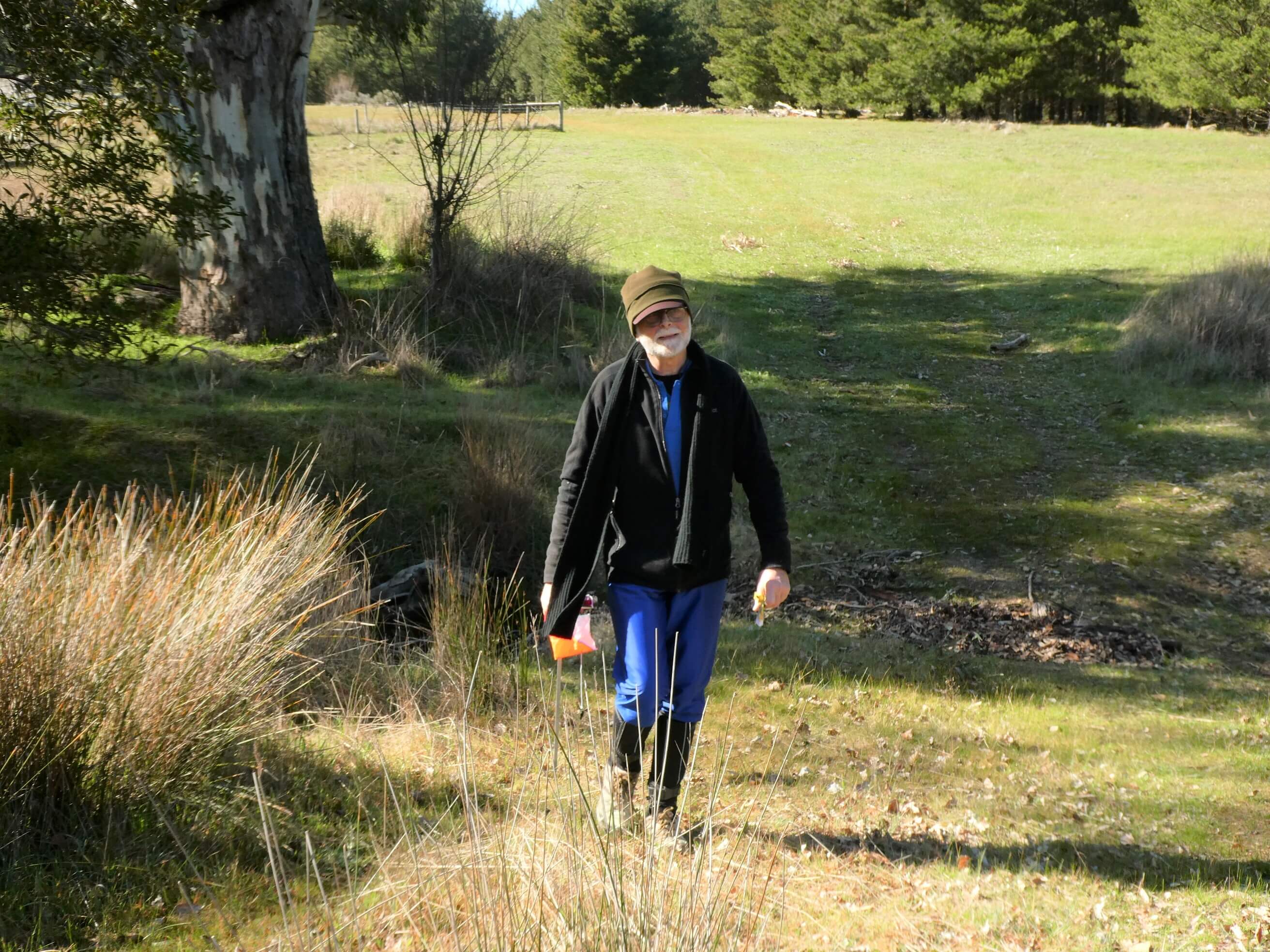
and made the work worth it. Twenty-four people was a great turn out.

Thanks to David, who has put the course up on to route gadget so that we can all upload courses and learn from the choices that others made. I encourage you to do this and to get in the habit of reviewing your run and self critiquing. Make notes on your map. Where did you go? What did you do well? What did you try that didn’t work? Why didn’t it work? What have you learnt for next time? Is there anything that you could do to improve your orienteering?

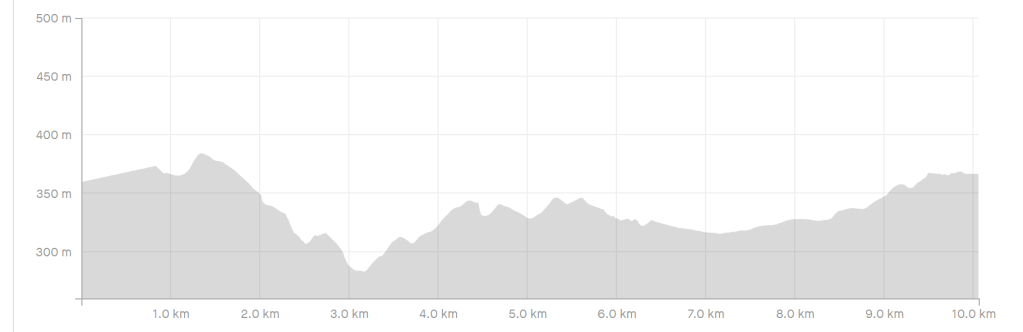
This is a training event, so results don’t matter, but results were:

Long Course

Clive Arthur 50:15

Marian Arthur 63:58

Peter Ashforth 45:24

Nigel Dobson 41:32

Robin English 50:18

David George 32:51

Leila Henderson 62:16

Peter Kreminski 65:56

Doug McMurray 76:01

Ruth Nicolson 83:10

Mark Overton 36:52

George Reeves 72:19

Al Sankauskas 56:32

Bob Smith 40:00

Peter Thorpe 62:31

Rachael Upton 55:46

Andrew Waterman 72:03

Chris and Jill Milner 130:40

Dave Nicolson 56:33

Short Course

Olivera Waterman 70:24

Paula Ashforth 54:02

Zita Sankauskas 57:51

John Lyon 65:51

Daveys Gully Hike at Mambray Creek

24/7/2020

We were looking for a shortish walk to do at Mambray Creek before heading off for a drive later in the day, so opted to try out the Daveys Gully Hike, which came highly recommended.

It is posted on the signboard as being 2.4km long from the day use area. We walked from the campground, adding a bit to the length of the walk, which was a lovely stroll along the creek and gave us a chance to enjoy the giant red gums.

The hike took us through a variety of landscapes and to some excellent views of the gulf.

On the way up the creek to start the walk

The track is narrow (one person width) for most of the walk.

We were delighted with this view of our campsite. (our 4WD, Al and Zita’s A Van)

We enjoyed the variety of flowering plants on this walk.

I think this is a spider orchid bud.

The smell of saltbush hung in the air for most of this walk. The saltbush is lovely and green and the sun was shining. It was a really delightful fresh smell.

Salt bush with berries – sweet and fruity with an astringent finish.

We recommend this short hike. It doesn’t have too much climb and it really does offer a cross section of the offerings of the area.

That is the last of our posts for this trip. We encourage you to get up there and enjoy it for yourself if you can.

Driving on the Bridle Track in South Australia’s Southern Flinders Ranges.

24/7/2020

The Bridle Track is one of our favourite roads in SA. When we can, we choose to take it in preference to the bitumen. It offers 19km of jaw dropping views for those who are willing to open a few gates and take their vehicle off road.

Taking the route from East to West means that you have outstanding views along the coastline from high up. On a fine day it feels as though you can see forever.

When we drove the route with friends last week the clouds were hanging low in the sky, so the view wasn’t what it might have been , but it was still pretty spectacular.

How to get there

From Melrose take Survey road heading south out of town. There is a brown sign on the corner of Searle St (which turns into Survey Rd) and Horrocks Highway. Follow the road out of town for about 15km. Turn right onto the Bridle track and open the first of five gates.

The Drive

The track winds its way over the hills and gradually makes its way down onto the flat ground away to the west. On the way there are some challenging areas of driving (mostly caused by rutted track or rocky sections) which demand good vehicle placement. There are also a couple of areas of steep descent which allow for practice with using low gear, or the use of fancy “crawl” buttons on more modern four wheel drives. There are a couple of areas where the track comes close to the side of the hills, so not for the extremely faint hearted.

I love popping over the ranges and looking down at the flat land spread out below. At the moment it is a green patchwork with the crops.
The track winding away in the distance.
The view back to the East

We were pretty impressed with Al’s new Prado, which handled the track beautifully.

Gates

This is a public road route, but is across private property, so please respect the landowners who kindly allow access. Leave the gates as you find them.

Thanks for this photo of Trev at the last gate Zita.

On this visit there were sheep out grazing along the track in one section, demonstrating the need for the gates.

We also saw some kangaroos along the way.

Thanks for this Classic Aussie shot Zita.

Once again it was getting pretty late in the day by the time we were finishing the drive, so we had the pleasure of “the golden hour” as we finished our descent from the hills and made our way back to Mambray Creek campground via the Cattle Track.

I particularly love this area with many young Xanthorrhea which came up after the big fires a few years ago.
The sunset reflected on the clouds made lovely gentle colours.

Tonight we quietly toasted to the fact that we are free to enjoy these amazing places and are still able to do so.

Alligator Gorge and the ring route hike.

23/7/2020

Our aim on Thursday 23rd was to walk the Alligator Gorge ring route hike , which takes you through The Narrows and then loops around to come through the Terraces. The walk starts at the Alligator Gorge carpark (accessed from the road just past Wilmington). Turn in on the Alligator Gorge Road just opposite the Beautiful Valley Caravan Park and follow the road for about 6km to the parking spot. Make sure that you have paid your fees on the way in. It is too late once you get there due to poor phone reception.

The Walk is signed as being 7km long and taking 4 hours. Knowing that Parks are always very generous in their estimation we figured that the four of us would chew that walk up in much less than the stated 4 hours (even with photo time).

We certainly used up a bit of photo taking time with the magnificent ooh and ahh views we saw on the way, but that doesn’t explain why the walk turned out to be 10.5km long!! It was a pretty tough 10.5km too, with much rock hopping and some notable climb involved.

We had already decided on the walk that we wanted to do, but had hoped for an earlier start. After a late potter around camp, and then a long stop at Hancock’s lookout and then the local pie shop in Wilmington (who could resist), it was already past 1.30pm when we started our walk. We knew that 5.30pm was sunset, and last light was around 6pm, so our window of opportunity was really around 4 hours to be safe, with a little bit of wriggle time. No worries.

We headed down the steep steps into the gorge, and decided to take the walk in a clockwise direction due to the direction of the sunlight- hoping to get the best of the light on the rock as we walked. It wasn’t long before the cameras were out and we were trying to record the beautiful red rock faces and water pool reflections.

The rock towers up from the gorge, and the water gently flowing through, or sitting in pools was just fantastic. It really was a great time to be doing the walk, as there was no need to get our feet wet (quite) but we could enjoy the water being there.

The Narrows offered many and varied views which were greatly enjoyed by all of us.

Then we were climbing out of the gorge and working our way along a narrow track , which turned into a wide vehicle track. We hiked past the day picnic area before turning again and starting to walk uphill. It wasn’t until now that we started to see native orchids, and it was just as well that we did , as they helped to take our mind off of the ongoing climb.

The long and punishing hill went for some km, and we stopped part way to have a bite, drink and rest, before continuing on. We poked our heads in to the campsites along the way to check them out (for walkers who need to camp along the way).

Finally we made it to the turning point and were all VERY happy to see the sign pointing in to our right and to start travelling downhill on a very attractive single track section. This track must have taken a lot of work, with areas of rock support walls and even some “paved” surface in places. There were many orchids along this section and it was hard not to take the camera out too often.

Which orchid is that??? Thanks for this one Zita – It seemed like we did a bit of this.
Thanks for this Zita. It looks like we were happy not to be climbing a hill.

At last we reached the “Terraces” section down in the flatter gorge again, and knew that we must be nearly at the end of the walk. Unfortunately we were really in too much of a hurry to make it back by dark to really have time to appreciate this amazing spot, where , once again, the towering red rock walls surrounded a gorge of rock with water running through. Many caves are apparent here and we wondered about how they have been used in the past. Here there was a tougher task of finding a dry route, with more stepping up and down. Our leg muscles knew about it in the next couple of days.

We arrived at the base of the steps with still enough light to see clearly, but by the time we were all at the top it was pretty well dark. Phew!!!

It was a magnificent walk, and well worth the effort and the anxiety.

Since it was already so late and it was getting pretty cold too, we took the cheats way out and stopped in Melrose on the way home at the North Star Hotel for some delicious dinner (lucky to fit in the dining room with the current COVID restrictions).

We drove home in the dark on the bitumen roads, and didn’t bother to light the fire back at camp, but instead enjoyed the shelter of Zita and Al’s A Van for a couple of hours before tucking ourselves into bed, happy and worn out.

There are a number of walks that leave from the Alligator Gorge area. They range from short ones (just to the lookouts) up to lengthy ones.

This is the map and profile of the walk. It also shows our walking pace for each km – noticeably slower than our usual speed. That long climb between the 3 km and 6.5km marks was a real killer, but it would have been even less kind if we had chosen to walk the other way I think.

We really appreciated the time and effort that has obviously gone into the upkeep of these paths. The signage might be able to be improved (we probably should have had more than the parks map to help us along) but the area would be hard to improve on. South Australia at its stunning best.

If you can find time to do this walk we highly recommend it. Just start a little earlier in the day than we did.

Horrocks Pass and Hancock Lookout

It is always a treat for us if we have an excuse to travel through Horrocks Pass. If we have the chance to do that we will always take the opportunity to also visit Hancocks Lookout if time allows. It is often one of the best views of the day.

Horrocks Pass road (the B56 road) winds through the pass from the A1 Highway on the Western side of the range to Wilmington on the Eastern side. The turnoff to the pass road is about 20km from Port Augusta and 45 km form Port Germein.

Horrocks Pass itself is said to have been discovered by explorer John Horrocks in 1846 and was the route for much of the traffic from Port Augusta to more southern areas for many years.

Unfortunately Horrocks died the same year at only 28 years of age after he was shot by a camel (!) while on an exploration trip near Lake Dutton. Apparently Harry, the troublesome camel, kneeled down and his packload tripped one barrel of the shot gun (which Horrocks was loading), causing injuries which later resulted in death.

Turn off to Hancocks Lookout at approximately the location of the red X on the map above. (there is a sign at the junction) and travel along the dirt road for about 7km.

On a clear day you can see across Spencer Gulf to the hydrocarbon tanks at Port Bonython, the steelworks at Whyalla, the Middleback ranges and Dutchman’s Stern Range. The view is simply glorious, but the wind is usually ripping across this high vantage point, so make sure you have some warmer clothing handy if you plan to get out of the vehicle.

A good sign shows the main points of interest and a plaque shows the directions to get to many locations.

The way this lookout got its name is explained clearly on the sign, so I will leave you to read that.

Spend a while and soak up the marvellous views

before heading back to Horrocks Pass and continuing on to Wilmington.

We haven’t visited either the toy museum

or the puppet museum at Wilmington. Both are in the main street.

We haven’t tried out the historic walk or drive of the area either.

We did very much enjoy the warm hospitality and the delicious pies at Rustikate’s Feedlot though, and strongly recommend that you plan to be here early on for lunch (so that the pies haven’t run out yet).

The down side of this plan is that it is easy to stay too long in Wilmington and to run out of time for walking in other places…. but that is a story for another post.

Camping at Mambray Creek

July 2020

We had the chance to take a few days out and get away from it all at Mambray Creek recently. We had driven past and even dropped in once, but had never stayed there before and can highly recommend it.

Mambray Creek Campground is one of the campgrounds in the Mount Remarkable National Park. It is a beautiful area with camping beside the creek (currently running in places) and among huge river red gums in unpowered camping sites.

Walking

There are a number of walks available from this campground or from the nearby day use area, ranging from a 1.6km walk along the creek to a 48km return hike to Mt Remarkable.

Easy Walks

Wirra Water Loop – 1.6km return. An interpretive walk down Mambray Creek. An opportunity to learn about the importance of water in this area.

Mambray Creek Walk – 3km return. Links the campground to the day use area. An easy walk through river red gums and native pine forest

Moderate Hikes (for those with average fitness)

Daveys Gully loop hike – 2.4km. An ideal afternoon hike with a gentle gradient and terrific views over St Vincent Gulf.

Baroota Hike – 6km return. Follow the Mambray Creek Hike down the creek , and then continue on a natural trail to visit the Baroota Ruins, cemetery and Baroota ruins campground.

Sugar Gum Lookout Hike – 8km return. Mostly easy walking along Mambray Creek with a climb at the end to a lookout.

Hidden Gorge Hike – 18km. Popular and varied trail through narrow valleys and gorges which also scales Battery Ridge.

Mambray Creek to Alligator Gorge return – 26km (13km one way). Follows Mambray and Alligator Creeks. For the fit only.

Challenging Treks (for experienced walkers)

Mount Cavern Circuit Trek (currently closed) – 11km return – for magnificent views from the Black Range. A demanding walk to the summit of Mt Cavern and a steep return.

Black Range Trek – 48km return – To the Mt Remarkable Summit via the Black Range and the Warren Bonython Link. This walk needs a topo map and the rangers need to be informed of anyone trying it.

Where we walked

We enjoyed the Davey Gully Loop -following mostly a single track past a good variety of vegetation. It was a lovely walk and afforded great views over the gulf and the campground.

We also enjoyed most of the Sugar Gum Lookout walk. We reluctantly cut out the final 1km of the walk (with the lookout section) due to time constraints. The walk along the creek was mostly flat and easy and very enjoyable with the dappled shade. We had the added bonus of some native orchids sighted on our walk.

Camping

There are over 50 camp sites at Mambray Creek Campground, so there are plenty of options available. You can take two adjoining if you are camping with friends, or take one well apart from the crowd.

Camping sites are booked on-line as per the current National Parks procedure, so you do need to plan ahead to book yourself a site, or take your chances and try to get some mobile signal to check your preferred site is available and book once you arrive. The mobile signal is sketchy for some providers and non- existent for others in the campground itself. Back on the road in you should be able to get some if you are with Telstra or Optus. You can use the on-line map to plan which site you would like to book.

https://www.parks.sa.gov.au/files/sharedassets/parks/parks/flinders-ranges-outback/mount-remarkable-national-park/mount-remarkable-national-park-mambray-creek-campground-map.pdf

Then go to the parks site to book the site and you can see even more information about availability of sites and size and suitability of them.

There is also another campsite just a little closer to the highway on the same road – the Baroota Ruins Campsite. This has no showers, but there are toilets. About a dozen pleasant unpowered sites are available here.

Other things to do nearby

Mambray Creek is not too far from the main highway. You can visit Port Pirie, Port Augusta or Port Germein easily by travelling along the highway.

Melrose offers walks in the Mount Remarkable area and also permanent orienteering courses. Download a map and go for a walk or a mountain bike ride and find some controls. https://www.sa.orienteering.asn.au/about-orienteering/new-to-orienteering/diy-orienteering

The road through Horrocks Pass to Wilmington is beautiful. Don’t forget to detour to Hancock’s Lookout for great views if you take this road.

The Germein Gorge road (through the ranges to the south a little) is also picturesque.

Alligator Gorge (also part of Mount Remarkable National Park) is accessed by road from Wilmington (Don’t forget to stop for a delicious pie at at Rustikate’s Feedlot in the main street). There are a number of walks to do from here and the scenery is to die for.

If you have a Four Wheel Drive then it is worth taking the Bridle Track down the hills (follow the brown sign out of Melrose 15km along Survey Road and then turn right onto the Bridle track) or drive up from the intersection with Reservoir Road (GPS -32.968611, 138.034477). Be prepared to open and shut five gates along the way.

More posts will follow to give a more intensive view into walking Alligator Gorge loop and driving the Bridle track.

Old Adelaide Gaol

Today we enjoyed a visit to the Old Adelaide Gaol and a self guided tour. Our friend Rodney asked if we would be interested and we had been saying we should do this for years, so we left our other jobs undone and went to have a look.

We were surprised by the size of the area. We hadn’t really realised how much space there was hidden away down the back of Bonython Park there. We followed the map on the guide, taking ourselves in and out of the various areas and reading the informative signage.

Here you can see Rodney counselling Trevor in the visiting area.

This three storey building was a female quarters.

Many of the older blocks were like this – two storey with mostly single cells. YOU can see the stacked bricks on top of the walls. If prisoners tried to get over , they dislodged these bricks and the noise called attention to the breakout attempt.

We thought that this recording device was interesting… record the number of prisoners in each space and it adds them up.

Erica admitting to her guilt in the witness box and looking penitent… penitent… penitent .

The white painted section on this block was for condemned prisoners. They went from here to the tower (behind) for execution.

The bell was a gift to the colony of SA.

This tower is the only completed one of the four. This one has all the planned parapets etc (including ghastly faces – aptly called grotesques). The colony overspent on the jail and almost went bankrupt paying for the job.

Fancy tower – they built a high building right in front of it so it could never be used as a guards tower!!

The one below was completed except for the fancy stuff. It still has the hangman’s hook, trapdoor and room where the hangman stood to pull the lever and perform the execution. Strange to stand right there and see it.

There were a lot of warnings about graffiti (Heritage listed buildings) , but there was also some heritage listed graffiti. This is one of the fancier examples- carved into a wall.

Despite the macabre situation the birds were going crazy in the trees just outside of the walls, and I couldn’t help but wonder if those prisoners so long ago found joy in the same sounds of bird song.

The “new block” was completed in 1879 and is another impressive build which added a large capacity. It is more modern in layout (grill floor on top level so you can see through from below). Still would have been a terrible place to be.

Impressive workmanship in the brickwork, and even the grates are decorative and beautiful.

There is a sobering montage upstairs of a hanging about to take place.

This was the angriest prisoner we saw all day. (but he didn’t really scare me)

It will be very different on a night tour- we look forward to doing that one with Rodney in the future.

I recommend this as an interesting place to take a look in Adelaide. I think they are open 6 days a week and offer various different types of tours.

https://www.adelaidegaol.sa.gov.au/Home

One final snap of our mug shot (combined) kindly taken by Rodney. Do we look happy to be visiting??

Knott Hill Walk with Four Seasons

On Tuesday 9th June the Four Seasons walking group resumed our walking after the COVID-19 lockdown, with 20 walkers (including the leaders) .

Richard led a lovely walk from the Ironbark Picnic Area around the Knott Hill area.

I’ve included two maps (zoomed differently) to allow you to see the location of the walk and then the finer details.

zoomed out
zoomed in

We met at the picnic area, where there was enough parking space for our dozen or so vehicles, and headed west from there. Unfortunately my watch took a long time to pick up satellites on this cloudy morning.

There was very little climb, which was very kind, and suited the walkers returning from lazy hibernation, or injury.

The greetings of long lost friends were a pure joy as we reunited, months after last seeing each other. It was hard not to exchange hugs, but social distancing continues.

As we walked the chatter rose up into the air – Ahhh! The sound of happy walkers!

At 9am it was still frosty, but that slowly burnt off and the winter sunshine was warming. It wasn’t too long before we were starting to discard the gloves and hats, and by morning tea time more space had to be found in the packs for the outer layers of clothing.

For our morning tea we perched at the side of the track,like a row of sparrows on a power line, but for us it was on a dirt ledge at about the right height for sitting.

We enjoyed the mix of native and pine forest which is offered in the area.

There were an abundance of fungi – including the much sought after saffron milk caps. If you were going to be lost in the forest and knew your fungi you certainly wouldn’t go starving at the moment.

Our lunch break was in a lovely spot of native forest, where we found perches once again (this time mostly on fallen tree branches)

before heading onwards across the creek. The group eventually agreed that the structure discovered was probably a water height recorder (first photo below), which was near a green tank-like structure (second photo below) with door and solar power on pole which stands beside the creek, where the small “spillway” with monitoring box are sited.

The final couple of km were a gentle climb beside the forest edge back towards the carpark.

It seemed strange not to be heading somewhere together for a warm drink and a bit of socialising, but we were happy just to have seen each other.

This walk was a lovely welcome back to walking in beautiful surrounds.

Thanks Richard and Elly for your fine leadership once again and for easing us back in to the walking gently.

Weekend North of Adelaide

We had missed Rodney’s 60th due to the lockdown for Covid-19, so we headed for Owen to catch up with him in a socially distanced way, now that we are OK to travel around our state. Julian and Janine visited as well.

We always enjoy a garden walk in Rodney’s Garden. This one included some new spinning sculptures and admiration of the many Salvias that he has growing around his yard.

We did a little caching on the way to Hamley Bridge – remembering the Pinery Fires.

Lunch was on the verandah at the friendly little Gallery 14 cafe at Hamley Bridge, where somehow we sat chatting until they had to toss us out!

Then a little more caching in the local area before saying good bye to Julian and Janine.

We had visited the old bridge many years ago – always great to visit these areas, and it is looking great around here after those excellent rains.

Back at Rodney’s place we enjoyed dinner and jigsaw work while we caught up, then to bed after a late night.

Bacon and egg breakfast (with lovely fresh eggs from the friendly chooks) .

We took a jigsaw, eggs, delicious hazelnut choc cupcakes, and some Balaclava buns with us and headed on our way to Melrose.

The Stone Hut bakery was open so we stopped there for lunch ( take away, as they already had their maximum of 10 people eating outside)

A quick stop at Wirrabra silos to record the art as we travelled through town.

As we came through Melrose we stopped and had a chat to the staff at the local bike shop (Over the Edge) before proceeding on to the Showgrounds, where the permanent foot orienteering course is based. There we enjoyed a nice cuppa from the thermos, before heading off to check out the controls and map.

The campground caretaker was not aware of any issues, and we found no controls missing, but there are some updates to the map required. These were duly recorded to be discussed with our club mapper.

The room we had booked at Melrose Holiday Units was excellent – with a great airconditioner (for heating, comfy beds and enough facilities to be comfy without being over the top. For only $90 it was excellent. That’s our input into the local regional coffers.

Sunday morning saw a reasonably slow start, and we headed out to check most of the MTB course controls. The courses are over the same area as the nature trail walk covers, so we combined the two, taking some cross country options to cover off all the controls we could, but missing the far Northern and Southern and a couple in the middle, which we somehow managed to avoid without realising until later. As it was, we covered a bit over 5km , with over 200m of climb – plenty for Trev’s achilles to take on, given the exercise the day before as well.

We enjoyed our “car picnic” lunch sitting near the monument, overlooking Melrose, before checking another couple of controls.

We decided to check out the gigantic tree in the middle of a street (with a cache)

beautiful old tree

, and got talking to the lady who lives there, who then introduced us to the people who are restoring the old brewery/mill buildings across the road. Young Emma kindly gave us a tour. The Jacka brothers brewery was built in 1878 as a flour mill, and operated as a brewery between 1894 and 1934.

The old bottling plant, later used as a shearing shed, is being converted into classy accommodation, and the basement area below will be a large room suitable for parties and receptions, with lovely exposed stone work and a bar down one end. Beautiful slab redwood tables are being prepared.

There is a wonderful “sunken garden” area beside the old bottling/shearing shed building, enclosed by lovely stone walls, with an open top and a staircase going up to ground level, where another bar area and covered area for a pizza oven and argentinian grill are being constructed.

sunken garden area (no garden)

The old flour mill building, with it’s five levels (in incredibly good shape) looks down over the larger building and will one day house an art gallery and antique shop. The view from the top is amazing.

looking down from the mill on the grill/bar, with sunken garden and then old bottling shed/ shearing shed behind.

Glamping options on the adjoining yard area will also be offered in time.

This will be a great place for craft weekends, artists retreats, music concerts, weddings and parties. A very ambitious and energetic project, which has a booking already for October, so they really have their work cut out for them.

We drove out of town to the south, using the Bridle Trail as our route to Port Pirie. We have used this track a number of times and always enjoy the spectacular views. Today we could easily see over to Yorke Peninsula and down to Pt Pirie as we were spoilt with a stunningly clear day. The road was definitely 4WD in places following the last rains (and possibly a bit of use on a wet track which has cut it up).

We were in Pirie in time to enjoy a few hours of great company with Peter, Belinda, Matthew, James and Isabelle, and to inspect the empty space where their kitchen/dining room used to be before heading homewards in the dark.

A busy long weekend, full of great company and beautiful places. It is so good to be able to move around our wonderful state again.

Day 19 Tooleybuc to Home March13th

The choice of route for the day was very easy from here. We were clearly going to take the route home via Pinnaroo. The salmon gums with their beautiful deep red/brown glowing satin smooth bark were a sight to see (always a pleasure along this road)

After slowly managing to pass a number of problem vehicles along the way, we stopped for lunch and a loo stop at Lameroo where we fueled up again with a pie from the bakery, eaten in the wind as we stretched our legs at the local park, and watched most of them pass us right back.

credit to “reneweconomy.com.au” for this photo (part of their article on 30/5/19 about the Solar Project)

We researched the local solar array at Tailem Bend as we passed that (Tailem Bend Solar Power Project) . According to Wikipedia it is owned by Vena energy (Singapore owned) Apparently the energy from here goes to Snowy Hydro and is resold under its Lumo Energy brand.

As we came closer to home we had a light drizzle and 17 degrees. What a change from the humidity of Qld!!

We pulled in to the driveway at 2:25pm after a total of 5116 km. The Prado hadn’t missed a beat. Fuel had cost us $652,69. (with another 120 or so litres required to return to a full tank)

It’s always good to get home after a long trip and this return was no different. Ben had done a great job of keeping the house plants alive and bringing in the mail. The grass didn’t even look out of control!

We weren’t as exhausted as we sometimes are on return. It’s funny how the body gets used to the long drives over time, and they just start to feel normal.

We have learnt a lot this trip. It has been interesting to observe the state of the country, wonderful to catch up with some of our distant friends and relations and, of course, a whole new world of bird observing has been opened up. On the way home we continued to observe the birds that we saw in a different way – attempting to listen to their sounds and observe the finer points of their colour and form in order to correctly identify them.. We have a very long way to go to become competent bird identifiers, but remain interested in seeing where this might take us.

It was interesting to see what drought looks like in different states. Parts of Queensland were literally running with water after recent flooding but still “in drought” whereas the Vic and SA areas we came through were crispy dry. As always when we are close to the river system we worry about the state of the river and the consideration (or lack of) for the lower levels which is given by the interstate managers of this huge country.

The Pilliga area would bear more investigation on another trip – we feel that there are more treasures in that area to discover and enjoy.

As we grow older we seem to be more interested in the natural life of this amazing country and the history of it too. Maybe we just have the room in our brains now without work to fit that stuff in, or maybe it takes different perspective as we age???

Design a site like this with WordPress.com
Get started