We both walked as C walkers. All vehicles took the same road out approximately 17 km from the homestead. The vehicles for the B walkers stopped at the turnoff from the road and they walked from there. The C walkers drove in to the car park and started from there.
To start with the track was beautifully clear of rocks- the work of families who have helped out on working bees. Later we had to cope with the rocks.
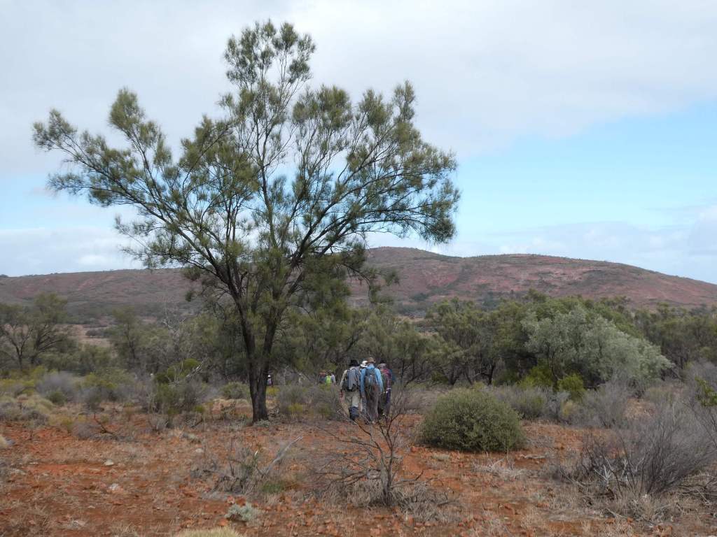
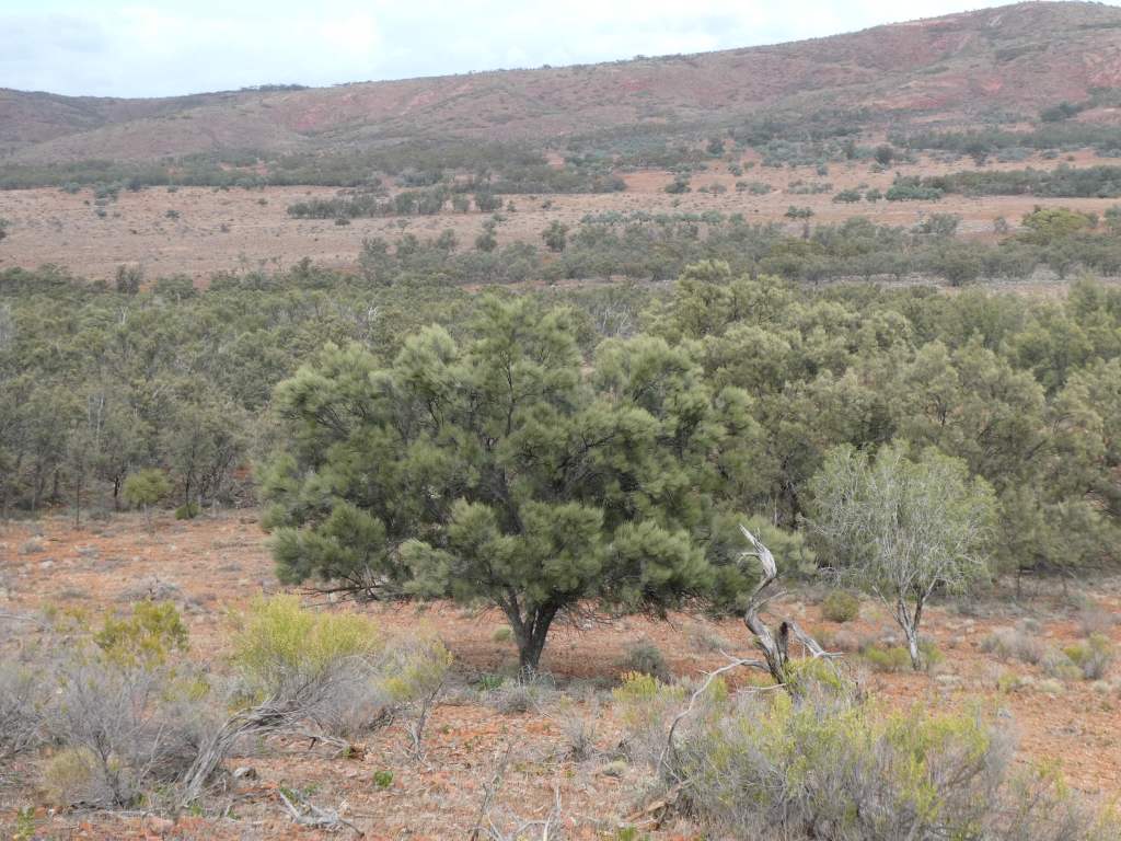
There are a couple of waterfalls ( not flowing today) with impressive rock formation and some beautiful stands of black oak and bullock bush mostly. There is also a significant Myall tree ( many hundreds of years old).
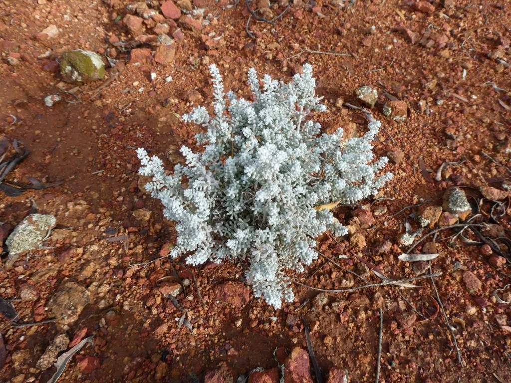
Pearl bluebush
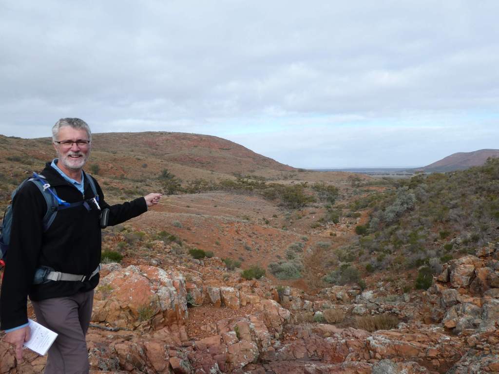
We had morning tea looking out towards the south, where Wirulla sat some 70 km or so away. We couldn’t make it out in the distance despite the fact we thought it should be visible through the gap in the hills and wide valley below us.
Wirrula is somewhere out there
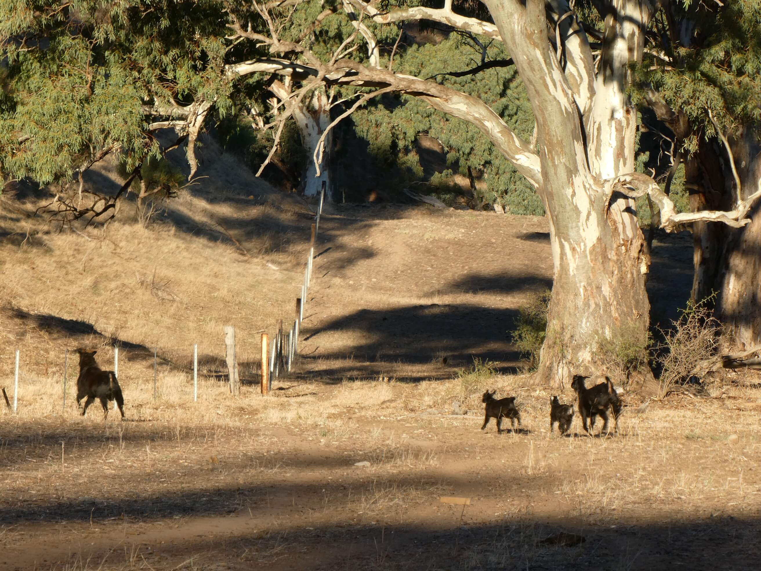
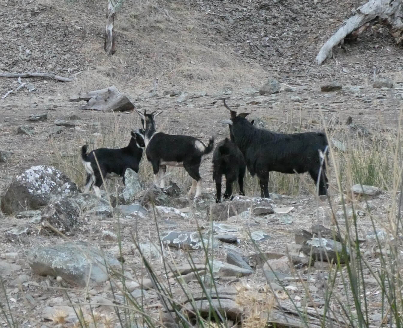
At one stage the lead group came across a group of goats. The Billy goat took exception to the walk plan and came charging angrily. Luckily Kevin quickly grabbed a rock and threw it at him, encouraging him to turn back. Whew!!
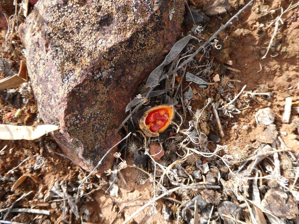
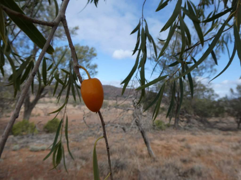
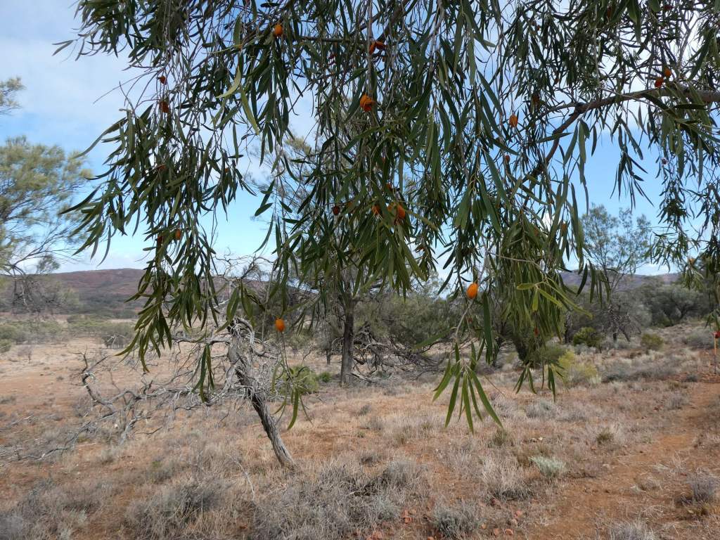
Native Apricot Tree
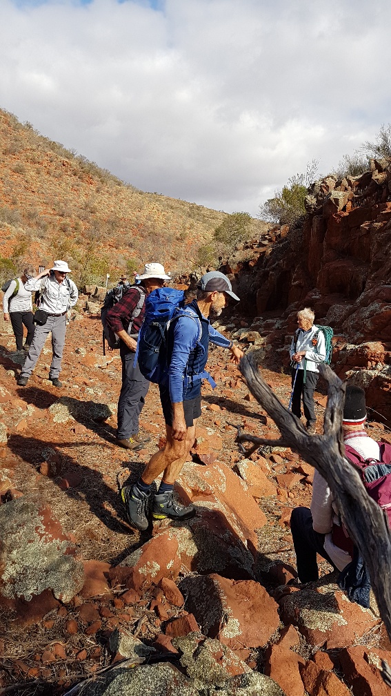
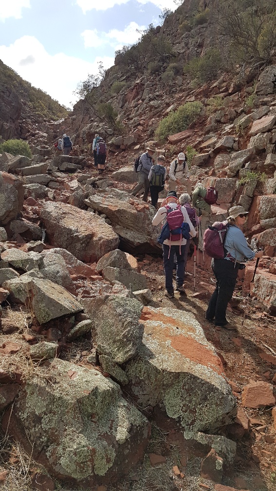
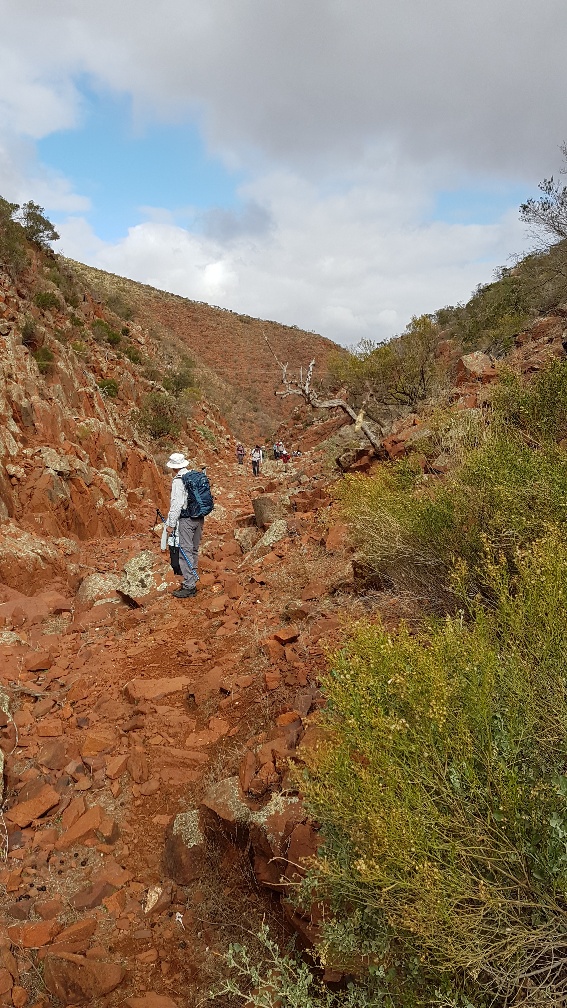
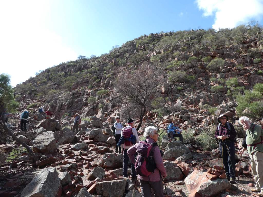
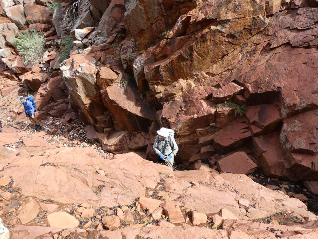
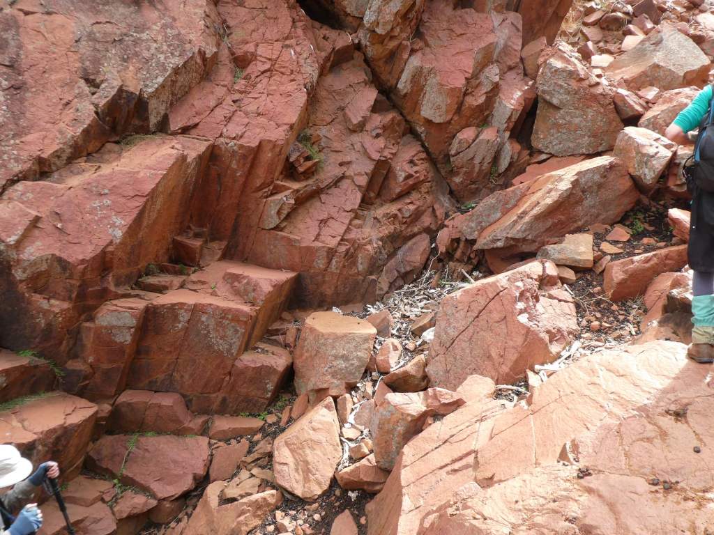
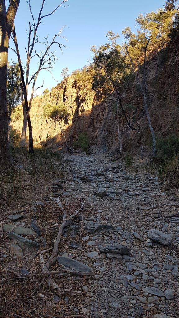
Before lunch we had to walk/ climb/ clamber our way up a very rocky gorge. Here there was a heavy load of both animal droppings and old bones. Mostly goats we think.
Lunch was enjoyed all together at the top of the gorge before the B walkers took off for the lookout ( and then back), while the C walkers went directly back to the car park. Trevor and I had shared Bob’s car for the drive out and drove it back to the B walk finish point to wait for him and ensure that he had a lift home.
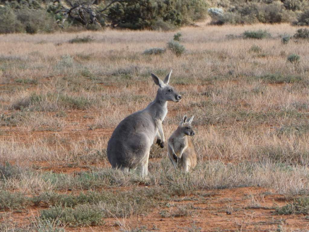
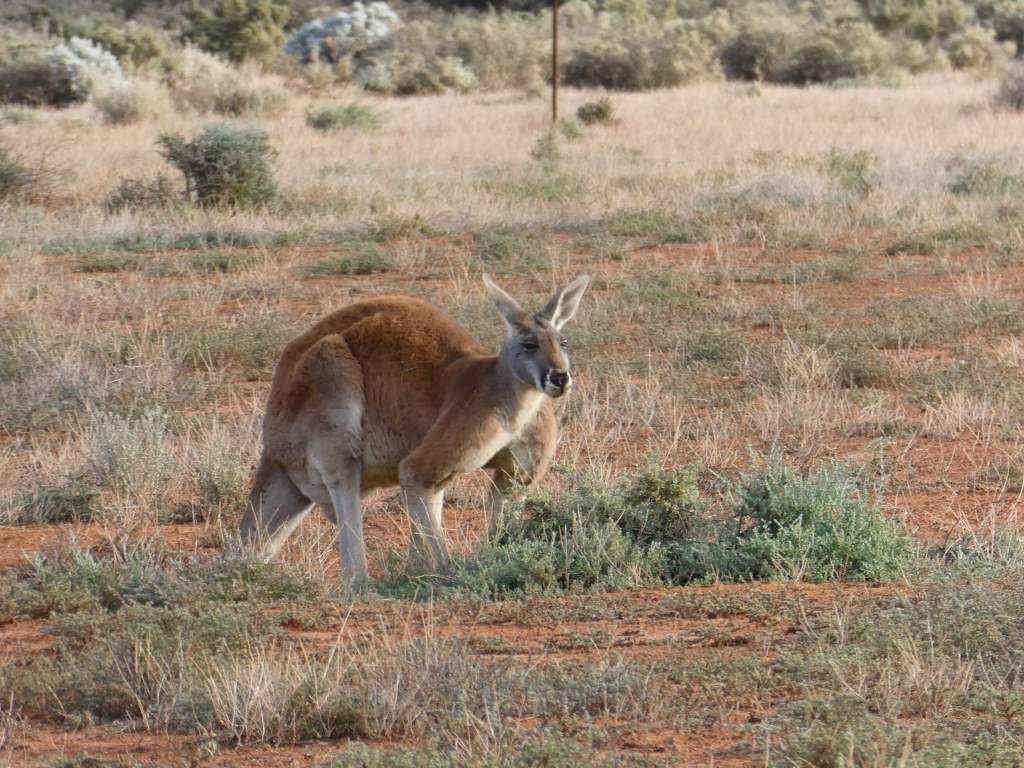
The drive home was via a scenic route – a highlight was more wombats and a huge man kangaroo who showed off his scary muscles.
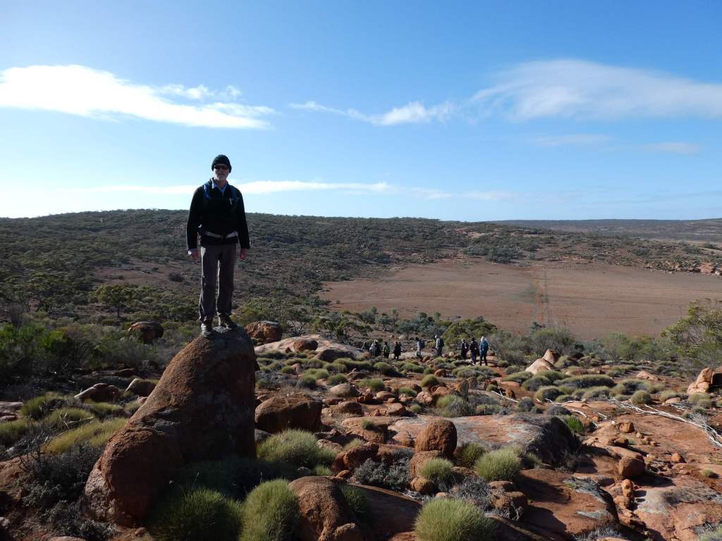
Today we walked the David Cleland walking trail. This is the latest of the trails marked across Hiltaba and fairly gentle. They are trying to build us up to the harder walks.
The walking trails are named after the founders fo the Nature Foundation – David Cleland being one of them.
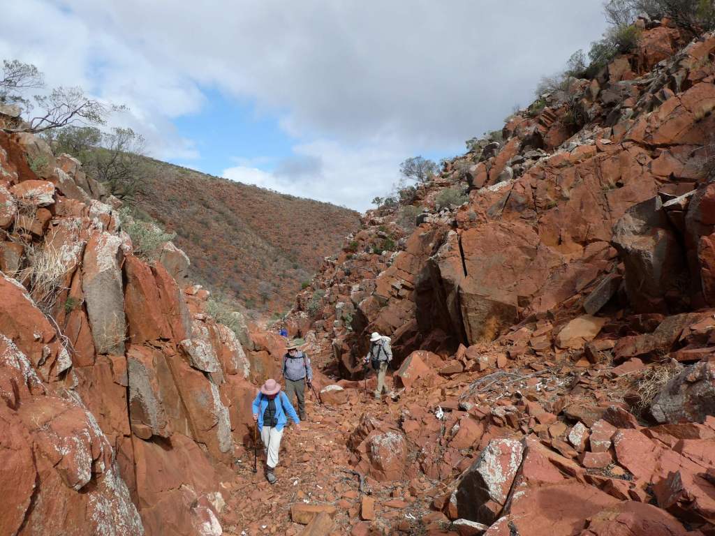
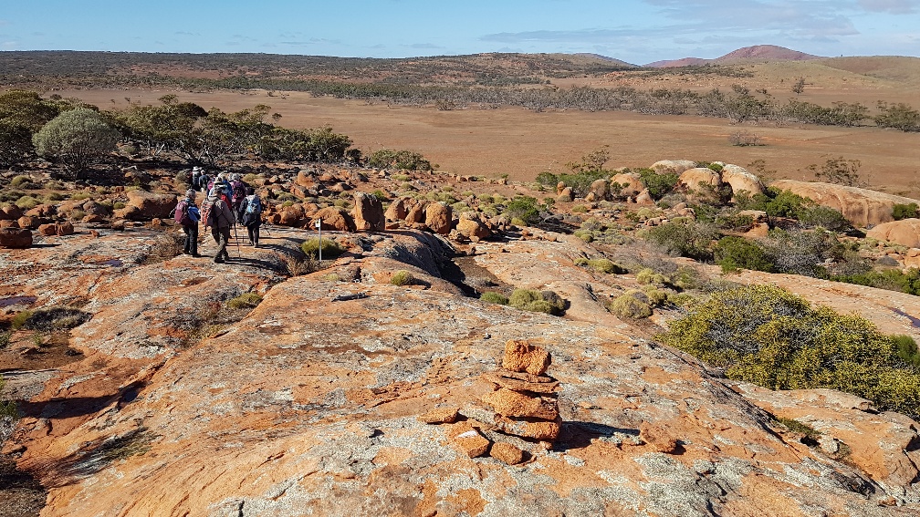
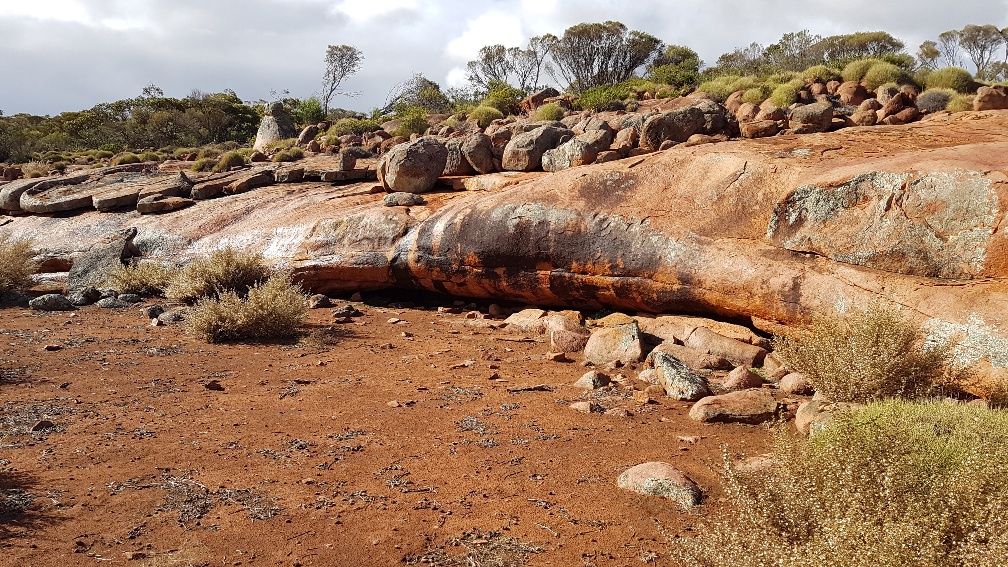
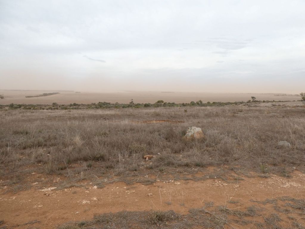
We all walked together to Pretty Point , crossing a number of rocky regions with red Hiltaba Granite boulders and flat rocks. There were also a number of rock pools in the rocks, holding water from the 10.4mm of rain that we had last night.
Beautiful morning tea spot
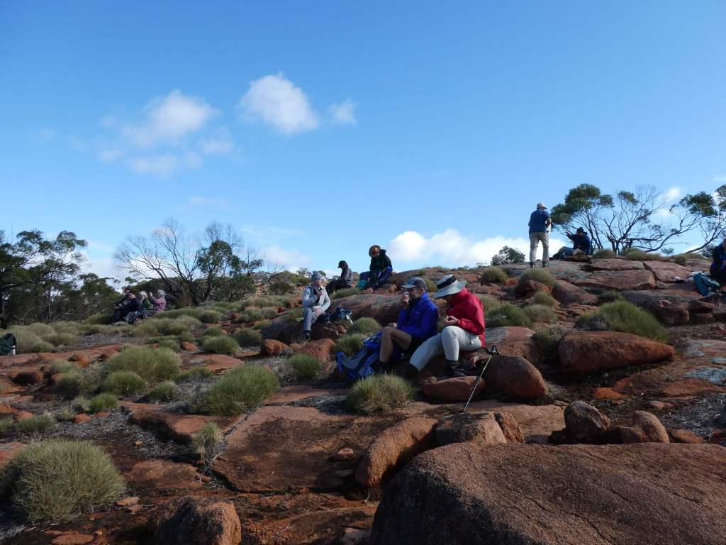
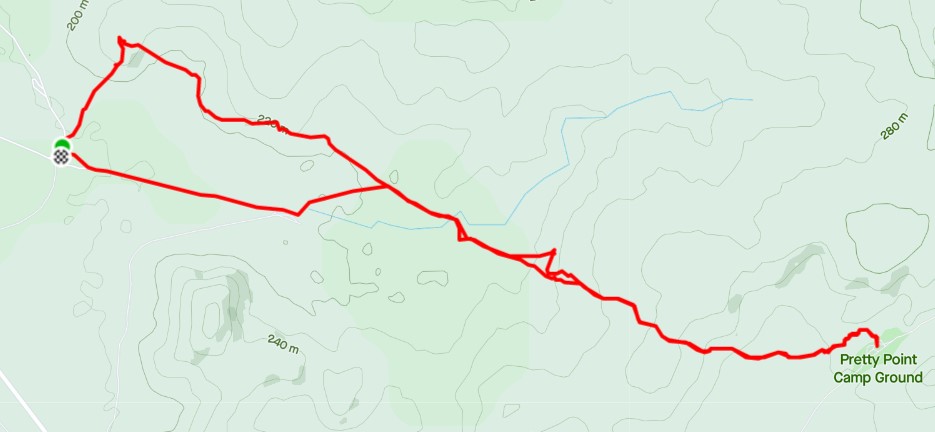
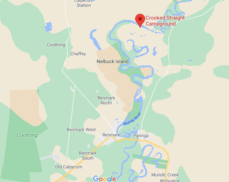
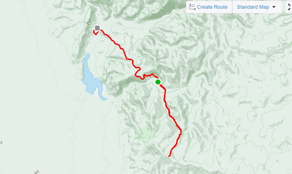
At Pretty Point campsite we had our lunch together under the large shelter shed (this has even has a barbecue available) and then some of us drove back to camp, while others walked back. The map below shows the full walk (there and back ) as done by the B walkers.
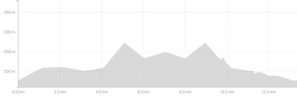
We had a good view of one wombat, lots of wombat burrows and emus.
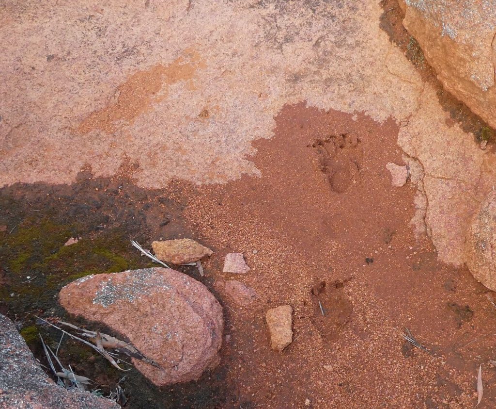
Wombat footprint in the mud
Bob gave us a good talk about granite formation about 1.6 billion years ago using his lunch box to demonstrate the erosion.
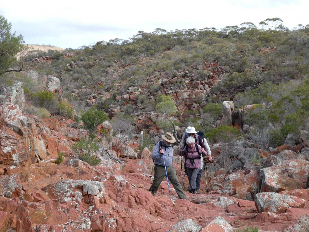
Those who walked back went via the mini wave rock and the green sentinel rock (that looks like a lady) and got caught in a rain storm.
MIni Wave Rock (in foreground) and Green Sentinel near top left standing above cliff
They came back via Nugent’s well and windmill. Trevor was in that group. Unfortunately his neuroma on his foot played up terribly and he limped in at the finish in a lot of pain. This resolved overnight.
There was corned beef for dinner followed by brownies for dessert.
Some of the volunteers told us about Hiltaba and the nature foundation. The nature foundation primarily exist to conserve the habitat of SA. They ahve a number of programs to this end – to preserve nedangered species of plant and animal and also places. They own a number of properties, which are managed towards these ends. The foundation was initially founded by a small group and has grown from that. They now own both Hiltaba and Witchelina are open for nature tourism.
The fire was lit in the research room and some of us spent time together there reading and chatting.
We left Port Pirie at about 9am, having said good morning and goodbye to all. This included Matthew!
It was an overcast day, but the predicted temp at Hiltaba was 27 today so we were wearing just T Shirts, with jumpers packed away.
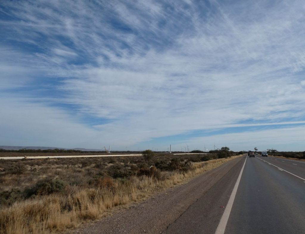
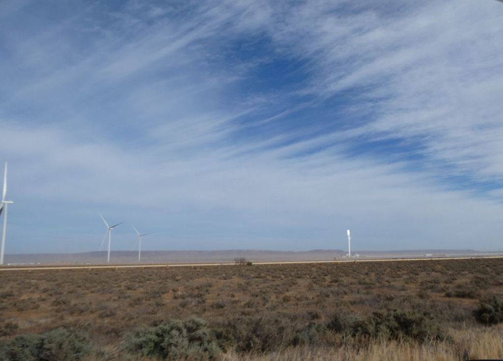
As we headed along the highway the gulf to our left was a dark broody grey/blue and we could see the new wind farm in the distance.
The wind farm, just before the sundrop area has already got seventeen full wind turbines and there are at least 7 more partially built. They are close to the highway so you cannot miss their enormous size as you drive past. The works depot for the project had 8 cement trucks lined up!
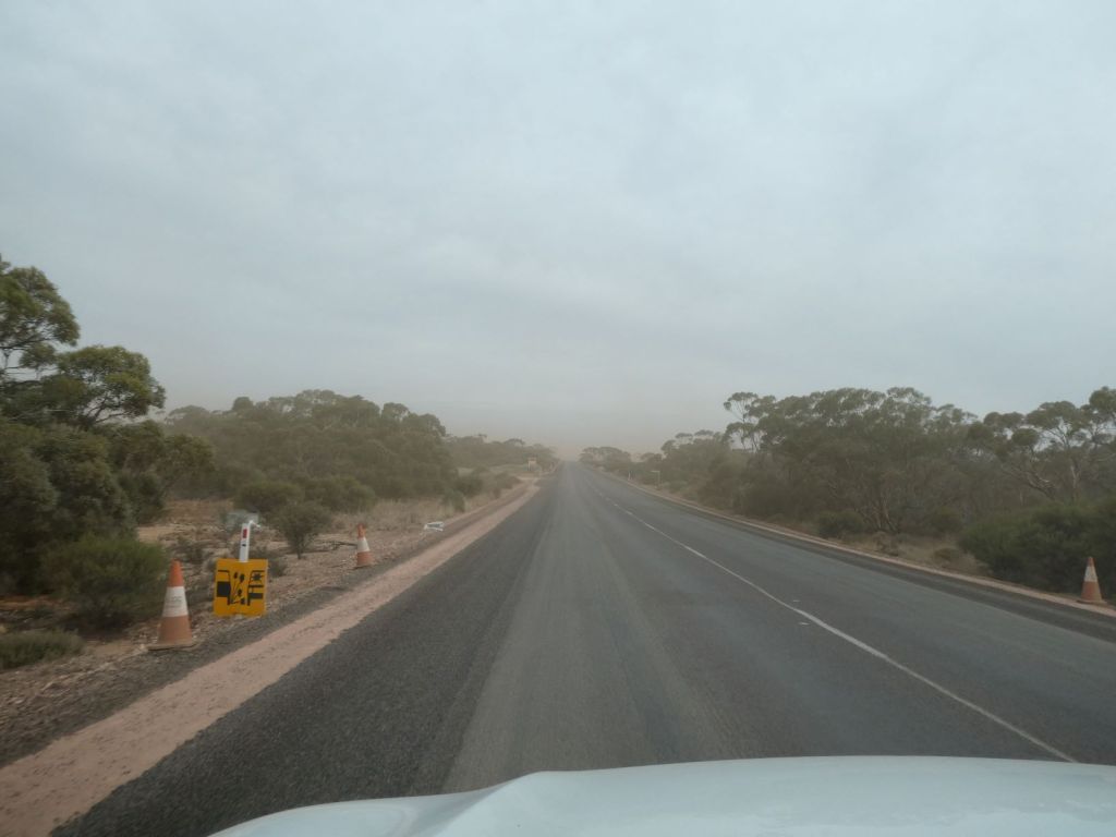
We’ve been pushing into a stiff breeze ( pushing up a lot of dust) today and decided to refill fuel at Port Augusta, adding another 37 litres of fuel ( $50) for the 333km we had travelled. Approx 11l/100km we figure.
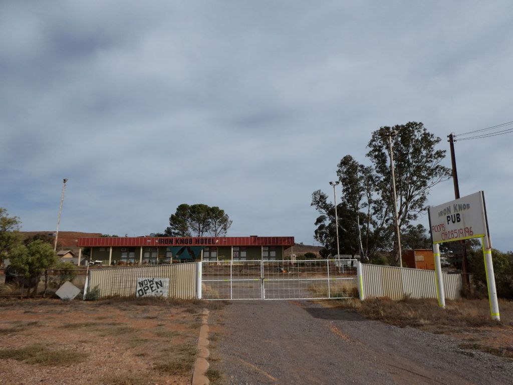
We enjoyed a break from the interminable roadworks at Iron Knob, where we enjoyed Belinda’s delicious sultana cake and a cuppa, doing a brief tour of town, including the pub. The sign said open, but the gates were closed.
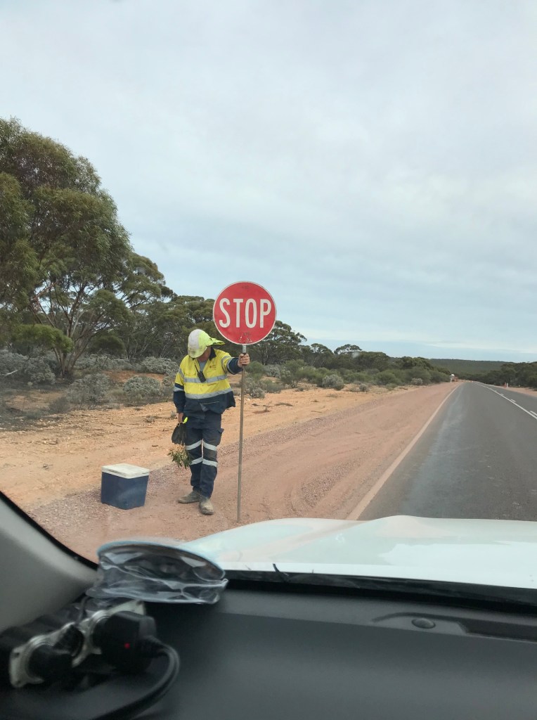
More roadworks finally brought us in to Kimba, where we bought hot pie and pasty for lunch before heading out of town. There was virtually an 80km/h limit for this whole section, with one section of stop by a lollipop man with a long wait.
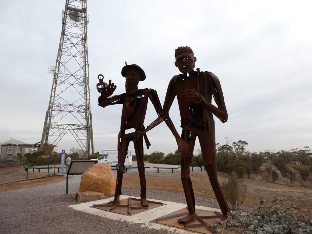
Just at the town limits we saw a brown sign inviting us to a lookout. We proceeded to White’s Knob, where a metal sculpture of Edward John Eyre and friend looks down also.
In 1838 Eyre led an expedition from Streaky Bay and reached the Gawler Ranges, discovering the Sturt Pea. Eyre found a good supply of water near Iron Knob. Two years later he explored further into the eastern side of the peninsula which now bears his name, finding a spring and some good grass 45km east of this lookout (near secret rocks) . He named that place refuge rocks because at last he had food and water. The aboriginal figure in the sculpture is a nod to the aboriginial people on whom Eyre relied so heavily for their bush skills.
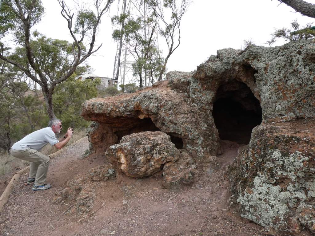
We enjoyed a short walk to see some local caves. These caves have been ther destination of many an excursion in the local area.
Only a short distance on we stopped again at Bascombe Rocks ( used to be a soak with permanent water and tennis courts). No water seen today, but we didn’t walk far to check either in the blustery wind.
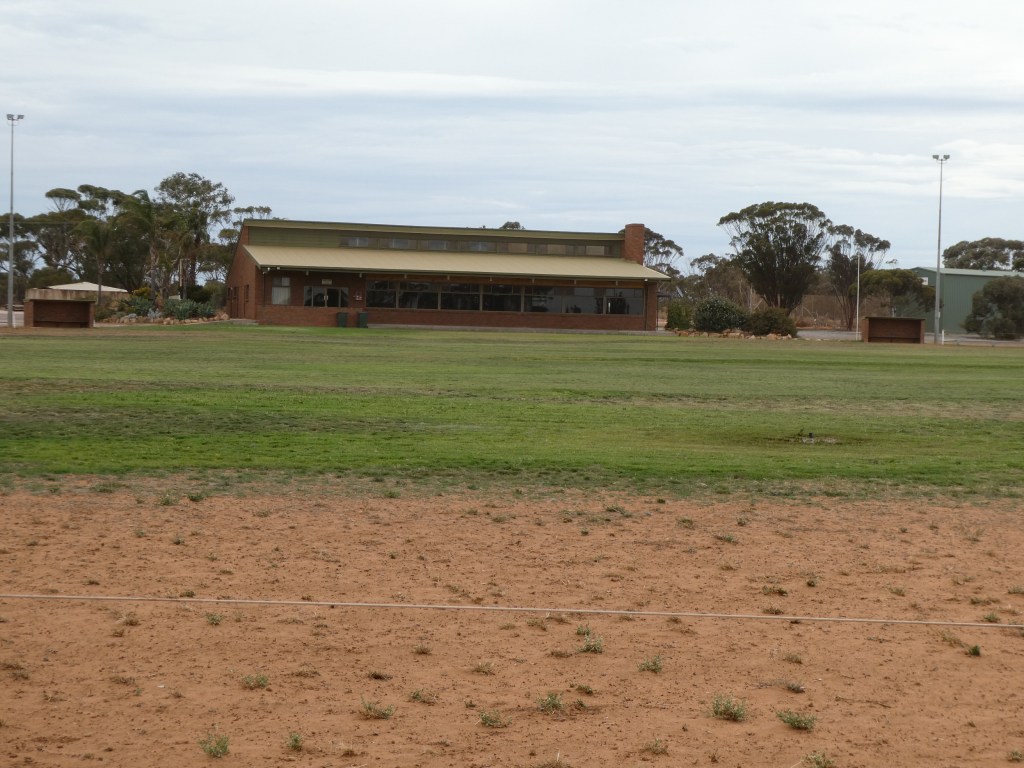
I expected Buckleboo to be just a locality as we headed on what was now a dirt road , and there weren’t any houses, but there was an exceptionally impressive brick club rooms at the oval , along with a CFS shed and 3 excellent new tennis courts. I reckon you could probably camp behind the club rooms and use the public facilities if required. We let some pressure out of the tyres here in preparation for the long, sometimes rough, dirt stretch ahead of us.
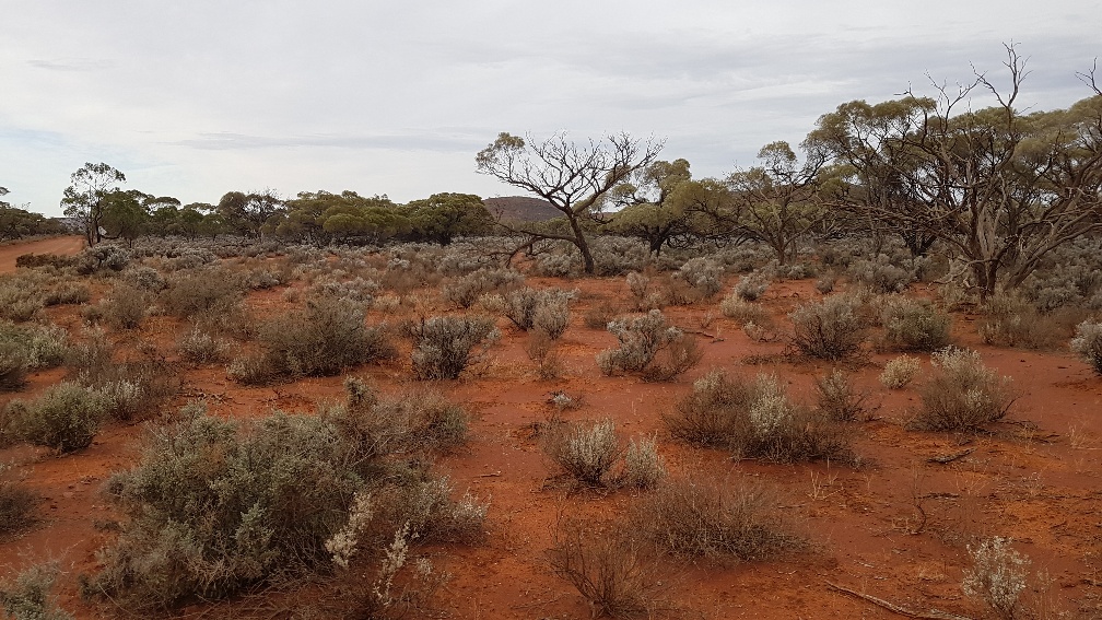
We came up again behind a truck carrying two huge tanks and were wondering about passing the wide load when he turned off onto Karawatha Park(!) leaving us lovely open road in front of us. Not much later we passed through a gate and were driving on Buckleboo Station.
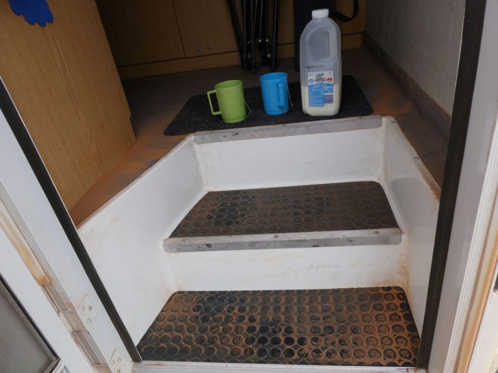
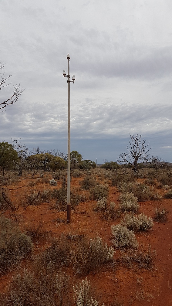
We saw some tiny lambs in this stretch. As we were both getting a bit weary we stopped for a cuppa and leg stretch just before turning on to the Hiltaba road. Here there was a stunning row of telegraph poles( still with their gleaming white insulators in place). As you can see, there was a good amount of dust in the van (particularly just inside the door)
We arrived at the shearer’s quarters just after 4 pm and were the last to arrive. Some drove all the way from Adelaide in a standard car today ( with a very early start) and beat us here by a few minutes.
There was quite a clean up required as we had been well dusted inside.
We had a lovely dinner of quiche and salad plus fruit salad and icecream for tea and learnt a bit about expectations for the week.
A well earned shower was also enjoyed as the rain started to fall.
This was the first day of a trip away with our walking group to Hiltaba Station.
We had two starts to this trip. The first time we made it to the fuel station at Gepps Cross only to find that the fuel cap would not come off!!
We had a new long range fuel tank put on recently and had not opened the cap since. Not a good way to find out there was a problem. When we were planning to be driving out of town we found ourselves turning ( fuelless and clueless) away and heading home again to resolve the issue.
At home we found that the spare key will open the cap ( with some persuasion) The key lock part seems to be the problem, but you can’t remove the key without locking the cap. Of course it is Sunday now and not able to be properly sorted by those who did the work. We decided to enjoy a relaxing cuppa and destress a little before taking our chances with the spare key.
Take two saw us leaving again at 12:12. We had hoped we might be close to Port Pirie by now. Never mind. This time the cap came off and we were able to fill up. Almost 120 litres later we were on the road again in balmy sunny weather.
We enjoyed our lunch by the boat ramp at Port Wakefield, watching the fishermen returning with squid and whiting before continuing on our way. Lots of roadworks in progress here at the moment.
We admired the new Nessie as we came through Lochiel and suffered the km after km of roadworks. Finally we arrived at Port Pirie just after 4 pm.
We listened to our travelling companions getting up and starting off early to the event and then quickly rose ourselves, had a light breakfast and headed off.
We walked to the event arena from our campsite, stopping thankfully at the toilets on the way. ( there are no toilets on site at Crooked Straight area usually, but they were provided fo r the 200 or so orienteers to use).
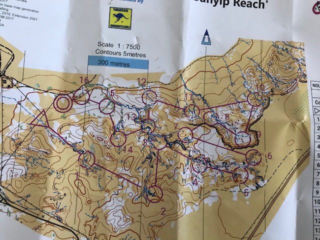
This event was the SA long champs. Challenging and enjoyable courses in Sandy terrain, where it was important to keep in contact with where you were on the map as much as to move fast.
Some controls on slippery steep hills and at the bottom of deep erosion gullies proved challenging for Erica’s inflexible, old body.
The second to last control at the top of a hill nearly put a stop to Erica’s course, with a very steep exit. We had watched the elite orienteers careering down here effortlessly earlier in the day, now it didnt look so easy as I stood at the top and wondered how on earth I was going to manage that without killing myself. I ended up getting down dirty, but with no rips in my pants like some.
We emerged at the end with no broken limbs or black toes( like last time) but still plenty of sand to be emptied out of our shoes at the finish.
We entertained Doug at our camp with a cuppa and snacks. We ate our late lunch ( he had already had his) and then Craig came across. The others gradually appeared also as we sat debriefing our runs and took turns disappearing inside for a wash. ( something we can now do and appreciate with our camper).
We packed up and headed in to Renmark, parking near the pub (our destination for tea with the Tintookies Orienteering club).
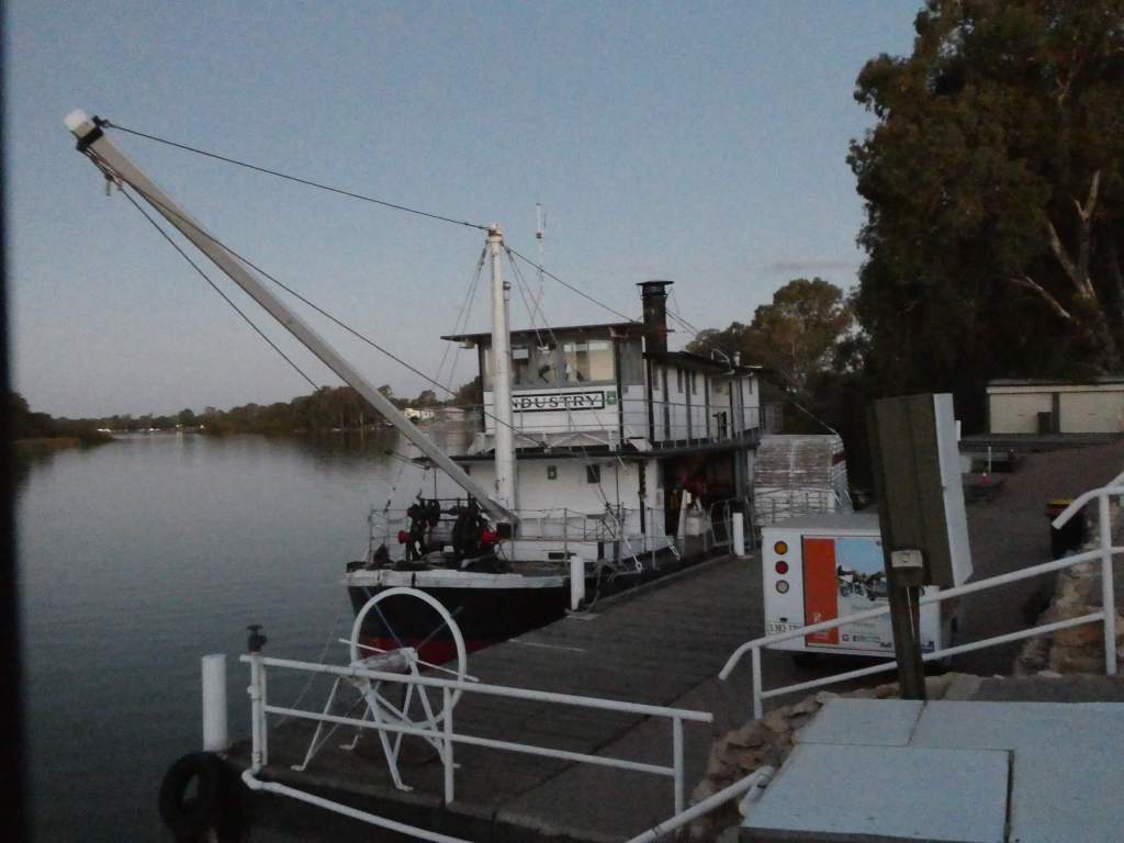
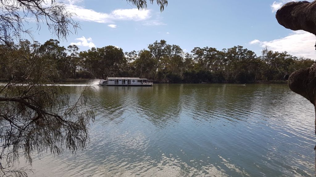
With time to kill, we checked out the riverfront, with the old riverboat “Industry” which was once used to keep the river open for paddle steamers and build the locks. It is now used as a museum, accessed via the local tourist information centre.
The River Murray Queen was moored a bit further up, but all was dark and quiet.
Kids were enjoying feeding possums on the tall palm trees and a country music guy on a junky promotional houseboat was broadcasting his wares for all to sample.
The reflections of gums on the dark river were beautiful.
We had about thirty six for tea ( Tintookies and a few extras) and despite a slow ordering lineup for meals the cooking was efficient and meals arrived pretty fast. Basic large pub meals ( Trevor brought home almost half his schnitzel).
After dinner we parked at the site for tomorrow’s event ( the school) as we had to be there first thing in the morning with all the gear for the finish. This was a “B Choice” as our teacher daughter-in – law would say.
It was lovely to wake to the sounds of the river birds and take our time getting up.
Eggs and bacon for breakfast was the order of the day.
We sat and watched the river, chatting and relaxing the morning away, since we had all morning before our afternoon event. Our starts weren’t until after 2 pm.
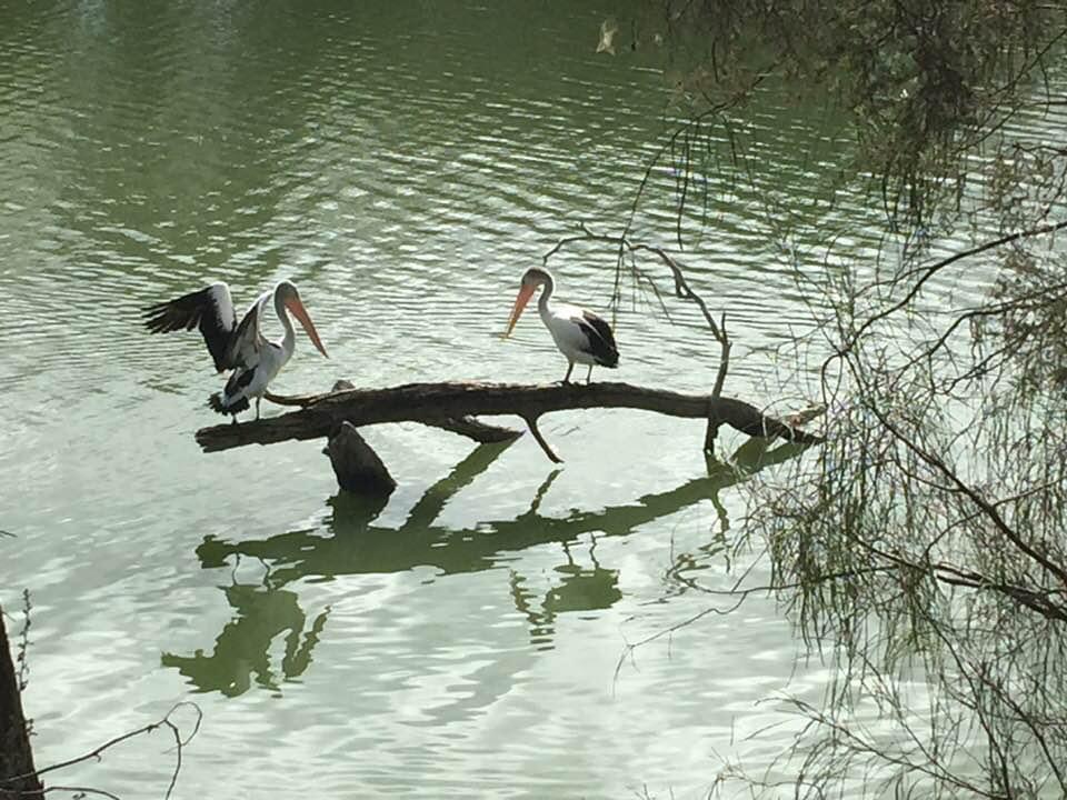
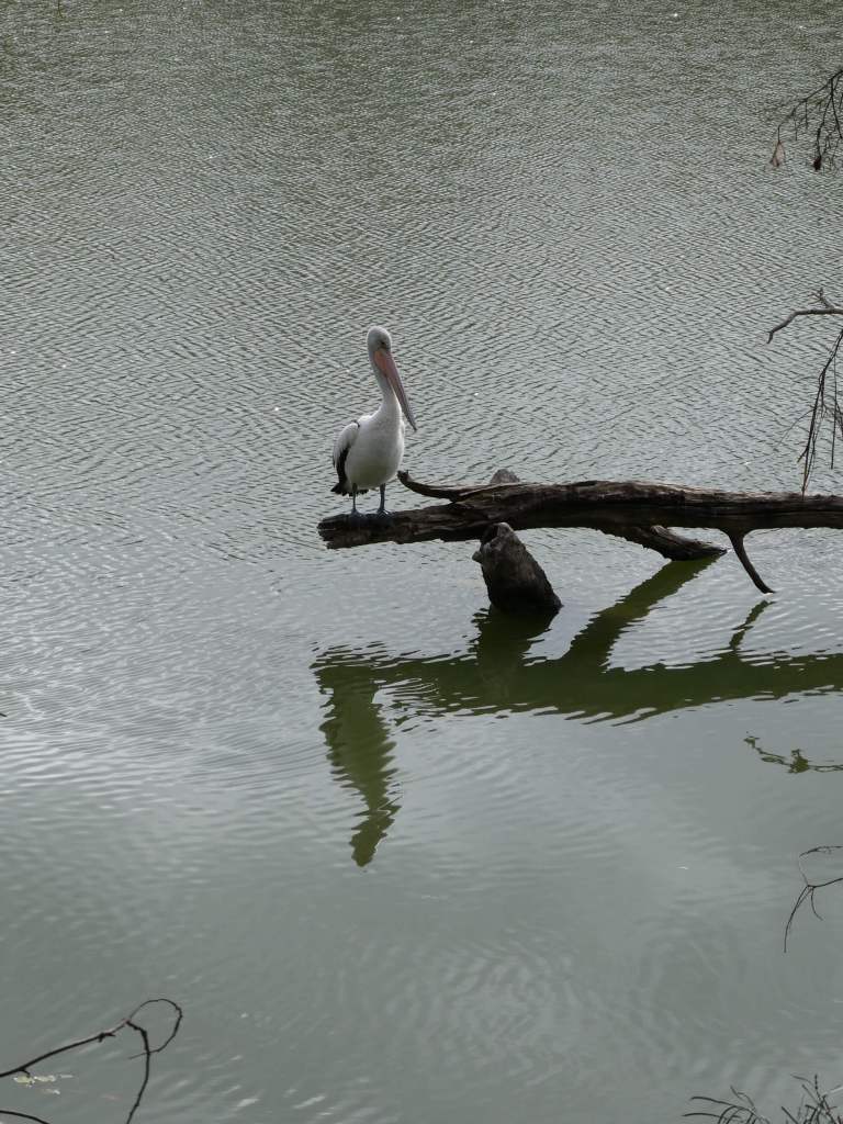
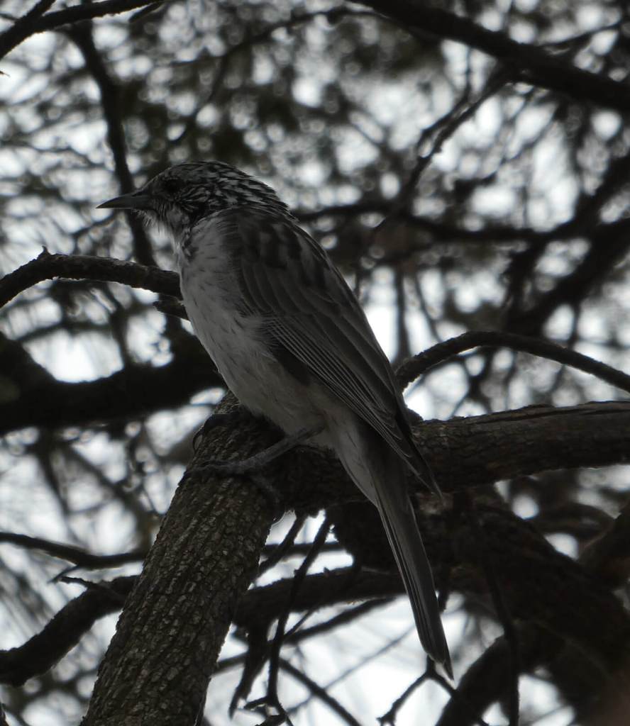
A striped honeyeater and pied butcherbird came to say hello, pelicans preened on a branch over the river and black swans glided past happily. Also darters.
Ev’s pair of pelicans
Striped Honeyeater
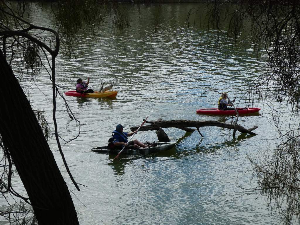
Kayakers were having fun as were the houseboaters. We headed off to the event at 12:30. It wasn’t too far up the road ( only 10km or so).
The event was challenging, with the deep erosion gullies and creeks which were difficult to cross and rocky, uneven ground. It was a real workout, and I wasted a lot of time going around instead of over the obstacles.
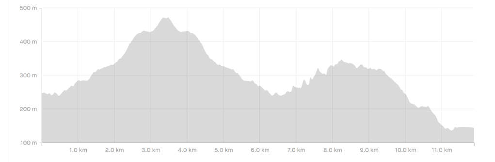
Erica’s course
Trevor and Erica both finished our courses , but not at the top of the rankings.
We came back to the campsite for a wash up ( especially our feet) and enjoyed a bit of quiet time while our travelling companions helped to set up the event for tomorrow.
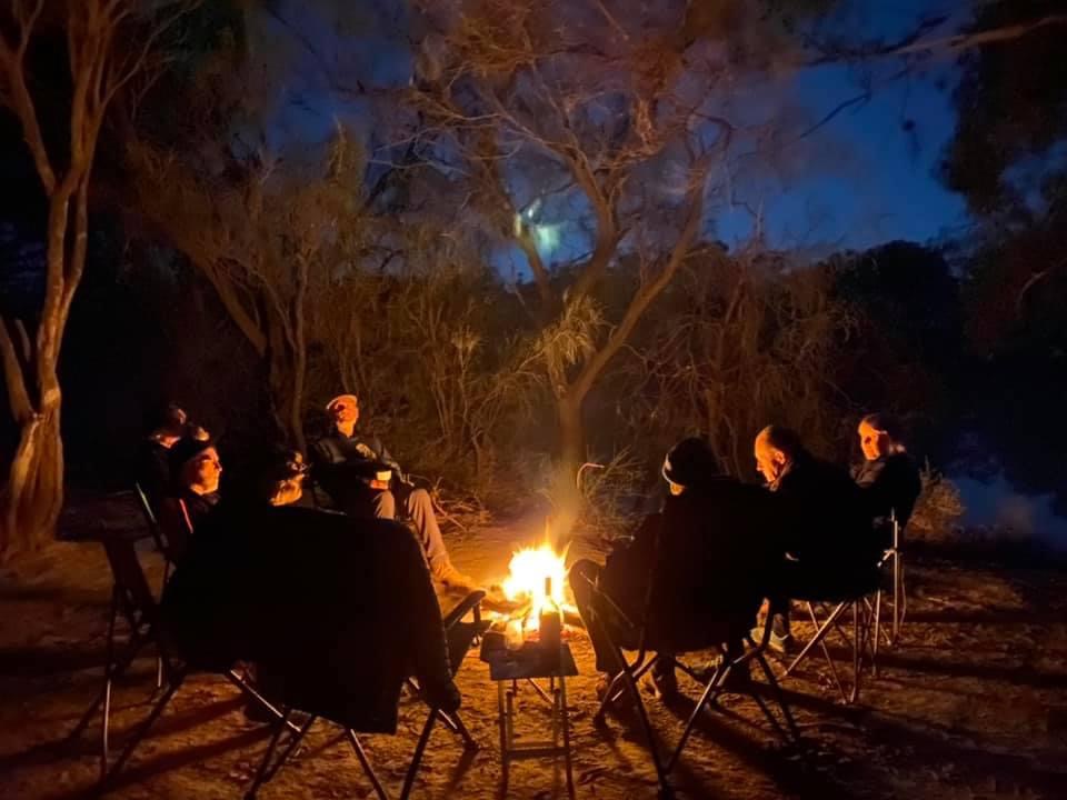
We had a small fire and quietly sat around and chatted until an early bed time.
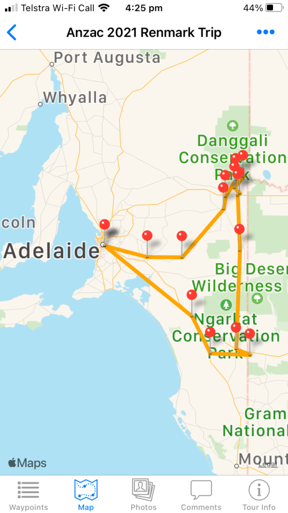
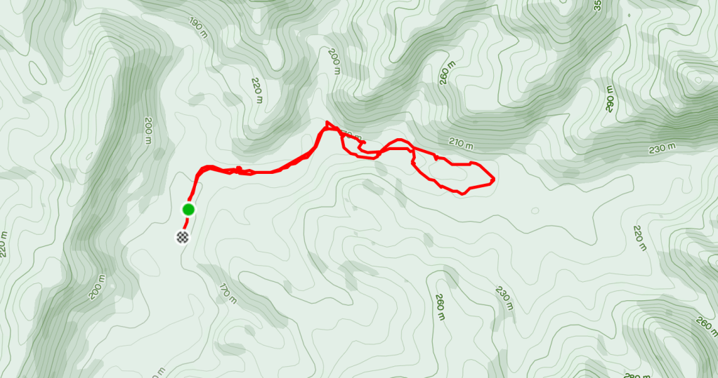
The first is a series of posts covering our trip to Renmark for Orienteering. I thought I would try out the “Trackmytour” app on my phone and ended up with a map like this of my tour .
I think that this has potential as a way of keeping family and friends up to date when we are on our grand WA Wander later this year. I could have made more use of the info that I put on the waypoints to make it more informative and added more waypoints to make the route clearer. I can put things in there when I am off line and then upload when I have coverage.
Having the long range tank put in the hilux, we were somewhat at the mercy of the workshop but they came through well for us and we were picking it up again at about 2.30pm.
We were on the road about 3:40 after quickly stashing our gear into the allocated spots. Hopefully we haven’t forgotten too many essentials.
We travelled up into the hills on the freeway, exiting towards Karoonda just after Murray Bridge. Soon afterwards we came across the first breathalyser , but were waved on through.
We stopped at Karoonda IGA and bought fruit and veg as we passed through. We should be fine taking these ( with receipt) into the Riverland zone. We couldn’t bring them from our local supermarket because we are in the yellow zone due to fruit fly outbreak. We have one banana to eat ( from home) before we cross into the exclusion zone area.
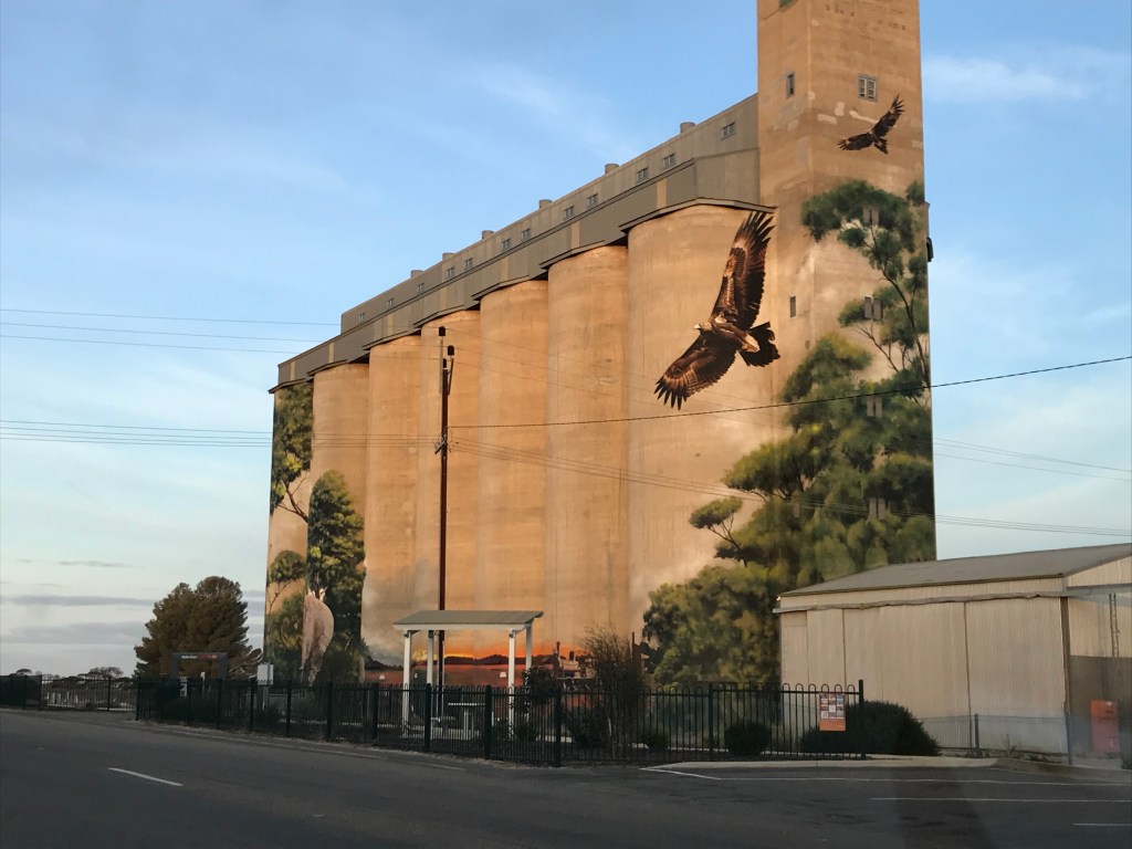
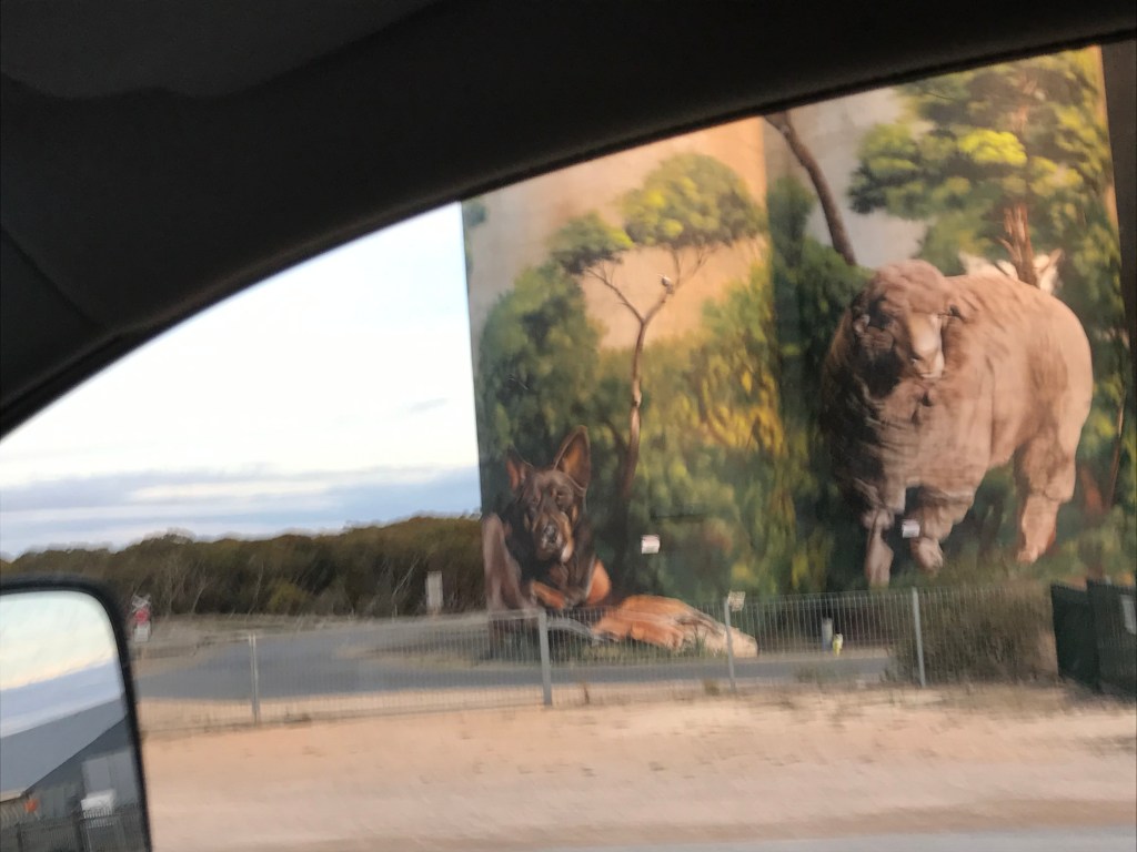
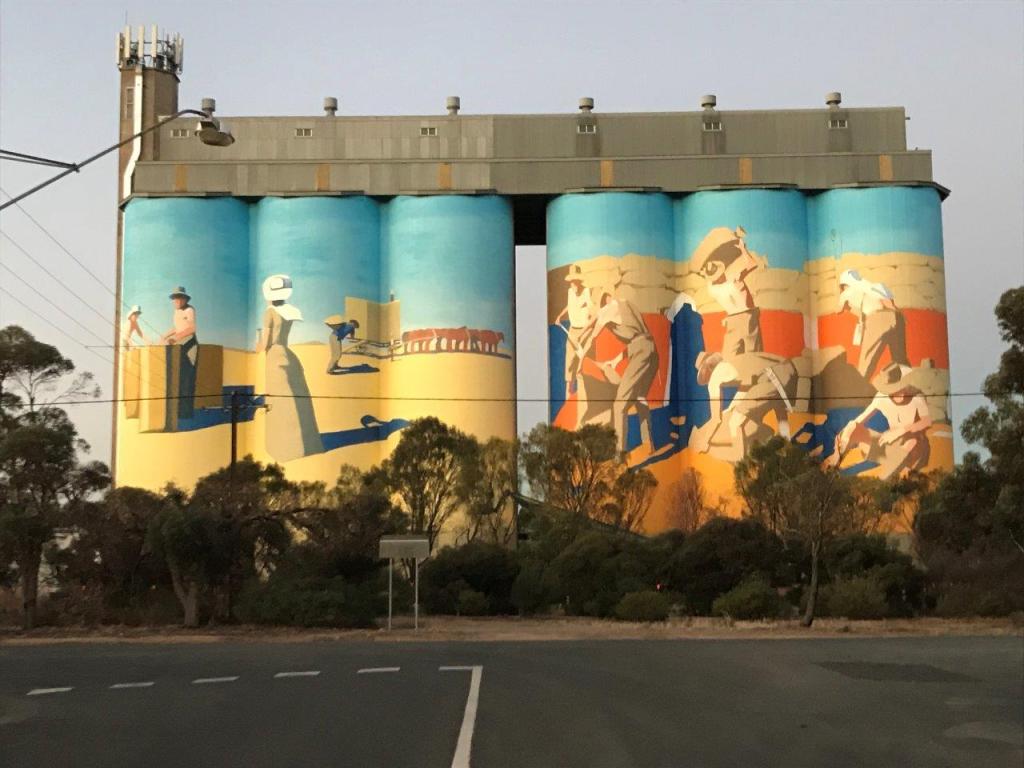
The silos at Karoonda sport a lovely eagle, a train, some mallee forest and sheep.
We stopped to eat our one banana from home and to drop off the skin in the quarantine bin on the way towards Loxton.
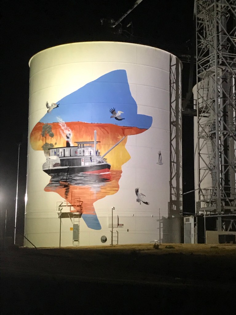
Then onwards through the night,over the historic Paringa Bridge and past the painted tanks at Paringa
We turned to the left and followed alongside the river for 20km. Then we were turning off and down to the camping spot, finding Al and Zita fairly easily.
Colwell’s were only a little way behind us in arriving. The three of us were camped at the river edge.
It was lovely to be beside the river, listening to the boobook calls and chatting quietly, letting our bodies relax into the camping experience.
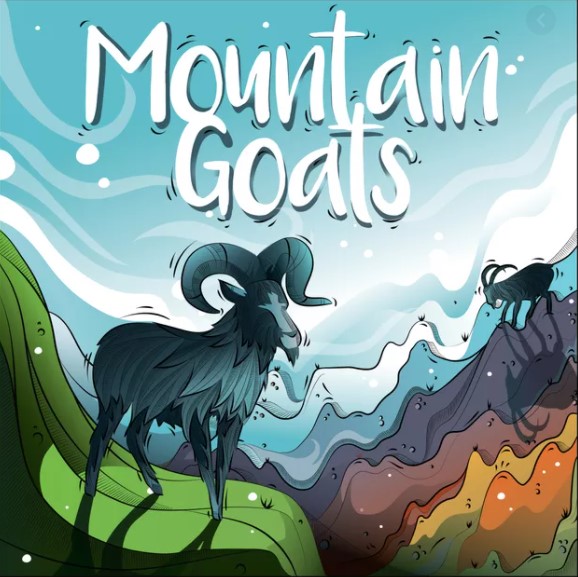
After breakfast we introduced Peter and Belinda to “ mountain goats“ played with the ability to split the dice into as many groups as you like. This meant the game worked better than on our first play.
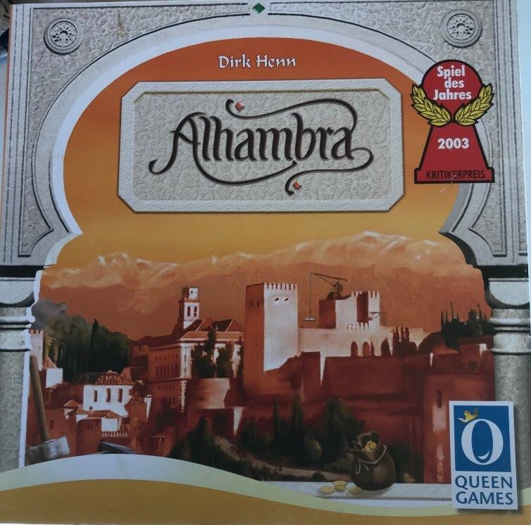
They taught us to play “Alhambra”- a game where you build a walled city, aiming for the longest wall. This was a pretty enjoyable game.
A cyclist came through on an electric mountain bike and stopped for a chat.
Peter and Belinda had to pick up kids at Melrose at 2 pm so we were rushing to be packed up in time and drove out together, with them opening and us shutting the gates along the track.
They headed off along the bridle track with the trailer in tow. We headed towards Owen.
First stop was Terowie Gorge where we parked and went for a short walk on this hot day, and failed to locate the position of the spring. ( there don’t seem to be tracks leading to it).
We proceeded on via the back roads, only travelling about 100 m on the highway, via, Napperby, Crystal Brook, the outskirts of Red Hill, close to Brinkworth and through the edge of Balaklava.
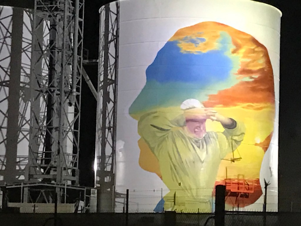
We detoured briefly past the partially completed silo painting before pulling in to Rodney’s yard just before 5pm.
Partly completed
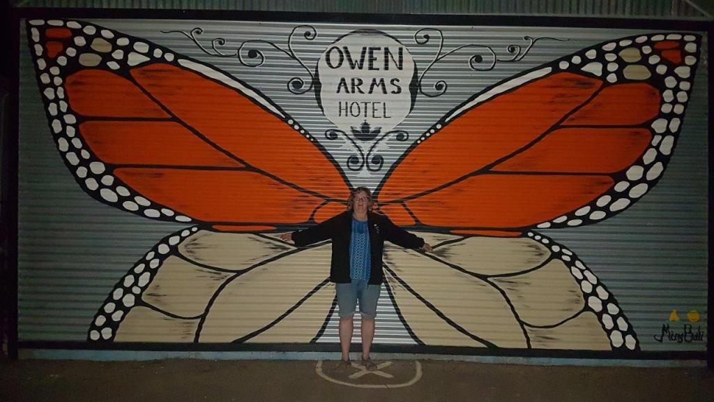
After a much enjoyed cuppa and shower we headed off to have another look at the silo and to eat dinner at the Owen Arms.
We helped Rodney to complete his 500 piece jigsaw before heading to bed.
Peter and Belinda were up very early ( but not as early as they wanted)- following the daylight saving time change overnight. They drove back to Pirie and cooked breakfast for 30 or so people following a dawn service while we snoozed on.
Bacon and eggs breakfast in the bush was excellent.
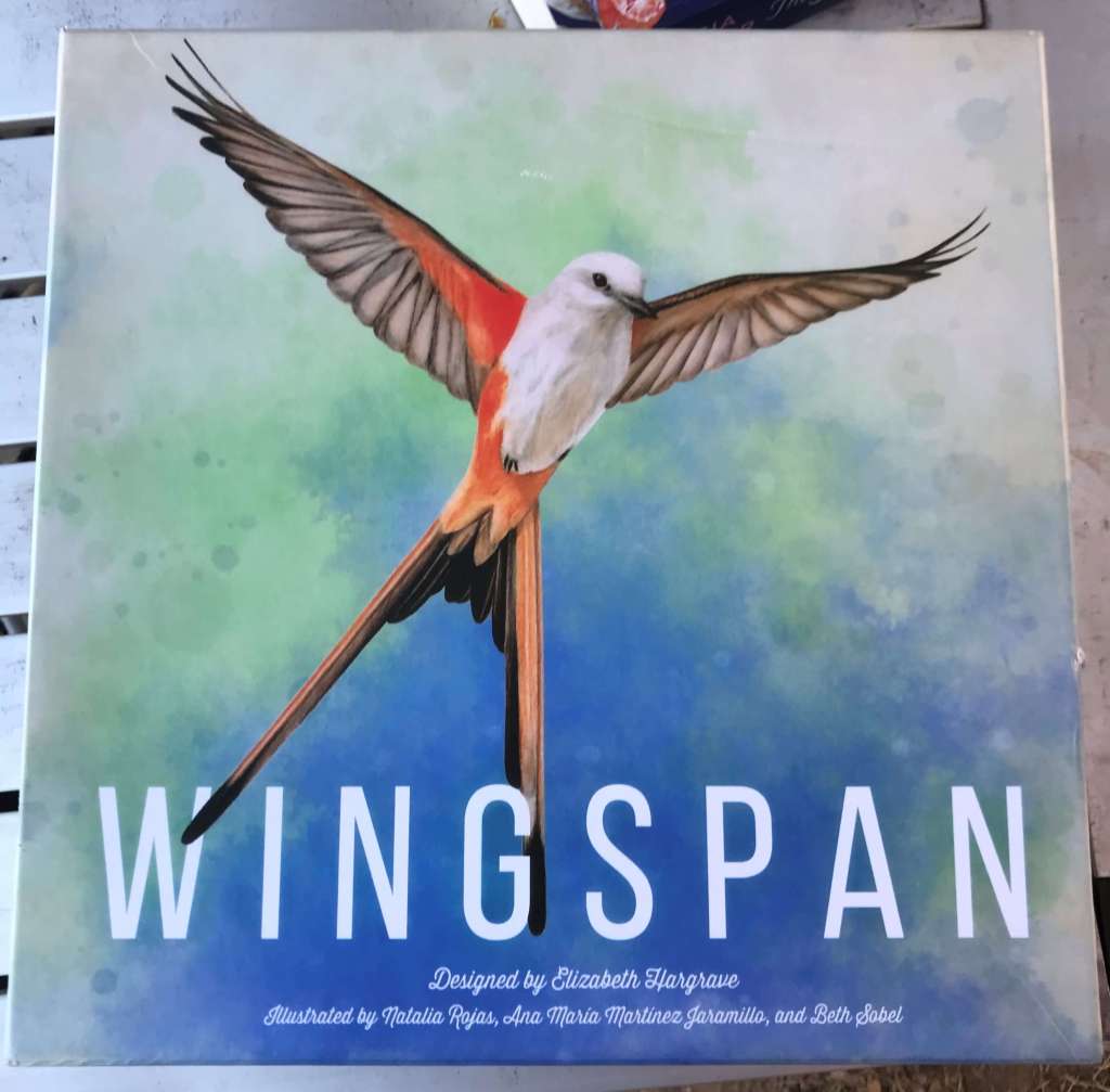
Played “wingspan”- a board game based around birds.
This was Interrupted by a tag along tour of landrovers, who were first heard and then spotted on the hill above us, before driving through next to our camp.
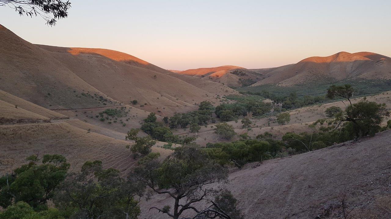
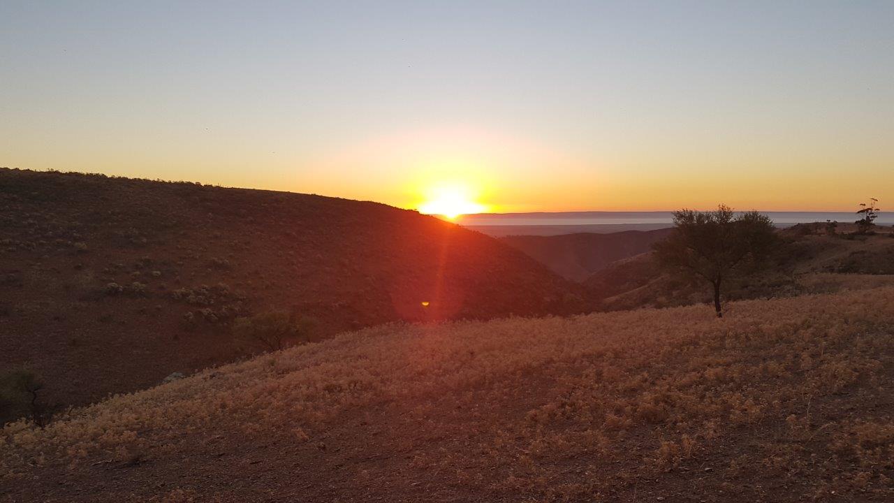
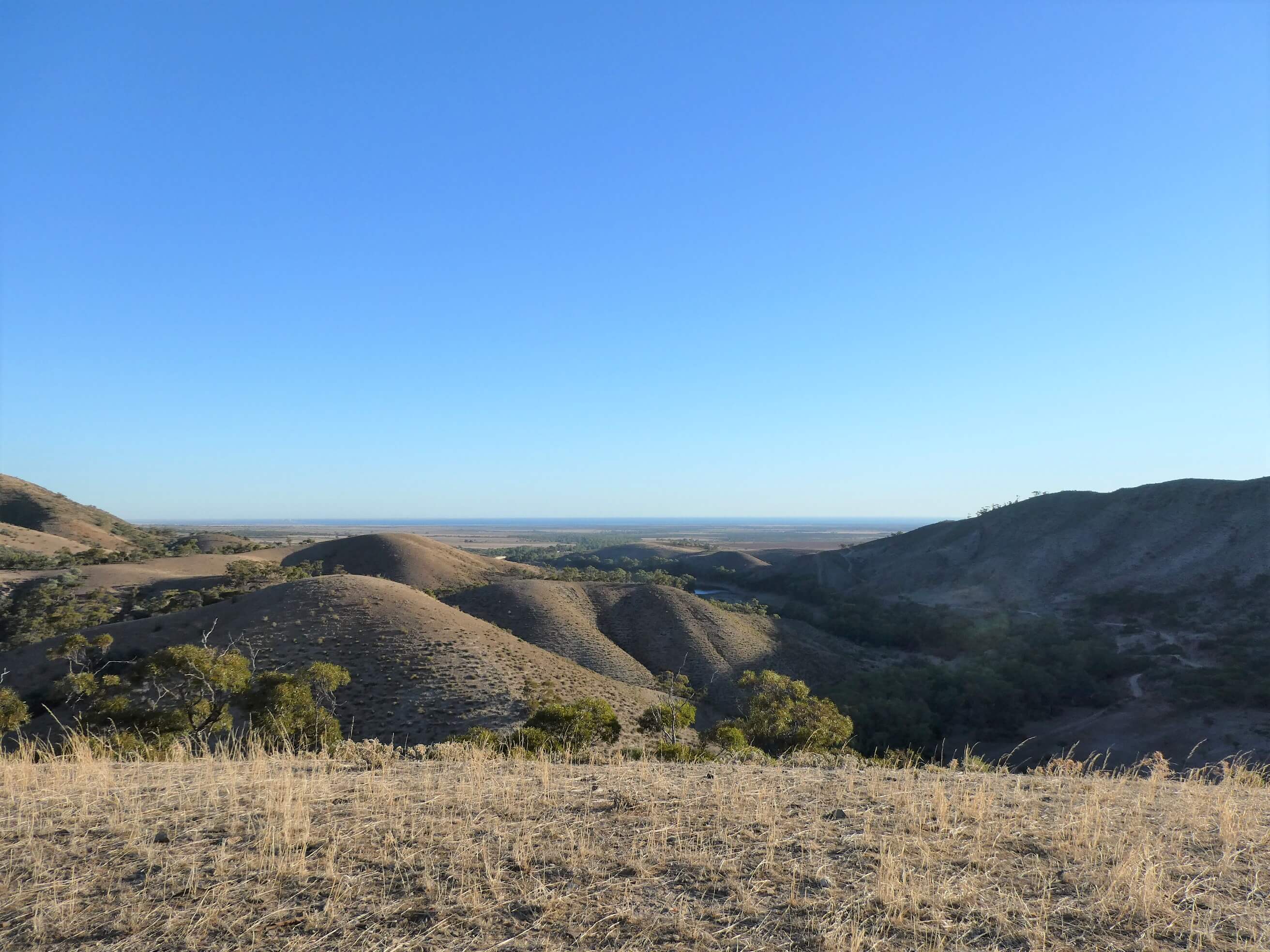
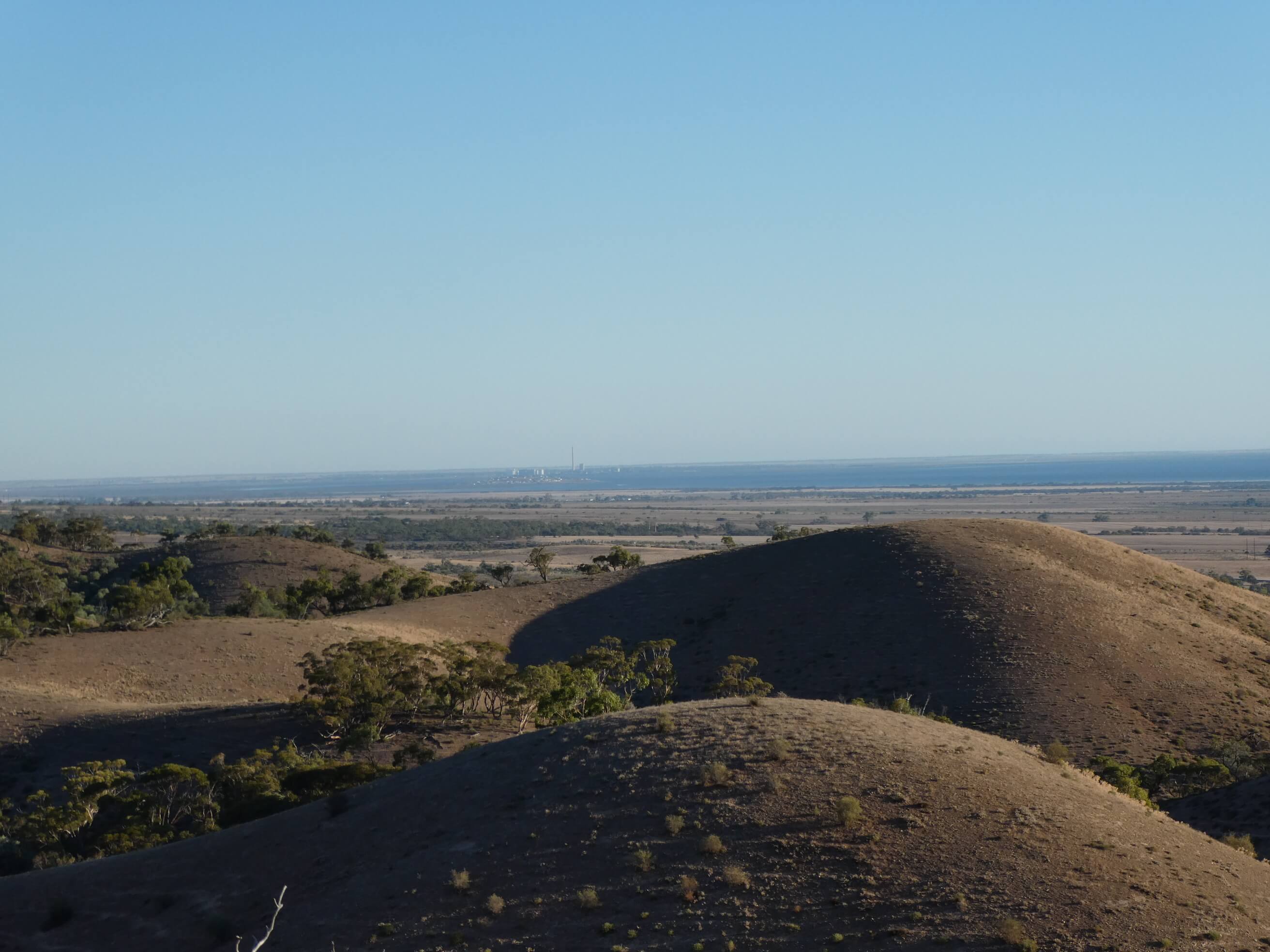
This inspired a foot recce and then a driving adventure as we piled in with Peter and Belinda in their Prado to explore some of the 4WD trails on the property. We drove through up to where the tracks met the bridle trail before turning and returning on the same tracks. Some cling to the sides of hills, some wash away areas and a very impressive performance from driver and vehicle. We enjoyed the sunset view from above on the way back to camp, looking out over Spencer Gulf.
We had another beautiful starry night as the temperature slowly cooled to sleepable.
There was an extra benefit to our camping position nestled between the hills. The sun was quite high in the sky before it actually reached us. The sleep-in was much appreciated. After the stresses of the last couple of weeks it was great to relax away from any phone signal and just be with friends and nature.
The late morning and afternoon were spent happily chatting and playing games of 500.
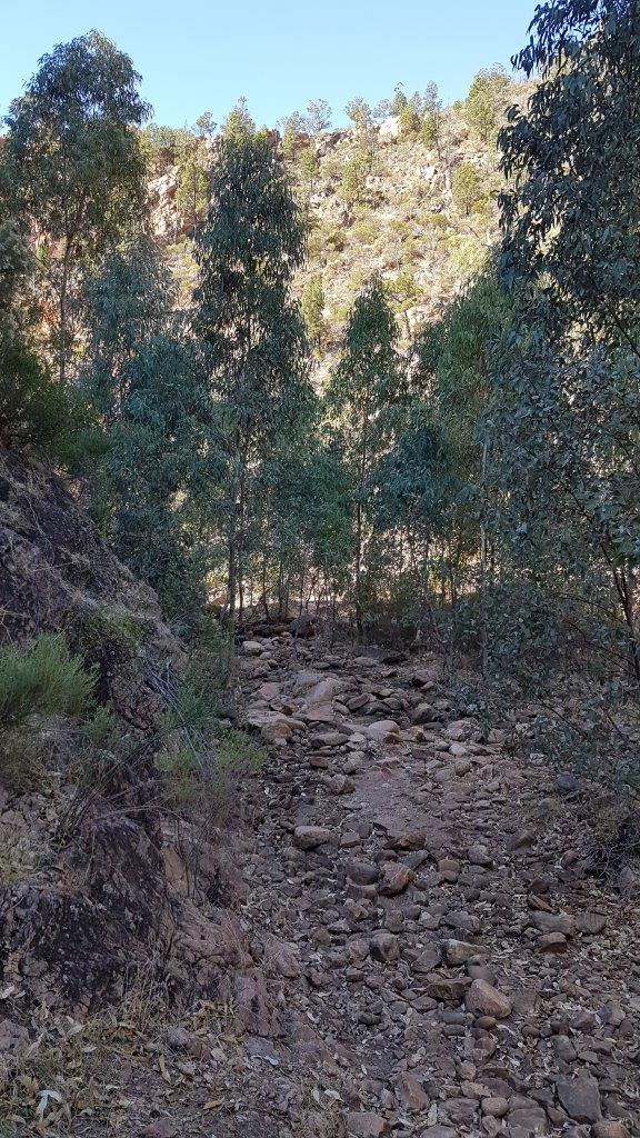
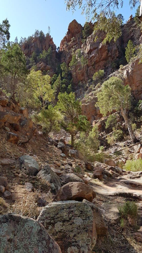
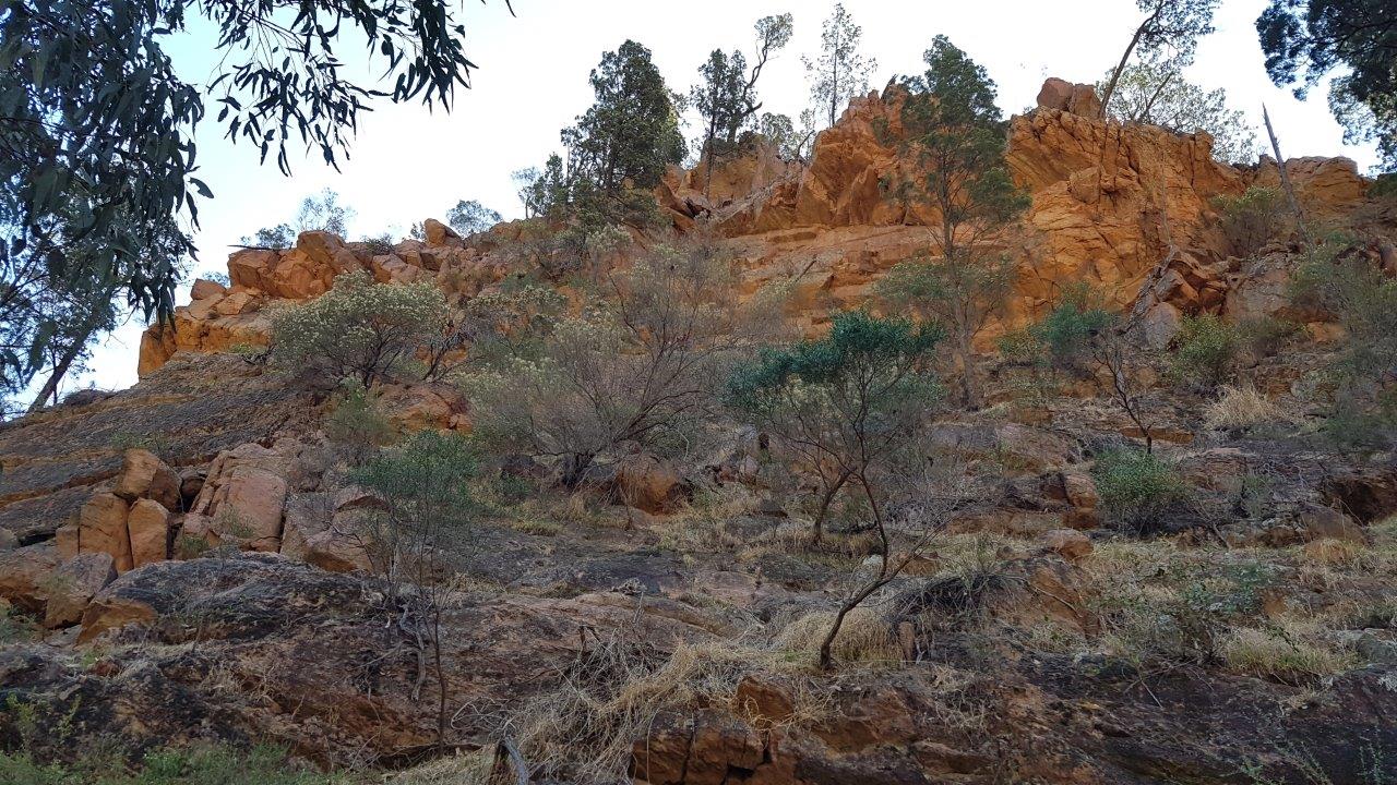
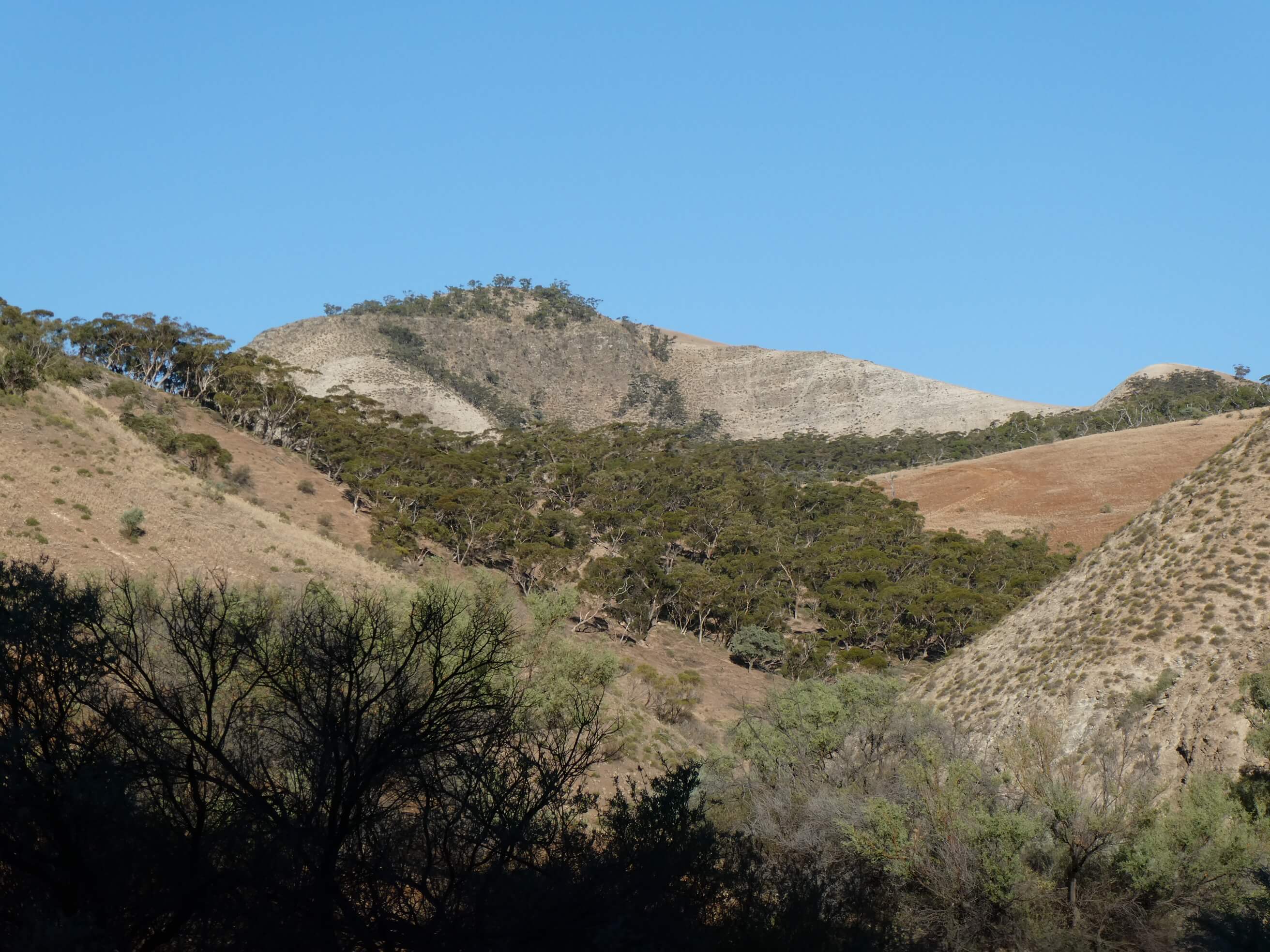
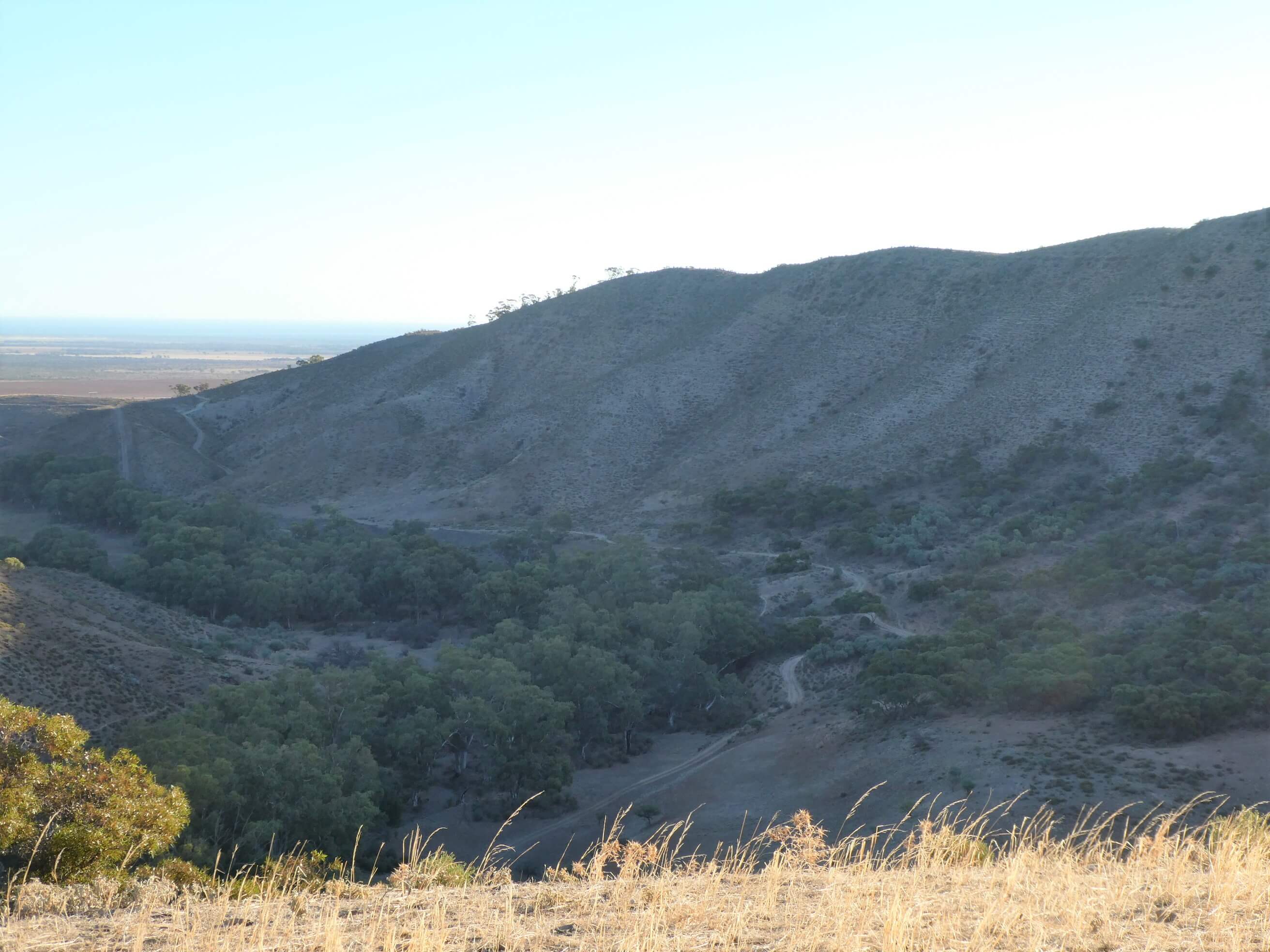
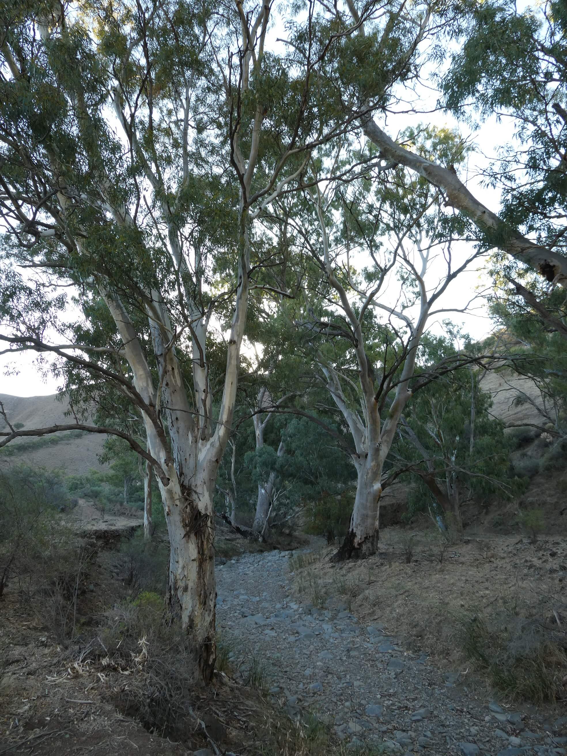
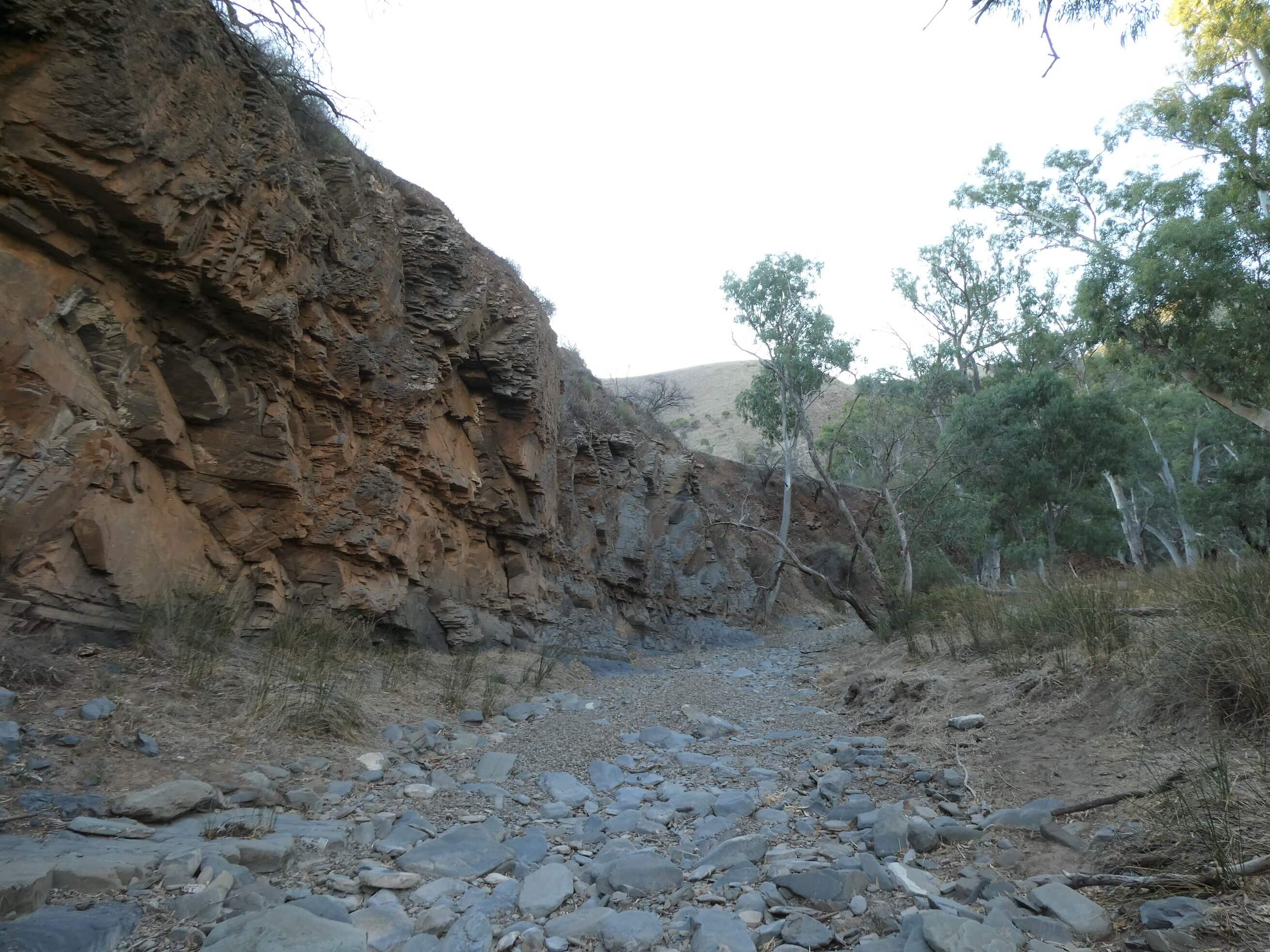
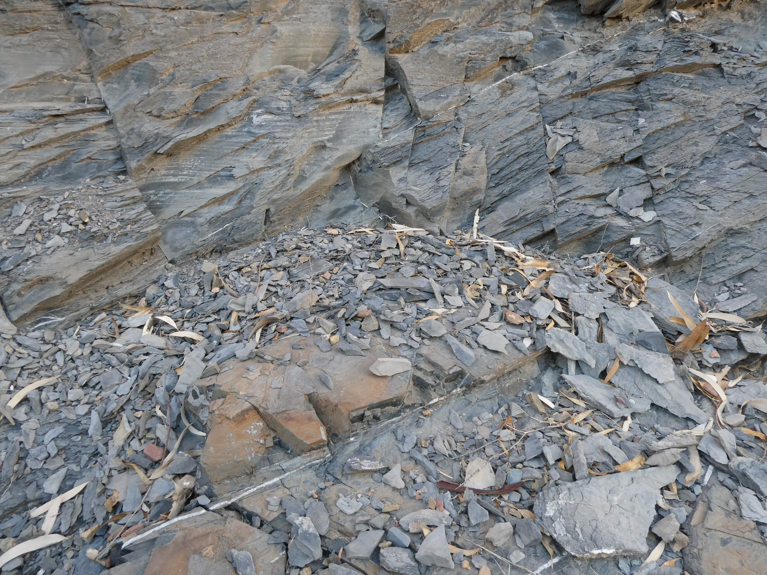
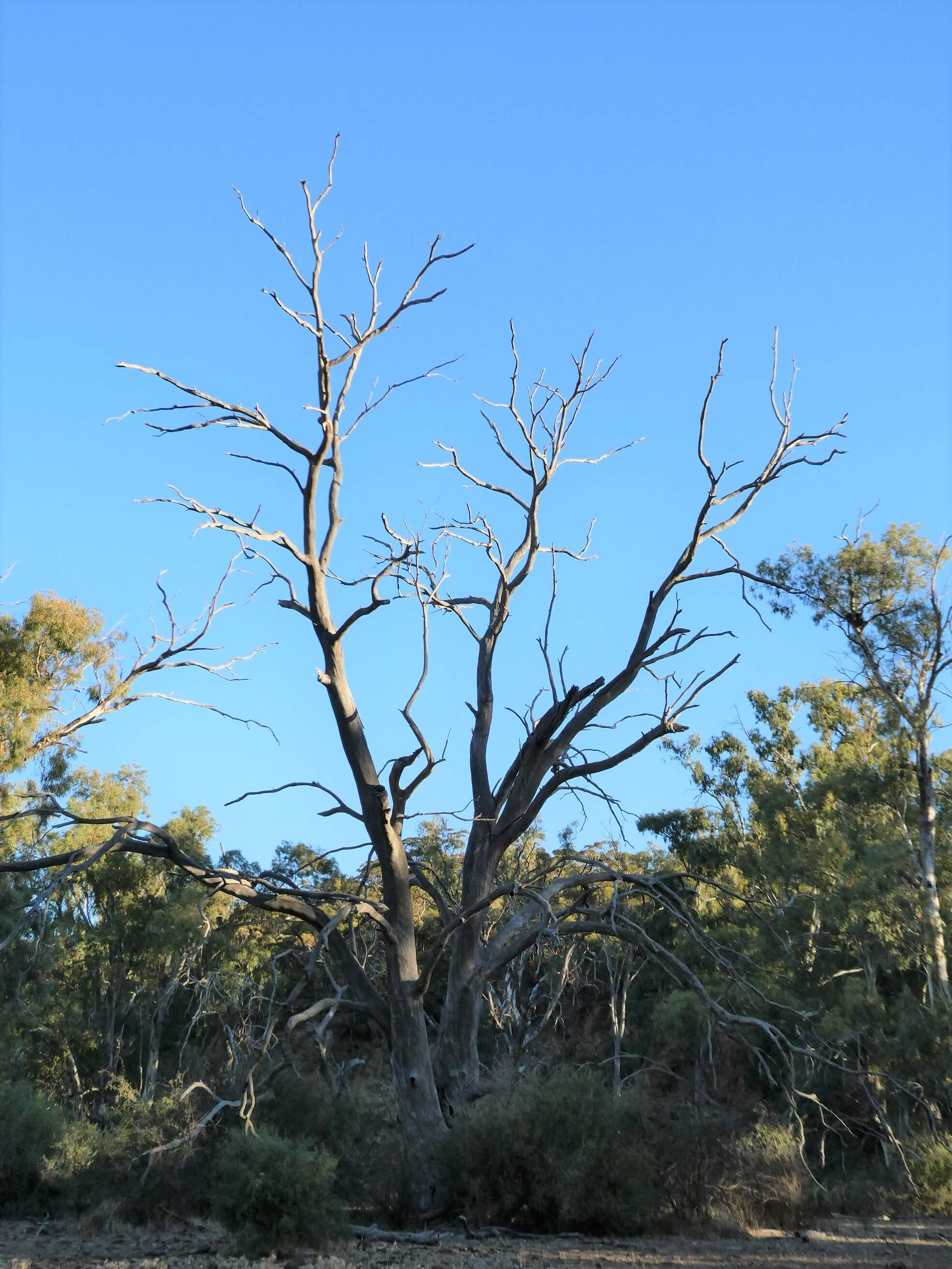
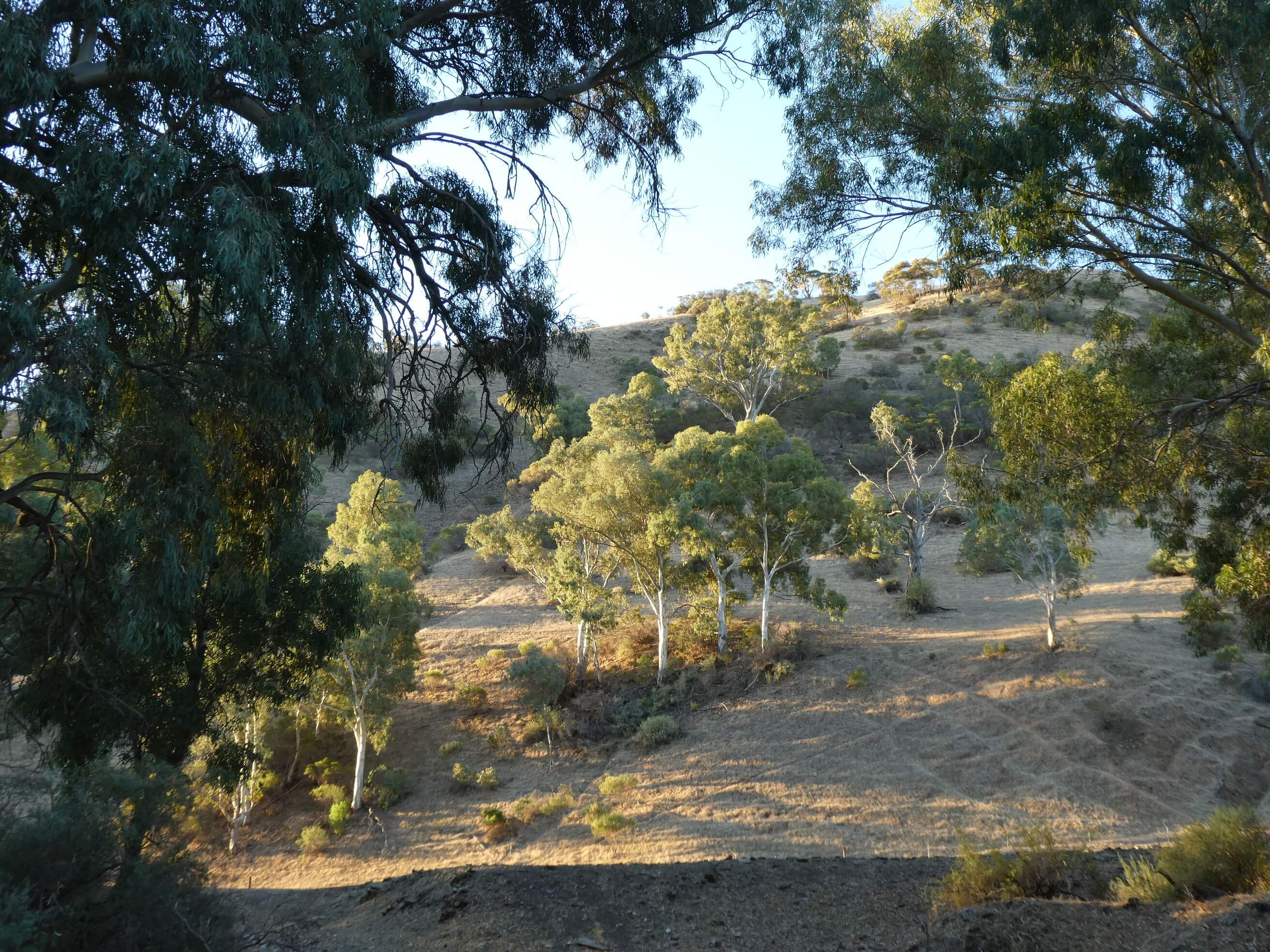
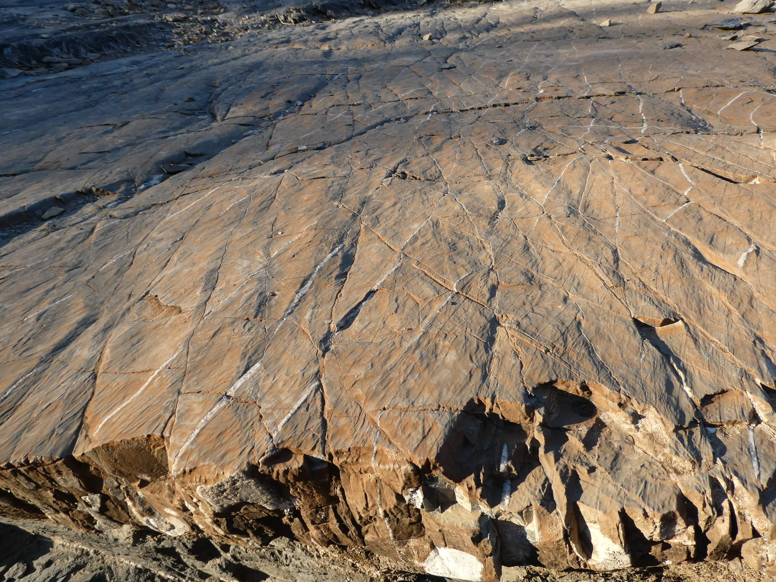
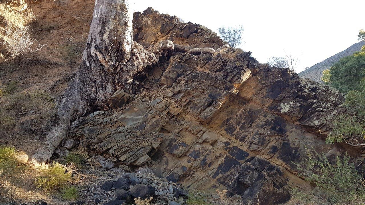
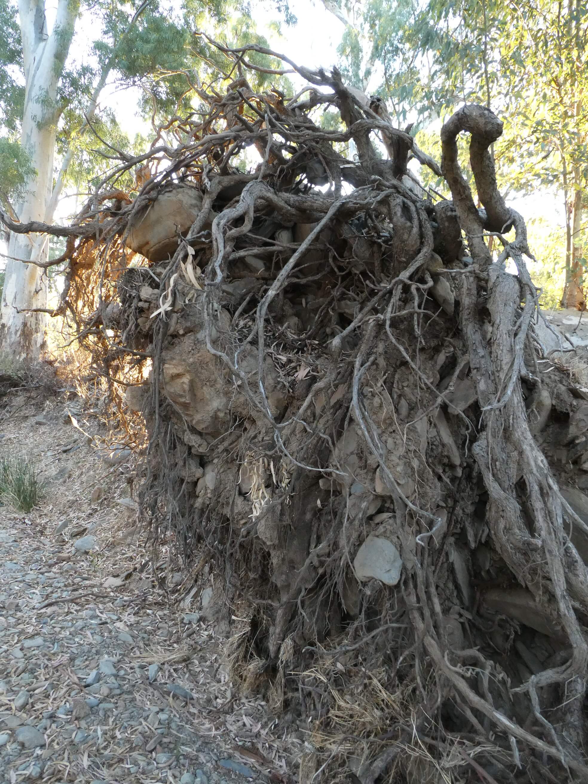
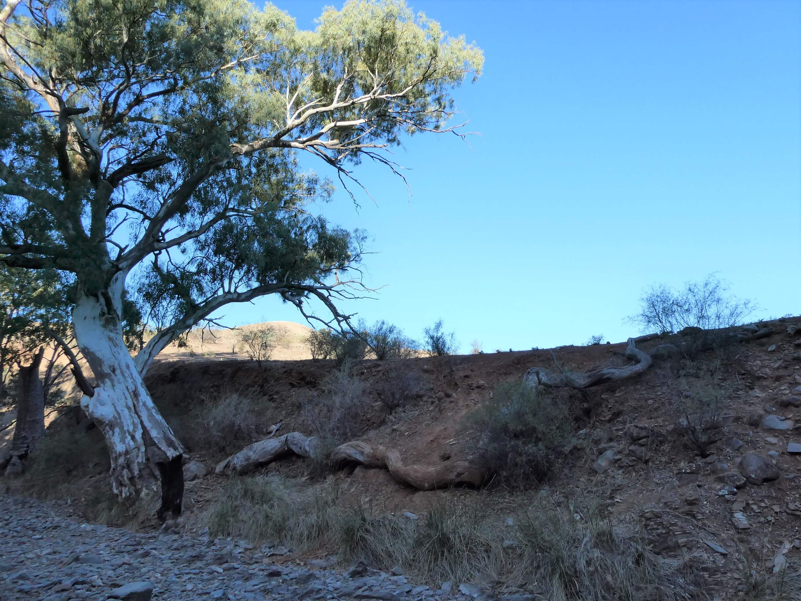
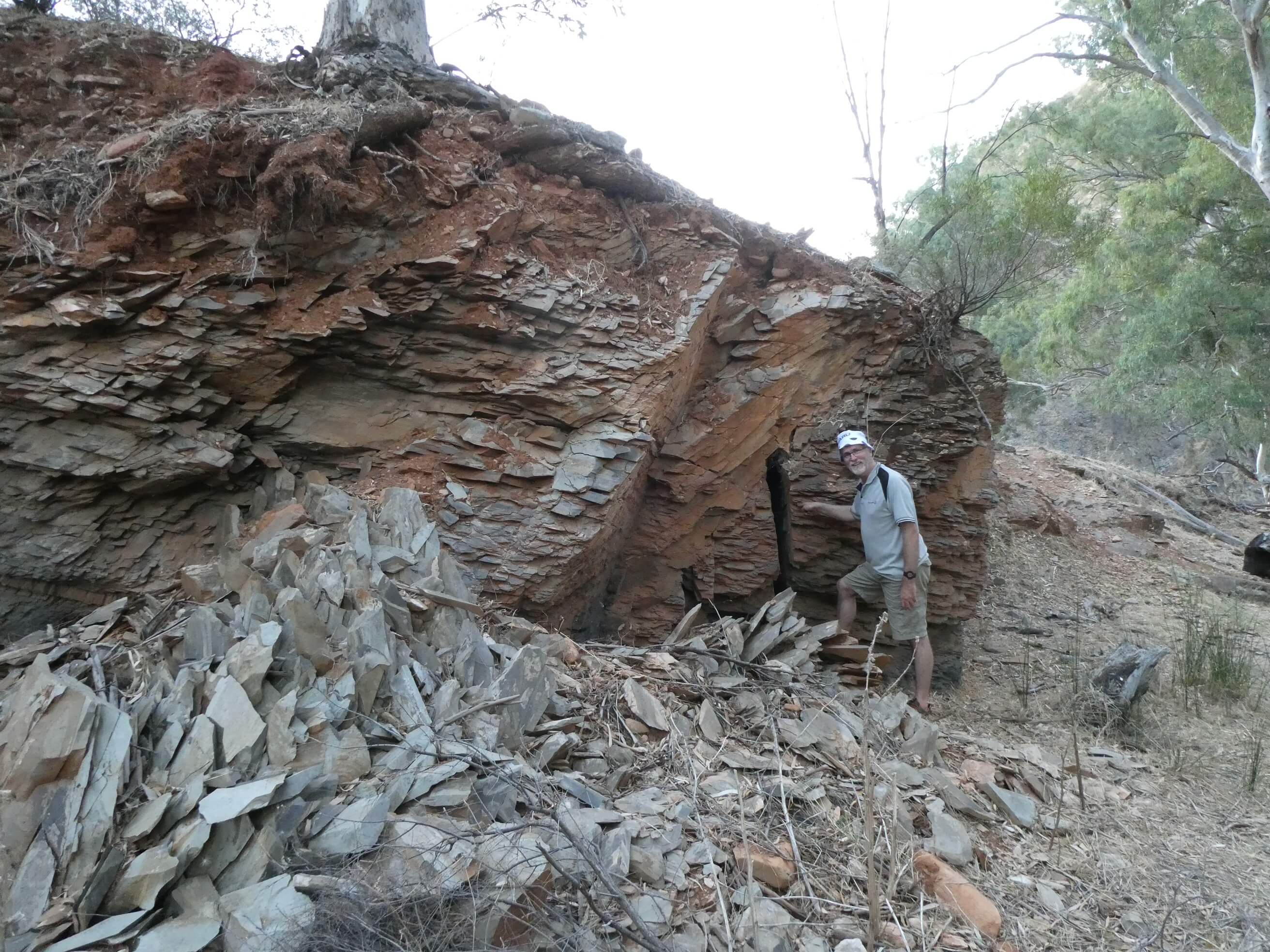
In the late afternoon we decided to walk up “our” creek and followed the various tracks along for a couple of km, enjoying the large gums, greedily clutching rocks in their roots, the dramatic cliffs and interesting rocks.
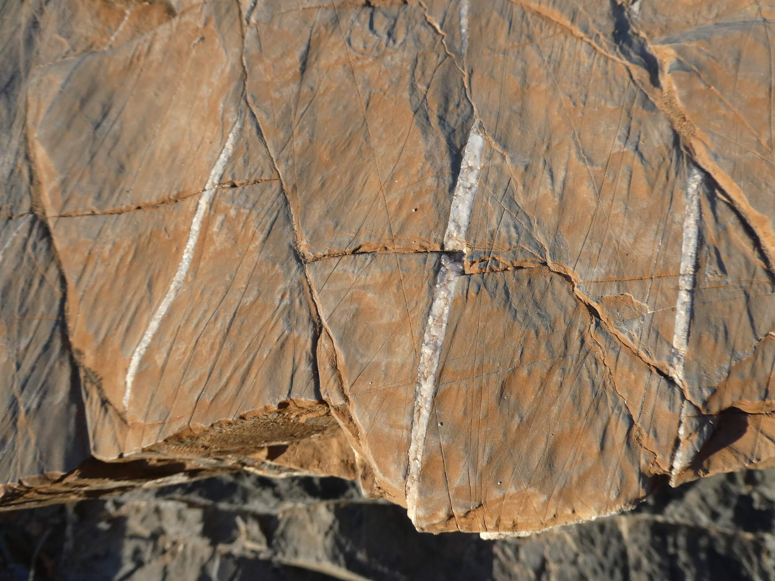
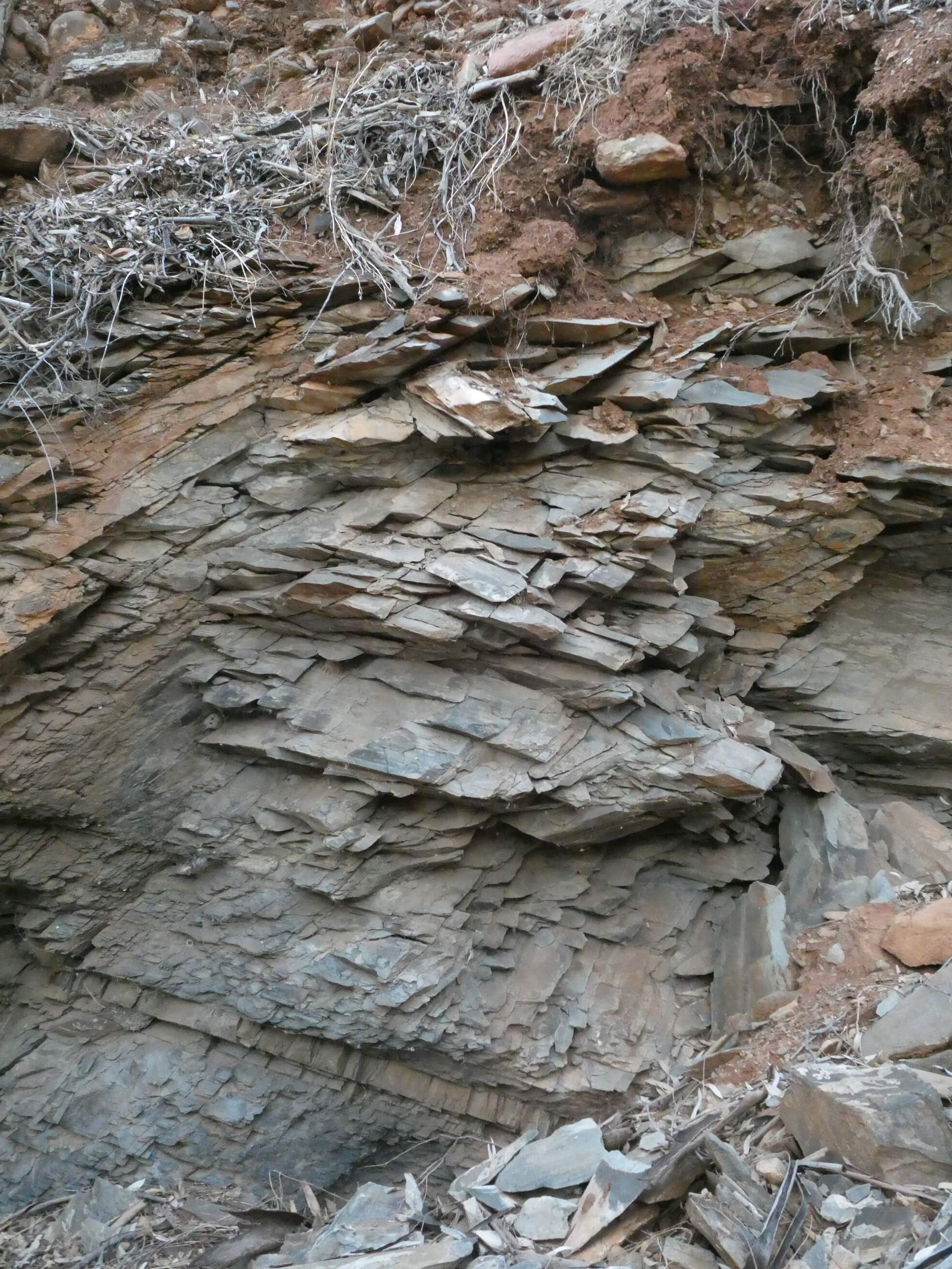
There were some unusual strips of quartz in some of the rocks
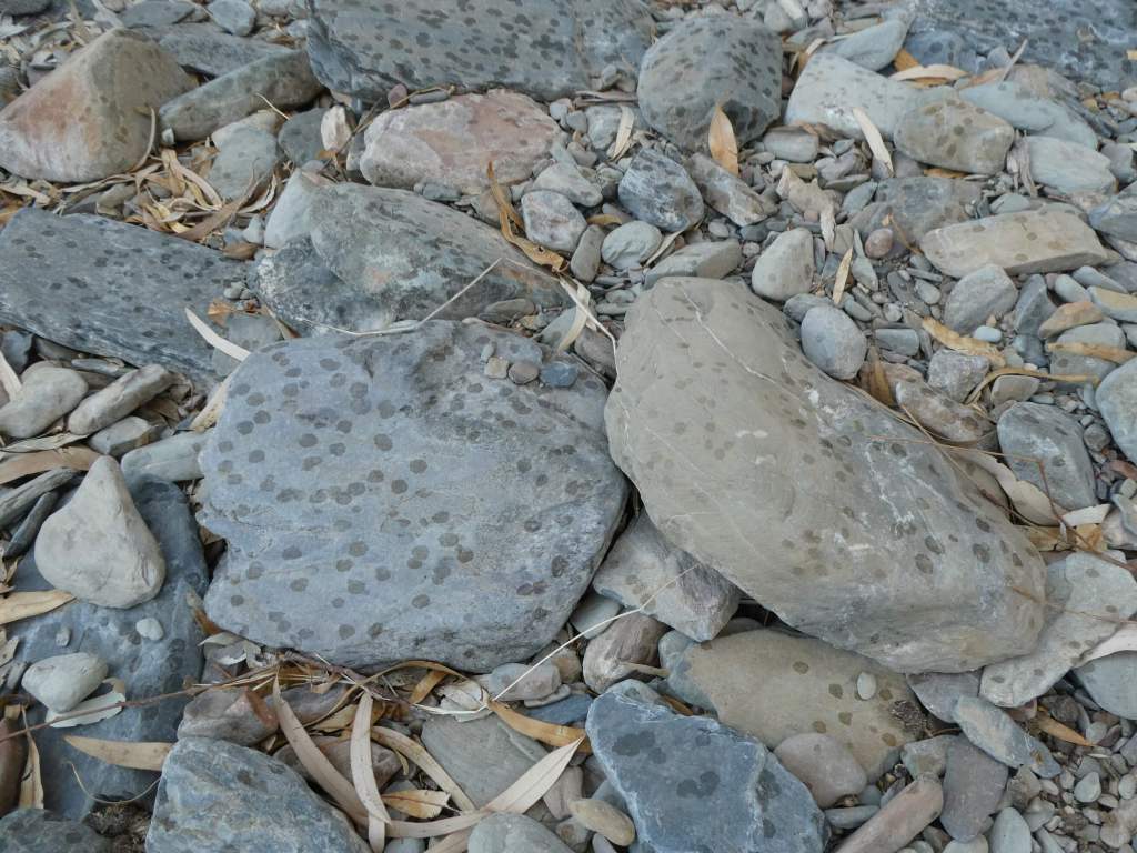
And some strange spots on the rocks in areas- probably oil dropped from trees above.
Some feral goats and a few Roos added to the interest.
We marvelled at how the roots of trees grow around the rocks. They look like greedy rock eating monsters sometimes.
There were some great rocks too.
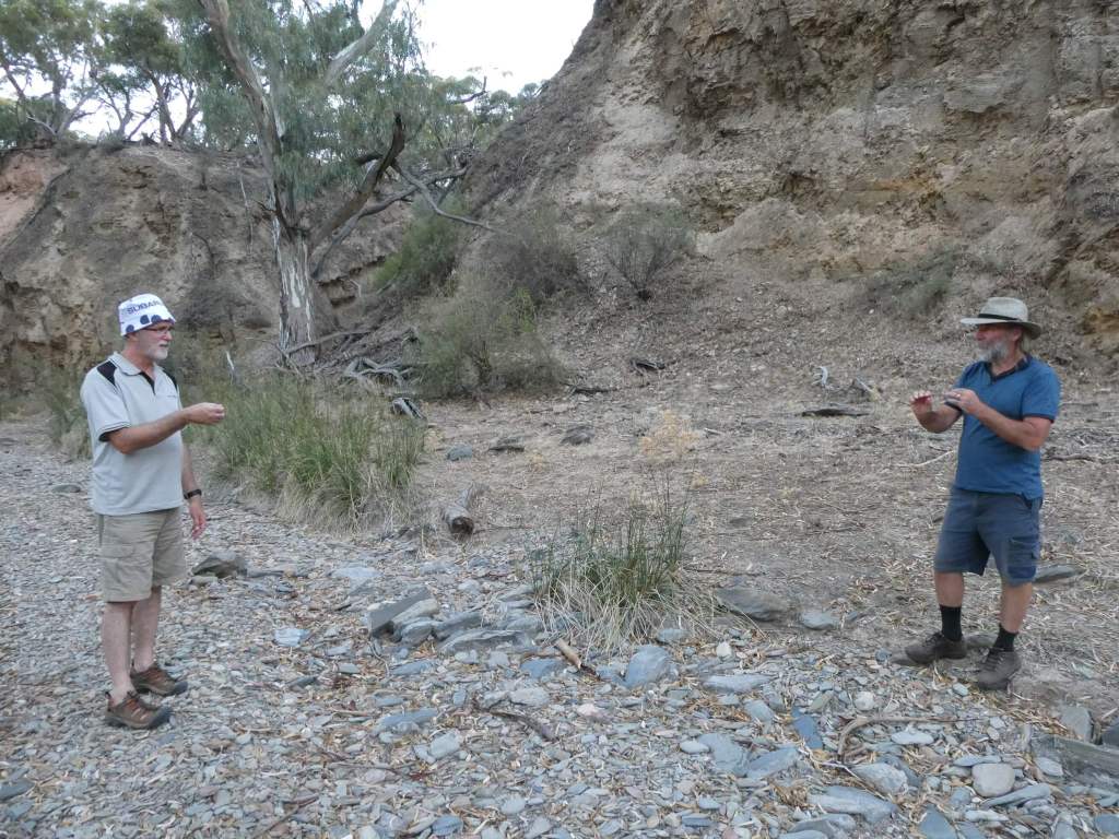
Peter walked into a spiderweb so strong that you could have used it for fishing line. Trev and Peter are holding it between them at this point.
We are very lucky that Peter had this contact and we have been allowed to stay on this land.
Once again we had a fantastic clear night with beautiful stars to admire.