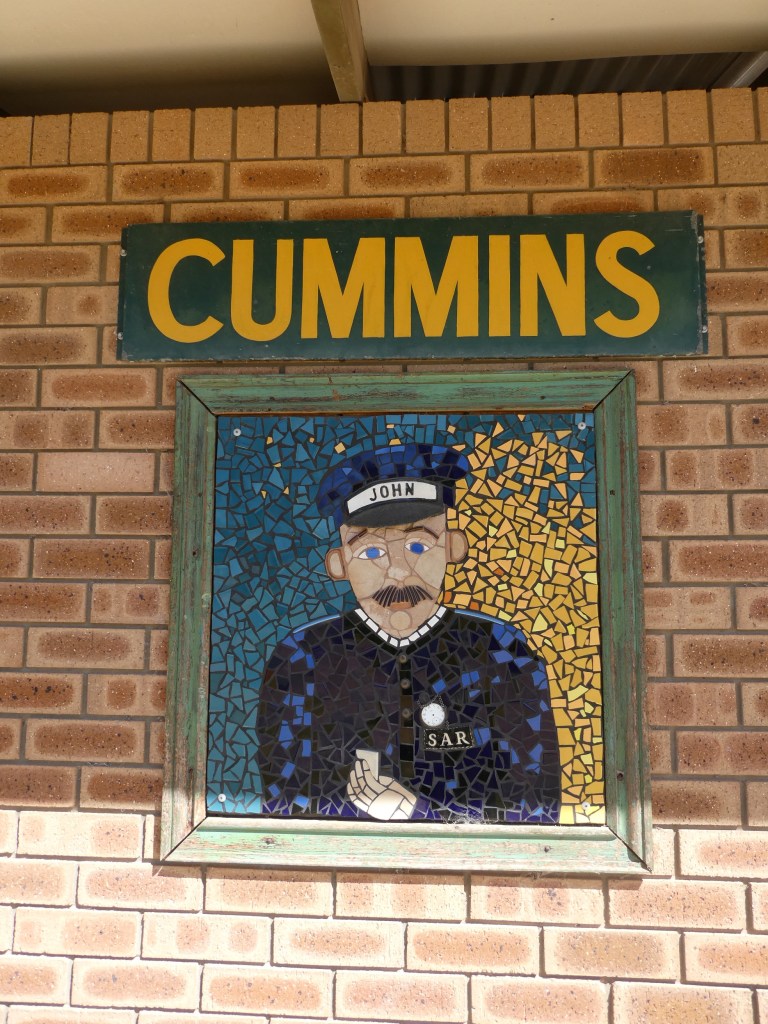
Trevor went off on bus round with Vinnie. The round goes out to the North West of Cummins and is about 100km total-mostly on dirt. The kids all had swimming sports day.
Then we all sat around eating scrumptious breakfast, drinking tea and putting off the moment of leaving. Nat picked some fresh veg for us to take with us from her garden and Barbie loaded us up with jam, preserves, fruit leather and fresh pears.
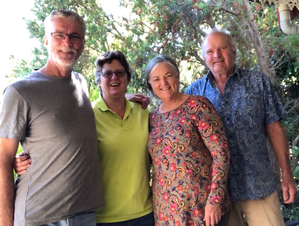
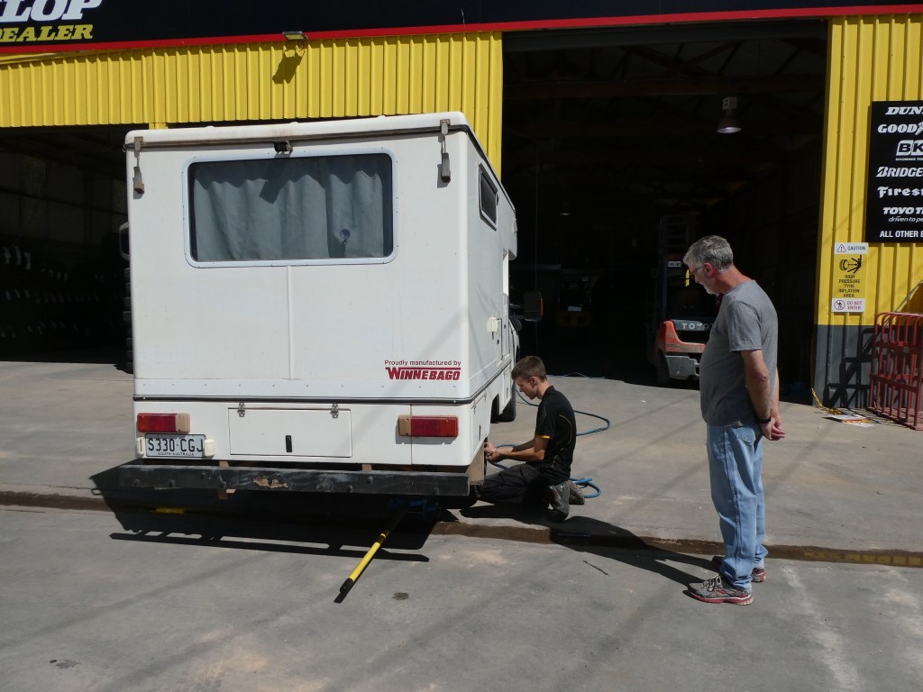
As we went to finish loading we realised we had a tyre with very little pressure. Vinnie pumped it up, we took a few photos of us together to aid the memory
and the tyre was down a bit again! So it was off to the local tyre place for a quick repair. While I took photos of the local loos they found a side wall nick that was fixable and a bent rim, probably from a rock along a track. We were relieved it was fixable as it was a nearly new tyre.


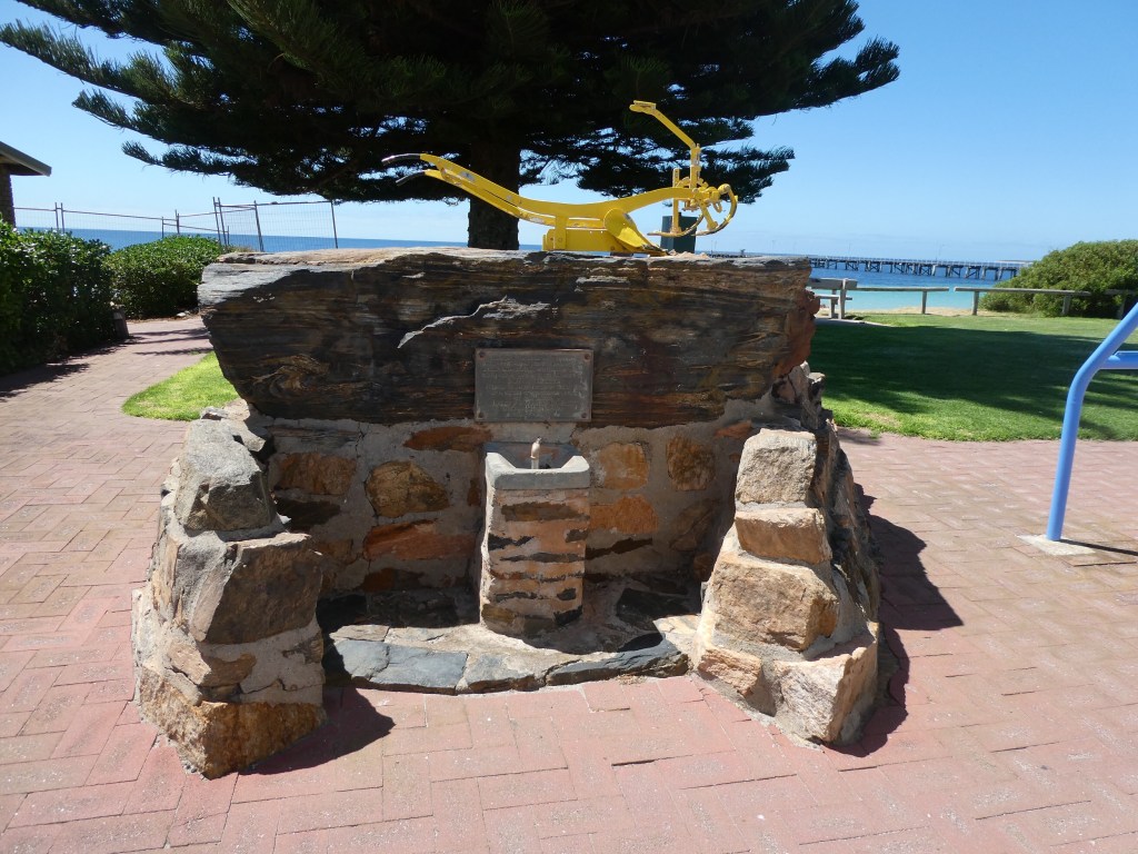
Finally we were actually on the road at about 11 am. We were driving on a road called Bratten Way and we googled to find out who Bratten was. He was a local overseer of works for the Tumby Bay Council and invented the process of road building named Brattenising. If you would like to read more go to the link below.
We read that there was a monument to Bratten in Tumby Bay and decided to find it and lunch there. We found an excellent bakery ( Trev says it was a beautiful Kitchener bun) and then headed for the foreshore.
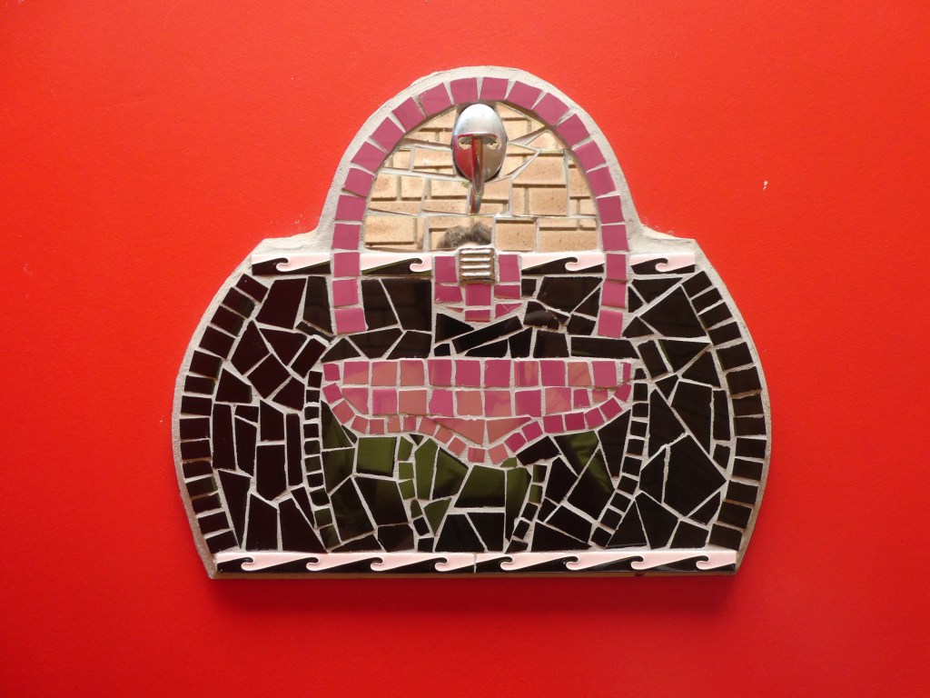
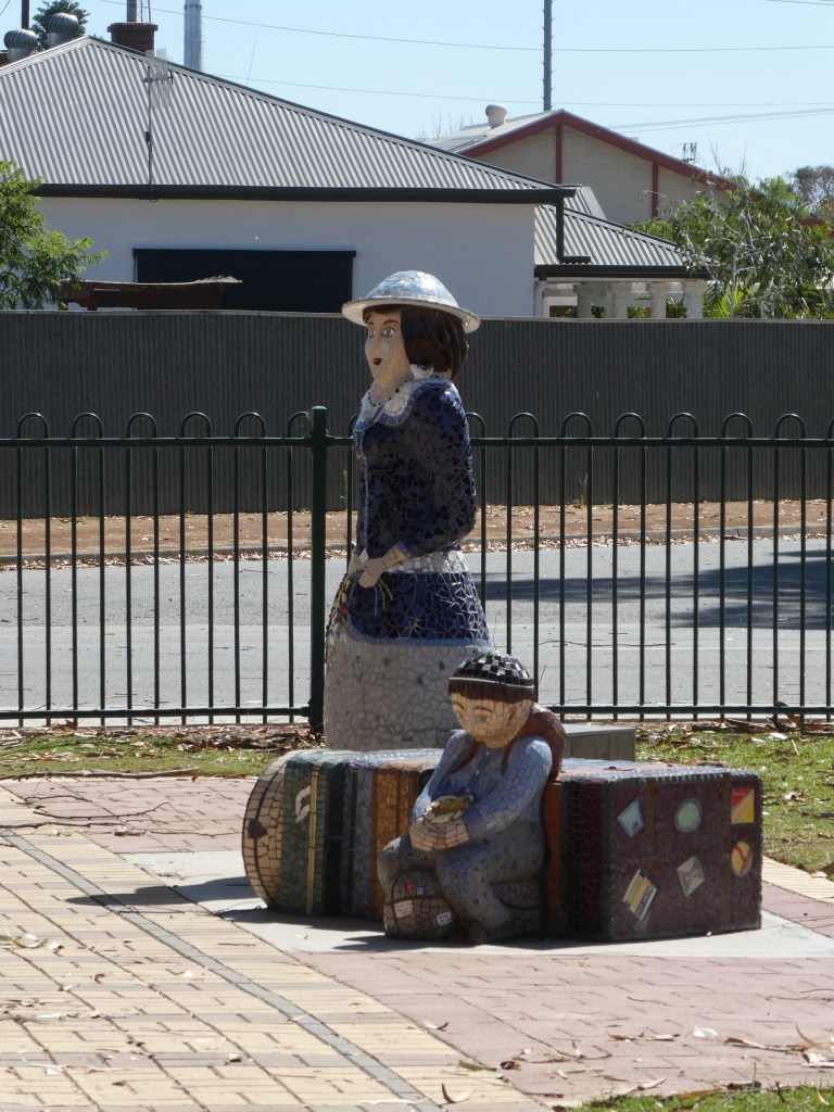
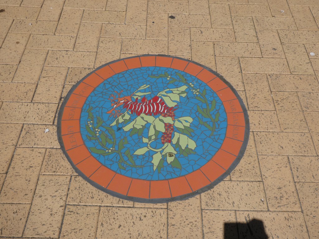
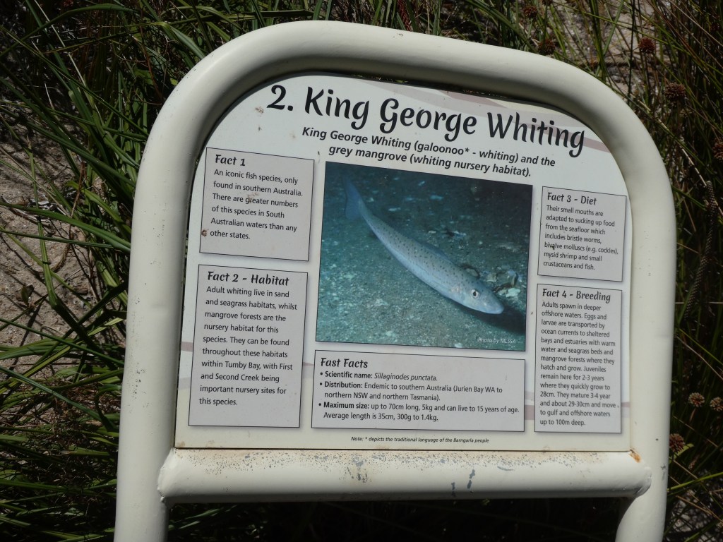
We were unable to walk the jetty due to it being closed. We got into a conversation with a local gent who was touching up some of the local foreshore with paint. He encouraged us to take “The M3” which turned out to be a local foreshore walking track with mosaics featuring local creatures and lots of local information. We spent ages strolling along, reading, photographing and learning and then strolled back again along the beach. What a fantastic little project!


Eventually we headed out of town but it wasn’t long before we were heading off of the main road again and following a sign to a shipwreck trail. Sadly the trail seemed fairly impossible to follow, but we did find some old signs and learnt a bit about local shipping in the old days- including a chute that they rigged to drop bags of grain down from the cliff top into a small boat, which was then rowed to a larger boat anchored further out.

We parked at Point Gibbon and went for a walk across the Sandhills to see if we could see any fur seals. We decided this would not be our choice for a camping area. Lots of vans close to each other in allocated sites.

We drove along the coast road from Port Gibbon to Cowell checking out a number of camp sites and beaches on the way. Most looked windy. Some looked crowded. We passed through Cowell and kept on going.

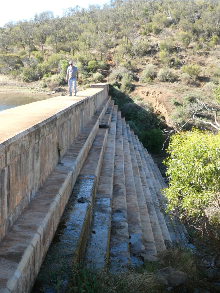
Just outside of town was a sign to Ulbana Weir tourist drive and we decided to follow the signs. Eventually we found a weir with a little dam behind it and pulled up with a view of the water to finally boil the billy.
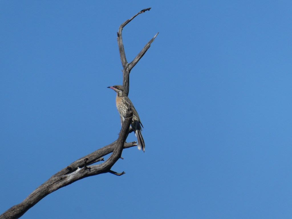

As we sat and listened to the birds we decided that we had come far enough today (a whole 212 or so km) so we searched for the “camping spot” (not where wiki has the coordinates) and pulled in to camp in a flat area beside a couple of old ruined chimneys and a few trees.

Here we pulled together a satisfying dinner from leftovers, back up provisions and newly acquired garden pickings before finishing off a cryptic crossword (only the second one for the whole trip) and heading for bed.
