
Every picture tells a story. Looking at the map above you can see where we hoped to walk (all the tracks shown) and where we managed to get to.
We parked the car and walked in OK from the end of the road, but every track we tried ended up in the water.

It was interesting to get a close up view of Vetch growing supported by Canola.

There were also some pretty river views when we were near enough to admire them.


There were also some very clear roo tracks in the soft ground for us to discuss.

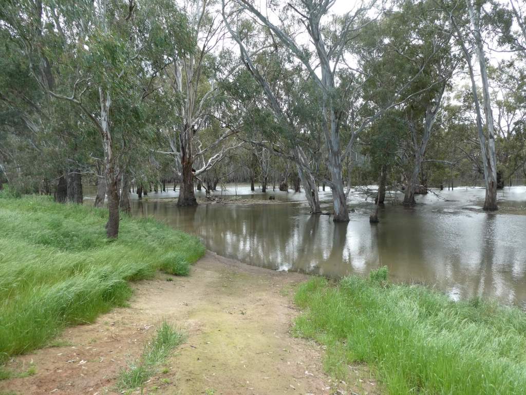
In normal times there might be some very good camping down here, but at the moment you can’t even get to the campsites as far as we could see (except maybe by boat).
If you managed it , there were some pretty clear instruction about the fire building rules.

We gave up on this area for a walk and decided to come back some other time when the river is not so high.
