We travelled further than we intended today – partly due to the terribly hot weather, and the weather warning for the night.
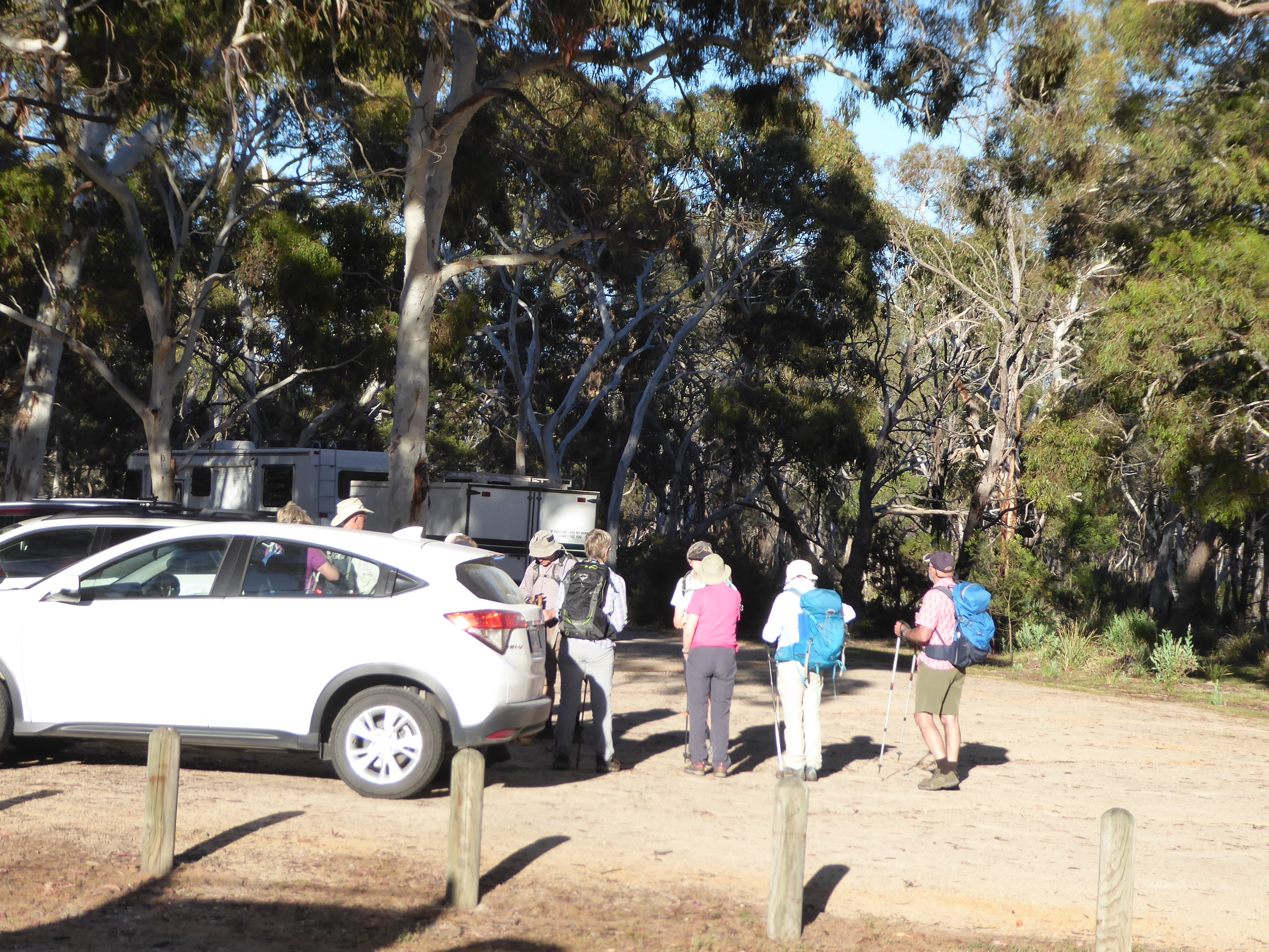
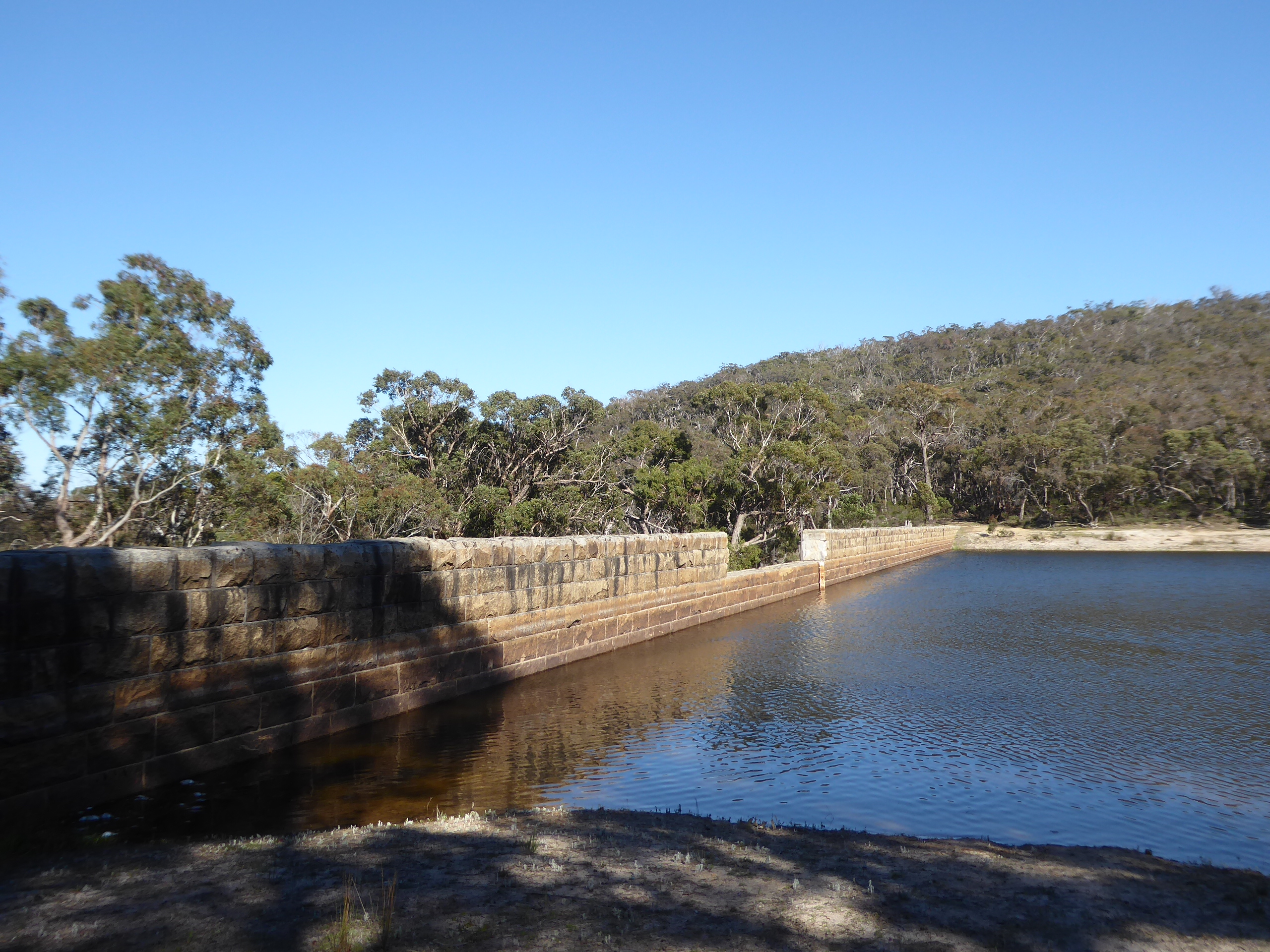
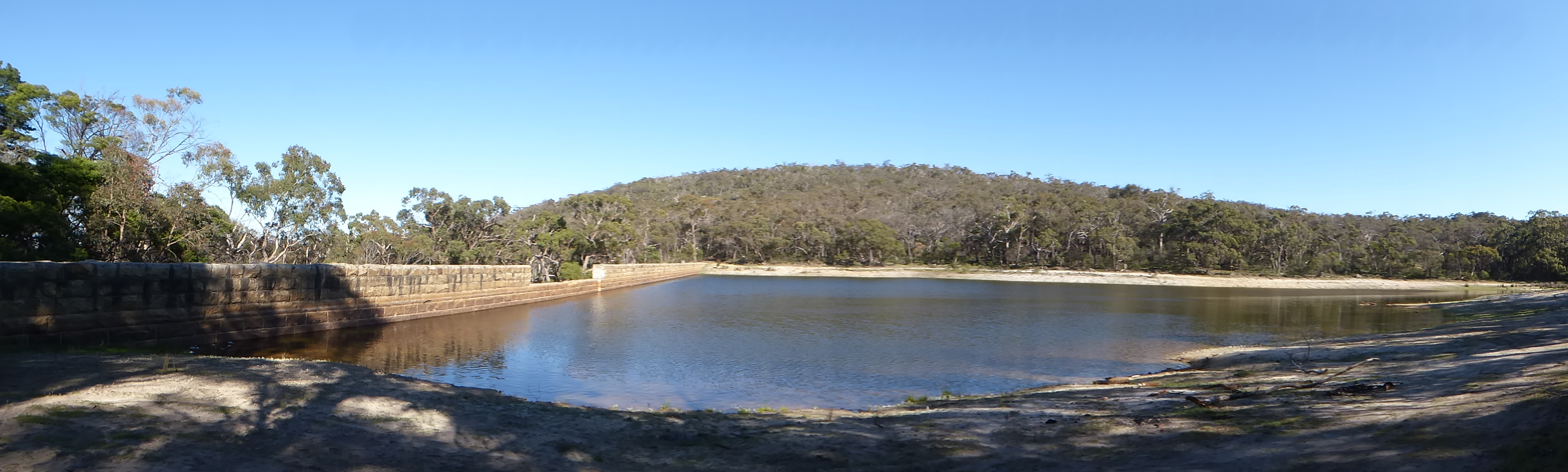
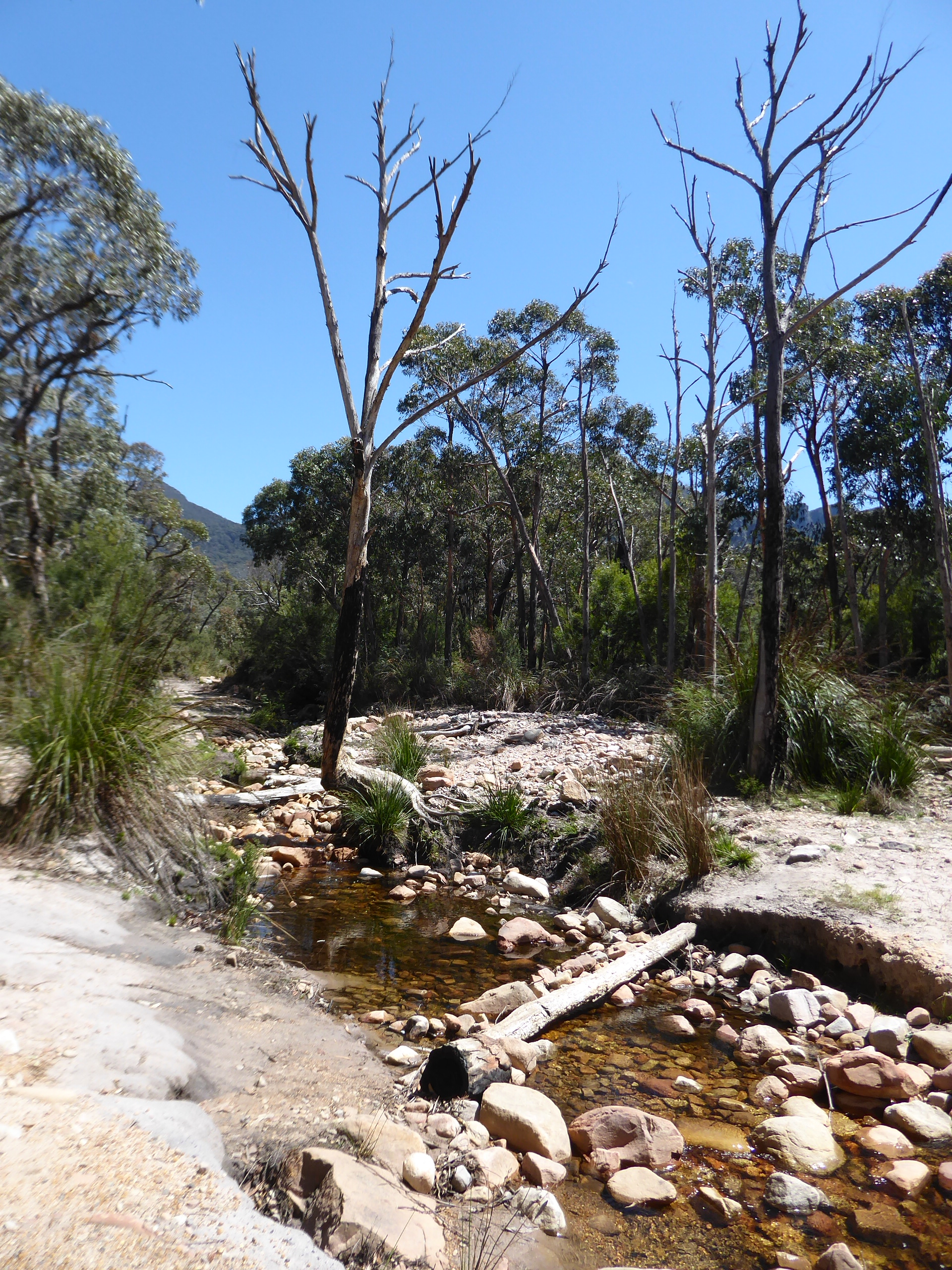
After packing up camp, and watching a couple of walking groups assemble and start walking, our first venture was to take the track up past the back of our campsite and see the reservoir. It was worth the drive – the track definitely needed some clearance to get there, but there was a lovely picnic spot up by the reservoir , and some great views on the way back down.
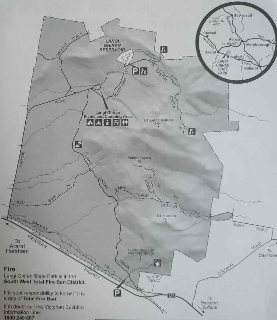
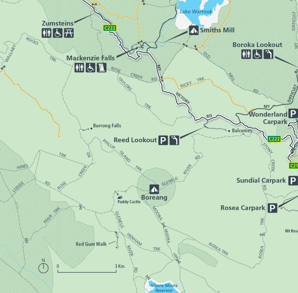
Parks appear to have taken down their map of the park, so I found this one, but the perspective is a bit strange. My apologies in advance. At least you can see where the reservoir is. Having driven in via the Kartuk Rd the day previously, we decided to take the Langi Ghiran Track out. It was well worth the trip in here. We could easily do some of the walks available in here and camp for a couple of nights.
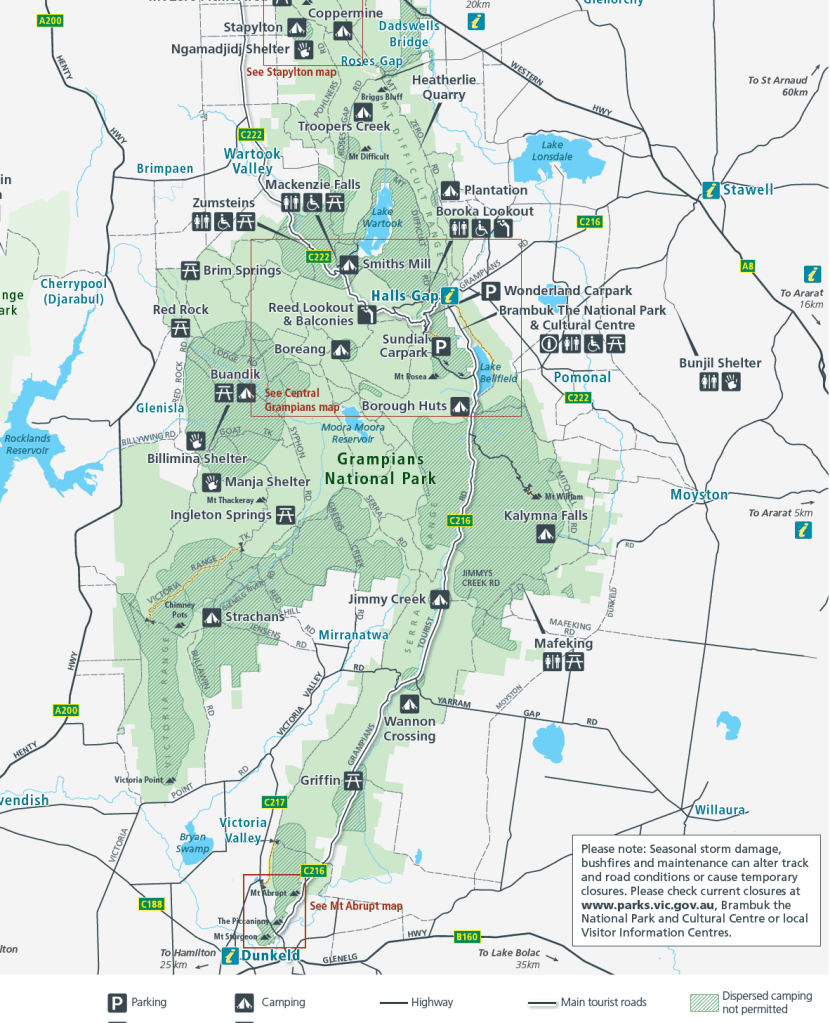
We drove on through Ararat and around to Halls Gap, where we stopped for morning tea and visited the Parks Centre. We picked up a driving map of the Grampians and clarified the camping situation. As you can see on the map below, there are hashed areas and non-hashed areas. “Dispersed” camping is allowed in the non- hashed areas.- This means you can camp anywhere you like without camping fees and booking a site.
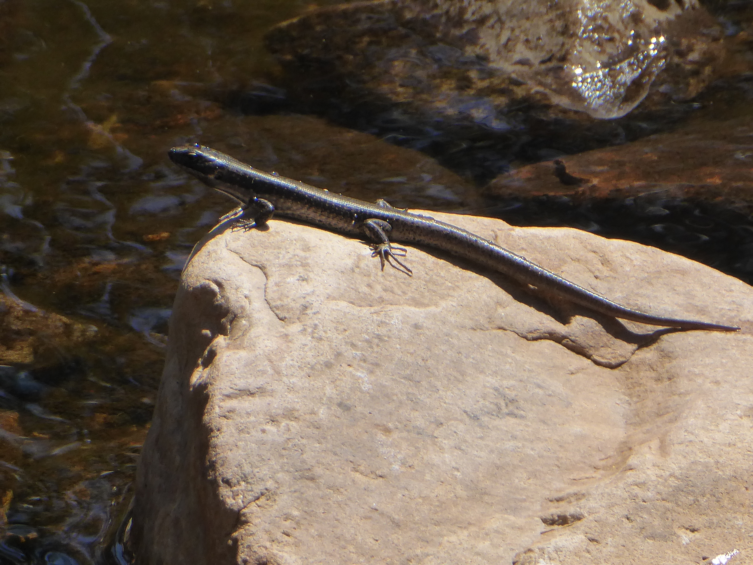
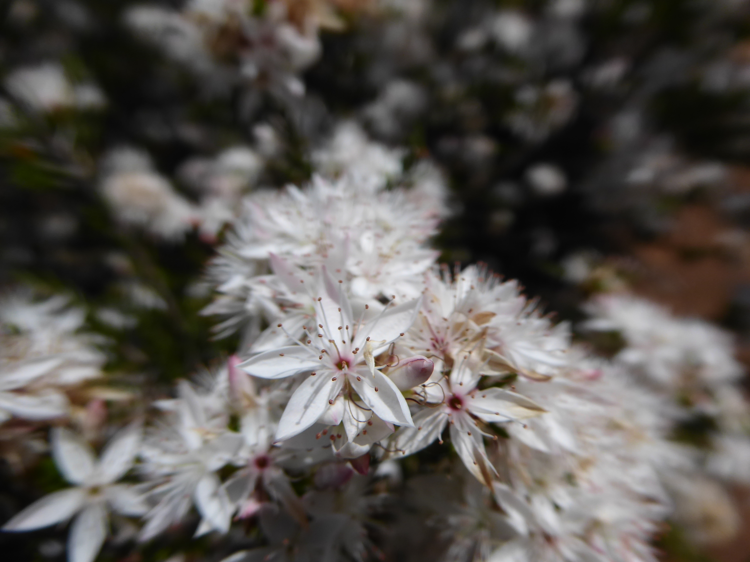
We decided to drive some of the Grampians that we haven’t seen before , with the idea that we might stop and camp somewhere. We headed south out of town, past the Lake, and followed as close to the eastern edge of the park as we could, stopping at Kalymna falls for lunch. We decided not to walk the hot track to the falls, but sat and enjoyed watching a little lizard as he rock hopped in the quiet pool at the picnic stop.
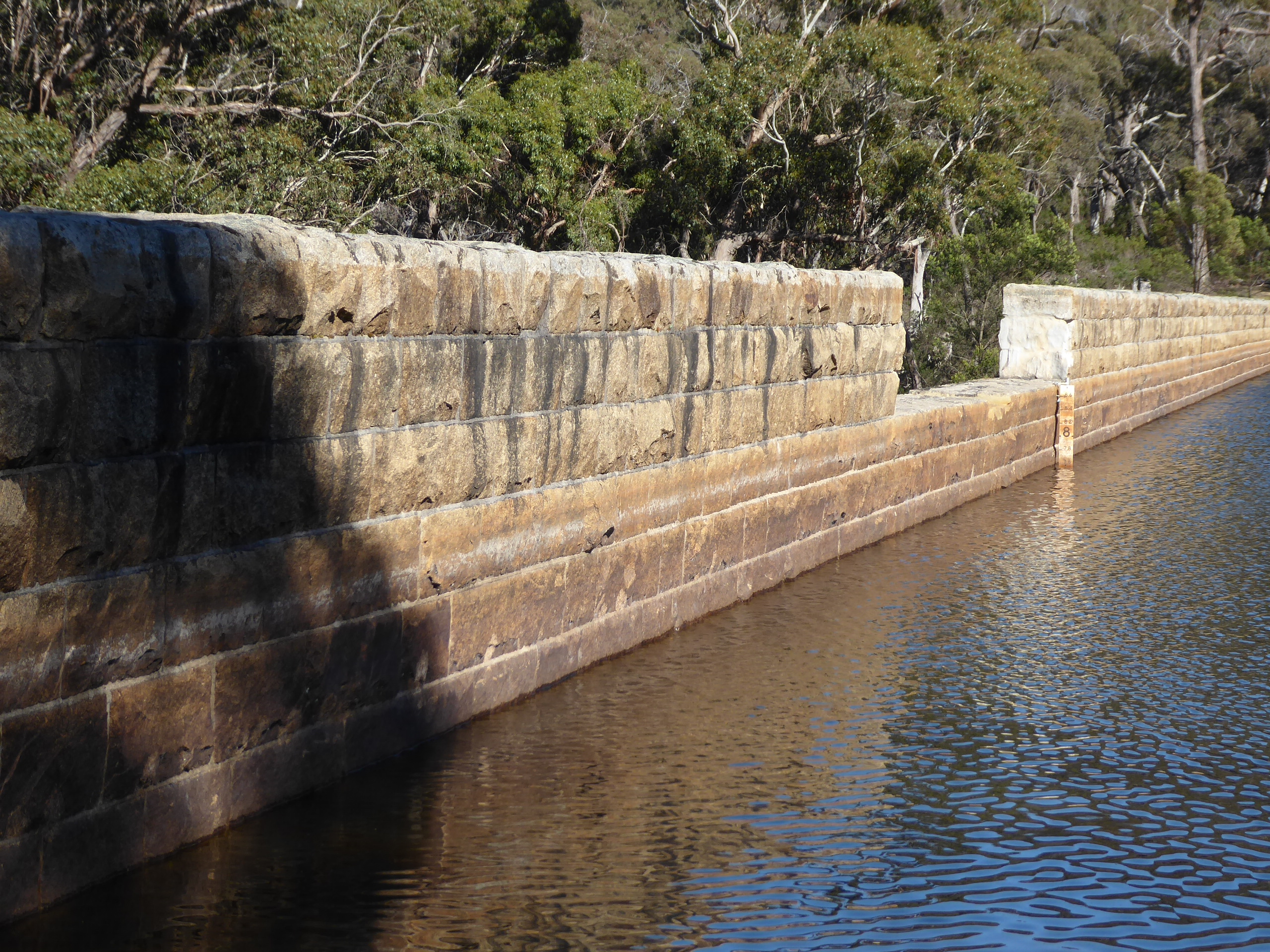
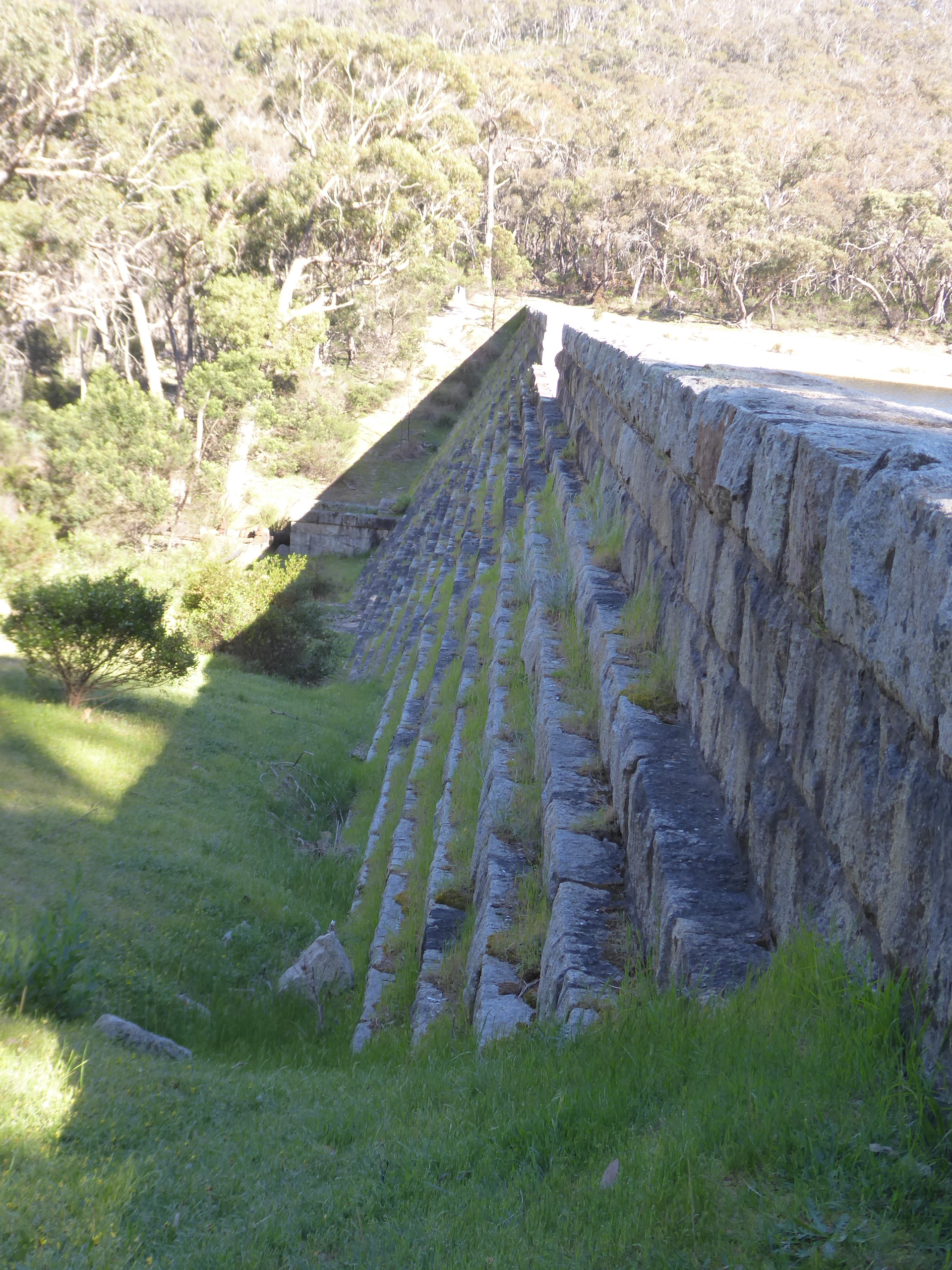
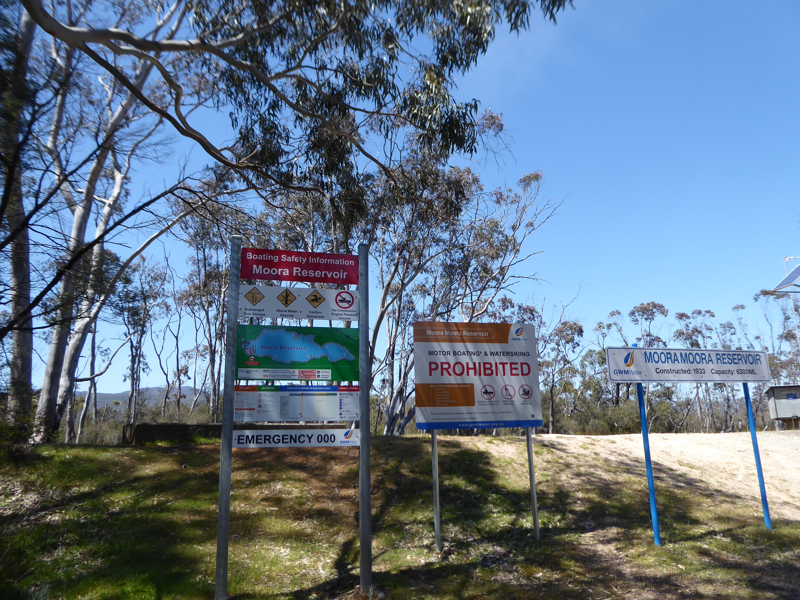
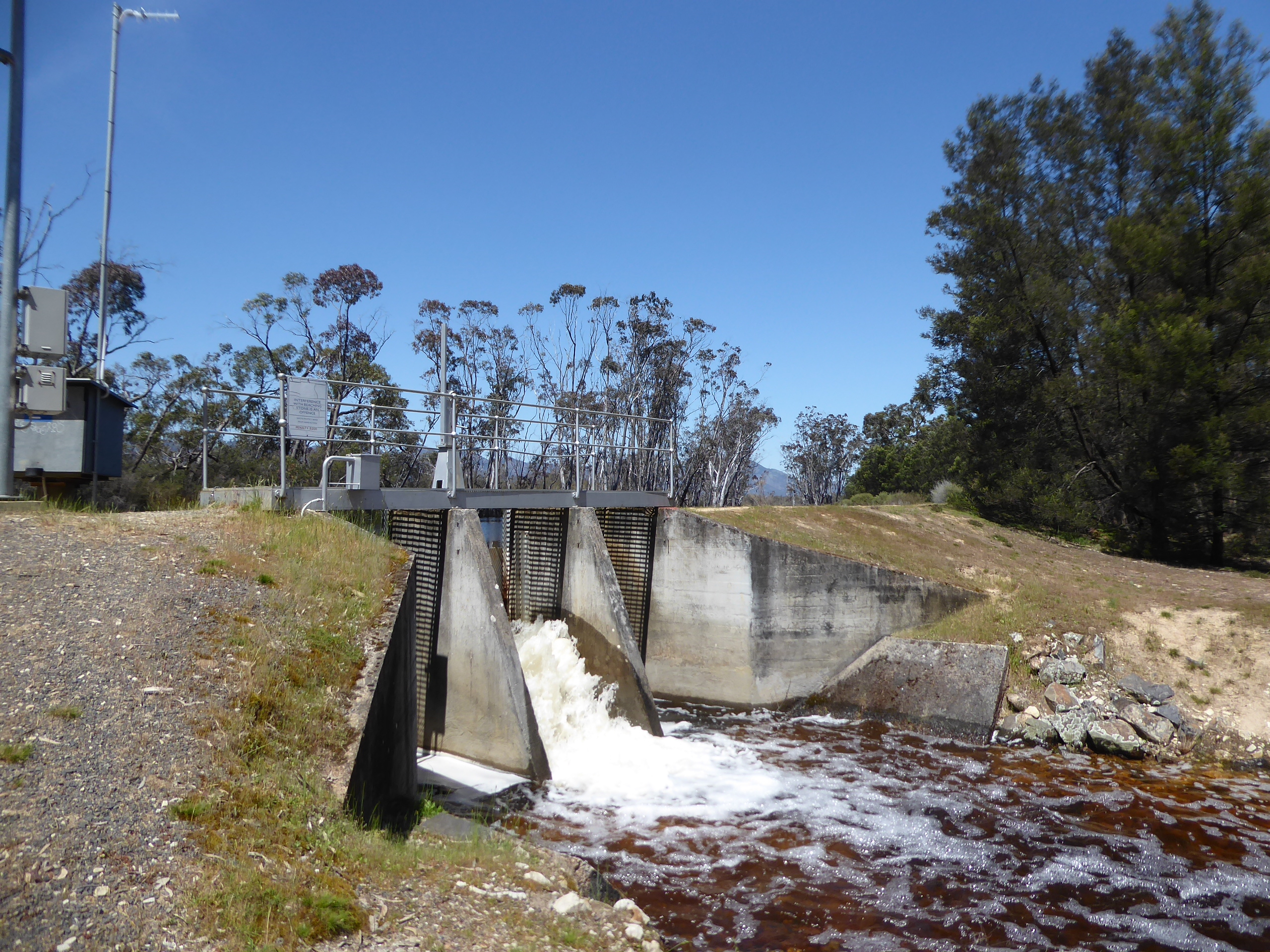
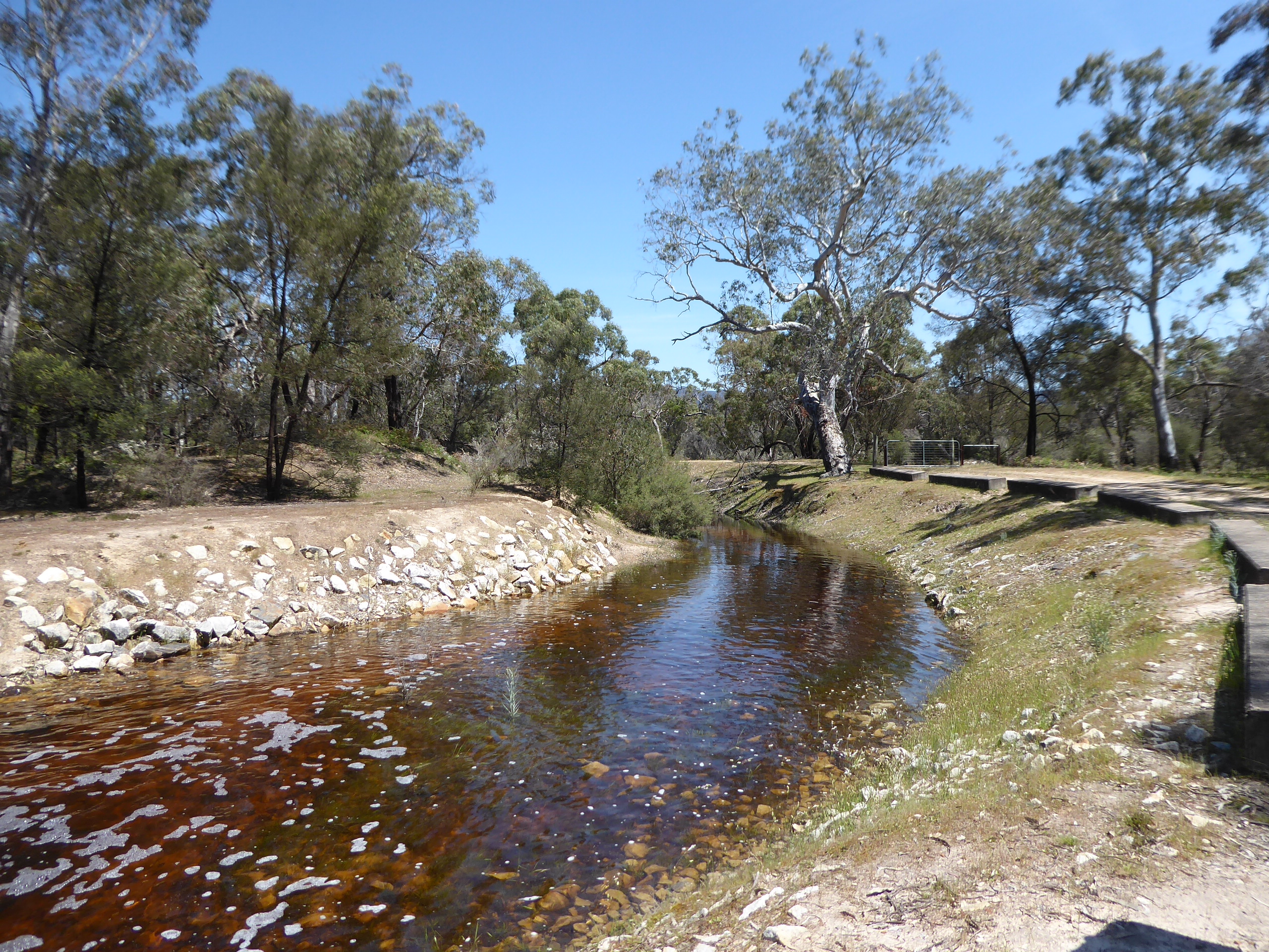
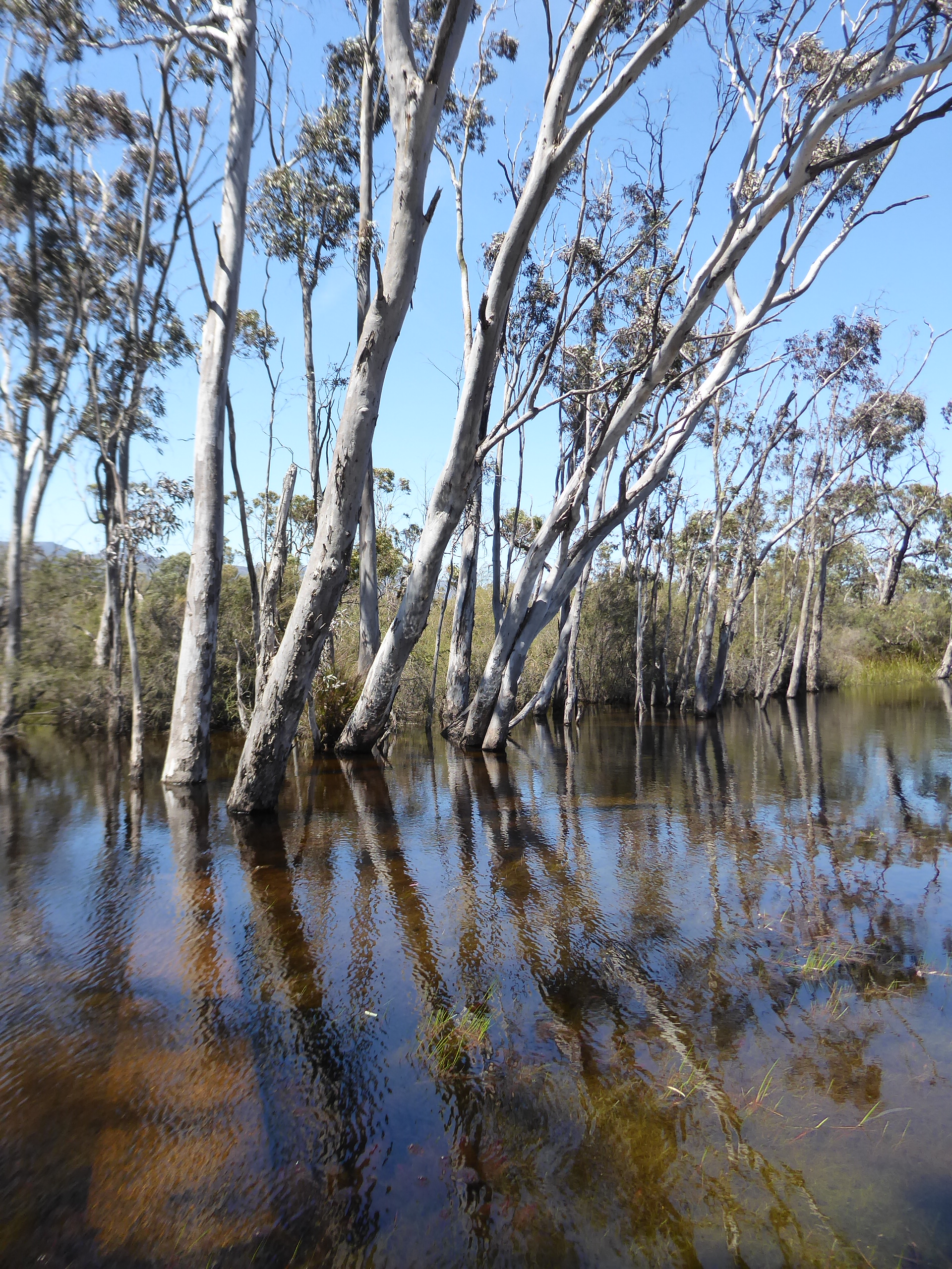
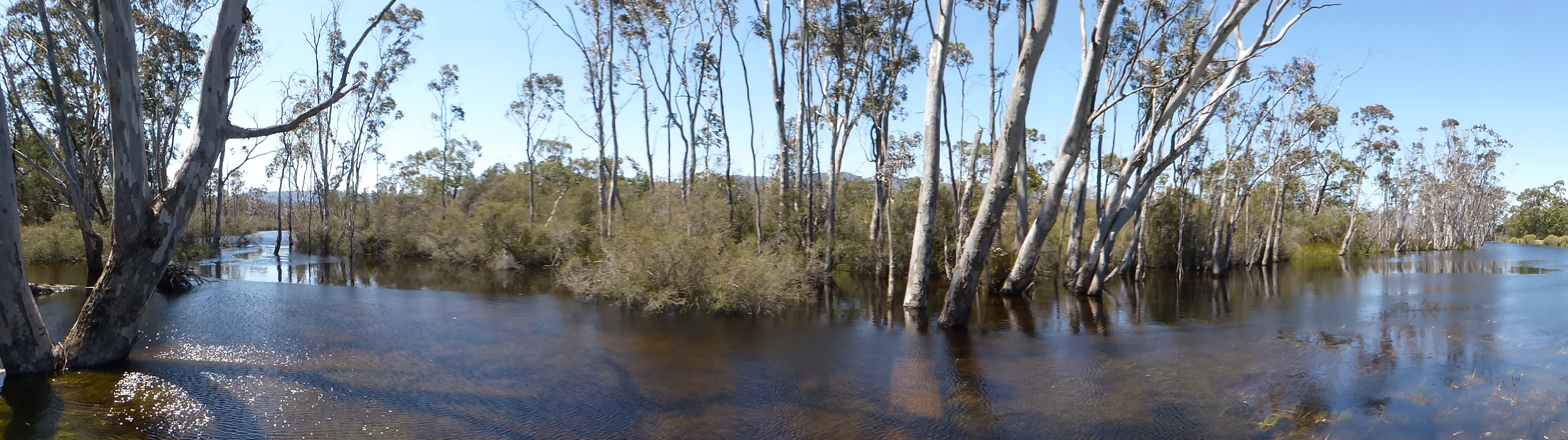
We continued on our way via Mafeking Rd, Jimmy Rd and Serra Rd and made our way to the Moora Moora Reservoir, where we stopped to admire the potential campsites and to watch the water in the small spillway. This would have been a great place to launch the kayak for a bit of a paddle on this very warm day.

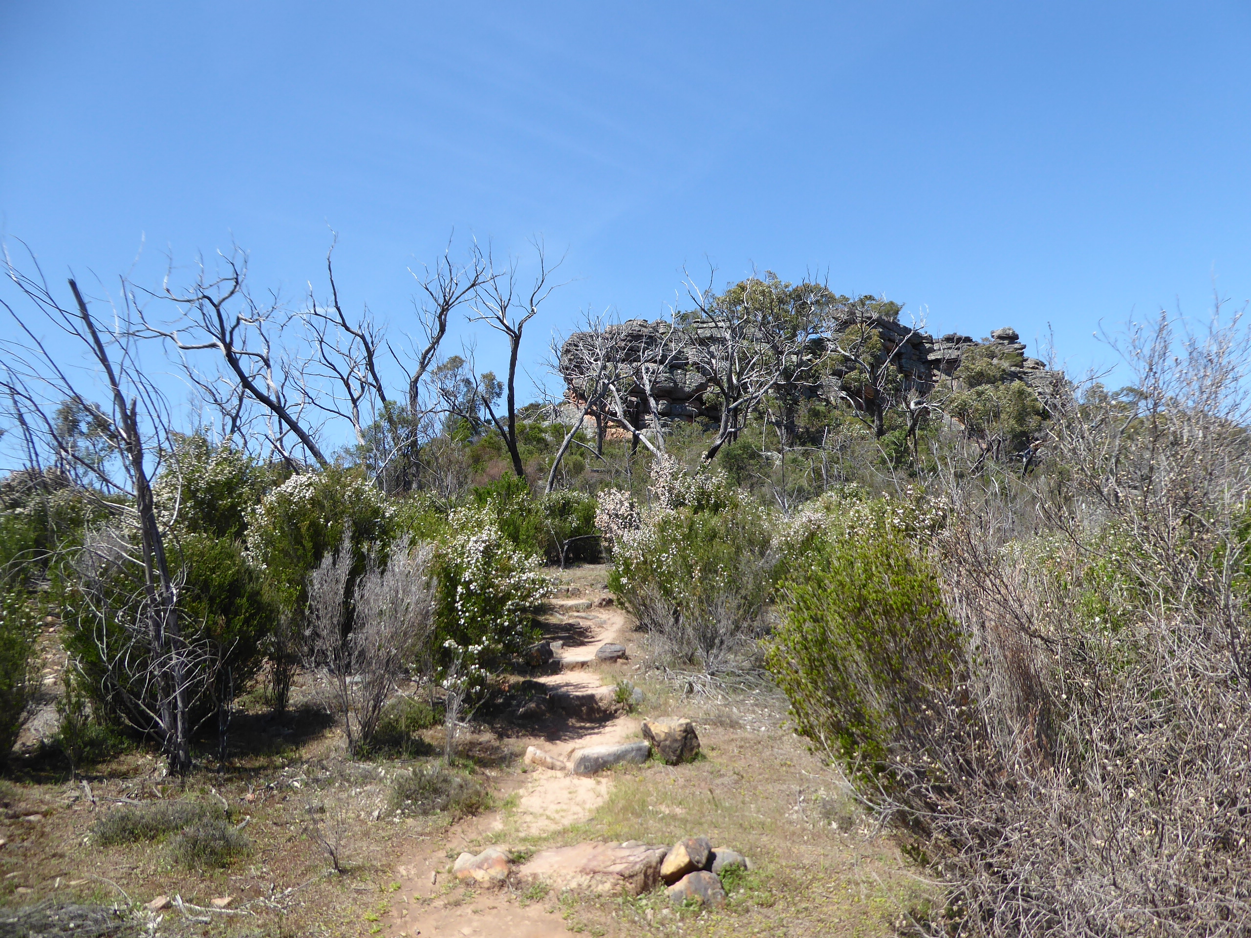
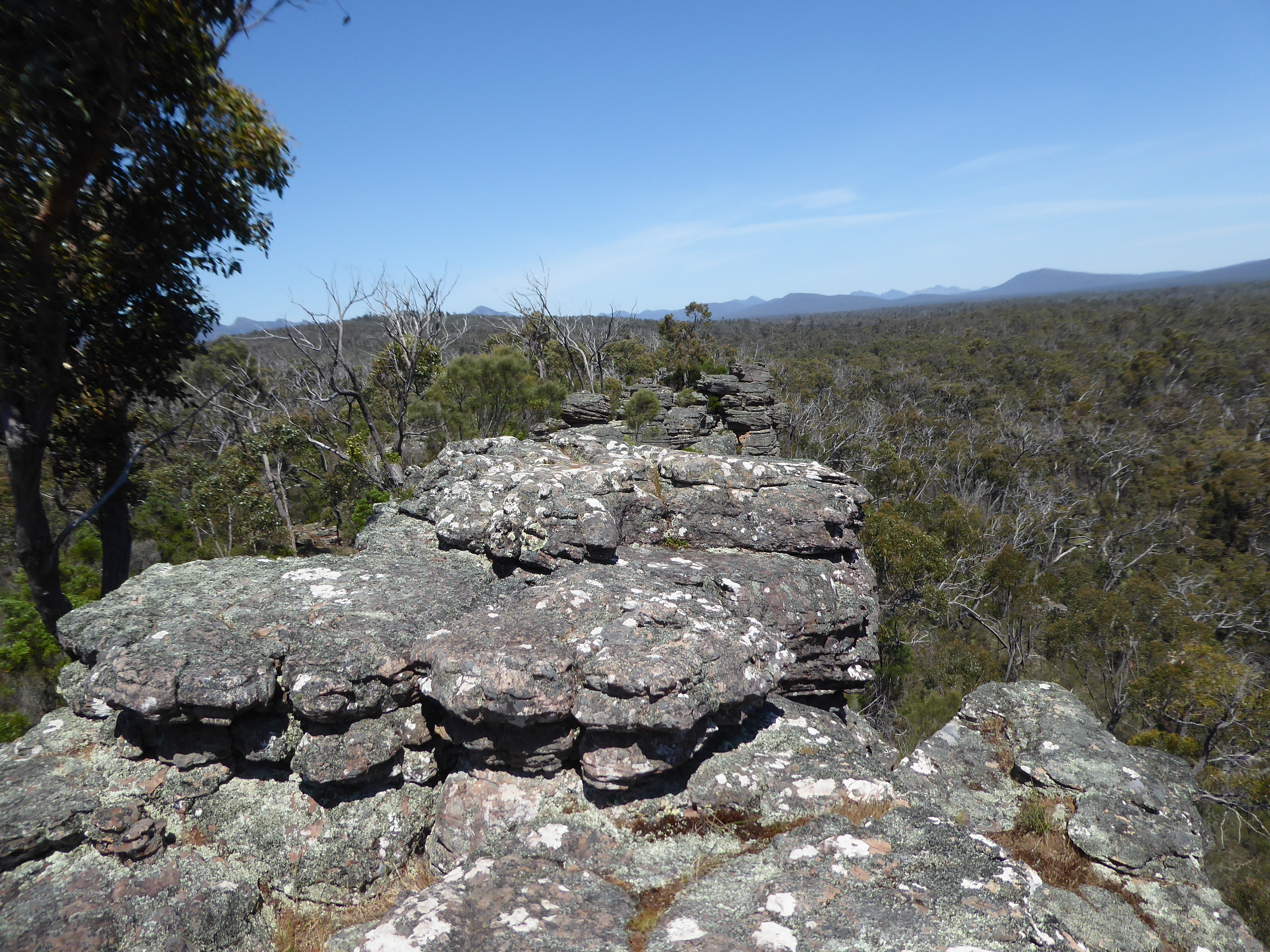
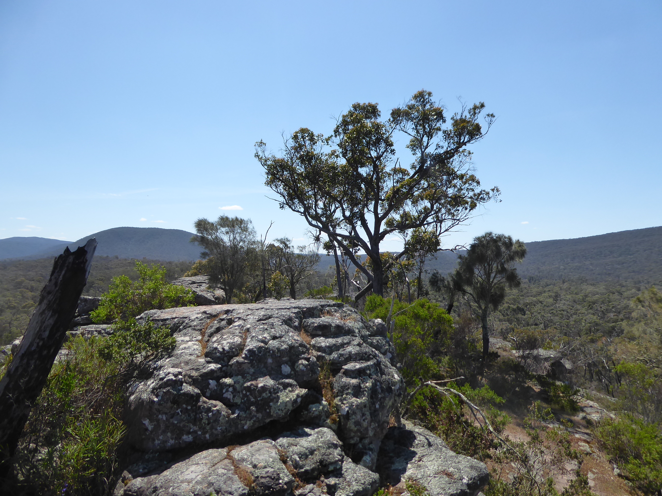
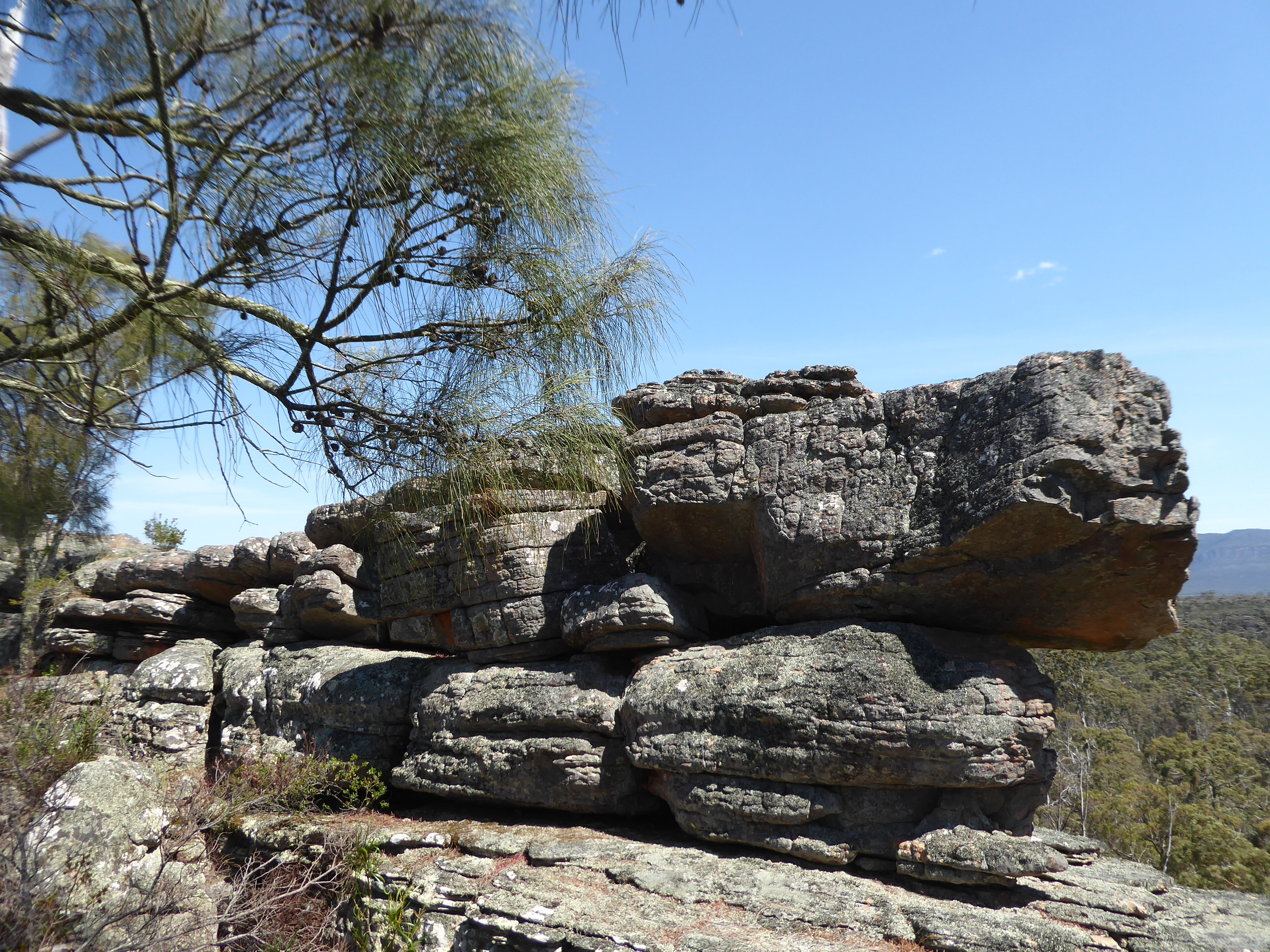
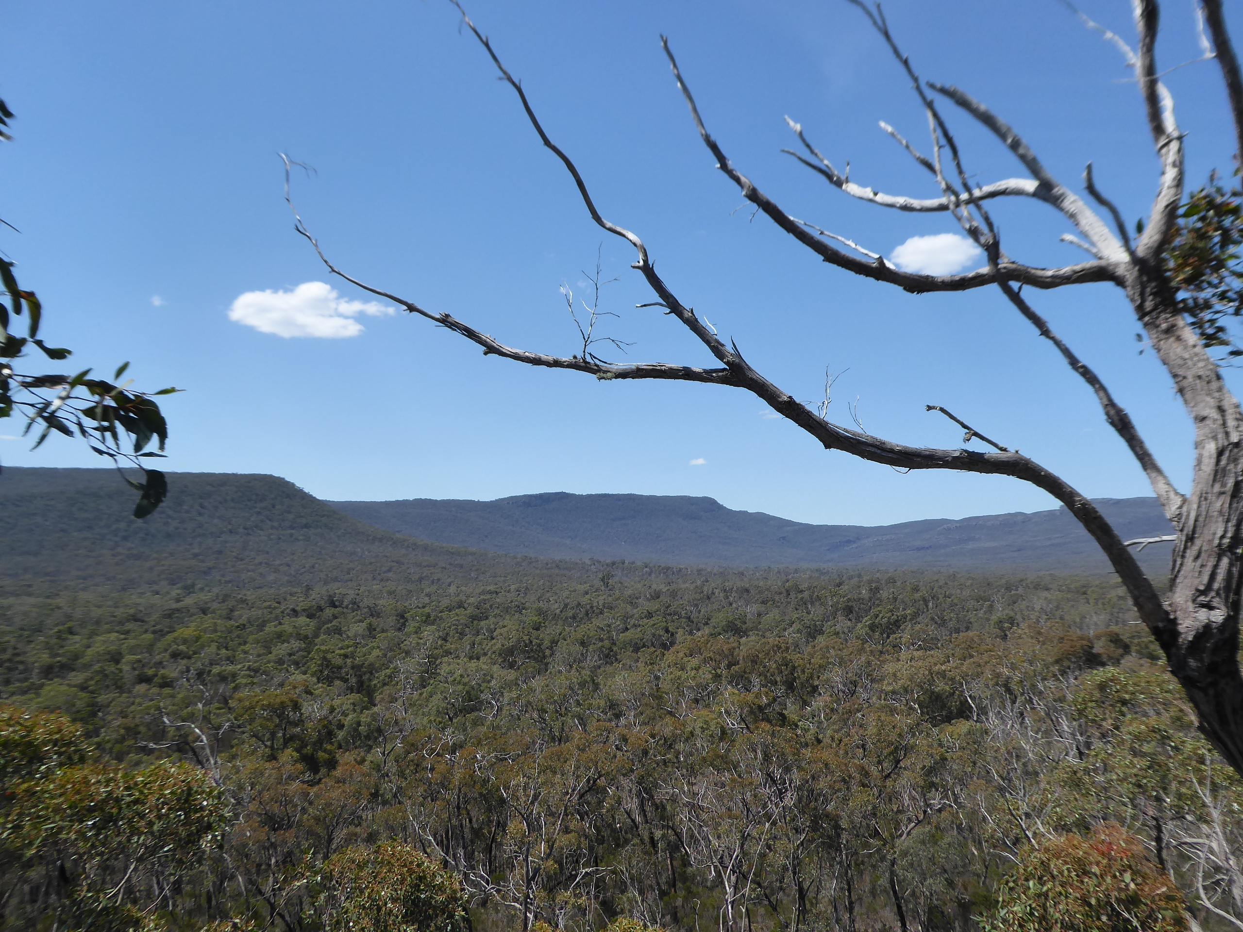
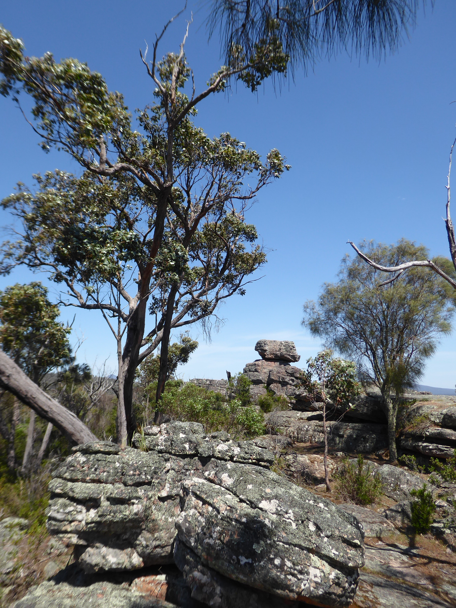
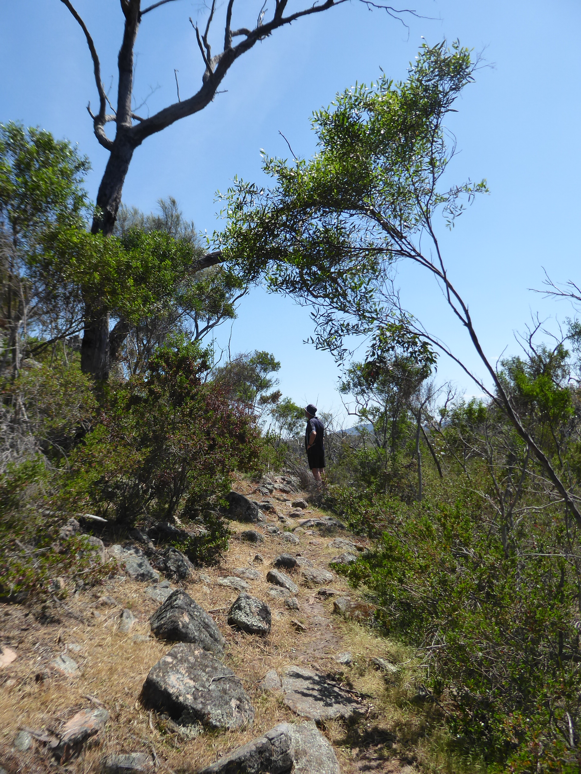
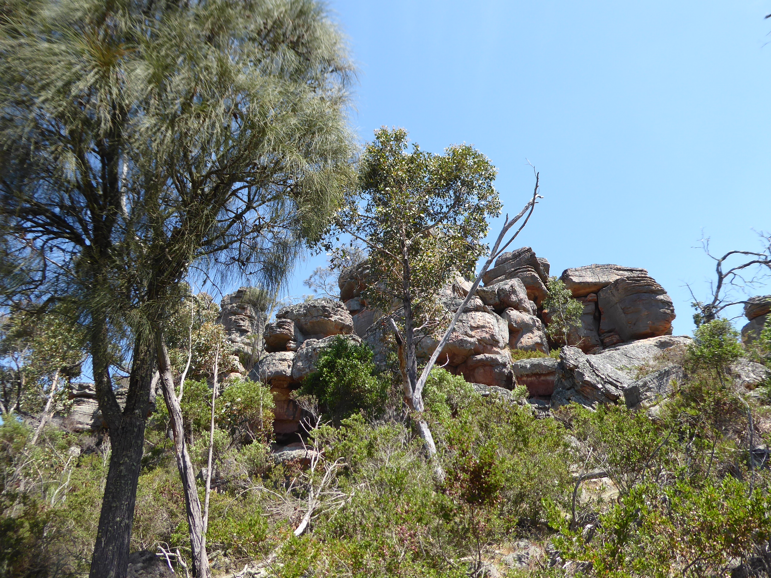
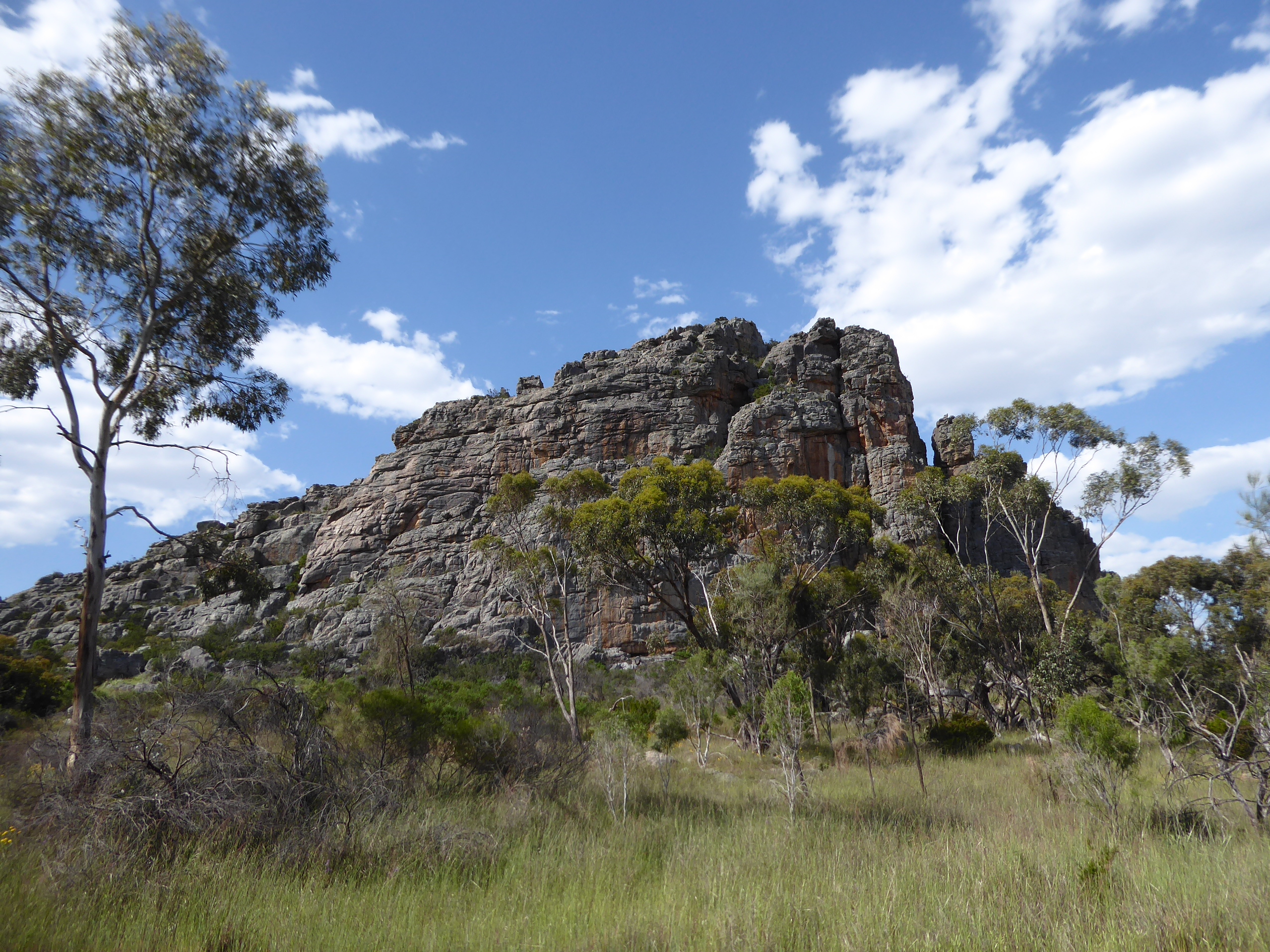
We decided not to camp as it was so hot, and followed on the Glenelg River Road to Paddy Castle – a rocky outcrop. We took the time to climb here and were rewarded with great views both ways from the top.

We headed on out via the Lodge Rd, joining up with Asses Ears road and eventually out on to the Henty Highway.
Afternoon tea was at Horsham. It was so hot that we found a spot by the lake to sit , but decided to hop back in he car and leave the engine running while we drank our cup of tea, rather than frying in the sizzling sun.
By now, we had decided that maybe Bordertown was a good place to stop for the night, so we threw ourselves once again on the generosity of relatives, and called Sue and Paul Diment, to see if there was a chance of catching up and possibly staying at their place overnight. Sure enough, we were welcomed with open arms, fed a stunning BBQ tea and offered lovely comfy beds to sleep in , instead of using our swags on the back lawn.
… But I am getting ahead of myself … We still needed to drive there, and came past the Edge of the Grampians and Mt Arapiles, stopping to check out the Jane Duff Park, where there is some excellent camping available , well back from the road (another one to remember)
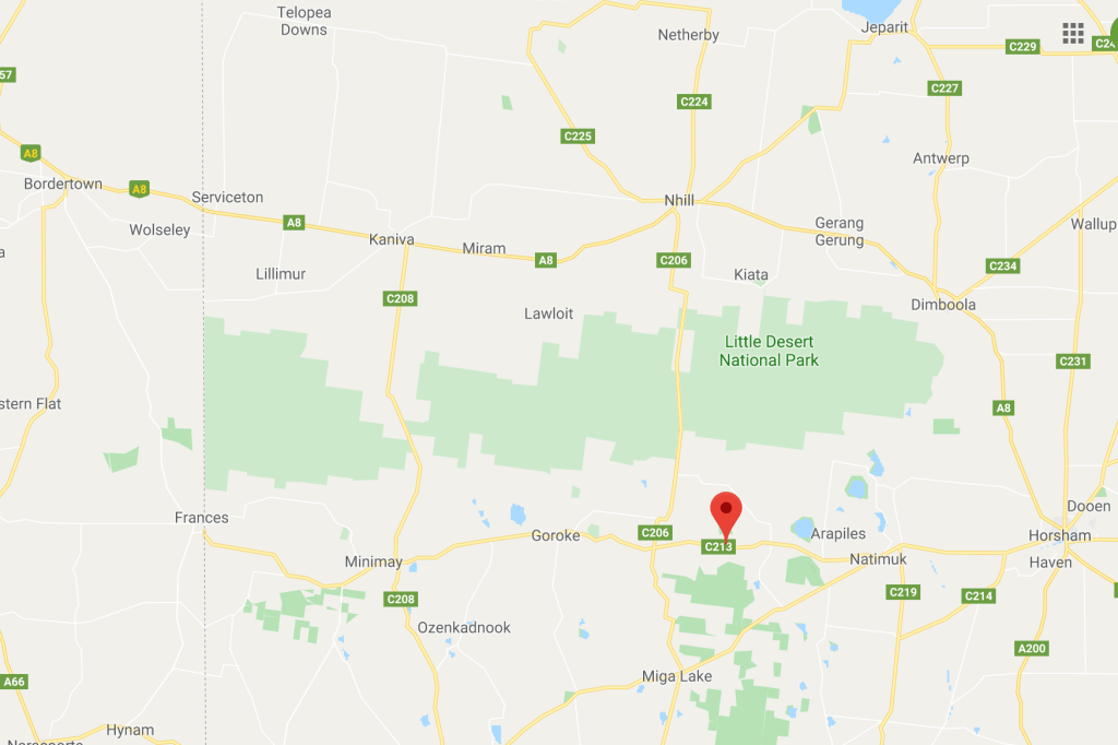
We took the back road from Frances into Bordertown (noticing that there is camping available at Frances Oval too)and arrived at Paul and Sue’s place just before Paul got home from work.